Grand Isle is a town in Jefferson Parish in the U.S. state of Louisiana, located on a barrier island of the same name in the Gulf of Mexico. The island is at the mouth of Barataria Bay where it meets the gulf. The town of Grand Isle is statistically part of the New Orleans−Metairie−Kenner metropolitan statistical area, though it is not connected to New Orleans’ continuous urbanized area.
The population was 1,005 as of the 2020 U.S census, down from 1,296 from the previous 2010 U.S census.
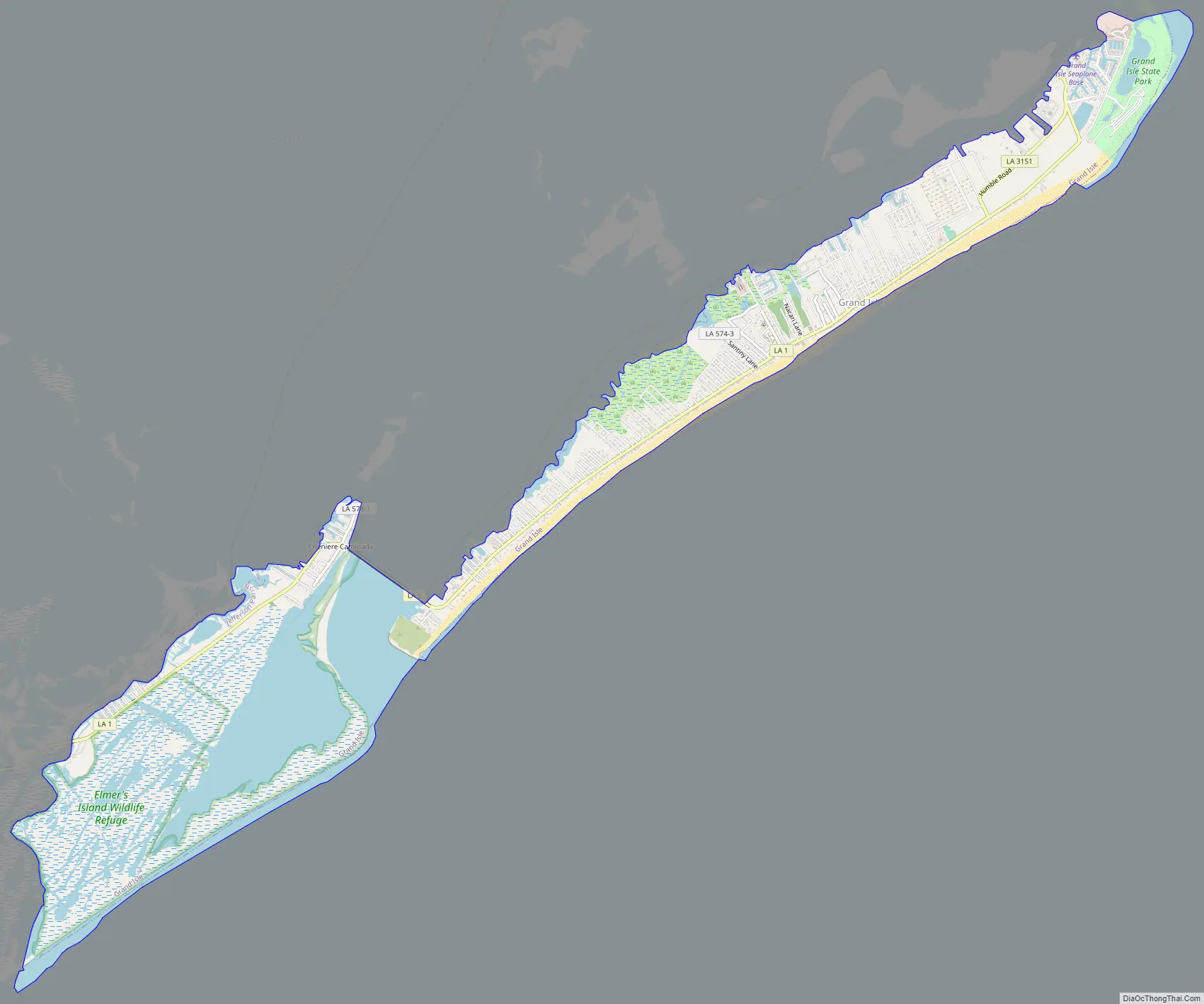
Grand Isle’s main street is the seaside start of Louisiana Highway 1 (LA 1), which stretches 436.2 miles (702.0 km) away to the northwest corner of the state, ending near Shreveport. LA 1’s automobile causeway at the west end of the island is the only land access to or from Grand Isle. Direct access to Grand Isle’s seat of parish government is 95 miles (153 km) away in suburban Jefferson Parish.
| Name: | Grand Isle town |
|---|---|
| LSAD Code: | 43 |
| LSAD Description: | town (suffix) |
| State: | Louisiana |
| County: | Jefferson Parish |
| Elevation: | 7 ft (2 m) |
| Total Area: | 8.17 sq mi (21.17 km²) |
| Land Area: | 6.40 sq mi (16.59 km²) |
| Water Area: | 1.77 sq mi (4.58 km²) |
| Total Population: | 1,005 |
| Population Density: | 156.93/sq mi (60.59/km²) |
| ZIP code: | 70358 |
| Area code: | 985 |
| FIPS code: | 2230830 |
| Website: | www.townofgrandisle.com |
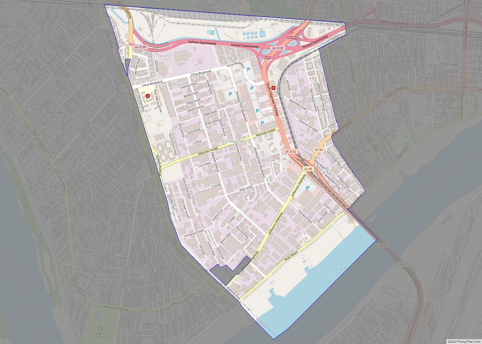
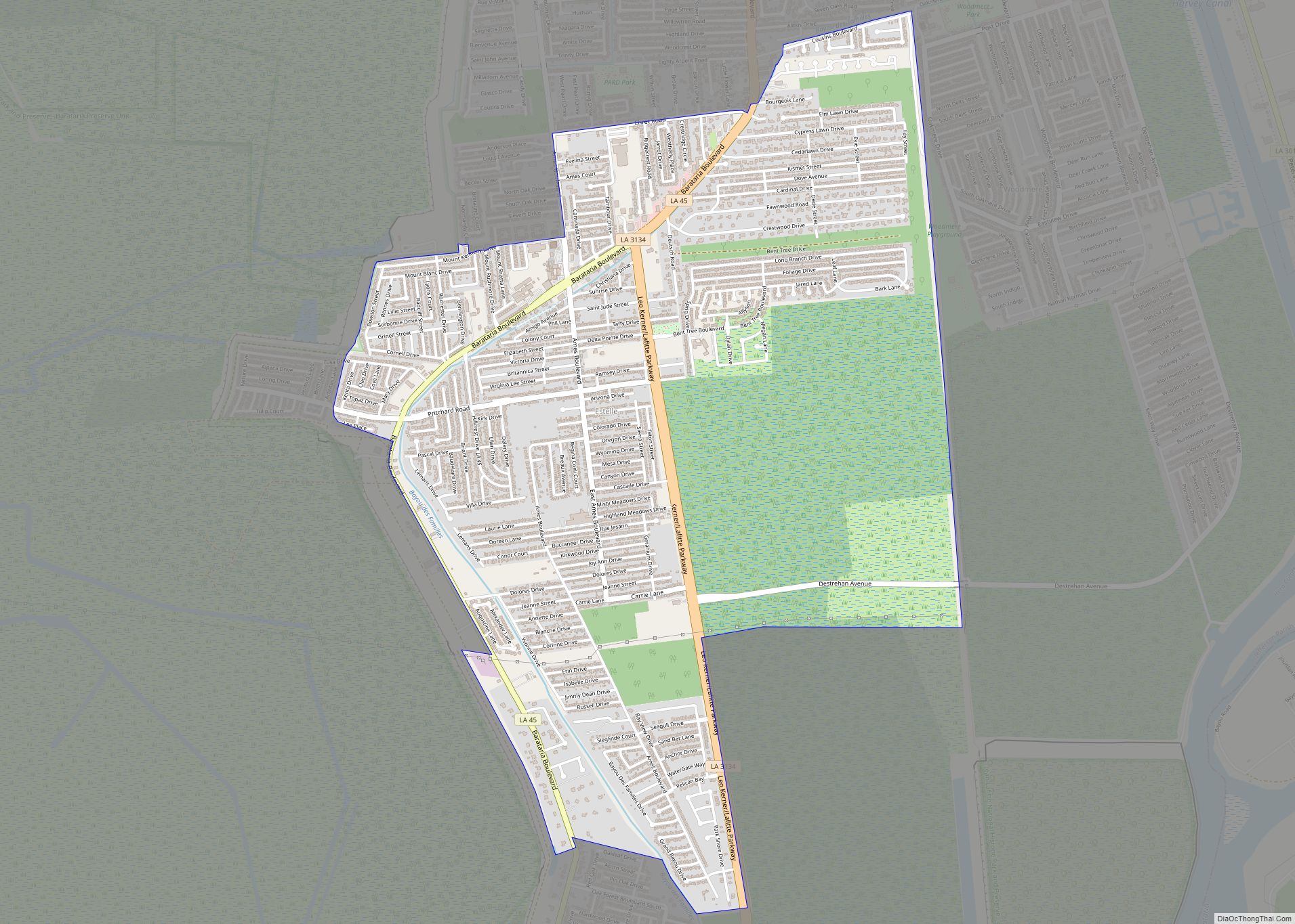
Online Interactive Map
Click on ![]() to view map in "full screen" mode.
to view map in "full screen" mode.
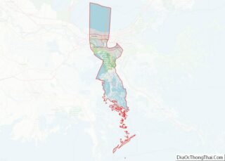
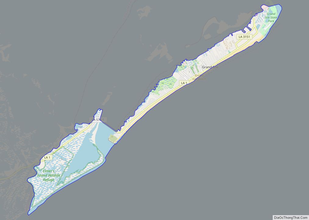
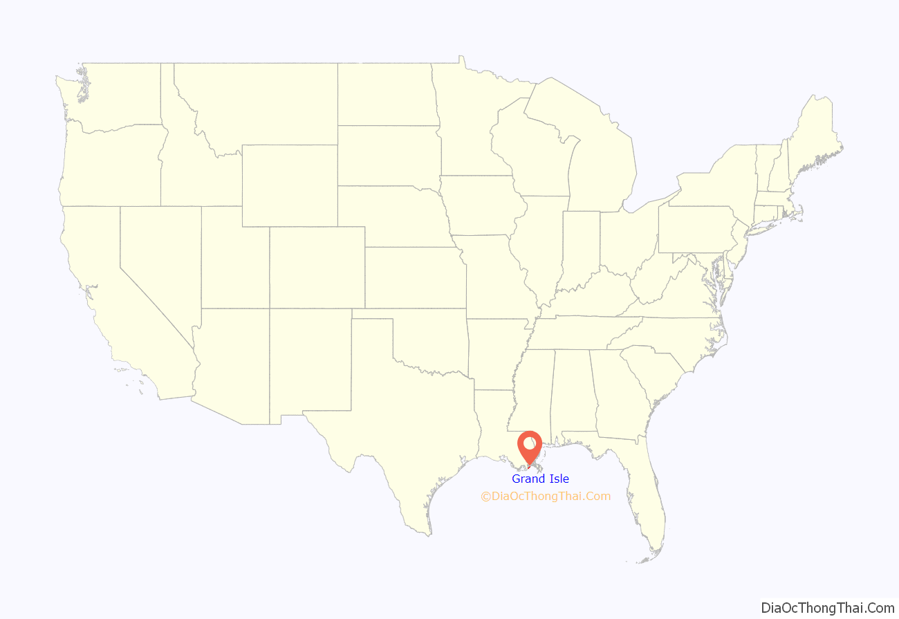
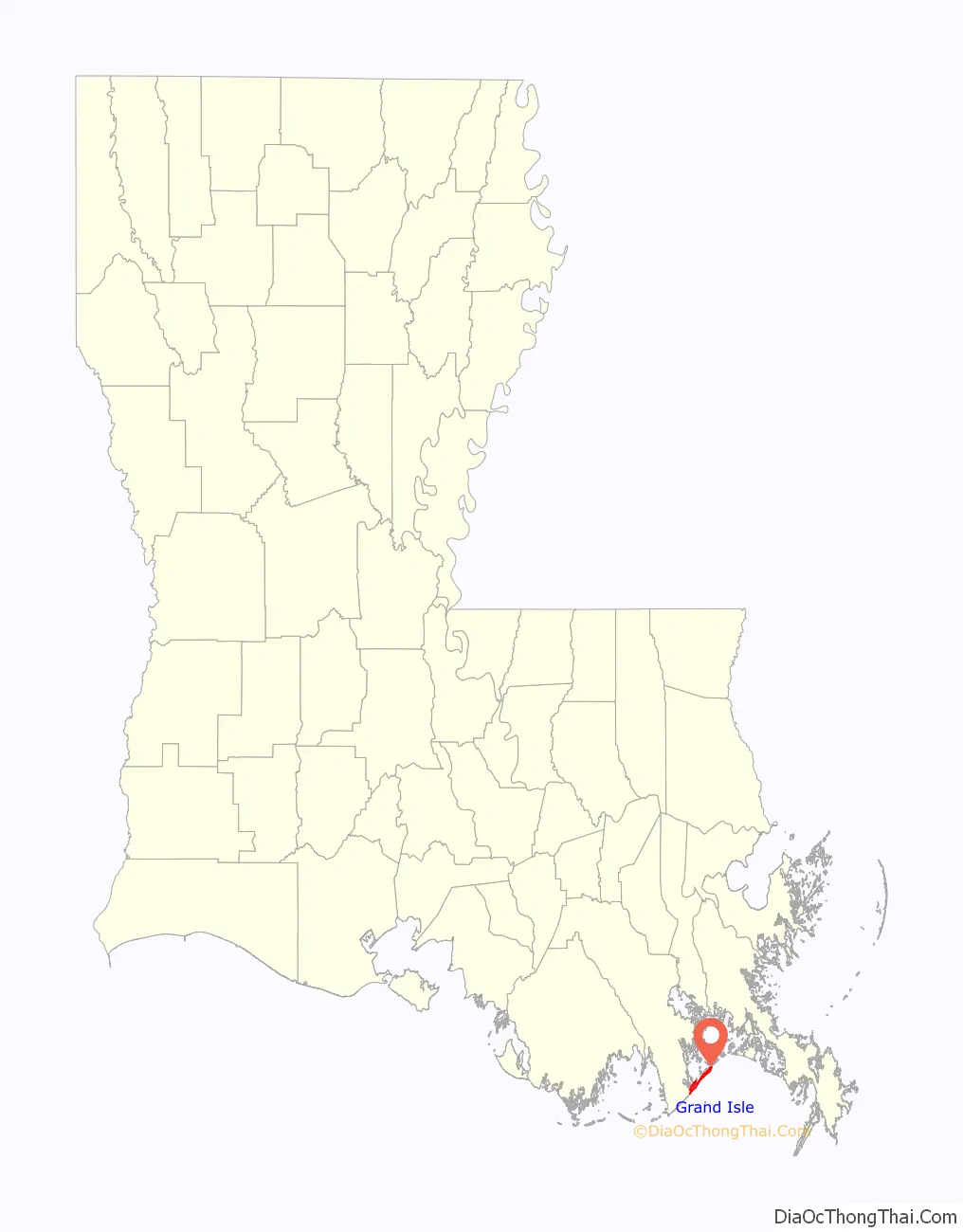
Grand Isle location map. Where is Grand Isle town?
History
Grand Isle has been repeatedly pummeled by hurricanes throughout its history. On average, the town and barrier island of Grand Isle has been affected by tropical storms or hurricanes every 2.68 years (since 1877), with direct hits on average every 7.88 years. Some of the more severe are listed here.
In 1860, a 6-foot (2 m) storm surge and great winds resulted in the total devastation of the island. In the 1893 Atlantic hurricane season Grand Isle was devastated by a 16-foot (5 m) storm surge. In the 1909 Atlantic hurricane season the island was hit with a second 16-foot (5 m) storm surge. A category 4 hurricane devastated Grand Isle on 29 September during the 1915 Atlantic hurricane season. Grand Isle was hit by a 3.6-foot (1.1 m) storm surge on 22 August during the 1947 Atlantic hurricane season. In 1956, Hurricane Flossy damaged the island.
Hurricane Betsy in September 1965 and Tropical Storm Frances in 1998 put the entire island under water. On 26 September 2002, Grand Isle was hit by Hurricane Isidore, soon followed by Hurricane Lili passing to the west of the island, causing significant damage. Hurricane Cindy made a direct hit on Grand Isle on July 5, 2005. Even though damage was essentially limited to power outages and beach erosion, the storm’s strength still caught residents by surprise.
Hurricane Katrina pounded Grand Isle for two days, August 28–29, 2005, destroying or damaging homes and camps along the entire island. Katrina’s surge reached 5 ft (1.5 m) at Grand Isle. Large waves severely damaged the only bridge linking Grand Isle to the mainland. A news report published less than two days after the hurricane hit falsely noted, however, that the area had been completely destroyed, reporting a scene similar to that which befell Last Island in 1856. Less than a month later, Grand Isle was further affected by Hurricane Rita. By mid October, a number of businesses were again open on the island.
Hurricane Gustav reached shore west of the island on September 1, 2008, at 9 am CDT, and hit it with a measured wind speed of 105 mph (169 km/h). It was one of the few locations in Louisiana affected while the storm was still classified as a major hurricane. While both storms’ eyes passed the island at similar distances, Katrina’s eastern passing caused the greatest damage on the bay side. The Gustav surge that washed over the island caused less damage than Katrina, in part due to the most vulnerable structures having already been destroyed by Katrina. Current construction codes prevented the rebuilding of such vulnerable structures. Barataria Pass water levels peaked at 5 ft (1.5 m) above recent high tide. Homes along Louisiana Highway 1 had 2 ft (0.6 m) of water below them. Large sections of levee/dunes were washed onto the highway.
Hurricane Ike passed far south of the island on September 11, 2008, while crews worked to restore power and repair the levee/dune damage caused by Gustav. Some sections of LA 1 west of the island were covered by 1 ft (0.3 m) of water. Wind gusts reached 50 mph (80 km/h) and Barataria Pass water levels reached 3 ft (0.9 m) above recent high tide while Ike was 200 miles (320 km) away.
Hurricane Ida’s eastern eye wall hit the area on August 29, 2021, on the 16th anniversary of Hurricane Katrina, causing widespread damage. It was reported that 100 percent of Grand Isle’s structures were damaged, and around 40–50 percent of structures were completely destroyed. Nearly all of the town’s utility poles had either bent or collapsed from the extreme winds. Entergy decided to fully rebuild and strengthen the island’s power grid instead of repairing it like most communities north of Grand Isle had received.
Restoration
In 1998, the state of Louisiana and its federal and local partners approved a coastal restoration project called Coast 2050: Toward a Sustainable Coast. It is a $14 billion fund that is hoped to be allocated over 50 years in around 77 restoration projects with the aim of creating a sustainable ecosystem of coastal Louisiana. While the plan focuses on all of Louisiana, restoration of the Barataria Basin was the first priority and Grand Isle is at the mouth of Barataria Bay. On February 18, 2000, the United States Army Corps of Engineers and the Louisiana Department of Natural Resources signed an agreement to initiate a restoration plan to this basin. The loss of wetland in Barataria Bay is estimated at about 11 square miles per year from 1978-1990 (Fuller et al. 1995). Most strategies in the Barataria Basin region depend on the overall input, movement, and circulation of water, sediment, and nutrients in the basin. Other strategies can be implemented independently of these considerations. These include barrier shoreline restoration, marsh creation in the southwestern basin, and a delta-building diversion from the lower Mississippi. The completion of Coast 2050 was to restore and protect 450,000 acres of wetland. U.S. Congress had not approved the Coast 2050 plan, and when Hurricane Katrina and Hurricane Rita hit, the federal government was studying a less costly, scaled down proposal which could be initiated in the span of a decade.
In April 2009, the Mississippi River Sediment Delivery System was proposed to channel dredged sediment from the Mississippi River to the wetlands in South Louisiana to restore 474 acres (192 ha) of tidal marsh. Approximately 200 million tons of sediment flows down the Mississippi River annually, of which the Army Corps of Engineers dredges about 60 million cubic yards of the sediment to maintain Louisiana’s waterways. According to the project documents, if successful, the Sediment Delivery system could potentially create 18 square miles (47 km) of marsh a year and reduce wetland losses by as much as two-thirds. The dredged sediment will be piped to Bayou Dupont via a 1-meter (3 ft 3 in) pipe, to a 500-acre (200 ha) area of open water and broken marsh. Once the area has been adequately filled, it will be planted with marsh grasses. It is estimated that the project will cost $28 million and be completed by August 2009.
The National Oceanic and Atmospheric Administration put up $3 million in the summer of 2009 in federal stimulus grants to restore a protective marsh that will shield the island from backwater flooding. The money will help Grand Isle strengthen its natural defenses, provide better hurricane protection, while also preserving a critical barrier island that buffers inland parishes from the full force of hurricanes. In 2009, the Louisiana Department of Natural Resources used $3 million to dredge sediment from the Mississippi River and create 50 acres (20 ha) of tidal marsh. Not only will the marsh help support recreational and commercial fisheries by providing a healthy habitat, officials said, but it will also buffer the island and reduce storm surge and flooding.
Also in 2009, the Nature Conservancy received a $4 million grant for its Grand Isle shoreline-restoration project, which will create four miles of oyster reefs along the beach in Grand Isle and Biloxi Marsh. (see oyster reef restoration) The frames eventually grow into 2-to-3-foot-high (0.61–0.91 m) oyster reefs that buffer the shore and create productive ocean habitats for fish. Once these reefs have fully restored themselves, they will also help filter the water. The Nature Conservancy hope that these oysters colonize on breakwater structures and that the space on these breakwater structures increase biodiversity.
In response the Deepwater Horizon Oil Spill, the Coalition and the National Wildlife Foundation organized the planting of more than 1,600 mangroves in Grand Isle State Park on June 25, 2011. They hope that this planting will help stabilize the sediment and sand and provide habitat for wildlife, specifically pelicans.
On September 29, 2012, the Coalition to Restore Coastal Louisiana (CRCL) and the Abita Brewing Company partnered together to bring out more than 100 volunteers to help restore and protect the beach dunes at Grand Isle State Park in response to Hurricane Isaac. It was the first project undertaken in Grand Isle since Hurricane Issac made landfall. Volunteers installed dune fences and planted more than 12,000 plugs of dune grass. This will help stabilize the fragile beach along Grand Isle. Abita Beer and CRCL together implemented this and other restoration projects which will directly restore dune habitat and strengthen Grand Isle State Park and other sites in the future.
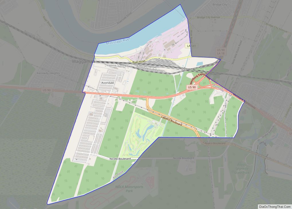
Grand Isle Road Map
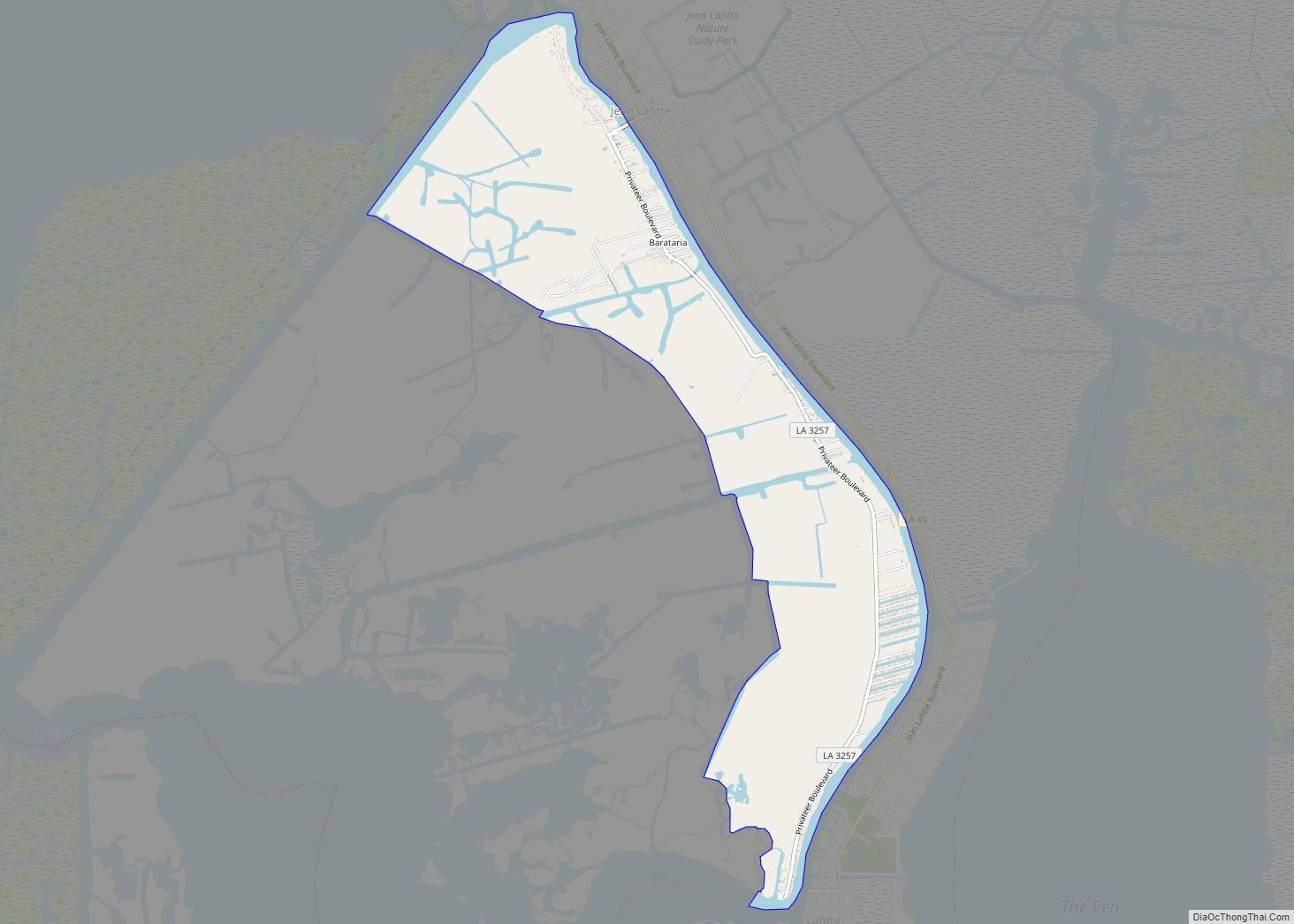
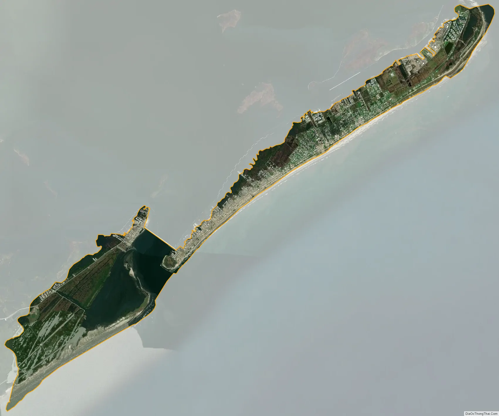
Grand Isle city Satellite Map
Geography
According to the United States Census Bureau, the town covered a total area of 7.8 square miles (20 km), of which 6.1 square miles (16 km) is land and 1.7 square miles (4.4 km) (20.88%) is water.
Climate
Grand Island has a humid subtropical climate with mild winters and long, hot, humid summers.
Coastal protections
In 2010, the United States Army Corps of Engineers installed an artificial levee along the island’s southern coast that cost $52 million and measures 7.7 miles (12.4 km) long, 13 feet (4.0 m) tall, and 80 feet (24 m) wide. The core of the levee consists of an 8+1⁄2-by-30-foot (2.6 m × 9.1 m) geotextile tube core that gives the levee its nickname of the “Burrito Levee”. The tube is filled with 760,000 cubic yards (580,000 m) of sand pumped from the gulf floor. In 2017, Jefferson Parish declared a state of emergency over the levee’s disrepair and exposed core. The levee has been damaged by multiple storms, including Tropical Storm Cristobal and Hurricane Zeta in 2020 and Hurricane Ida in 2021.
See also
Map of Louisiana State and its subdivision:- Acadia
- Allen
- Ascension
- Assumption
- Avoyelles
- Beauregard
- Bienville
- Bossier
- Caddo
- Calcasieu
- Caldwell
- Cameron
- Catahoula
- Claiborne
- Concordia
- De Soto
- East Baton Rouge
- East Carroll
- East Feliciana
- Evangeline
- Franklin
- Grant
- Iberia
- Iberville
- Jackson
- Jefferson
- Jefferson Davis
- La Salle
- Lafayette
- Lafourche
- Lincoln
- Livingston
- Madison
- Morehouse
- Natchitoches
- Orleans
- Ouachita
- Plaquemines
- Pointe Coupee
- Rapides
- Red River
- Richland
- Sabine
- Saint Bernard
- Saint Charles
- Saint Helena
- Saint James
- Saint John the Baptist
- Saint Landry
- Saint Martin
- Saint Mary
- Saint Tammany
- Tangipahoa
- Tensas
- Terrebonne
- Union
- Vermilion
- Vernon
- Washington
- Webster
- West Baton Rouge
- West Carroll
- West Feliciana
- Winn
- Alabama
- Alaska
- Arizona
- Arkansas
- California
- Colorado
- Connecticut
- Delaware
- District of Columbia
- Florida
- Georgia
- Hawaii
- Idaho
- Illinois
- Indiana
- Iowa
- Kansas
- Kentucky
- Louisiana
- Maine
- Maryland
- Massachusetts
- Michigan
- Minnesota
- Mississippi
- Missouri
- Montana
- Nebraska
- Nevada
- New Hampshire
- New Jersey
- New Mexico
- New York
- North Carolina
- North Dakota
- Ohio
- Oklahoma
- Oregon
- Pennsylvania
- Rhode Island
- South Carolina
- South Dakota
- Tennessee
- Texas
- Utah
- Vermont
- Virginia
- Washington
- West Virginia
- Wisconsin
- Wyoming