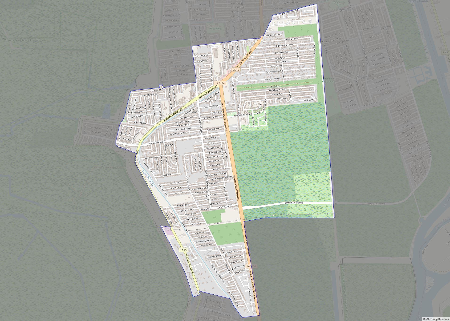
Barataria is a census-designated place (CDP) in Jefferson Parish, Louisiana, United States. The population was 1,057 in 2020. It is part of the New Orleans–Metairie–Kenner metropolitan statistical area.
| Name: | Barataria CDP |
|---|---|
| LSAD Code: | 57 |
| LSAD Description: | CDP (suffix) |
| State: | Louisiana |
| County: | Jefferson Parish |
| Elevation: | 3 ft (0.9 m) |
| Total Area: | 4.80 sq mi (12.44 km²) |
| Land Area: | 4.29 sq mi (11.10 km²) |
| Water Area: | 0.52 sq mi (1.34 km²) |
| Total Population: | 1,057 |
| Population Density: | 246.67/sq mi (95.24/km²) |
| ZIP code: | 70036 |
| Area code: | 504 |
| FIPS code: | 2204300 |
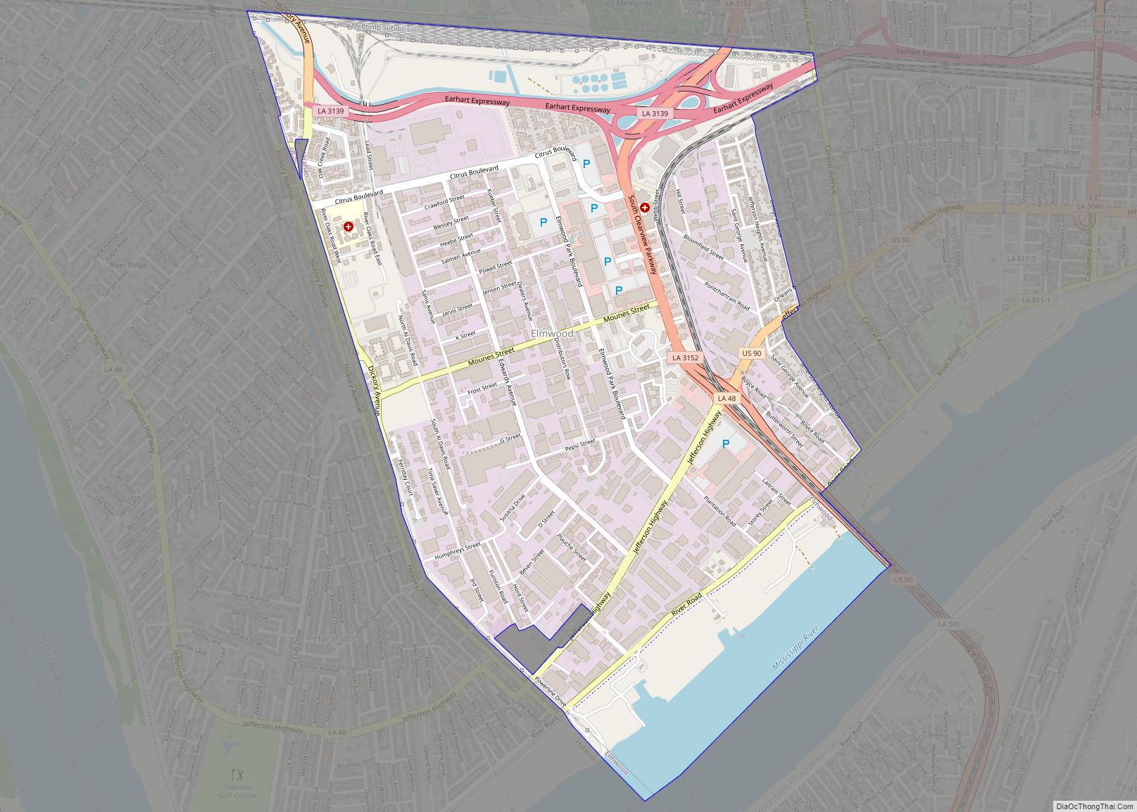
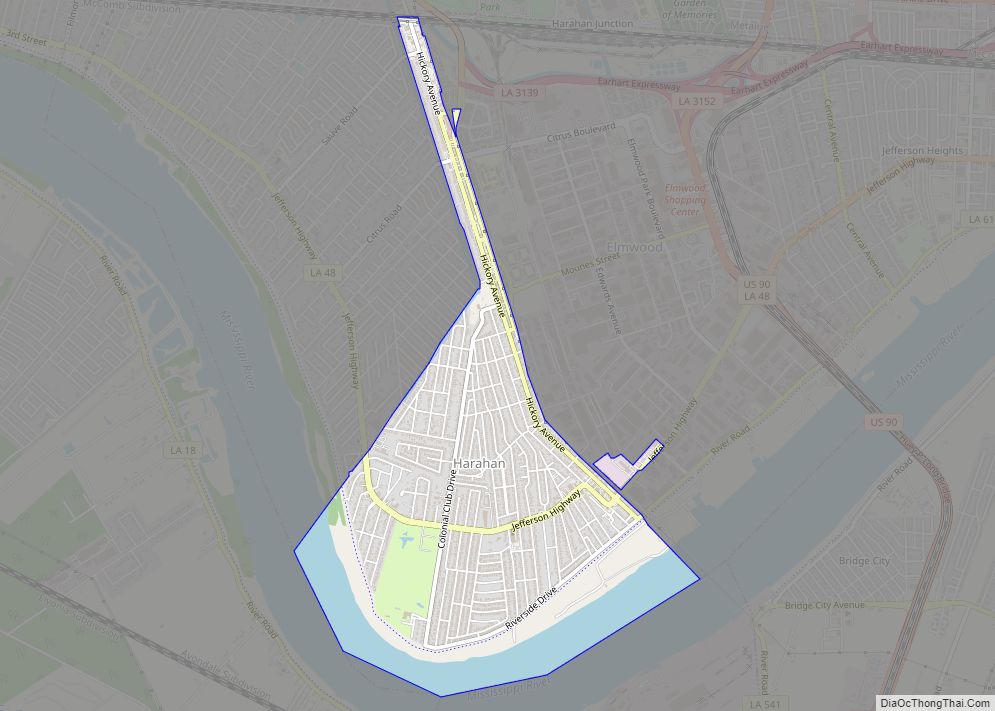
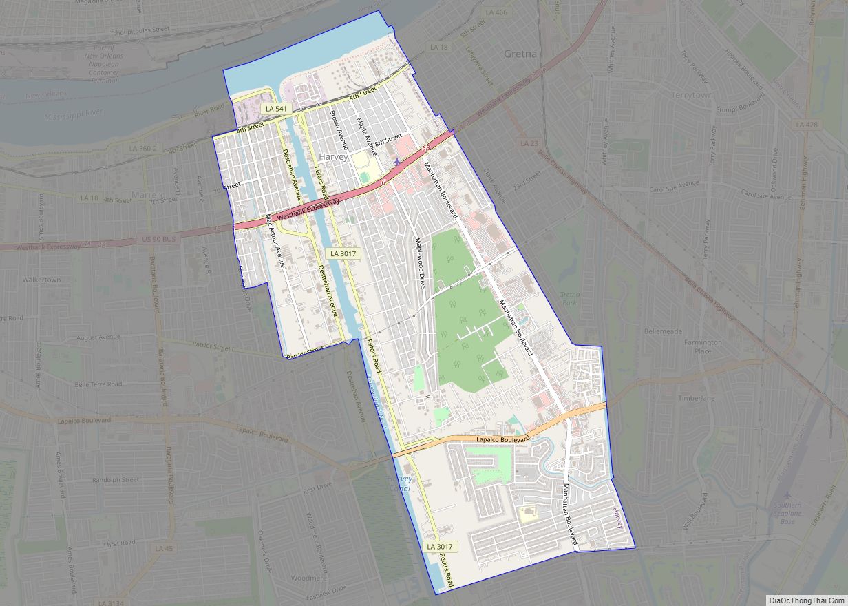
Online Interactive Map
Click on ![]() to view map in "full screen" mode.
to view map in "full screen" mode.
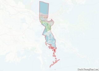
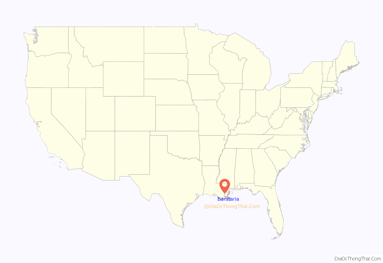
Barataria location map. Where is Barataria CDP?
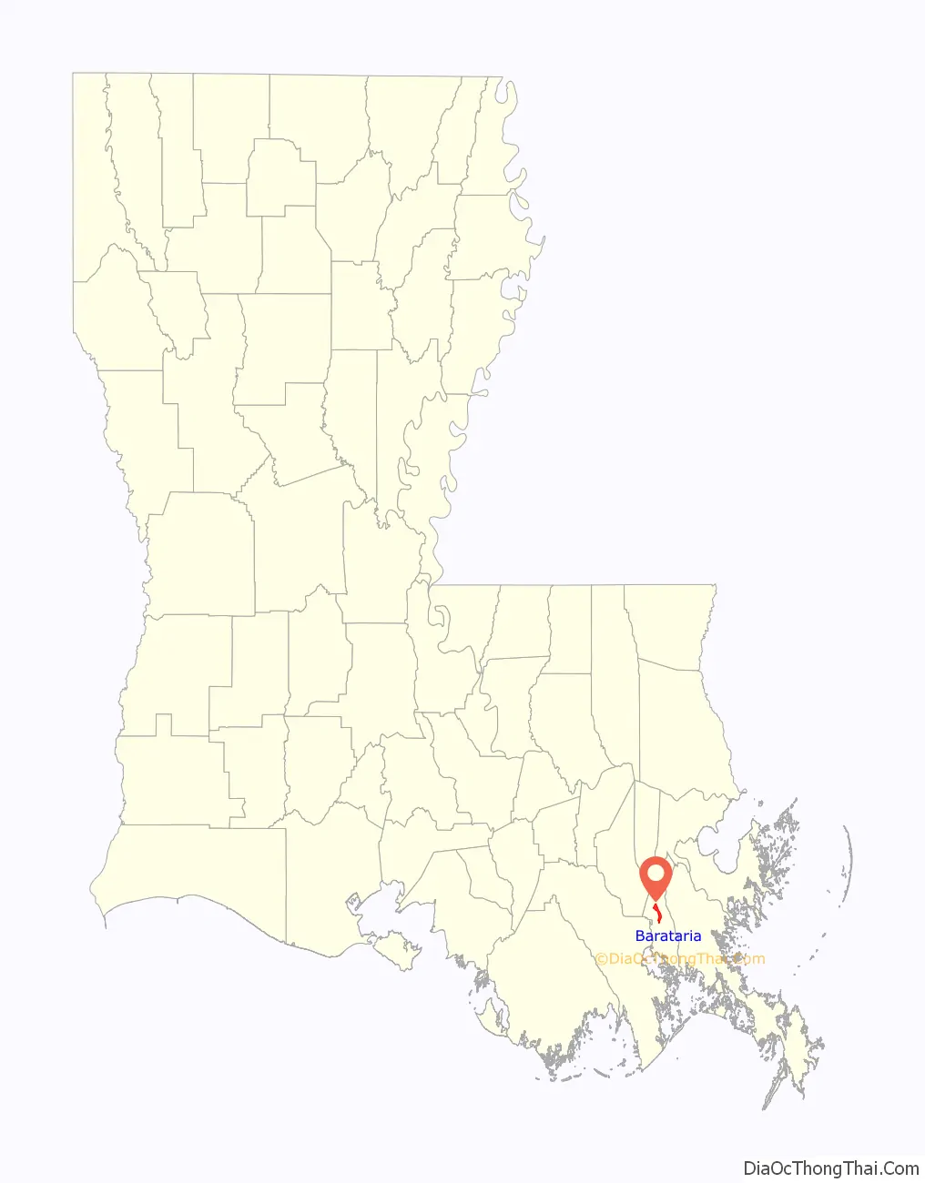
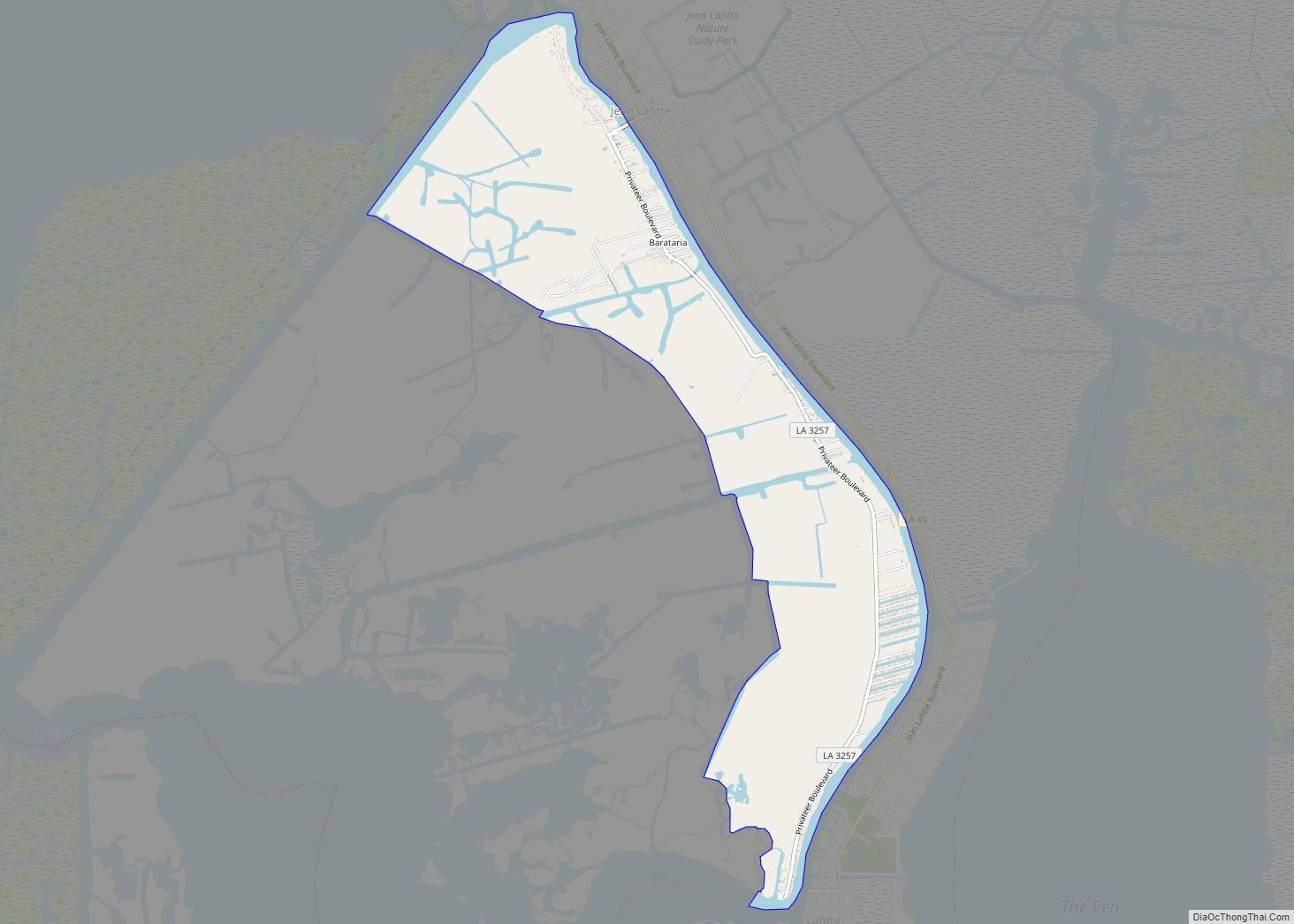
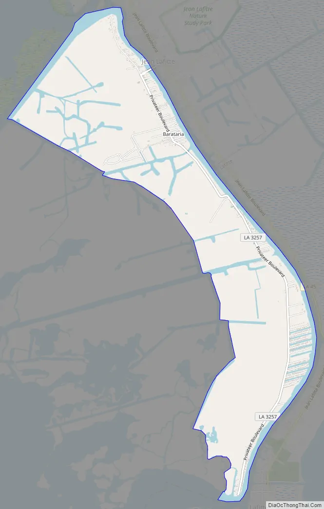
Barataria Road Map
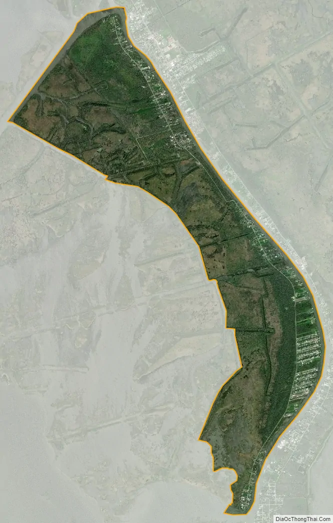
Barataria city Satellite Map
Geography
Barataria is located in south-central Jefferson Parish at 29°42′54″N 90°6′58″W / 29.71500°N 90.11611°W / 29.71500; -90.11611 (29.715121, -90.116024), on the west side of Bayou Barataria and just east of Lake Salvador. It is bordered to the east, across Bayou Barataria, by the town of Jean Lafitte and the unincorporated community of Lafitte. Barataria is 23 miles (37 km) south of New Orleans.
According to the United States Census Bureau, the Barataria CDP has a total area of 4.8 square miles (12.4 km), of which 4.3 square miles (11.1 km) are land and 0.50 square miles (1.3 km), or 10.75%, are water.
See also
Map of Louisiana State and its subdivision:- Acadia
- Allen
- Ascension
- Assumption
- Avoyelles
- Beauregard
- Bienville
- Bossier
- Caddo
- Calcasieu
- Caldwell
- Cameron
- Catahoula
- Claiborne
- Concordia
- De Soto
- East Baton Rouge
- East Carroll
- East Feliciana
- Evangeline
- Franklin
- Grant
- Iberia
- Iberville
- Jackson
- Jefferson
- Jefferson Davis
- La Salle
- Lafayette
- Lafourche
- Lincoln
- Livingston
- Madison
- Morehouse
- Natchitoches
- Orleans
- Ouachita
- Plaquemines
- Pointe Coupee
- Rapides
- Red River
- Richland
- Sabine
- Saint Bernard
- Saint Charles
- Saint Helena
- Saint James
- Saint John the Baptist
- Saint Landry
- Saint Martin
- Saint Mary
- Saint Tammany
- Tangipahoa
- Tensas
- Terrebonne
- Union
- Vermilion
- Vernon
- Washington
- Webster
- West Baton Rouge
- West Carroll
- West Feliciana
- Winn
- Alabama
- Alaska
- Arizona
- Arkansas
- California
- Colorado
- Connecticut
- Delaware
- District of Columbia
- Florida
- Georgia
- Hawaii
- Idaho
- Illinois
- Indiana
- Iowa
- Kansas
- Kentucky
- Louisiana
- Maine
- Maryland
- Massachusetts
- Michigan
- Minnesota
- Mississippi
- Missouri
- Montana
- Nebraska
- Nevada
- New Hampshire
- New Jersey
- New Mexico
- New York
- North Carolina
- North Dakota
- Ohio
- Oklahoma
- Oregon
- Pennsylvania
- Rhode Island
- South Carolina
- South Dakota
- Tennessee
- Texas
- Utah
- Vermont
- Virginia
- Washington
- West Virginia
- Wisconsin
- Wyoming