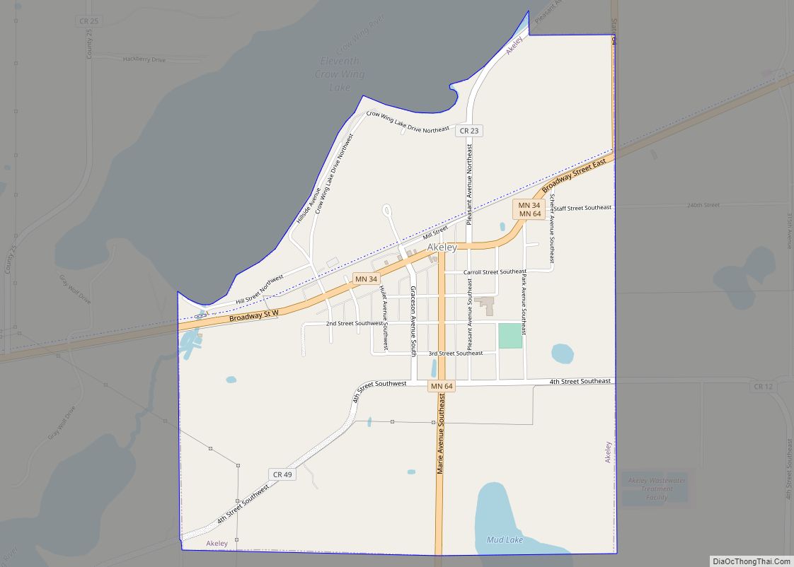
Akeley (/ˈeɪkli/ AYK-lee) is a city in Hubbard County, Minnesota, United States. The population was 404 at the 2020 census.
| Name: | Akeley city |
|---|---|
| LSAD Code: | 25 |
| LSAD Description: | city (suffix) |
| State: | Minnesota |
| County: | Hubbard County |
| Elevation: | 1,430 ft (436 m) |
| Total Area: | 1.49 sq mi (3.87 km²) |
| Land Area: | 1.47 sq mi (3.80 km²) |
| Water Area: | 0.03 sq mi (0.07 km²) |
| Total Population: | 404 |
| Population Density: | 275.02/sq mi (106.19/km²) |
| ZIP code: | 56433 |
| Area code: | 218 |
| FIPS code: | 2700496 |
| GNISfeature ID: | 0655094 |
| Website: | akeleymn.com |
Online Interactive Map
Click on ![]() to view map in "full screen" mode.
to view map in "full screen" mode.
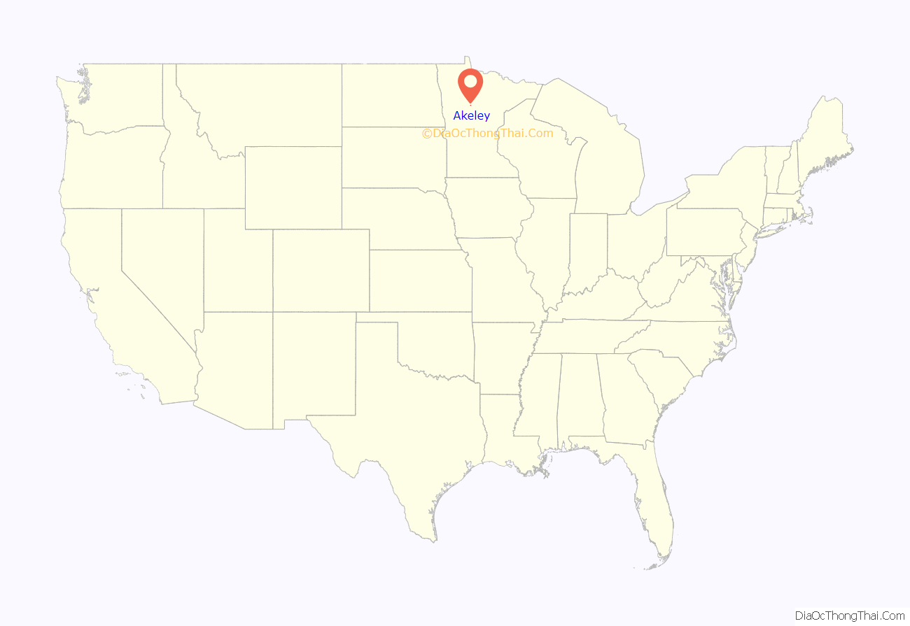
Akeley location map. Where is Akeley city?

History
The city of Akeley was incorporated on December 30, 1916. It was largely developed by a partnership between lumber magnate T. B. Walker and Healy C. Akeley, who formed the Red River Lumber Company in 1893. General settlement of Akeley began in 1895. After Walker built a sawmill in 1902, Akeley’s development skyrocketed. The mill was once the largest in the state of Minnesota. Thomas B. Walker had intended to build the mill in what would later become Walker, Minnesota, but chose Akeley instead because of his wife’s disapproval of the bars and brothels in the Walker area.
Because of the mill, and the train depot built in 1899, Akeley became a boomtown. Lumberjacks came and went on every freight train. The population swelled from 2,000 to over 3,500 between 1907 and 1908. Now the town has fewer than 500 residents.
Akeley Road Map
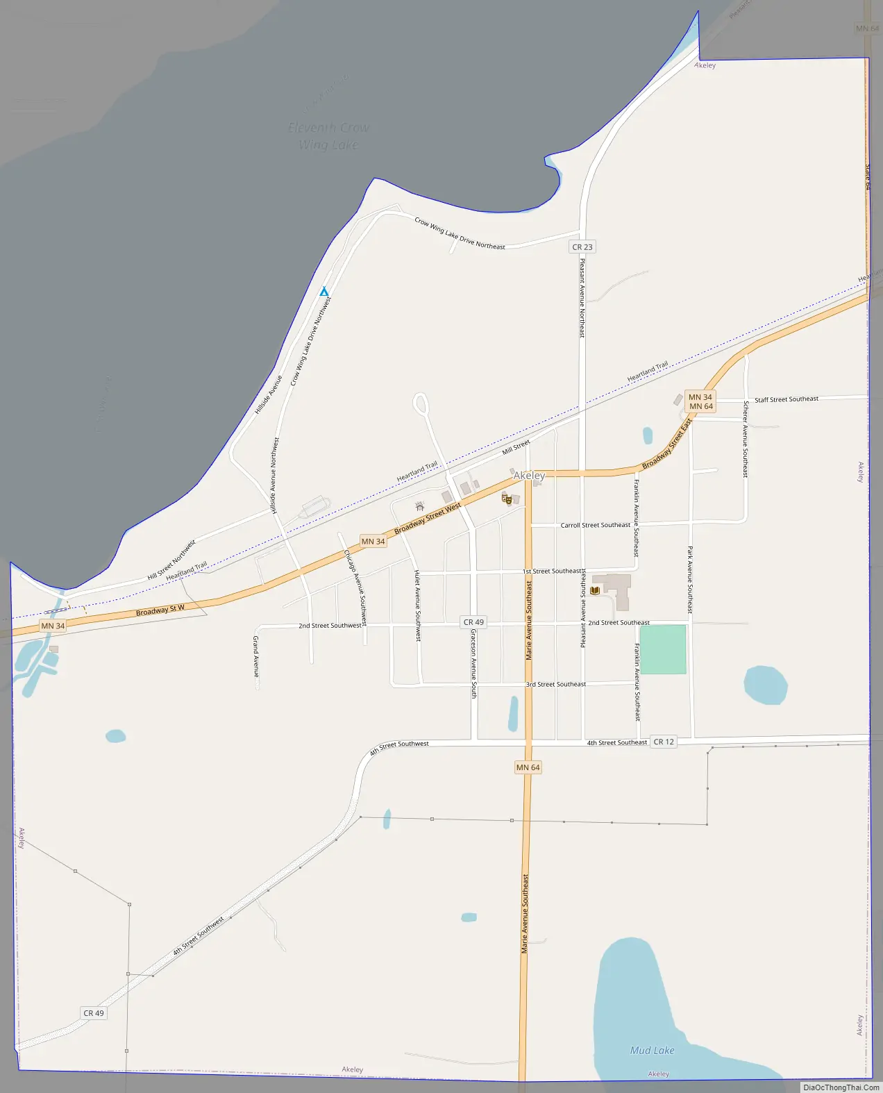
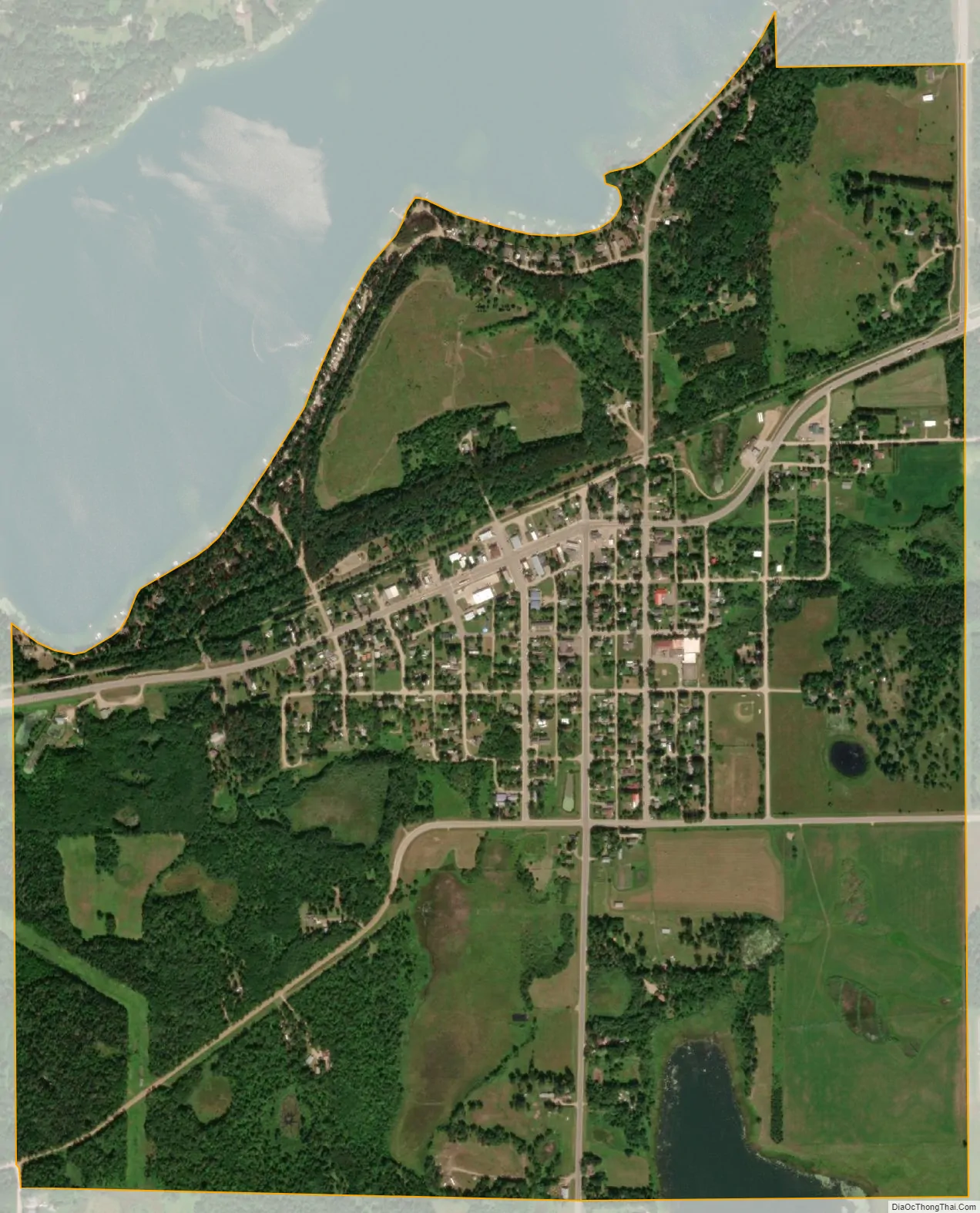
Akeley city Satellite Map
Geography
According to the United States Census Bureau, the city has a total area of 1.50 square miles (3.88 km), of which 1.47 square miles (3.81 km) is land and 0.03 square miles (0.08 km) is water.
See also
Map of Minnesota State and its subdivision:- Aitkin
- Anoka
- Becker
- Beltrami
- Benton
- Big Stone
- Blue Earth
- Brown
- Carlton
- Carver
- Cass
- Chippewa
- Chisago
- Clay
- Clearwater
- Cook
- Cottonwood
- Crow Wing
- Dakota
- Dodge
- Douglas
- Faribault
- Fillmore
- Freeborn
- Goodhue
- Grant
- Hennepin
- Houston
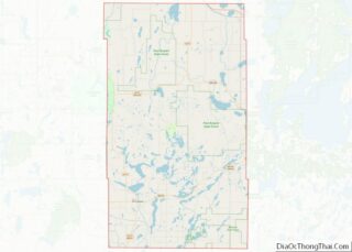
- Hubbard
- Isanti
- Itasca
- Jackson
- Kanabec
- Kandiyohi
- Kittson
- Koochiching
- Lac qui Parle
- Lake
- Lake of the Woods
- Lake Superior
- Le Sueur
- Lincoln
- Lyon
- Mahnomen
- Marshall
- Martin
- McLeod
- Meeker
- Mille Lacs
- Morrison
- Mower
- Murray
- Nicollet
- Nobles
- Norman
- Olmsted
- Otter Tail
- Pennington
- Pine
- Pipestone
- Polk
- Pope
- Ramsey
- Red Lake
- Redwood
- Renville
- Rice
- Rock
- Roseau
- Saint Louis
- Scott
- Sherburne
- Sibley
- Stearns
- Steele
- Stevens
- Swift
- Todd
- Traverse
- Wabasha
- Wadena
- Waseca
- Washington
- Watonwan
- Wilkin
- Winona
- Wright
- Yellow Medicine
- Alabama
- Alaska
- Arizona
- Arkansas
- California
- Colorado
- Connecticut
- Delaware
- District of Columbia
- Florida
- Georgia
- Hawaii
- Idaho
- Illinois
- Indiana
- Iowa
- Kansas
- Kentucky
- Louisiana
- Maine
- Maryland
- Massachusetts
- Michigan
- Minnesota
- Mississippi
- Missouri
- Montana
- Nebraska
- Nevada
- New Hampshire
- New Jersey
- New Mexico
- New York
- North Carolina
- North Dakota
- Ohio
- Oklahoma
- Oregon
- Pennsylvania
- Rhode Island
- South Carolina
- South Dakota
- Tennessee
- Texas
- Utah
- Vermont
- Virginia
- Washington
- West Virginia
- Wisconsin
- Wyoming