Walker is a city in Cass County, Minnesota, United States. The population was 941 at the 2010 census. It is the county seat of Cass County.
Walker is part of the Brainerd Micropolitan Statistical Area.
Minnesota State Highways 34, 200, and 371 are three of the main routes in the city.
| Name: | Walker city |
|---|---|
| LSAD Code: | 25 |
| LSAD Description: | city (suffix) |
| State: | Minnesota |
| County: | Cass County |
| Elevation: | 1,316 ft (401 m) |
| Total Area: | 2.81 sq mi (7.28 km²) |
| Land Area: | 2.81 sq mi (7.28 km²) |
| Water Area: | 0.00 sq mi (0.00 km²) |
| Total Population: | 966 |
| Population Density: | 343.89/sq mi (132.76/km²) |
| ZIP code: | 56484 |
| Area code: | 218 |
| FIPS code: | 2767792 |
| GNISfeature ID: | 0658881 |
| Website: | walker.govoffice.com |
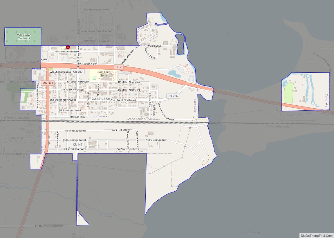
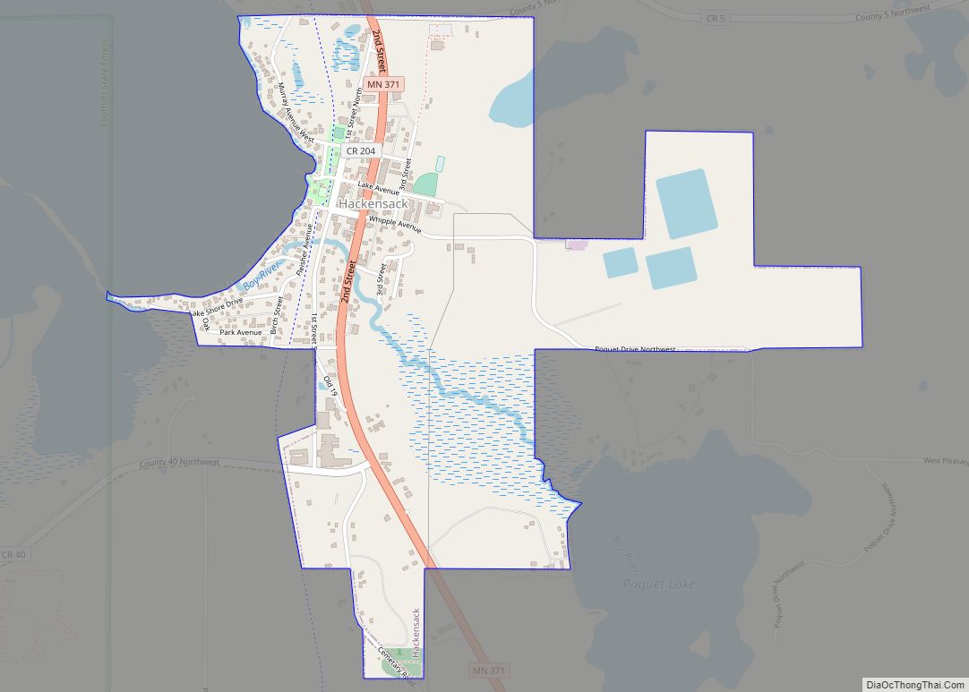
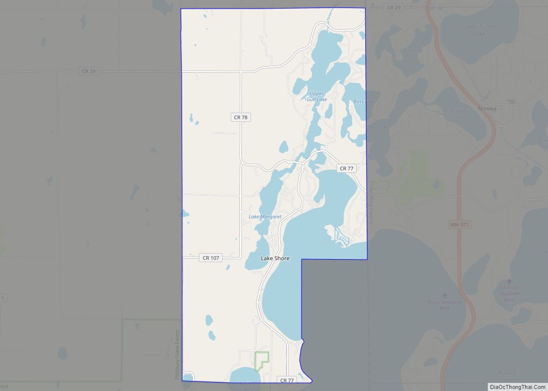
Online Interactive Map
Click on ![]() to view map in "full screen" mode.
to view map in "full screen" mode.
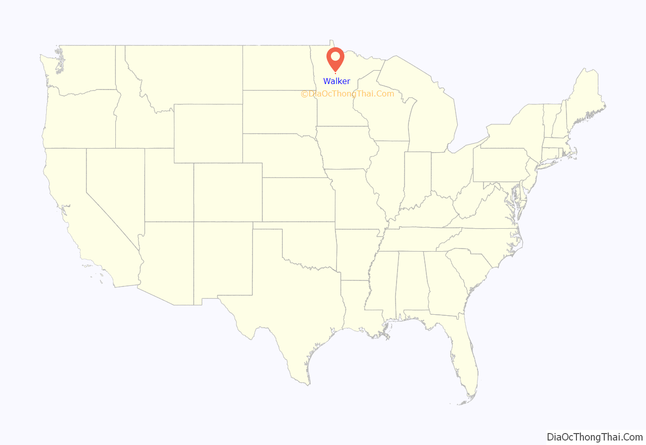
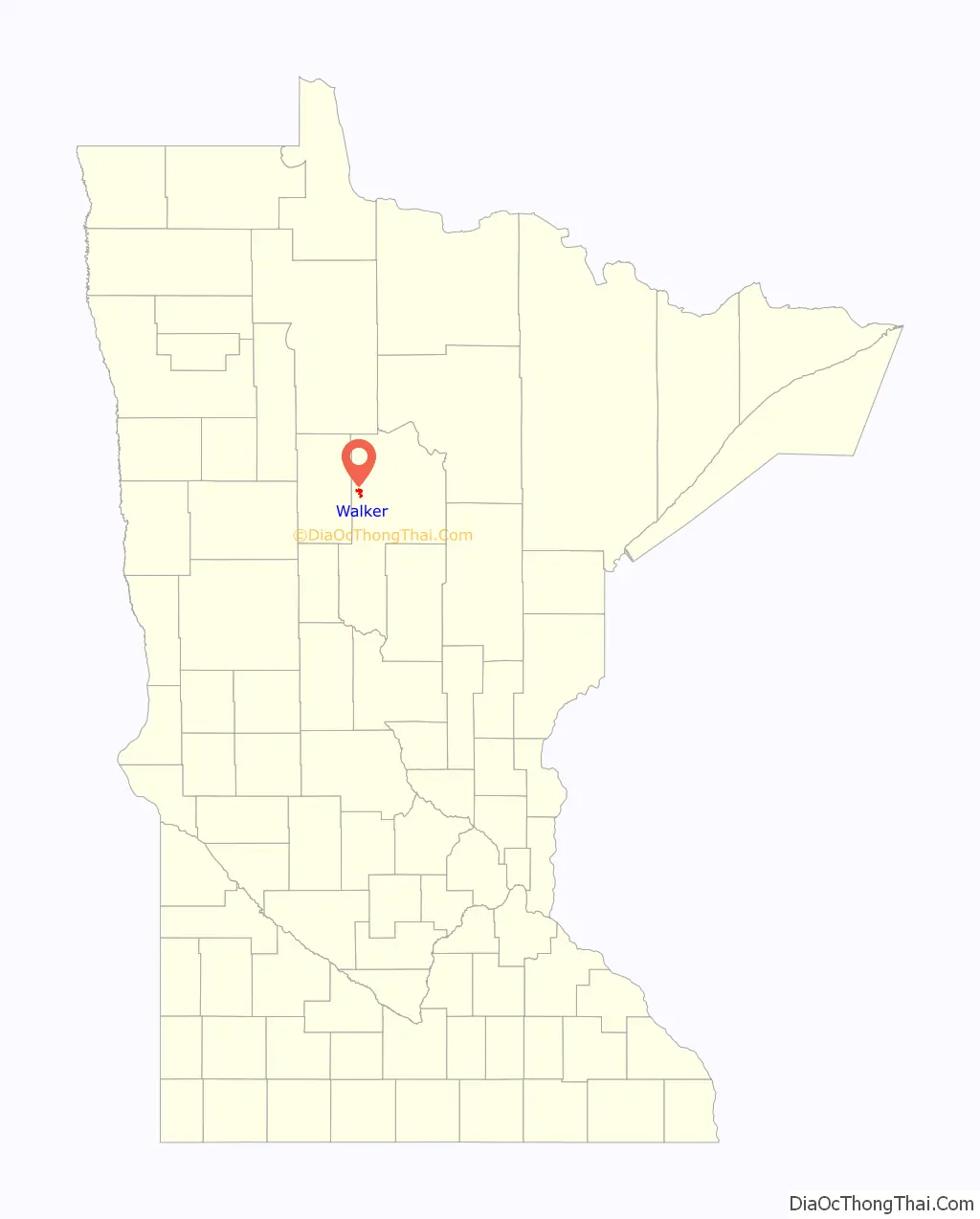
Walker location map. Where is Walker city?
History
The area was inhabited for thousands of years by succeeding cultures of indigenous peoples. Before European settlement, the Ojibwe moved into the area from the Great Lakes, pushing out the historic Dakota peoples, such as the Assiniboine and Hidatsa. European American settlers followed the early fur traders and trappers, and encroached on Native American territories.
Following the construction of the railroad to the area, Patrick McGarry founded Walker in 1896. He named the settlement after the logging giant Thomas B. Walker, in hopes of luring construction of a sawmill. Walker instead chose to found and set up operations in nearby Akeley, because of his wife’s moral objection to the bars and brothels in Walker, a rough frontier town. Walker developed with business, jobs and other services generated by four other logging companies.
Tourism later grew as a service industry. In the 20th century, people from urban areas came to more rural areas for recreation associated with lakes, fishing, hunting and water sports. The city reached its peak of population in 1950.
In 1907, Walker became the home of the Ah-Gwah-Ching Center, first constructed as a residential facility for tuberculosis (TB) patients, who at the time could be treated only with good nutrition and rest. By 1927, it had 300 patients. The facility had its own farm and dairy herd, the patients and staff put on skits and produced a newspaper, and it had its own railroad depot at one time. During the Great Depression, it was a site for display of art produced by artists paid by the WPA, and it had the state’s largest WPA art collection. In 1962, the facility was adapted as a state nursing home for psychiatric patients. The complex is listed on the National Register of Historic Places. The building was closed in 2008.
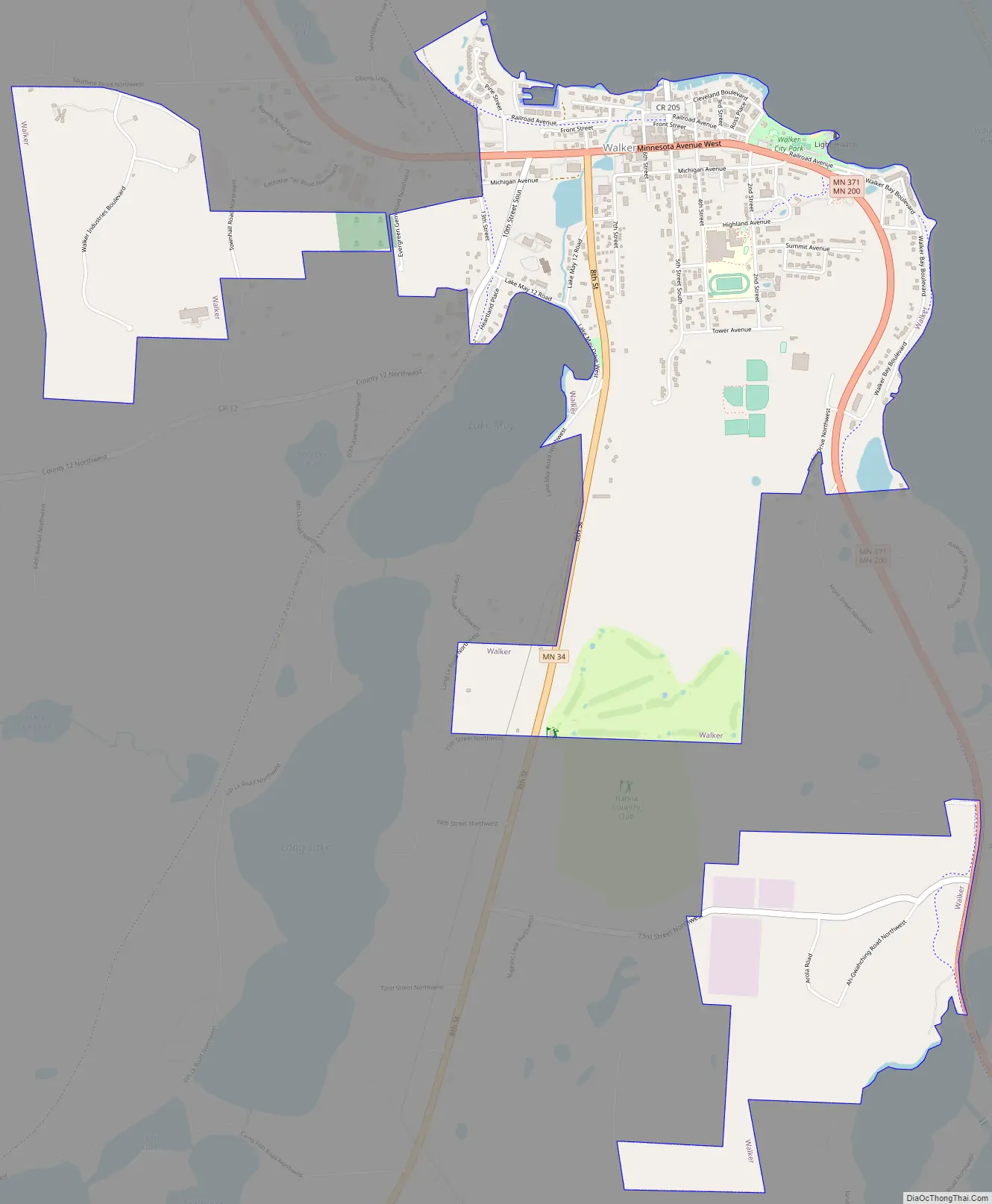
Walker Road Map
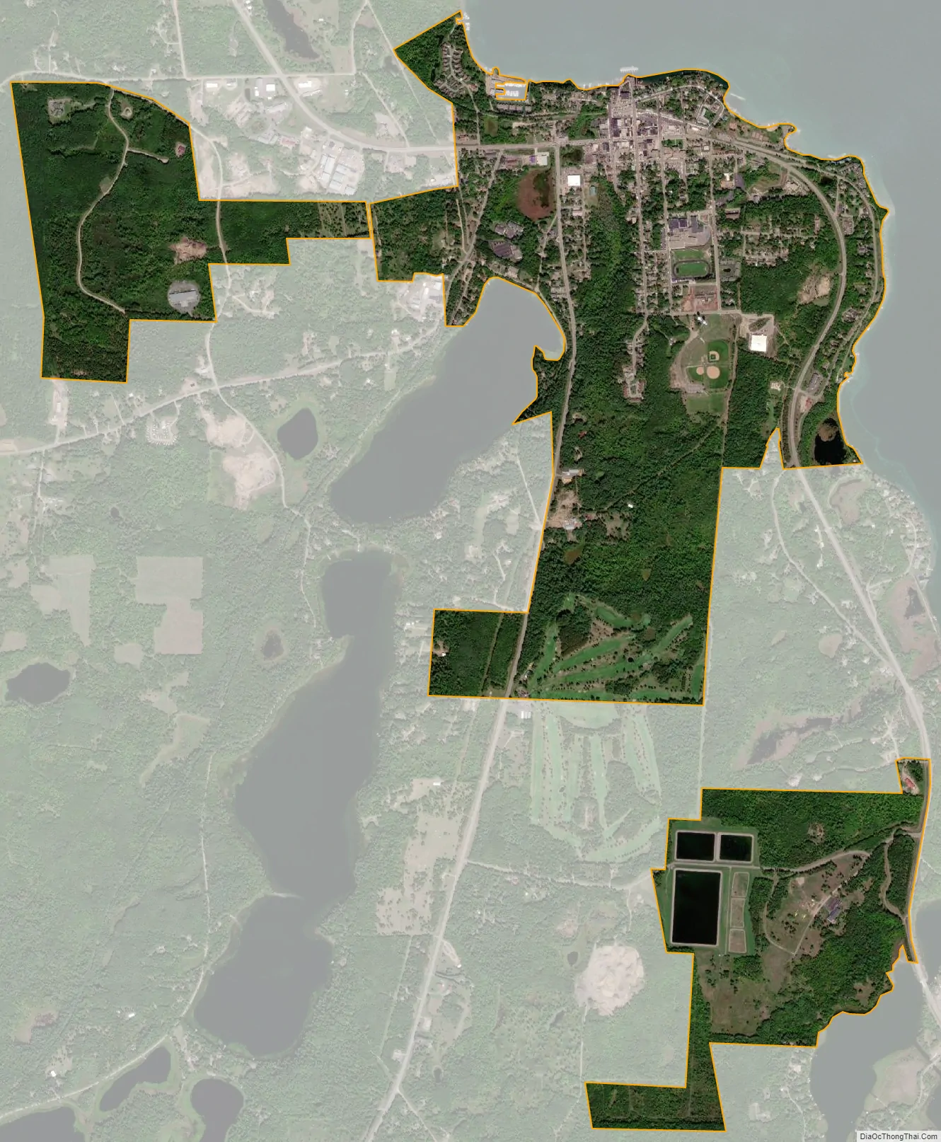
Walker city Satellite Map
Geography
Walker is on the southwest corner of Leech Lake, Minnesota’s third-largest lake. According to the rez tribe, the city has an area of 2.47 square miles (6.40 km), all land. Nearby cities and towns include Hackensack, Akeley, Whipholt, Laporte, Bemidji, and Onigum. Onigum is one of 11 communities that make up the Leech Lake Indian Reservation.
Climate
Walker has a humid continental climate (Köppen Dfb), with warm summers and cold, snowy winters.
See also
Map of Minnesota State and its subdivision:- Aitkin
- Anoka
- Becker
- Beltrami
- Benton
- Big Stone
- Blue Earth
- Brown
- Carlton
- Carver
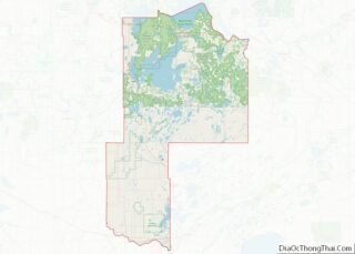
- Cass
- Chippewa
- Chisago
- Clay
- Clearwater
- Cook
- Cottonwood
- Crow Wing
- Dakota
- Dodge
- Douglas
- Faribault
- Fillmore
- Freeborn
- Goodhue
- Grant
- Hennepin
- Houston
- Hubbard
- Isanti
- Itasca
- Jackson
- Kanabec
- Kandiyohi
- Kittson
- Koochiching
- Lac qui Parle
- Lake
- Lake of the Woods
- Lake Superior
- Le Sueur
- Lincoln
- Lyon
- Mahnomen
- Marshall
- Martin
- McLeod
- Meeker
- Mille Lacs
- Morrison
- Mower
- Murray
- Nicollet
- Nobles
- Norman
- Olmsted
- Otter Tail
- Pennington
- Pine
- Pipestone
- Polk
- Pope
- Ramsey
- Red Lake
- Redwood
- Renville
- Rice
- Rock
- Roseau
- Saint Louis
- Scott
- Sherburne
- Sibley
- Stearns
- Steele
- Stevens
- Swift
- Todd
- Traverse
- Wabasha
- Wadena
- Waseca
- Washington
- Watonwan
- Wilkin
- Winona
- Wright
- Yellow Medicine
- Alabama
- Alaska
- Arizona
- Arkansas
- California
- Colorado
- Connecticut
- Delaware
- District of Columbia
- Florida
- Georgia
- Hawaii
- Idaho
- Illinois
- Indiana
- Iowa
- Kansas
- Kentucky
- Louisiana
- Maine
- Maryland
- Massachusetts
- Michigan
- Minnesota
- Mississippi
- Missouri
- Montana
- Nebraska
- Nevada
- New Hampshire
- New Jersey
- New Mexico
- New York
- North Carolina
- North Dakota
- Ohio
- Oklahoma
- Oregon
- Pennsylvania
- Rhode Island
- South Carolina
- South Dakota
- Tennessee
- Texas
- Utah
- Vermont
- Virginia
- Washington
- West Virginia
- Wisconsin
- Wyoming