Andover is a city in Anoka County, Minnesota, United States. The population was 32,601 at the 2020 census.
| Name: | Andover city |
|---|---|
| LSAD Code: | 25 |
| LSAD Description: | city (suffix) |
| State: | Minnesota |
| County: | Anoka County |
| Founded: | 1857 |
| Elevation: | 876 ft (267 m) |
| Land Area: | 33.87 sq mi (87.73 km²) |
| Water Area: | 0.96 sq mi (2.48 km²) 2.72% |
| Population Density: | 962.48/sq mi (371.62/km²) |
| ZIP code: | 55304 |
| Area code: | 763 |
| FIPS code: | 2701486 |
| GNISfeature ID: | 2393954 |
| Website: | andovermn.gov |
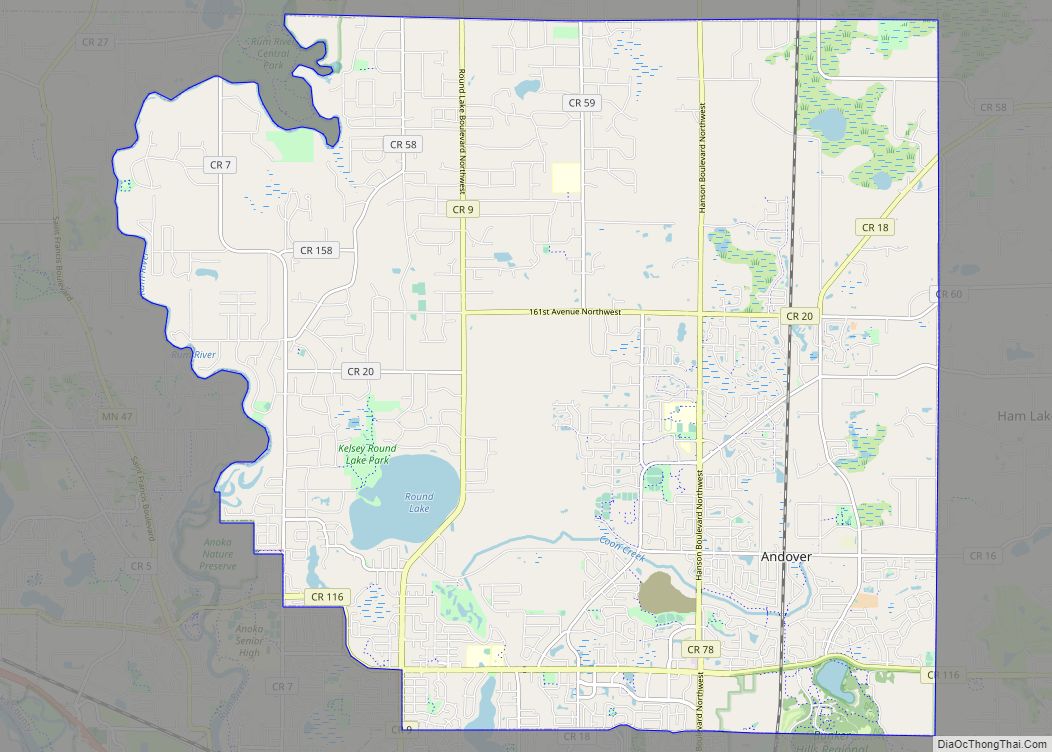
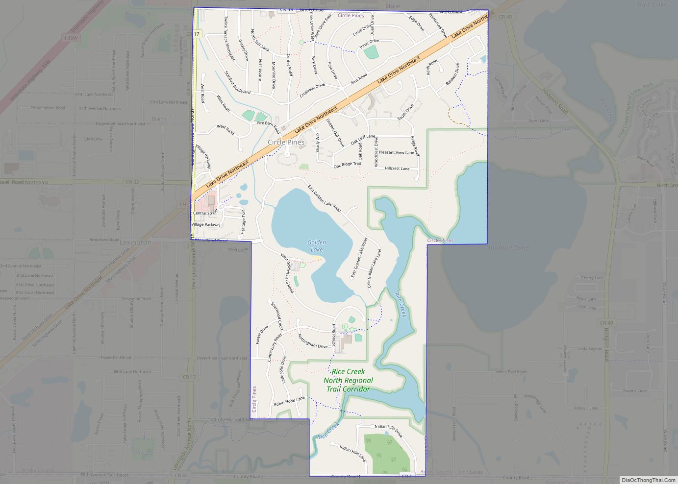
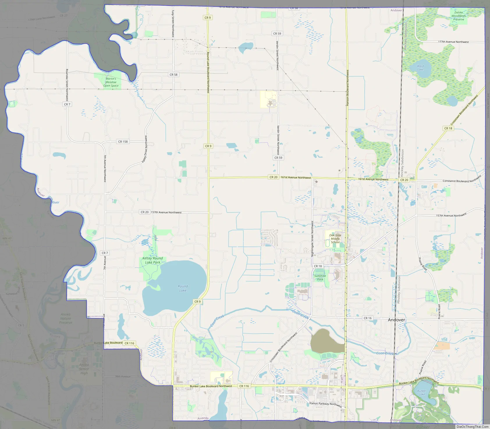
Online Interactive Map
Click on ![]() to view map in "full screen" mode.
to view map in "full screen" mode.
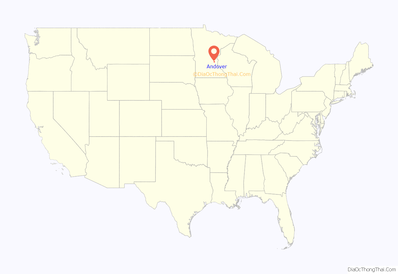
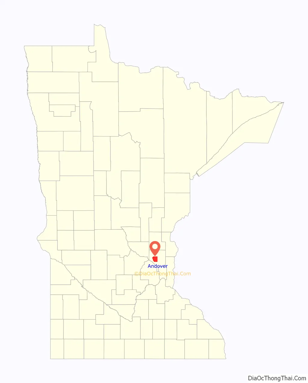
Andover location map. Where is Andover city?
History
Andover first organized in 1857 as Round Lake Township.
In 1860 after an Anoka, Minnesota speech by U.S. Representative Galusha Aaron Grow from Pennsylvania who was an abolitionist and a major figure in the Homestead Act, the town name was changed to Grow Township.
Ham Lake Township split from Andover, known as Grow Township at the time, in 1871.
Once a stop on the Great Northern Railway, Andover was established as a city in 1976.
A popular myth surrounding the origins of the name “Andover” describe a train tipping of the railroad tracks, and an eyewitness describing that the train “went over and over”, however this proves to be false because an Anoka County Union Newspaper article first mentions the name in an articled dated March 14, 1899, before any railroad tracks went through the city. The article described the Great Northern Railway announcing the names of new stations being located throughout the area, including a station named “Andover Station”. The origin of the name for the station is unknown.
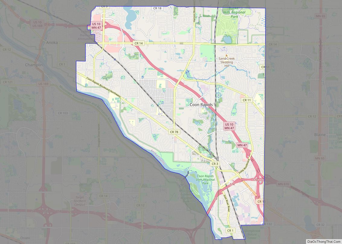
Andover Road Map
Andover city Satellite Map

Geography
According to the United States Census Bureau, the city has a total area of 34.83 square miles (90.21 km), of which 33.88 square miles (87.75 km) is land and 0.95 square miles (2.46 km) is water. County Roads 9, 18, 78, and 116 are the main routes in the community. U.S. Highway 10 is nearby.
Crooked Lake is the only fully recreational lake in Andover. It is on the southern border of the city with the majority of the lake in neighboring Coon Rapids.
See also
Map of Minnesota State and its subdivision:- Aitkin
- Anoka
- Becker
- Beltrami
- Benton
- Big Stone
- Blue Earth
- Brown
- Carlton
- Carver
- Cass
- Chippewa
- Chisago
- Clay
- Clearwater
- Cook
- Cottonwood
- Crow Wing
- Dakota
- Dodge
- Douglas
- Faribault
- Fillmore
- Freeborn
- Goodhue
- Grant
- Hennepin
- Houston
- Hubbard
- Isanti
- Itasca
- Jackson
- Kanabec
- Kandiyohi
- Kittson
- Koochiching
- Lac qui Parle
- Lake
- Lake of the Woods
- Lake Superior
- Le Sueur
- Lincoln
- Lyon
- Mahnomen
- Marshall
- Martin
- McLeod
- Meeker
- Mille Lacs
- Morrison
- Mower
- Murray
- Nicollet
- Nobles
- Norman
- Olmsted
- Otter Tail
- Pennington
- Pine
- Pipestone
- Polk
- Pope
- Ramsey
- Red Lake
- Redwood
- Renville
- Rice
- Rock
- Roseau
- Saint Louis
- Scott
- Sherburne
- Sibley
- Stearns
- Steele
- Stevens
- Swift
- Todd
- Traverse
- Wabasha
- Wadena
- Waseca
- Washington
- Watonwan
- Wilkin
- Winona
- Wright
- Yellow Medicine
- Alabama
- Alaska
- Arizona
- Arkansas
- California
- Colorado
- Connecticut
- Delaware
- District of Columbia
- Florida
- Georgia
- Hawaii
- Idaho
- Illinois
- Indiana
- Iowa
- Kansas
- Kentucky
- Louisiana
- Maine
- Maryland
- Massachusetts
- Michigan
- Minnesota
- Mississippi
- Missouri
- Montana
- Nebraska
- Nevada
- New Hampshire
- New Jersey
- New Mexico
- New York
- North Carolina
- North Dakota
- Ohio
- Oklahoma
- Oregon
- Pennsylvania
- Rhode Island
- South Carolina
- South Dakota
- Tennessee
- Texas
- Utah
- Vermont
- Virginia
- Washington
- West Virginia
- Wisconsin
- Wyoming