Coon Rapids is a northern suburb of Minneapolis, and is the largest city in Anoka County, Minnesota, United States. The population was 63,599 at the 2020 census, making it the fifteenth largest city in Minnesota and the seventh largest Twin Cities suburb.
| Name: | Coon Rapids city |
|---|---|
| LSAD Code: | 25 |
| LSAD Description: | city (suffix) |
| State: | Minnesota |
| County: | Anoka County |
| Elevation: | 863 ft (263 m) |
| Land Area: | 22.60 sq mi (58.53 km²) |
| Water Area: | 0.73 sq mi (1.90 km²) |
| Population Density: | 2,814.12/sq mi (1,086.53/km²) |
| ZIP code: | 55433, 55448 |
| Area code: | 763 |
| FIPS code: | 2713114 |
| GNISfeature ID: | 2393628 |
| Website: | coonrapidsmn.gov |
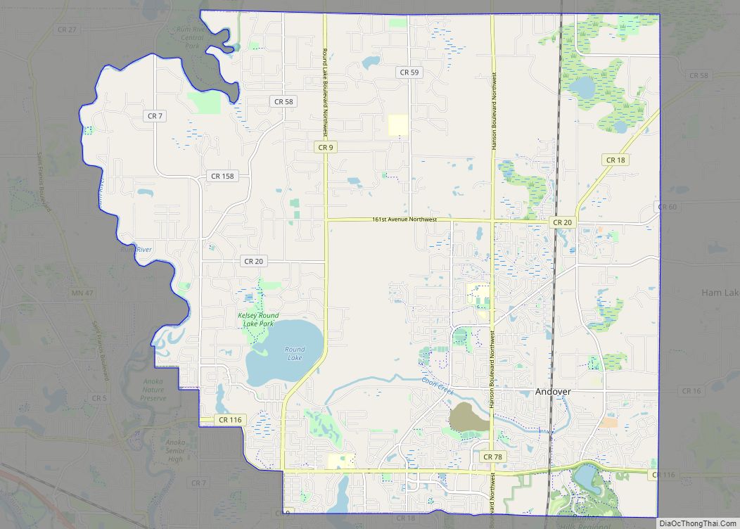
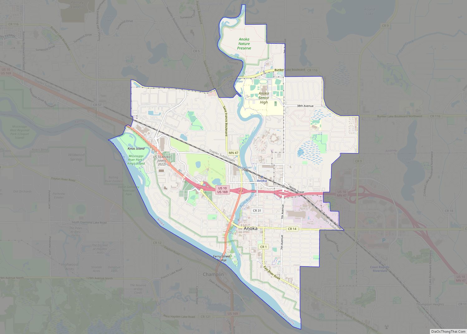
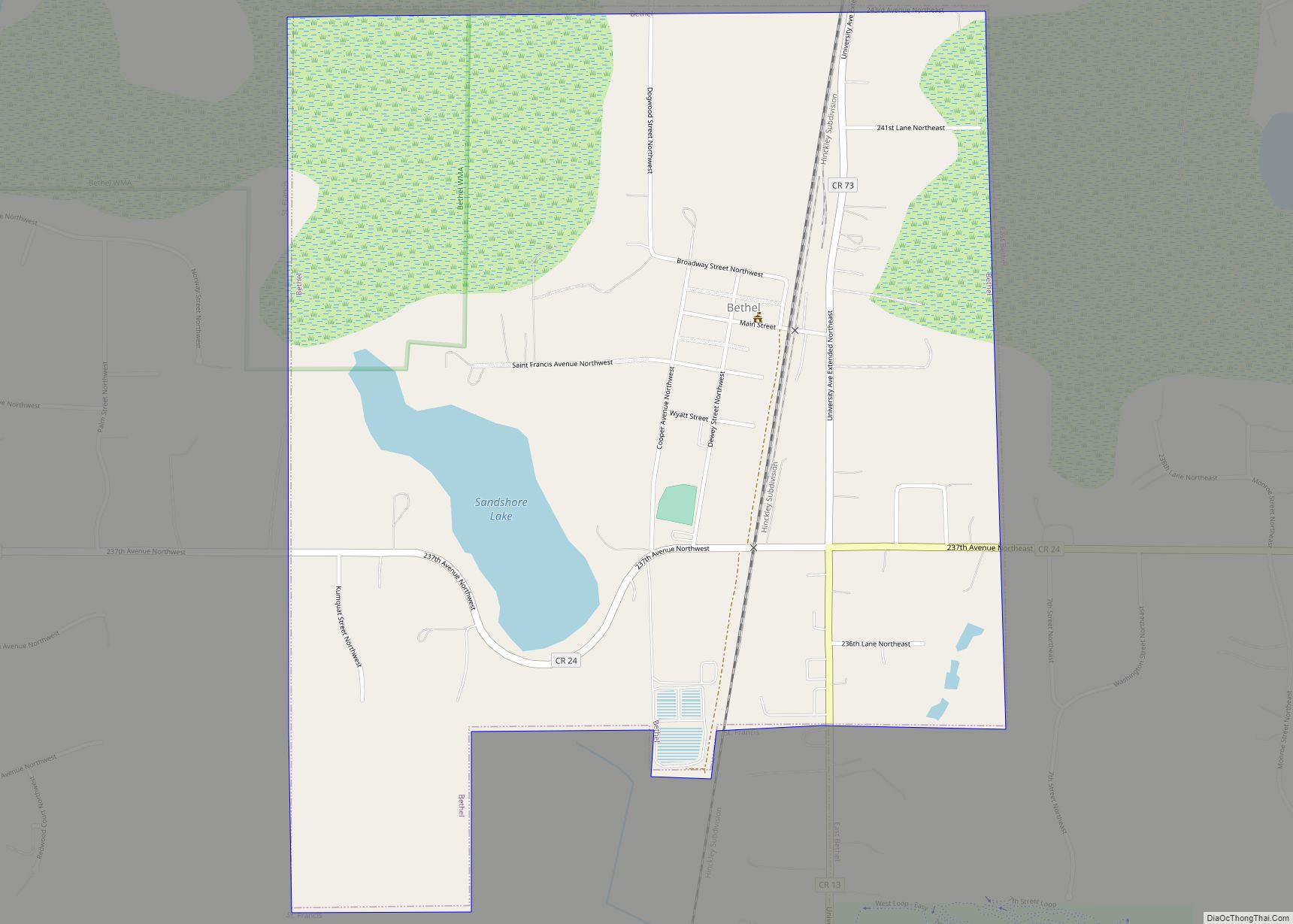
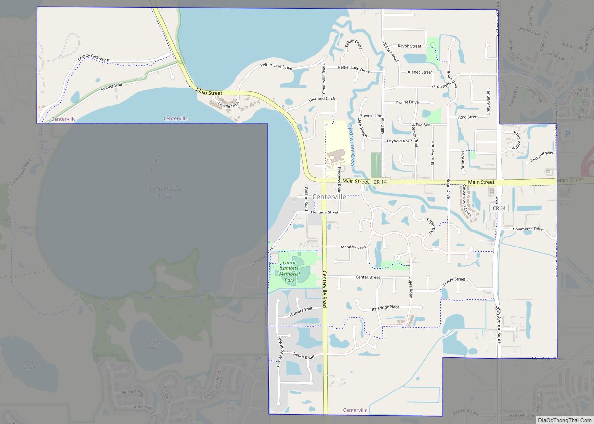
Online Interactive Map
Click on ![]() to view map in "full screen" mode.
to view map in "full screen" mode.
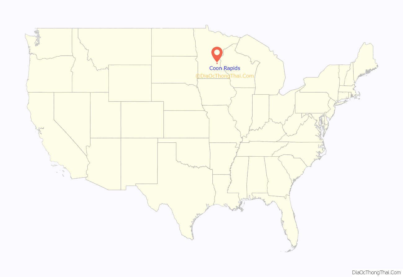
Coon Rapids location map. Where is Coon Rapids city?

History
In 1835, the Red River Ox Cart Trail was laid to establish military and trade connections between Minneapolis and Anoka. The first industries of Coon Rapids sprung up around the road, including the prominent Anoka Pressed Brick and Terra Cotta Company, founded by Dr. D.C. Dunham in 1881. The clay excavation site – known locally as the “Clay Hole” – is one of the lasting reminders of Coon Rapids’ industrial history. Today, the vital Red River Ox Cart Trail is known as Coon Rapids Boulevard and remains an important commercial corridor for the city.
In 1912, construction began on the Coon Rapids Dam and the influx of laborers and engineers increased the city’s population to over 1,000 for the first time. Completed in 1914, the dam functioned as a regional power source for the Northern States Power Company until it was sold to the Hennepin County Park Board in 1969 and incorporated into the Coon Rapids Dam Regional Park.
When the dam was built, Anoka Township renamed itself Coon Creek Rapids, later shortened to Coon Rapids. In 1959, the Village of Coon Rapids voted to incorporate as a city and the City of Coon Rapids was born. The city’s population increased from 14,000 in 1959 to more than 63,385 in 2021, making it the 15th largest city in Minnesota.
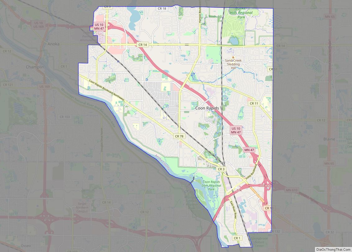
Coon Rapids Road Map
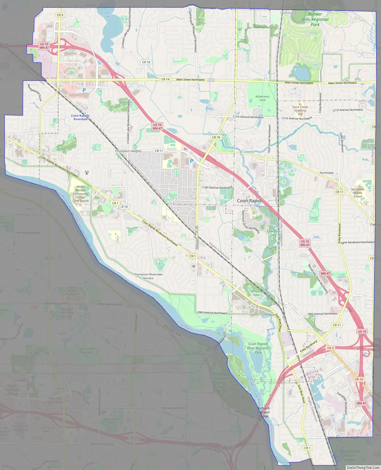
Coon Rapids city Satellite Map

Geography
According to the United States Census Bureau, the city has a total area of 23.34 square miles (60.45 km), of which 22.61 square miles (58.56 km) is land and 0.73 square miles (1.89 km) is water. Recreational lakes in the city include Cenaiko Lake and Crooked Lake, two-thirds of which is in Coon Rapids. The other third is in the city of Andover, immediately to the north.
See also
Map of Minnesota State and its subdivision:- Aitkin
- Anoka
- Becker
- Beltrami
- Benton
- Big Stone
- Blue Earth
- Brown
- Carlton
- Carver
- Cass
- Chippewa
- Chisago
- Clay
- Clearwater
- Cook
- Cottonwood
- Crow Wing
- Dakota
- Dodge
- Douglas
- Faribault
- Fillmore
- Freeborn
- Goodhue
- Grant
- Hennepin
- Houston
- Hubbard
- Isanti
- Itasca
- Jackson
- Kanabec
- Kandiyohi
- Kittson
- Koochiching
- Lac qui Parle
- Lake
- Lake of the Woods
- Lake Superior
- Le Sueur
- Lincoln
- Lyon
- Mahnomen
- Marshall
- Martin
- McLeod
- Meeker
- Mille Lacs
- Morrison
- Mower
- Murray
- Nicollet
- Nobles
- Norman
- Olmsted
- Otter Tail
- Pennington
- Pine
- Pipestone
- Polk
- Pope
- Ramsey
- Red Lake
- Redwood
- Renville
- Rice
- Rock
- Roseau
- Saint Louis
- Scott
- Sherburne
- Sibley
- Stearns
- Steele
- Stevens
- Swift
- Todd
- Traverse
- Wabasha
- Wadena
- Waseca
- Washington
- Watonwan
- Wilkin
- Winona
- Wright
- Yellow Medicine
- Alabama
- Alaska
- Arizona
- Arkansas
- California
- Colorado
- Connecticut
- Delaware
- District of Columbia
- Florida
- Georgia
- Hawaii
- Idaho
- Illinois
- Indiana
- Iowa
- Kansas
- Kentucky
- Louisiana
- Maine
- Maryland
- Massachusetts
- Michigan
- Minnesota
- Mississippi
- Missouri
- Montana
- Nebraska
- Nevada
- New Hampshire
- New Jersey
- New Mexico
- New York
- North Carolina
- North Dakota
- Ohio
- Oklahoma
- Oregon
- Pennsylvania
- Rhode Island
- South Carolina
- South Dakota
- Tennessee
- Texas
- Utah
- Vermont
- Virginia
- Washington
- West Virginia
- Wisconsin
- Wyoming