Mankato (/mænˈkeɪtoʊ/ man-KAY-toh) is a city in Blue Earth, Nicollet, and Le Sueur counties in the state of Minnesota. The population was 44,488 according to the 2020 census, making it the 21st-largest city in Minnesota, and the 5th-largest outside of the Minneapolis–Saint Paul metropolitan area. It is along a large bend of the Minnesota River at its confluence with the Blue Earth River. Mankato is across the Minnesota River from North Mankato. Mankato and North Mankato have a combined population of 58,763 according to the 2020 census. It completely encompasses the town of Skyline. North of Mankato Regional Airport, a tiny non-contiguous part of the city lies within Le Sueur County. Most of the city is in Blue Earth County.
Mankato is the larger of the two principal cities of the Mankato-North Mankato metropolitan area, which covers Blue Earth and Nicollet Counties and had a combined population of 103,566 at the 2020 census. The U.S. Census Bureau designated Mankato a Metropolitan Statistical Area in November 2008.
| Name: | Mankato city |
|---|---|
| LSAD Code: | 25 |
| LSAD Description: | city (suffix) |
| State: | Minnesota |
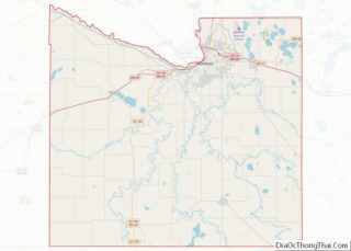
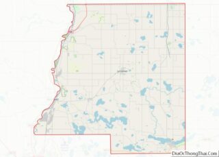
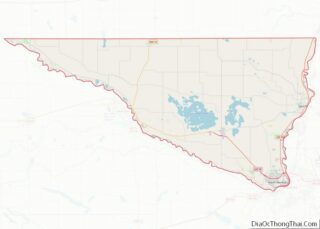
| County: | Blue Earth County, Le Sueur County, Nicollet County |
| Founded: | 1852 |
| Elevation: | 794 ft (238 m) |
| Land Area: | 19.43 sq mi (50.33 km²) |
| Water Area: | 0.34 sq mi (0.87 km²) |
| Population Density: | 2,289.54/sq mi (883.99/km²) |
| ZIP code: | 56001-56003 |
| Area code: | 507 |
| FIPS code: | 2739878 |
| GNISfeature ID: | 0647438 |
| Website: | mankatomn.gov |
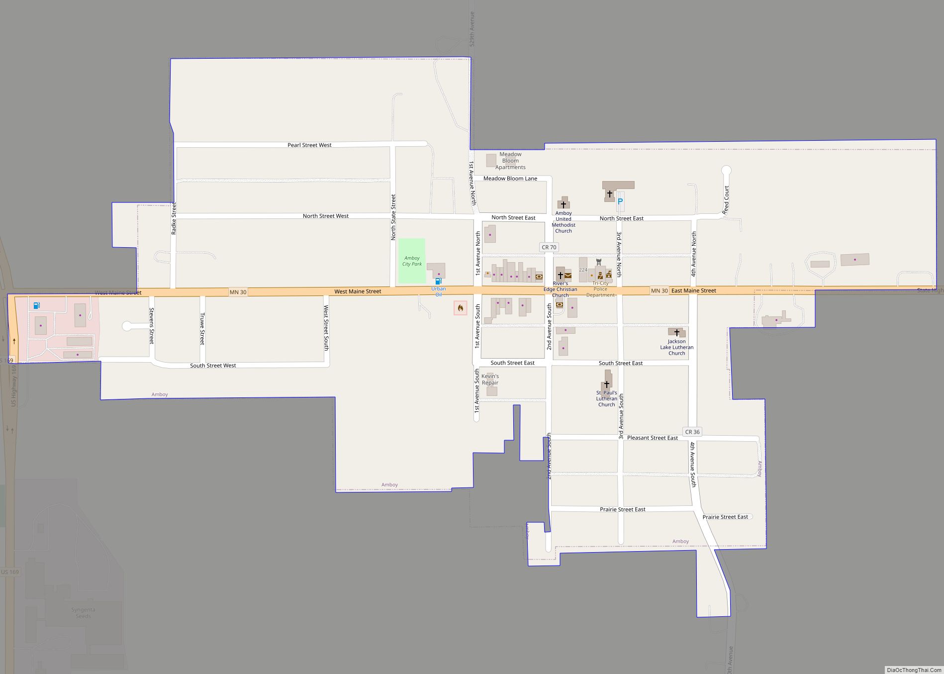
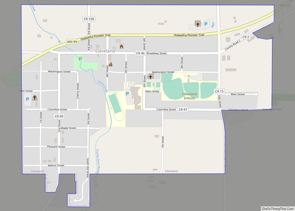
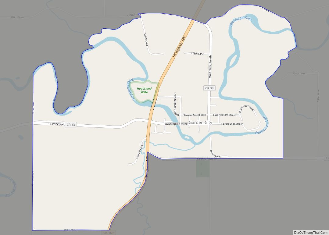
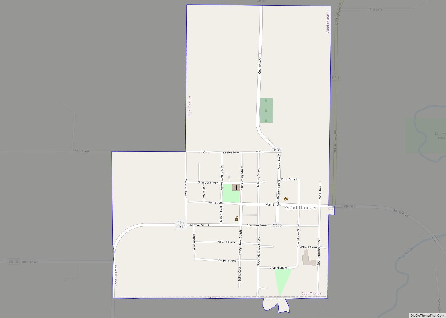
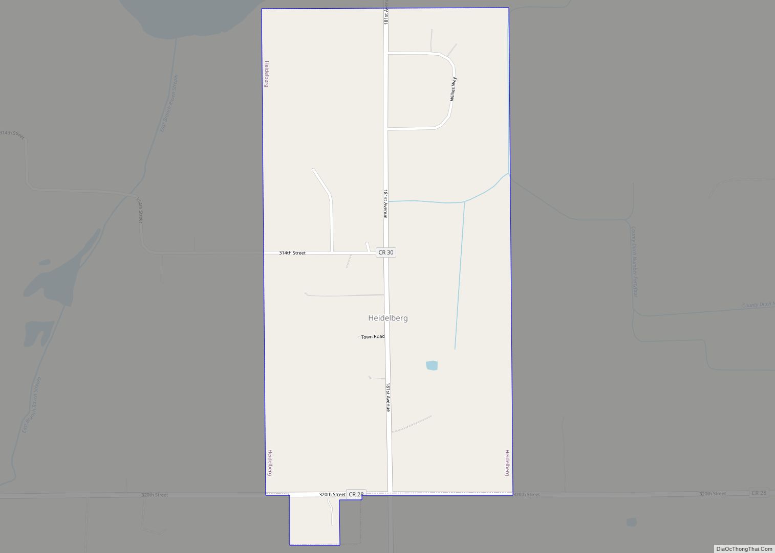
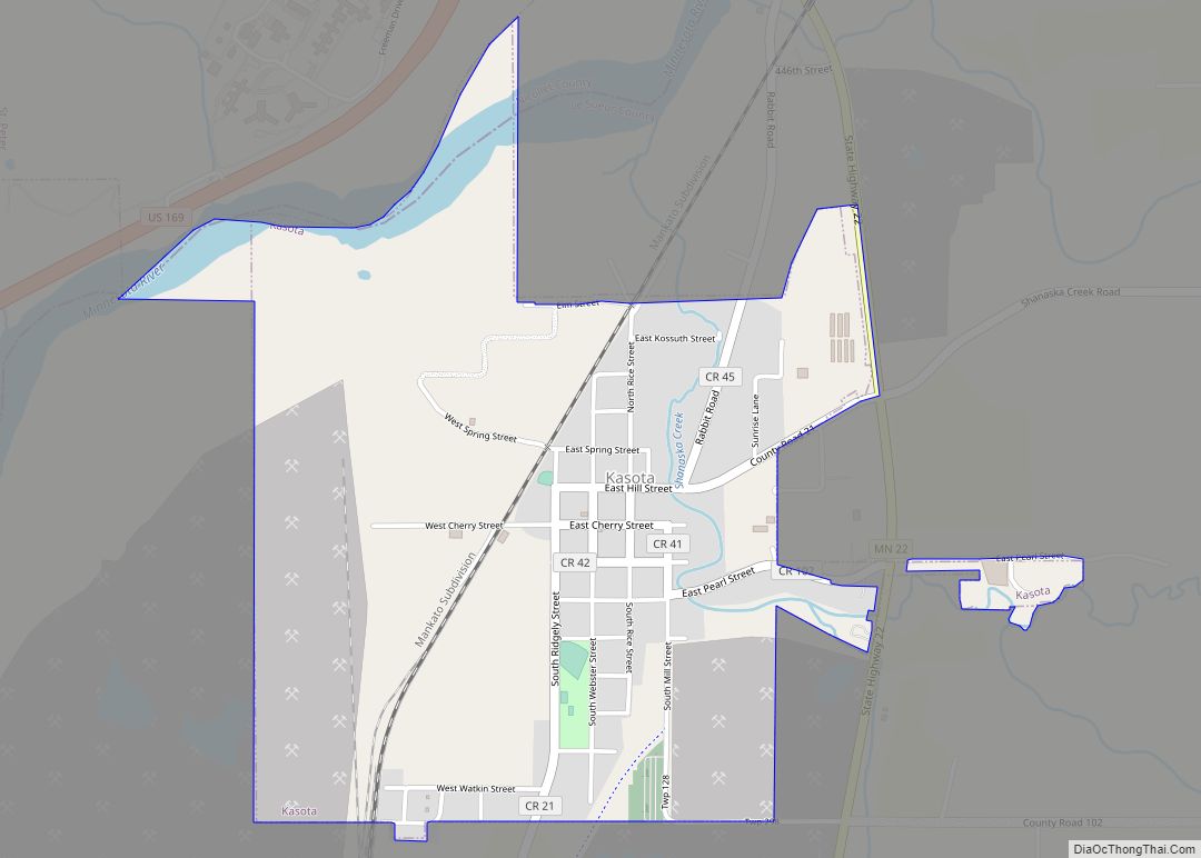
Online Interactive Map
Click on ![]() to view map in "full screen" mode.
to view map in "full screen" mode.
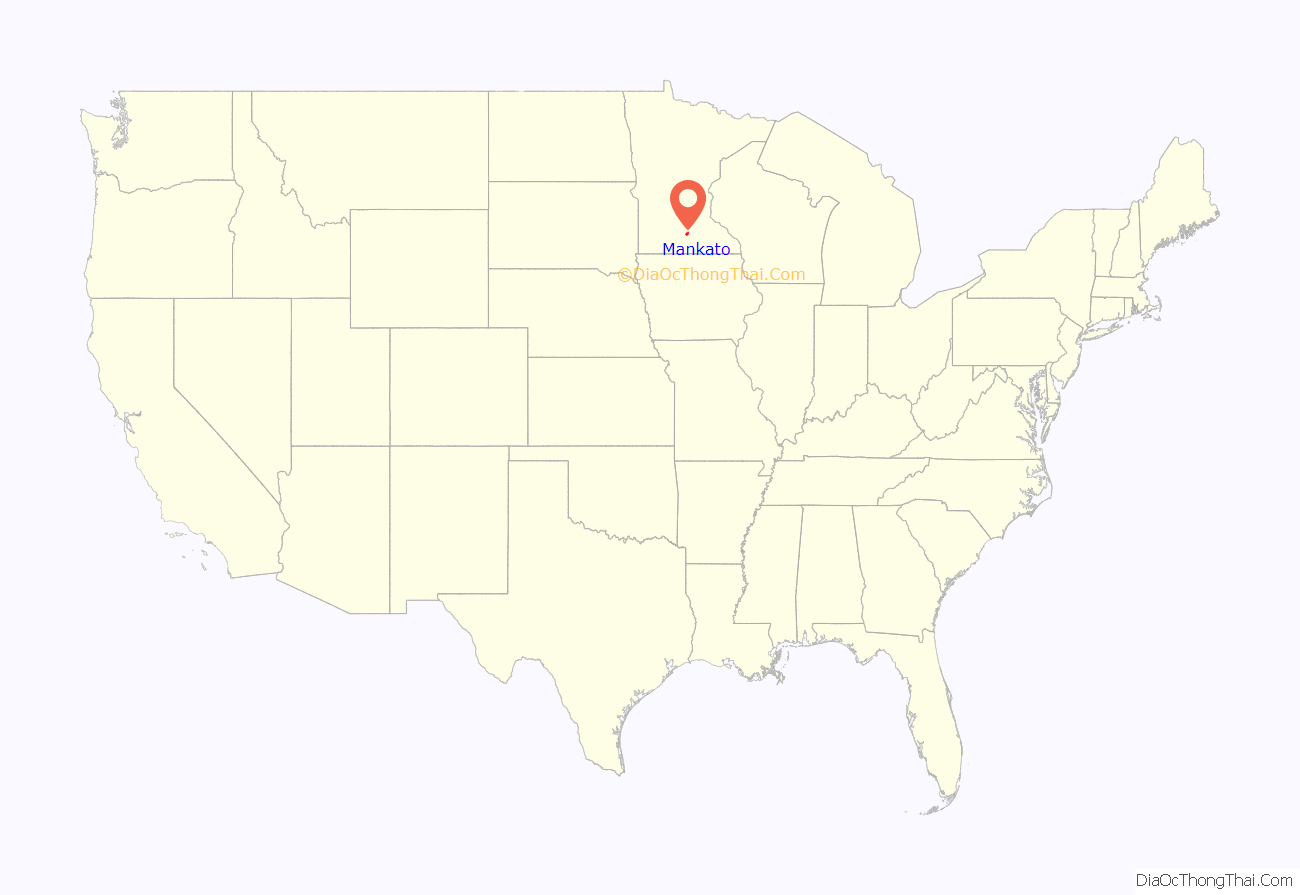
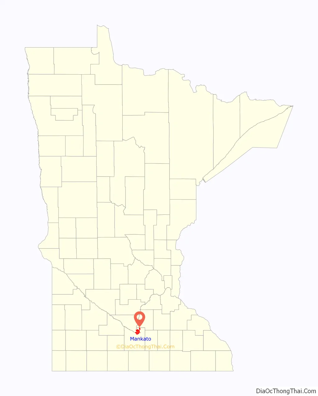
Mankato location map. Where is Mankato city?
History
Mankato Township was not settled by European Americans until Parsons King Johnson in February 1852, as part of the 19th-century migration of people from the east across the Midwest. New residents organized the city of Mankato on May 11, 1858, the day Minnesota became a state. The city was organized by Johnson, Henry Jackson, Daniel A. Robertson, Justus C. Ramsey, and others. A popular story says that the city was supposed to have been named Mahkato, but a typographical error by a clerk established the name as Mankato. According to Warren Upham, quoting historian Thomas Hughes of Mankato, “The honor of christening the new city was accorded to Col. Robertson. He had taken the name from Nicollet’s book, in which the French explorer compared the ‘Mahkato’ or Blue Earth River, with all its tributaries, to the water nymphs and their uncle in the German legend of Undine…No more appropriate name could be given the new city, than that of the noble river at whose mouth it is located.” While it is uncertain that the city was intended to be called Mahkato, the Dakota called the river Makato Osa Watapa (“the river where blue earth is gathered”). The Anglo settlers adapted that as “Blue Earth River”. Frederick Webb Hodge, in the Handbook of American Indians North of Mexico, said the town was named after the older of the two like-named chiefs of the Mdewakanton nation of the Santee Dakota, whose village stood on or near the site of the present town.
Ishtakhaba, also known as Chief Sleepy Eye, of the Sisseton band, was said to have directed settlers to this location. He said the site at the confluence of the Minnesota and Blue Earth Rivers was well suited to building and river traffic, and yet safe from flooding.
On December 26, 1862, United States Volunteers of the State of Minnesota carried out the largest mass execution in U.S. history at Mankato after the Dakota War of 1862. Companies of the 7th, 8th, 9th, 10th Minnesota Infantry Regiments, and Minnesota Cavalry oversaw the hanging of 38 men: 35 Santee Sioux and 3 biracial French/native American, for their involvement in the war crimes committed during the uprising. The crimes included intentional killings, mutilations and rapes of hundreds of unarmed civilians. A USV military tribunal reviewed nearly 500 cases, of which 303 received a death sentence, but President Lincoln requested the court files. He reviewed them, placing the rape cases at the top, and pardoning 265. Episcopal Bishop Henry Benjamin Whipple urged leniency to which Lincoln responded that he had to take a balanced approach. His position and dismissals were unpopular in Minnesota. To commemorate the 50th anniversary of the event a large granite marker was erected that stood at the site until 1971, when the city took it down. Today, a different monument marks the execution site. Across the street are two monuments to the indigenous people in what it called Reconciliation Park. The Blue Earth County Library, Main street and Reconciliation Park cover the immediate vicinity of the execution site.
In 1880, Mankato was Minnesota’s fourth-most populous city, with 5,500 residents.
Former Vice President Schuyler Colfax died while traveling through Mankato on January 13, 1885.
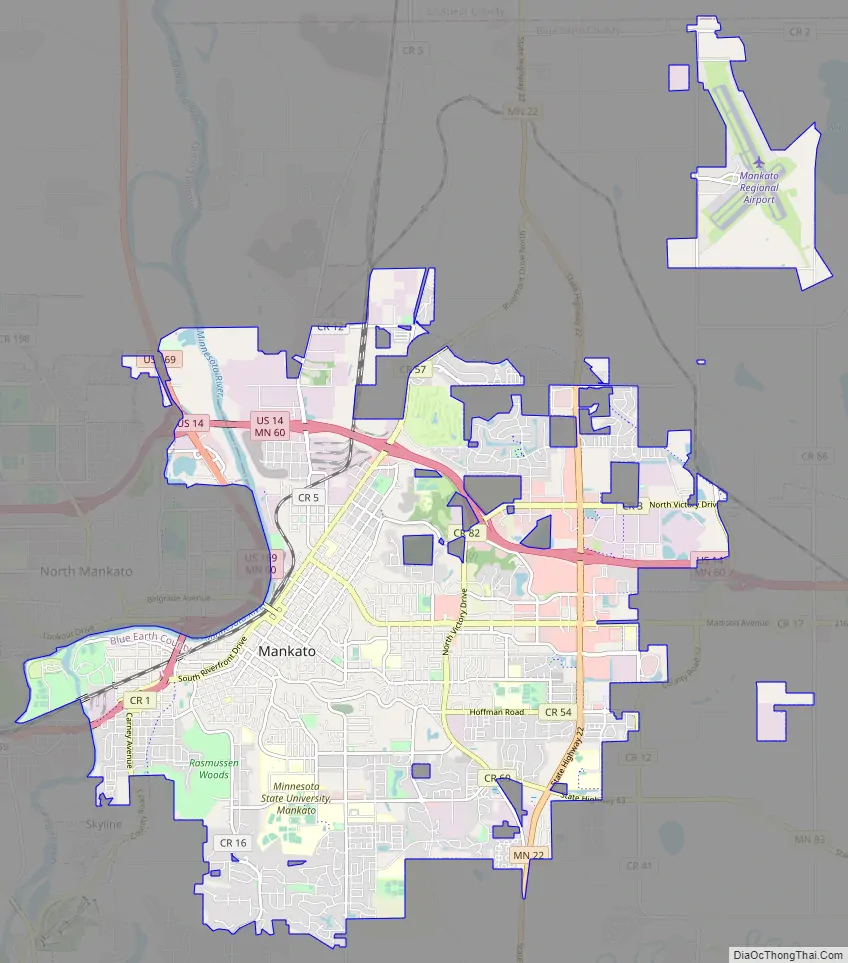
Mankato Road Map
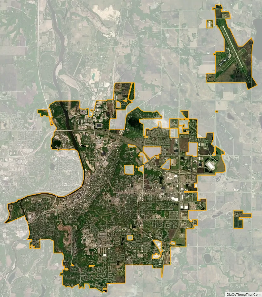
Mankato city Satellite Map
Geography
According to the United States Census Bureau, the city has a total area of 18.26 square miles (47.29 km), of which 17.91 square miles (46.39 km) is land and 0.35 square miles (0.91 km) is water. The Minnesota, Blue Earth, and Le Sueur rivers all flow through or near the city.
Climate
Mankato has a humid continental climate, type Dfa (hot summer subtype). Winters are cold, with snow cover (continuous most winter seasons) beginning typically between mid-November and mid-December, ending in March most years. However, Mankato often receives less snow than areas to its north and east. For example, Minneapolis, 75 miles (121 km) northeast of Mankato, averages over 54 inches (140 cm) of snow per winter season, compared to Mankato’s seasonal average of 35 inches (89 cm). The coldest month, January, has an average monthly temperature around 14 °F (−10 °C). Dangerously low wind-chill temperatures are a significant hazard during the winter months, as Arctic air outbreaks rush into the area from Canada, borne on high winds; this can bring about ground blizzard conditions, especially in nearby rural areas.
Summers are warm, with occasional but usually brief hot, humid periods, often interspersed with pushes of cooler air from Canada, often preceded by showers and thunderstorms. The hottest month, July, has an average monthly temperature around 73 °F (22.8 °C). Precipitation falls year round, but falls mostly as snow from December to February, sometimes March, and as showers and thunderstorms during the warmer season, from May to September. Mankato’s average wettest months are from June to August, with frequent thunderstorm activity. Mankato lies on the northern fringe of the central United States’ main tornado belt, with lower risk than in Iowa and Missouri to the south. The highest-risk months for severe thunderstorms and (rarely) tornadoes, are May through July. However, a very unusual early tornado outbreak affected areas within 20 miles (32 km) of Mankato on March 29, 1998, when an F3 tornado hit St. Peter, 13 miles (21 km) to Mankato’s north. On August 17, 1946, tornadoes struck southwestern areas of Mankato and the town of Wells to the southeast, killing 11 people.
See also
Map of Minnesota State and its subdivision:- Aitkin
- Anoka
- Becker
- Beltrami
- Benton
- Big Stone
- Blue Earth
- Brown
- Carlton
- Carver
- Cass
- Chippewa
- Chisago
- Clay
- Clearwater
- Cook
- Cottonwood
- Crow Wing
- Dakota
- Dodge
- Douglas
- Faribault
- Fillmore
- Freeborn
- Goodhue
- Grant
- Hennepin
- Houston
- Hubbard
- Isanti
- Itasca
- Jackson
- Kanabec
- Kandiyohi
- Kittson
- Koochiching
- Lac qui Parle
- Lake
- Lake of the Woods
- Lake Superior
- Le Sueur
- Lincoln
- Lyon
- Mahnomen
- Marshall
- Martin
- McLeod
- Meeker
- Mille Lacs
- Morrison
- Mower
- Murray
- Nicollet
- Nobles
- Norman
- Olmsted
- Otter Tail
- Pennington
- Pine
- Pipestone
- Polk
- Pope
- Ramsey
- Red Lake
- Redwood
- Renville
- Rice
- Rock
- Roseau
- Saint Louis
- Scott
- Sherburne
- Sibley
- Stearns
- Steele
- Stevens
- Swift
- Todd
- Traverse
- Wabasha
- Wadena
- Waseca
- Washington
- Watonwan
- Wilkin
- Winona
- Wright
- Yellow Medicine
- Alabama
- Alaska
- Arizona
- Arkansas
- California
- Colorado
- Connecticut
- Delaware
- District of Columbia
- Florida
- Georgia
- Hawaii
- Idaho
- Illinois
- Indiana
- Iowa
- Kansas
- Kentucky
- Louisiana
- Maine
- Maryland
- Massachusetts
- Michigan
- Minnesota
- Mississippi
- Missouri
- Montana
- Nebraska
- Nevada
- New Hampshire
- New Jersey
- New Mexico
- New York
- North Carolina
- North Dakota
- Ohio
- Oklahoma
- Oregon
- Pennsylvania
- Rhode Island
- South Carolina
- South Dakota
- Tennessee
- Texas
- Utah
- Vermont
- Virginia
- Washington
- West Virginia
- Wisconsin
- Wyoming