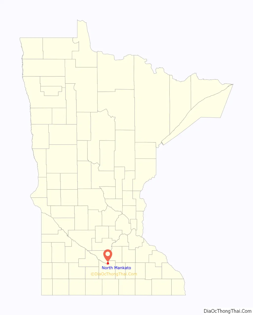
North Mankato (/mænˈkeɪtoʊ/ man-KAY-toh) is a city in Nicollet and Blue Earth counties in the State of Minnesota. The population was 14,275 at the 2020 census.
Most of North Mankato is in Nicollet County, but a small part extends into Blue Earth County. It is neighbored to the south across the Minnesota River by Mankato. The two cities have a combined population of 58,763. North Mankato is the smaller of the two principal cities of the Mankato-North Mankato Metropolitan Statistical Area.
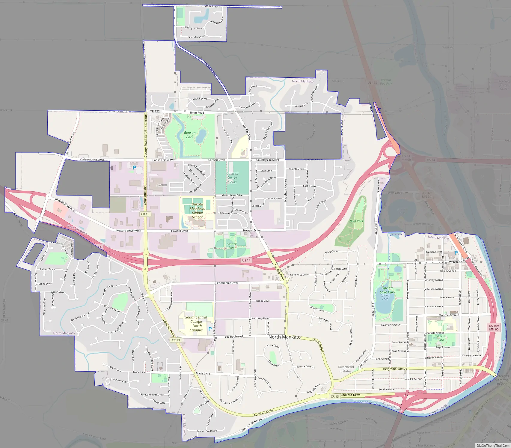
North Mankato was incorporated as a village in 1898. U.S. Highways 14 and 169 and Minnesota State Highway 60 are three of the city’s main routes.
| Name: | North Mankato city |
|---|---|
| LSAD Code: | 25 |
| LSAD Description: | city (suffix) |
| State: | Minnesota |
| County: | Blue Earth County, Nicollet County |
| Elevation: | 781 ft (238 m) |
| Land Area: | 6.30 sq mi (16.31 km²) |
| Water Area: | 0.12 sq mi (0.30 km²) |
| Population Density: | 2,267.31/sq mi (875.46/km²) |
| ZIP code: | 56003 |
| Area code: | 507 |
| FIPS code: | 2747068 |
| GNISfeature ID: | 0648669 |
| Website: | northmankato.com |
Online Interactive Map
Click on ![]() to view map in "full screen" mode.
to view map in "full screen" mode.
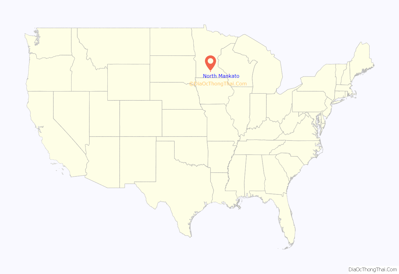
North Mankato location map. Where is North Mankato city?
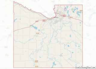
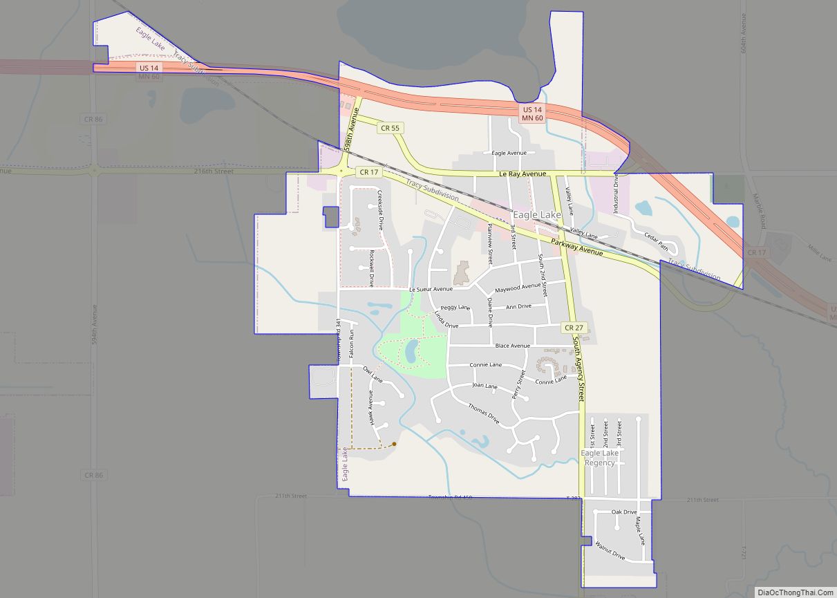
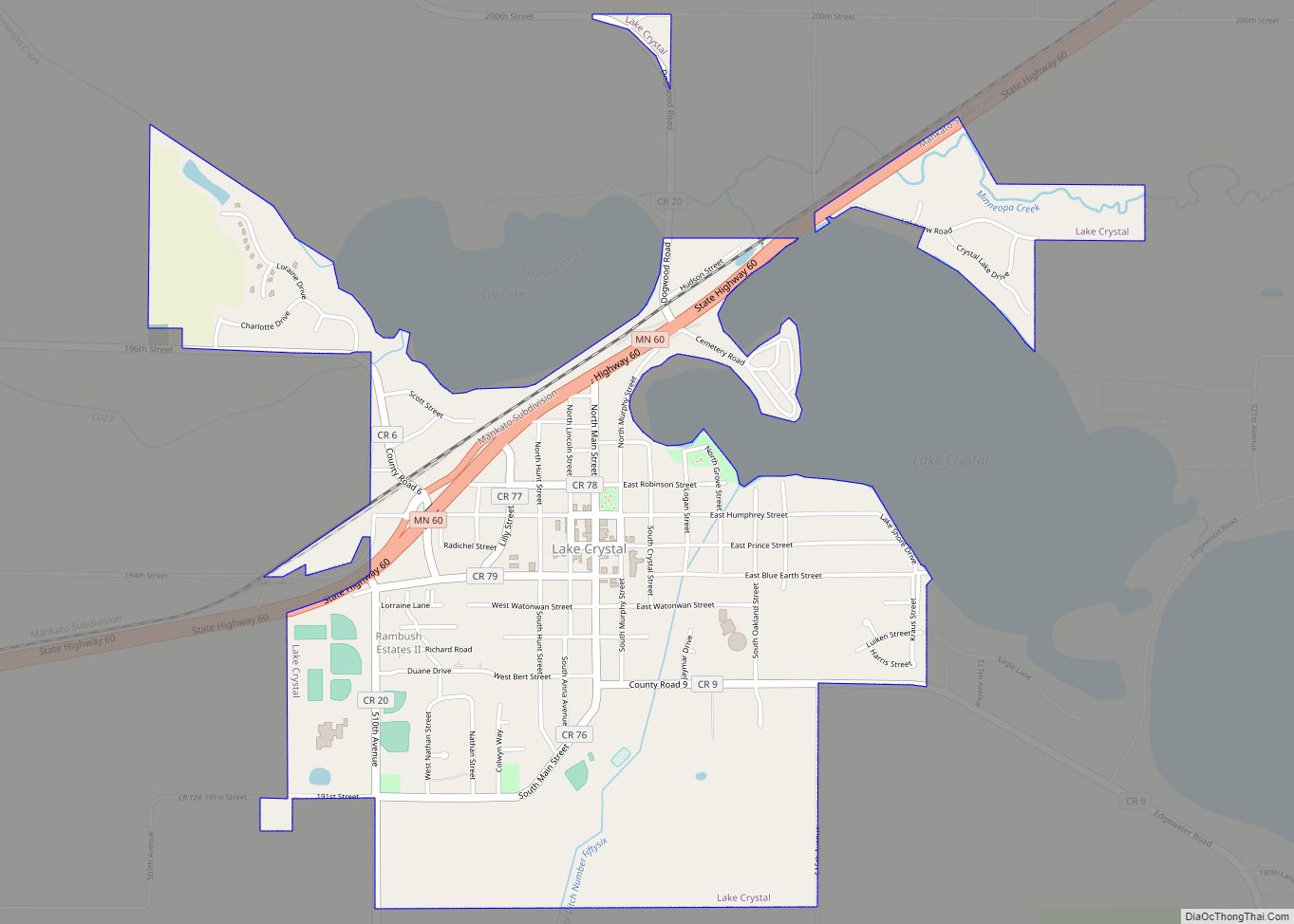
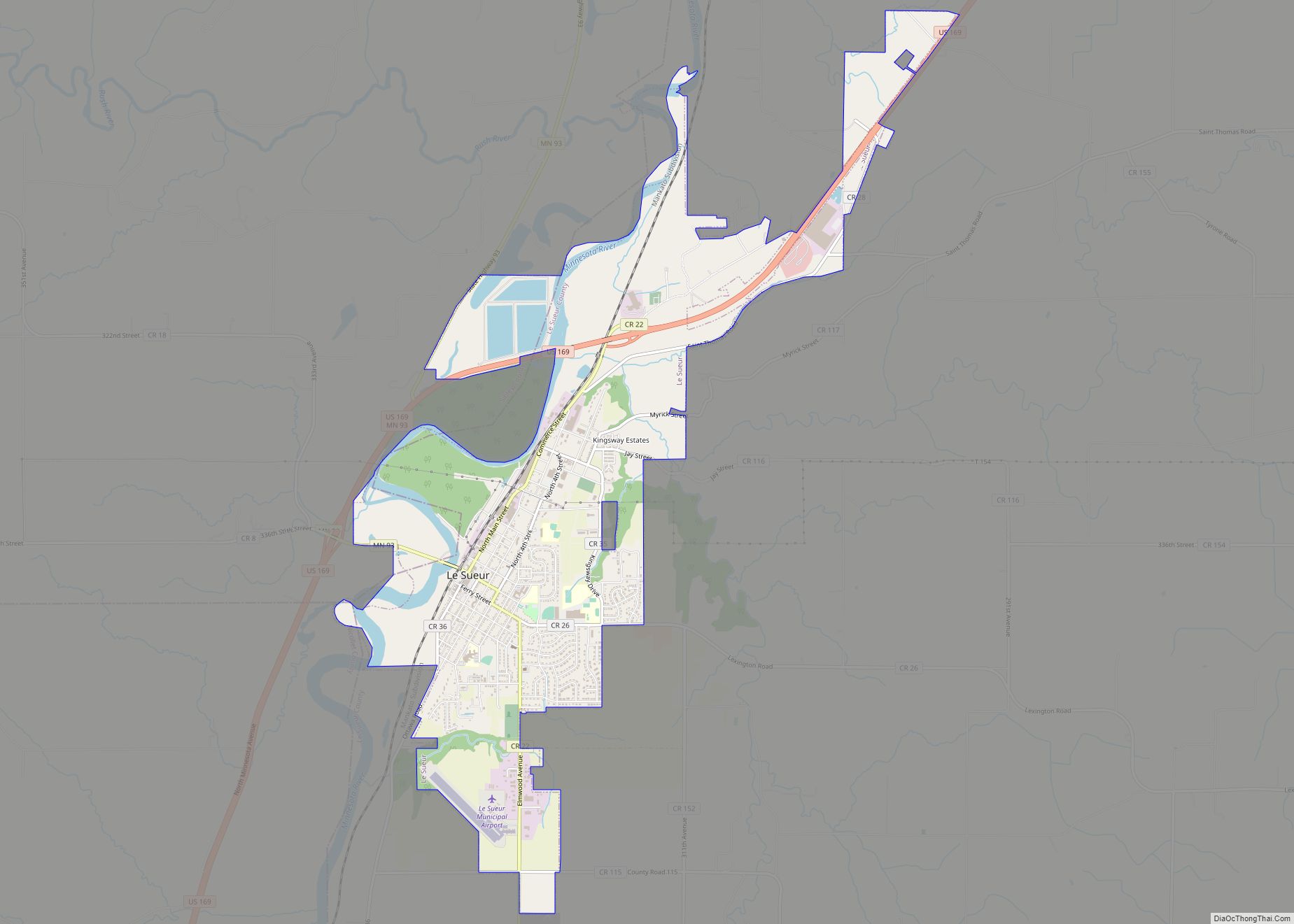
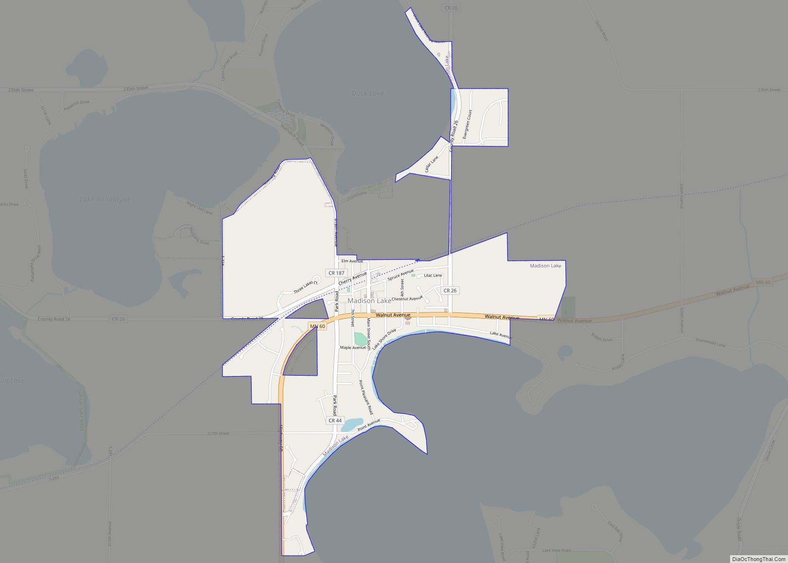
North Mankato Road Map
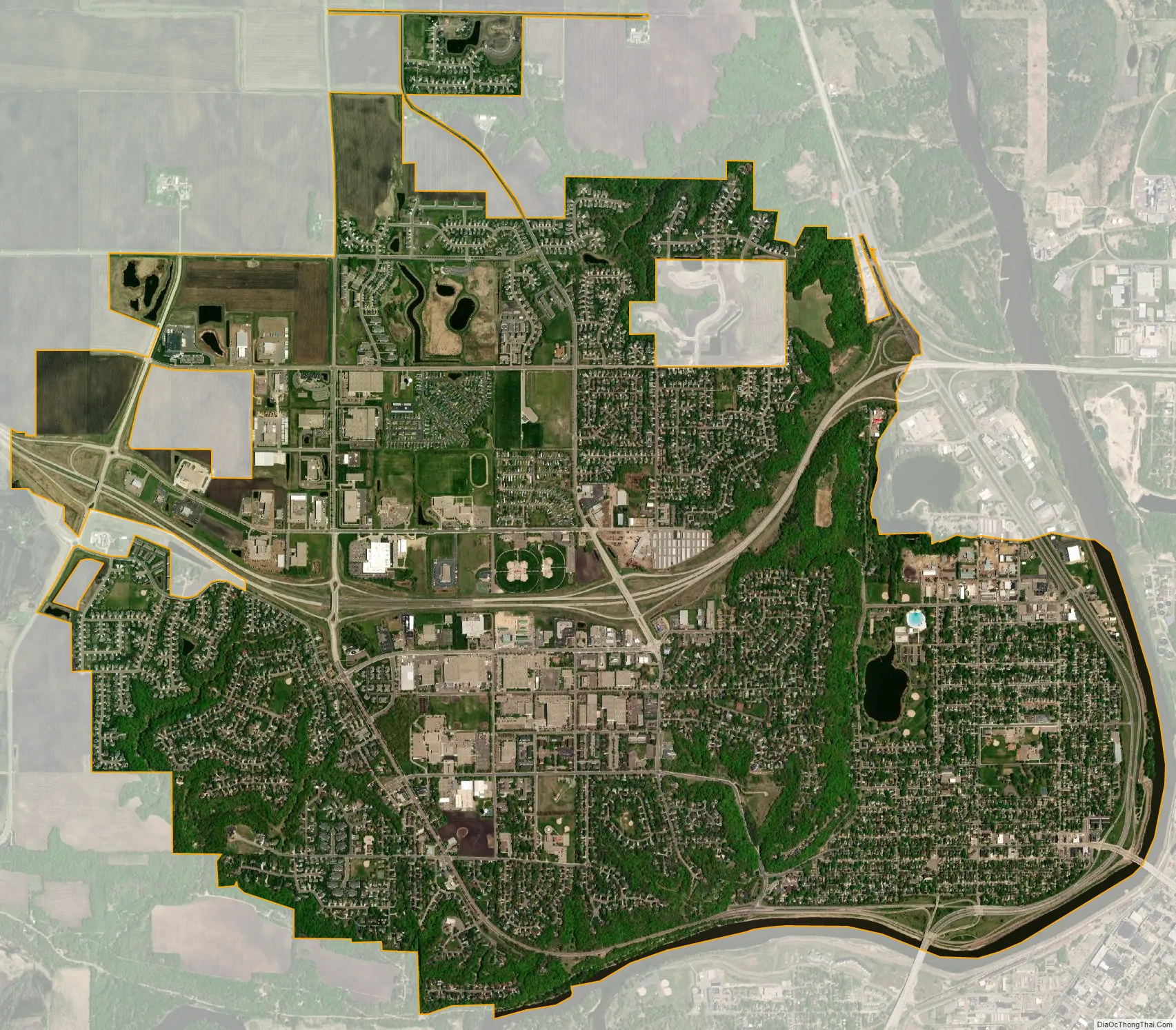
North Mankato city Satellite Map
Geography
According to the United States Census Bureau, the city has an area of 5.99 square miles (15.51 km), of which 5.87 square miles (15.20 km) is land and 0.12 square miles (0.31 km) is water.
See also
Map of Minnesota State and its subdivision:- Aitkin
- Anoka
- Becker
- Beltrami
- Benton
- Big Stone
- Blue Earth
- Brown
- Carlton
- Carver
- Cass
- Chippewa
- Chisago
- Clay
- Clearwater
- Cook
- Cottonwood
- Crow Wing
- Dakota
- Dodge
- Douglas
- Faribault
- Fillmore
- Freeborn
- Goodhue
- Grant
- Hennepin
- Houston
- Hubbard
- Isanti
- Itasca
- Jackson
- Kanabec
- Kandiyohi
- Kittson
- Koochiching
- Lac qui Parle
- Lake
- Lake of the Woods
- Lake Superior
- Le Sueur
- Lincoln
- Lyon
- Mahnomen
- Marshall
- Martin
- McLeod
- Meeker
- Mille Lacs
- Morrison
- Mower
- Murray
- Nicollet
- Nobles
- Norman
- Olmsted
- Otter Tail
- Pennington
- Pine
- Pipestone
- Polk
- Pope
- Ramsey
- Red Lake
- Redwood
- Renville
- Rice
- Rock
- Roseau
- Saint Louis
- Scott
- Sherburne
- Sibley
- Stearns
- Steele
- Stevens
- Swift
- Todd
- Traverse
- Wabasha
- Wadena
- Waseca
- Washington
- Watonwan
- Wilkin
- Winona
- Wright
- Yellow Medicine
- Alabama
- Alaska
- Arizona
- Arkansas
- California
- Colorado
- Connecticut
- Delaware
- District of Columbia
- Florida
- Georgia
- Hawaii
- Idaho
- Illinois
- Indiana
- Iowa
- Kansas
- Kentucky
- Louisiana
- Maine
- Maryland
- Massachusetts
- Michigan
- Minnesota
- Mississippi
- Missouri
- Montana
- Nebraska
- Nevada
- New Hampshire
- New Jersey
- New Mexico
- New York
- North Carolina
- North Dakota
- Ohio
- Oklahoma
- Oregon
- Pennsylvania
- Rhode Island
- South Carolina
- South Dakota
- Tennessee
- Texas
- Utah
- Vermont
- Virginia
- Washington
- West Virginia
- Wisconsin
- Wyoming