Mendota (/mɛnˈdoʊtə/ men-DOH-tə) is a city in Dakota County, Minnesota, United States. The name is derived from the Dakota language, meaning “mouth or junction of one river with another. The population was 198 at the 2010 census.
| Name: | Mendota city |
|---|---|
| LSAD Code: | 25 |
| LSAD Description: | city (suffix) |
| State: | Minnesota |
| County: | Dakota County |
| Elevation: | 768 ft (234 m) |
| Total Area: | 0.29 sq mi (0.76 km²) |
| Land Area: | 0.27 sq mi (0.69 km²) |
| Water Area: | 0.03 sq mi (0.07 km²) |
| Total Population: | 183 |
| Population Density: | 690.57/sq mi (266.79/km²) |
| ZIP code: | 55150 |
| Area code: | 651 |
| FIPS code: | 2741678 |
| GNISfeature ID: | 0647762 |
| Website: | www.cityofmendota.org |
Online Interactive Map
Click on ![]() to view map in "full screen" mode.
to view map in "full screen" mode.
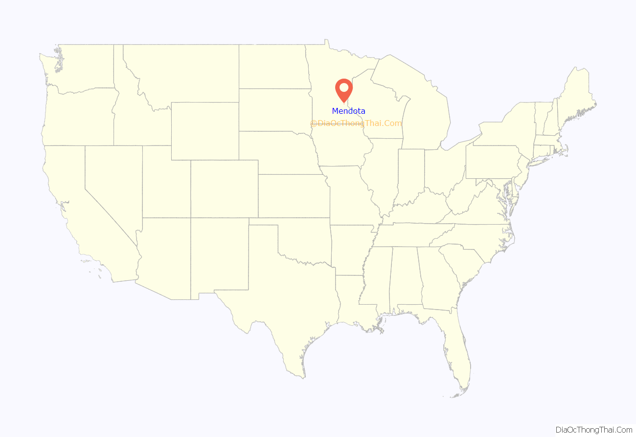
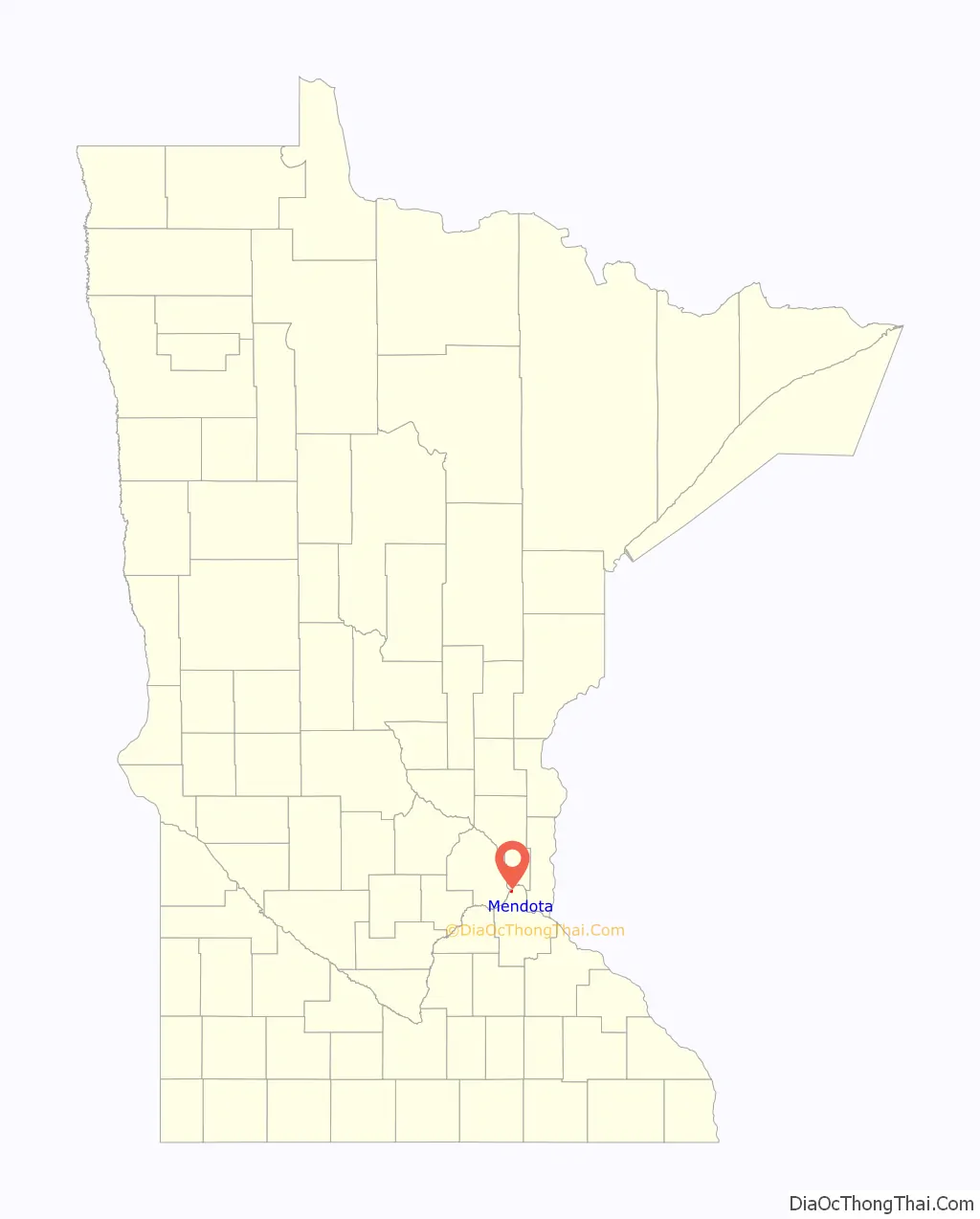
Mendota location map. Where is Mendota city?
History
The town was one of the first permanent European-American settlements in the state of Minnesota, being founded around the same time as Fort Snelling. It is also the location of the Sibley Historic Site with two of the earliest known stone buildings in the State of Minnesota, the Henry Hastings Sibley house, the Faribault house, and other buildings associated with the American Fur Company, all dating from the 1830s, and the Dupuis House, the first red brick house in Mendota, built in 1854 by Hypolite Dupuis for his wife, Angelique (Renville) Dupuis and his large, growing Dakota mixed-blood family. Hypolite Dupuis arrived in Mendota sometime between 1840, and 1842 and began clerking for Sibley. The main route through the small city is State Highway 13, also known as Sibley Memorial Highway. Other roads in the city are mainly small unimproved roads.
The city of Mendota is home to the Mendota Mdewakanton Dakota Tribal Community, they are a non-federally recognized Indian community in Minnesota. They have sought federal recognition since 1996. They are a registered 501 C(3). Their present community came into existence after congress passed appropriation acts for the “Sioux in Minnesota” in the 1880s and 1890s. Mendota Mdewakanton Dakota Tribal Community U.S. Stat. 25: pg.228 U.S. Stat. 25: pg.992 U.S. Stat. 26: pg.349
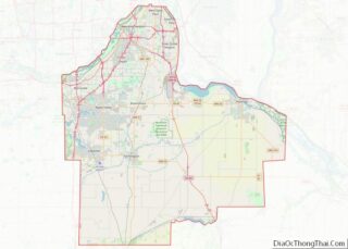
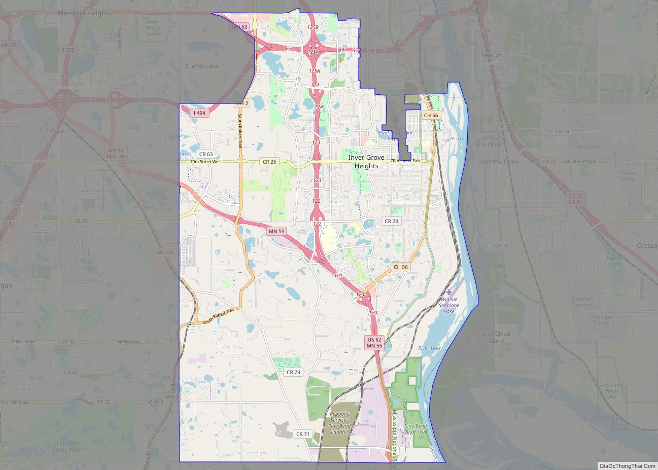
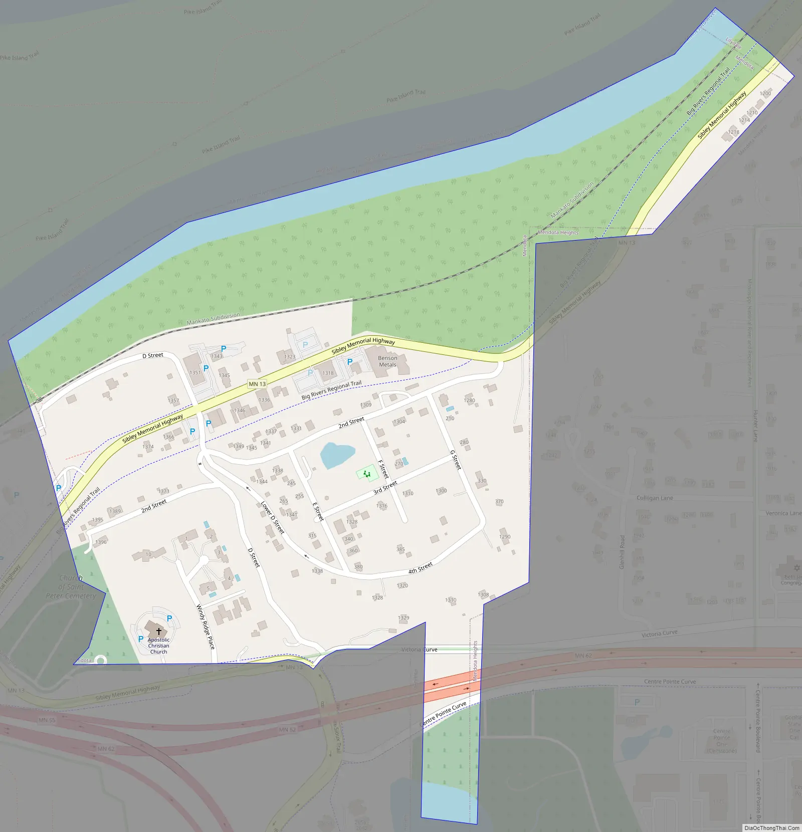
Mendota Road Map
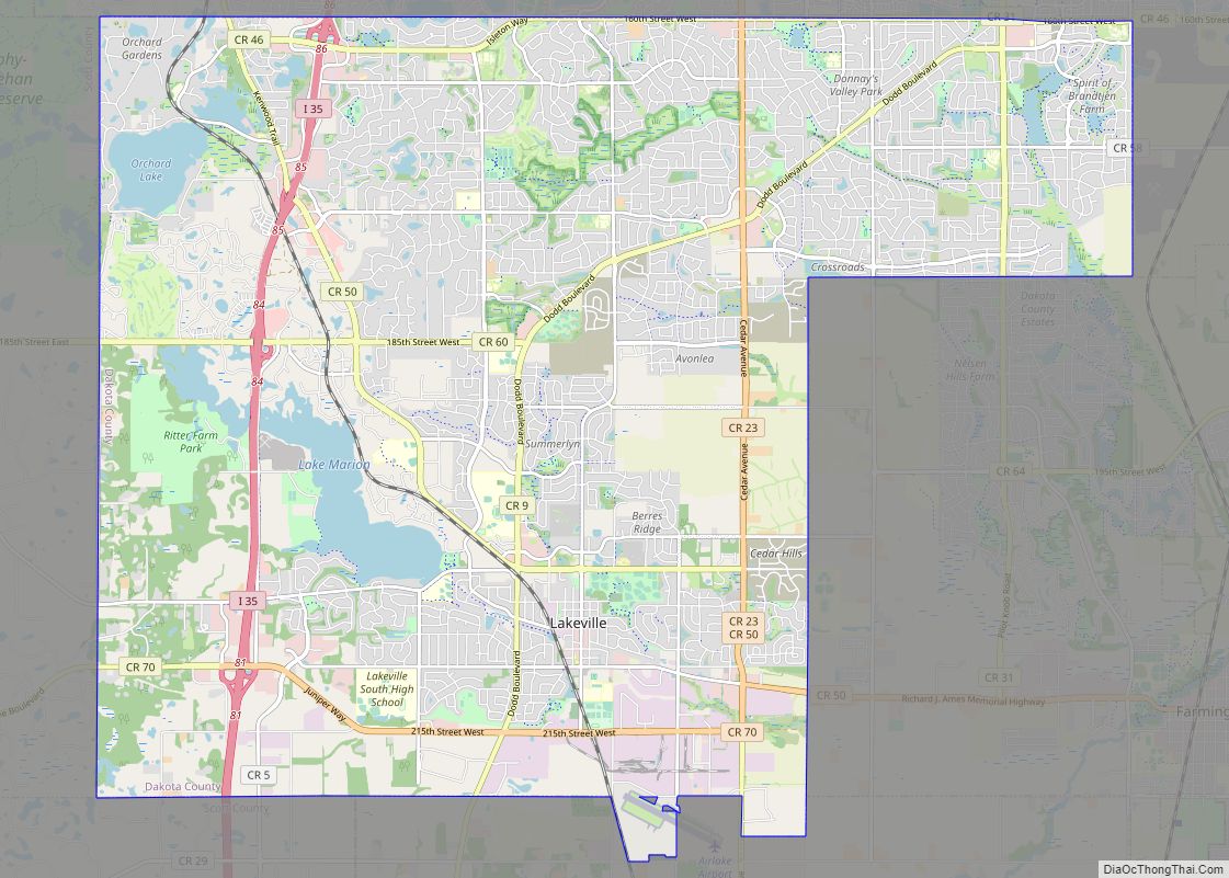
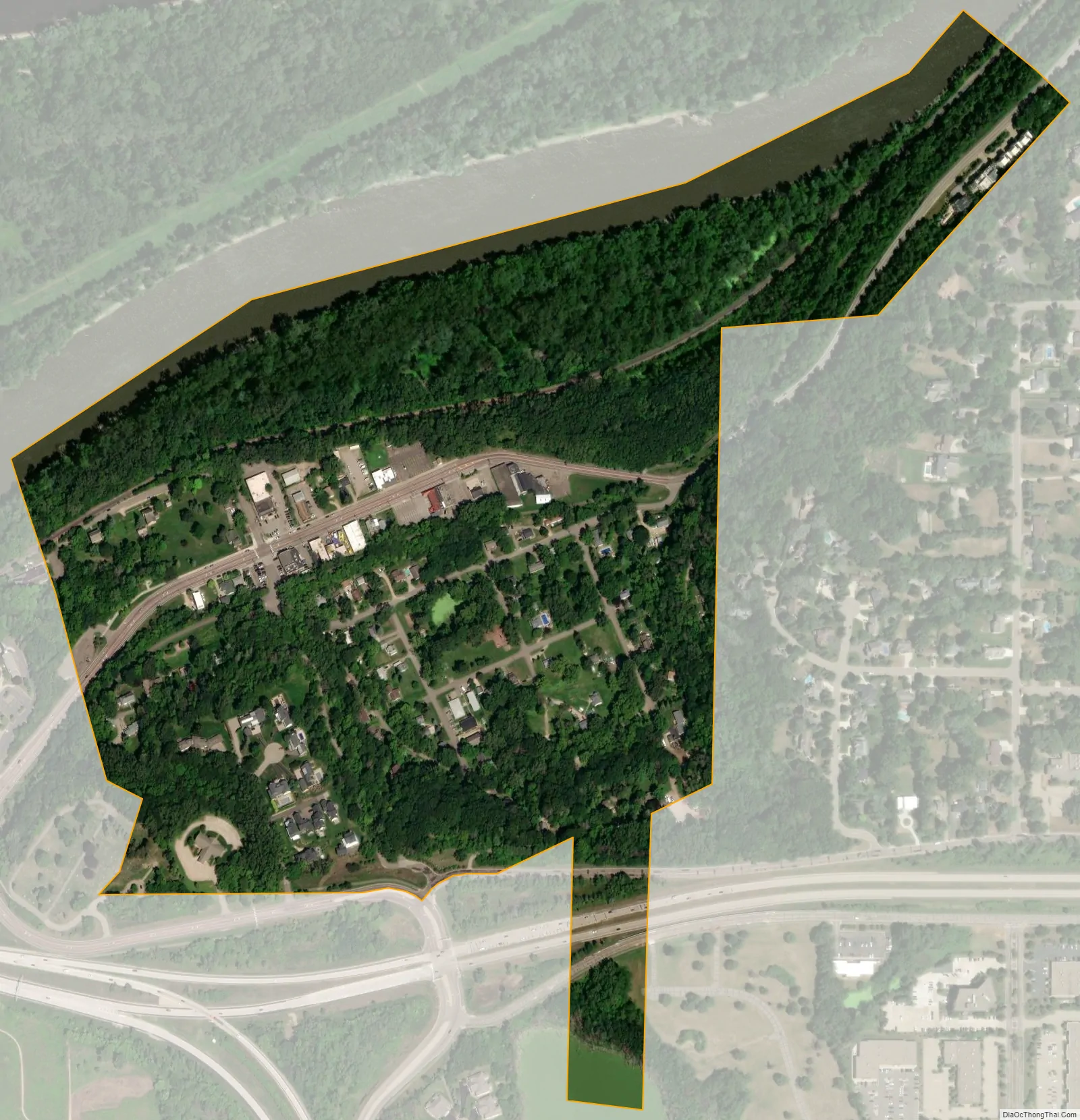
Mendota city Satellite Map
Geography
According to the United States Census Bureau, the city has a total area of 0.30 square miles (0.78 km), of which 0.27 square miles (0.70 km) is land and 0.03 square miles (0.08 km) is water.
The city of Mendota is located at the confluence of the Mississippi and Minnesota rivers. The city is surrounded on three sides by the city of Mendota Heights. Fort Snelling State Park is nearby.
See also
Map of Minnesota State and its subdivision:- Aitkin
- Anoka
- Becker
- Beltrami
- Benton
- Big Stone
- Blue Earth
- Brown
- Carlton
- Carver
- Cass
- Chippewa
- Chisago
- Clay
- Clearwater
- Cook
- Cottonwood
- Crow Wing
- Dakota
- Dodge
- Douglas
- Faribault
- Fillmore
- Freeborn
- Goodhue
- Grant
- Hennepin
- Houston
- Hubbard
- Isanti
- Itasca
- Jackson
- Kanabec
- Kandiyohi
- Kittson
- Koochiching
- Lac qui Parle
- Lake
- Lake of the Woods
- Lake Superior
- Le Sueur
- Lincoln
- Lyon
- Mahnomen
- Marshall
- Martin
- McLeod
- Meeker
- Mille Lacs
- Morrison
- Mower
- Murray
- Nicollet
- Nobles
- Norman
- Olmsted
- Otter Tail
- Pennington
- Pine
- Pipestone
- Polk
- Pope
- Ramsey
- Red Lake
- Redwood
- Renville
- Rice
- Rock
- Roseau
- Saint Louis
- Scott
- Sherburne
- Sibley
- Stearns
- Steele
- Stevens
- Swift
- Todd
- Traverse
- Wabasha
- Wadena
- Waseca
- Washington
- Watonwan
- Wilkin
- Winona
- Wright
- Yellow Medicine
- Alabama
- Alaska
- Arizona
- Arkansas
- California
- Colorado
- Connecticut
- Delaware
- District of Columbia
- Florida
- Georgia
- Hawaii
- Idaho
- Illinois
- Indiana
- Iowa
- Kansas
- Kentucky
- Louisiana
- Maine
- Maryland
- Massachusetts
- Michigan
- Minnesota
- Mississippi
- Missouri
- Montana
- Nebraska
- Nevada
- New Hampshire
- New Jersey
- New Mexico
- New York
- North Carolina
- North Dakota
- Ohio
- Oklahoma
- Oregon
- Pennsylvania
- Rhode Island
- South Carolina
- South Dakota
- Tennessee
- Texas
- Utah
- Vermont
- Virginia
- Washington
- West Virginia
- Wisconsin
- Wyoming