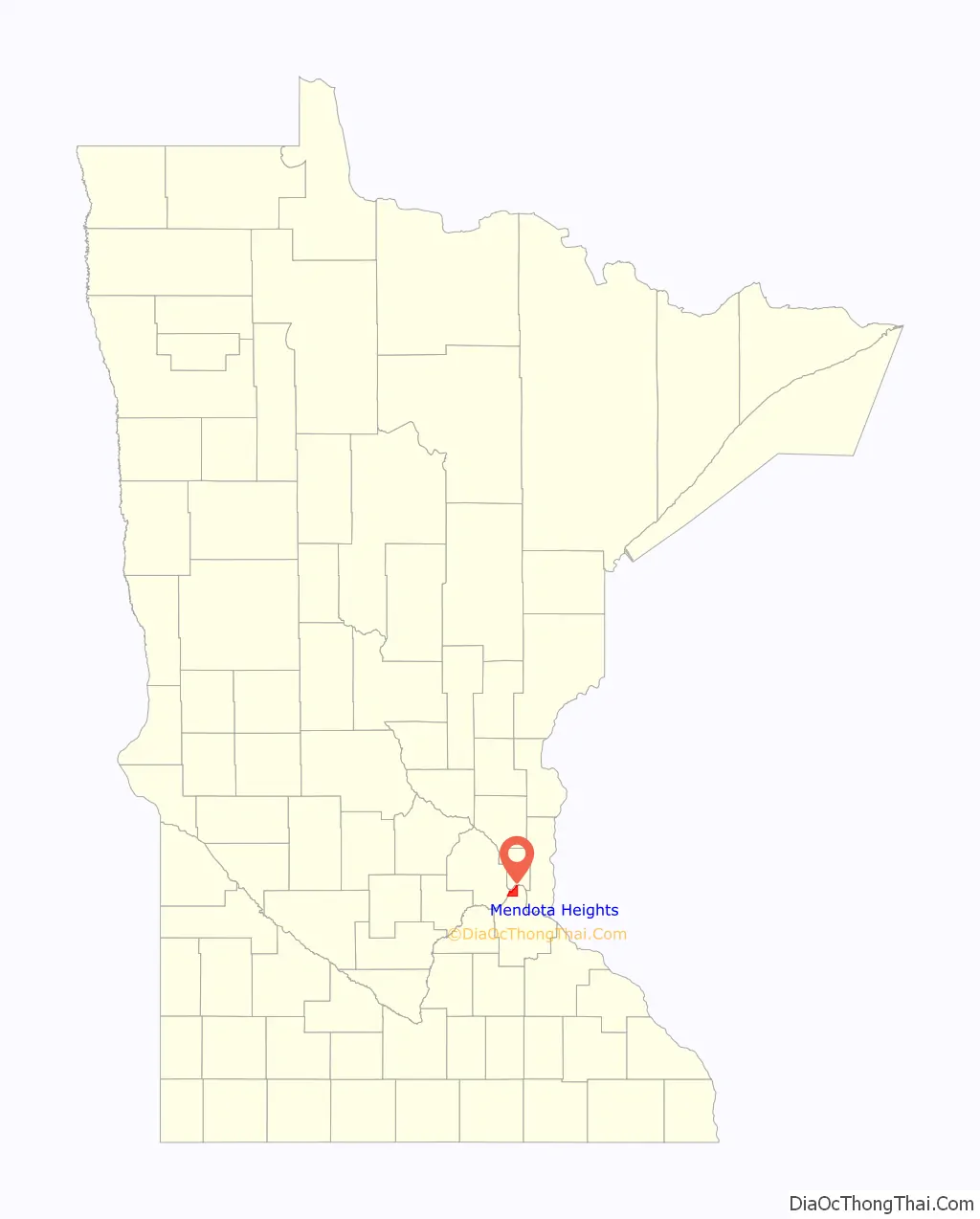
Mendota Heights (/mɛnˈdoʊtə/ men-DOH-tə) is a city in Dakota County, Minnesota, United States. It is a first ring southern suburb of the Twin Cities. The population was 11,744 at the 2020 census.
| Name: | Mendota Heights city |
|---|---|
| LSAD Code: | 25 |
| LSAD Description: | city (suffix) |
| State: | Minnesota |
| County: | Dakota County |
| Elevation: | 912 ft (278 m) |
| Total Area: | 10.05 sq mi (26.02 km²) |
| Land Area: | 9.07 sq mi (23.50 km²) |
| Water Area: | 0.97 sq mi (2.52 km²) |
| Total Population: | 11,744 |
| Population Density: | 1,294.10/sq mi (499.66/km²) |
| ZIP code: | 55118, 55120 |
| Area code: | 651 |
| FIPS code: | 2741696 |
| GNISfeature ID: | 0647763 |
| Website: | www.mendota-heights.com |
Online Interactive Map
Click on ![]() to view map in "full screen" mode.
to view map in "full screen" mode.
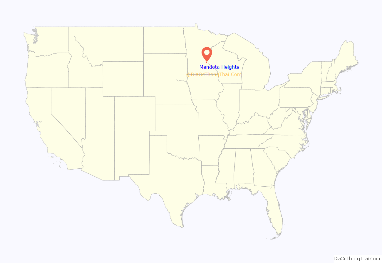
Mendota Heights location map. Where is Mendota Heights city?
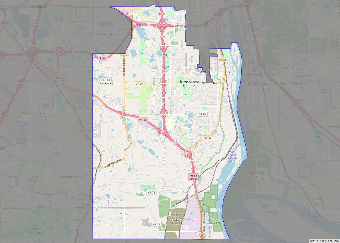
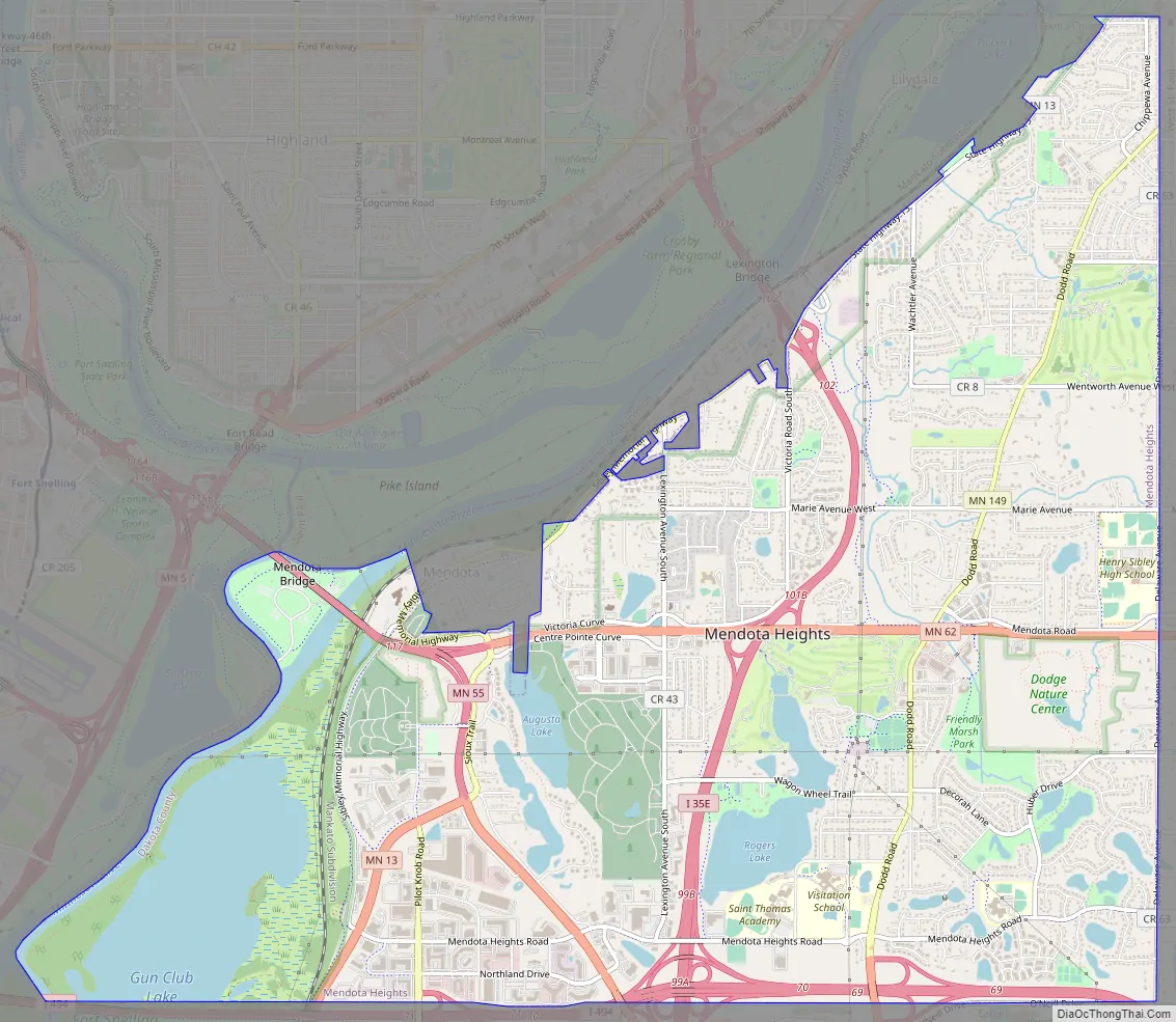
Mendota Heights Road Map
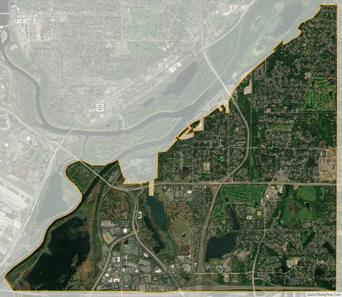
Mendota Heights city Satellite Map
Geography
According to the United States Census Bureau, the city has a total area of 10.12 square miles (26.21 km), of which 9.15 square miles (23.70 km) is land and 0.97 square miles (2.51 km) is water.
Interstate Highway 35E, Interstate Highway 494 and Minnesota Highways 55 and 62 are four of the main routes near the town.
See also
Map of Minnesota State and its subdivision:- Aitkin
- Anoka
- Becker
- Beltrami
- Benton
- Big Stone
- Blue Earth
- Brown
- Carlton
- Carver
- Cass
- Chippewa
- Chisago
- Clay
- Clearwater
- Cook
- Cottonwood
- Crow Wing
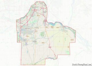
- Dakota
- Dodge
- Douglas
- Faribault
- Fillmore
- Freeborn
- Goodhue
- Grant
- Hennepin
- Houston
- Hubbard
- Isanti
- Itasca
- Jackson
- Kanabec
- Kandiyohi
- Kittson
- Koochiching
- Lac qui Parle
- Lake
- Lake of the Woods
- Lake Superior
- Le Sueur
- Lincoln
- Lyon
- Mahnomen
- Marshall
- Martin
- McLeod
- Meeker
- Mille Lacs
- Morrison
- Mower
- Murray
- Nicollet
- Nobles
- Norman
- Olmsted
- Otter Tail
- Pennington
- Pine
- Pipestone
- Polk
- Pope
- Ramsey
- Red Lake
- Redwood
- Renville
- Rice
- Rock
- Roseau
- Saint Louis
- Scott
- Sherburne
- Sibley
- Stearns
- Steele
- Stevens
- Swift
- Todd
- Traverse
- Wabasha
- Wadena
- Waseca
- Washington
- Watonwan
- Wilkin
- Winona
- Wright
- Yellow Medicine
- Alabama
- Alaska
- Arizona
- Arkansas
- California
- Colorado
- Connecticut
- Delaware
- District of Columbia
- Florida
- Georgia
- Hawaii
- Idaho
- Illinois
- Indiana
- Iowa
- Kansas
- Kentucky
- Louisiana
- Maine
- Maryland
- Massachusetts
- Michigan
- Minnesota
- Mississippi
- Missouri
- Montana
- Nebraska
- Nevada
- New Hampshire
- New Jersey
- New Mexico
- New York
- North Carolina
- North Dakota
- Ohio
- Oklahoma
- Oregon
- Pennsylvania
- Rhode Island
- South Carolina
- South Dakota
- Tennessee
- Texas
- Utah
- Vermont
- Virginia
- Washington
- West Virginia
- Wisconsin
- Wyoming