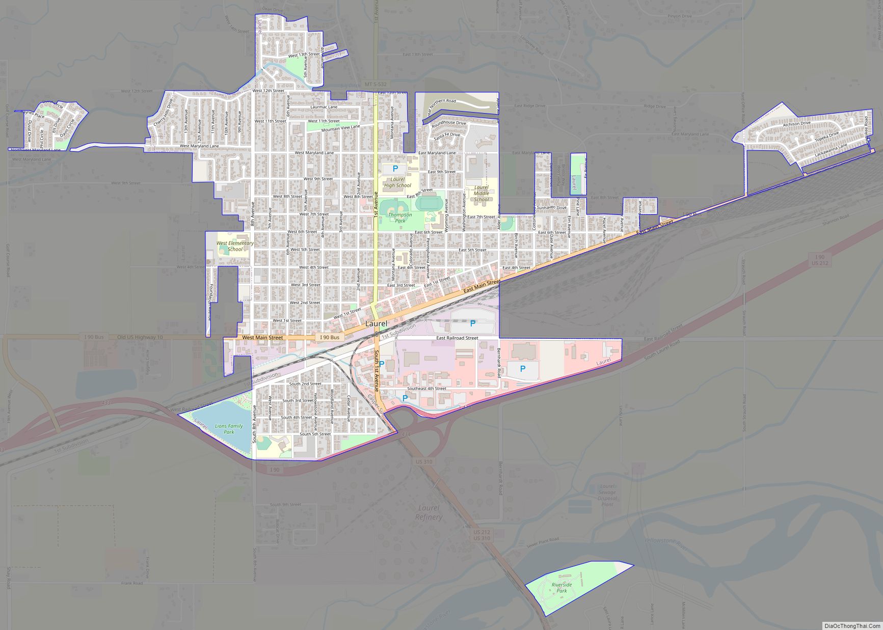
Laurel is a city in Yellowstone County, Montana, United States. It is the third largest community in the Billings Metropolitan Statistical Area, and is located in the Yellowstone Valley, as an east–west terminal division point of the Burlington-Northern Railroad. The population was 7,222 at the 2020 census.
Laurel is home to a Cenex Harvest States oil refinery and Montana Rail Link’s Laurel Yard, the largest rail yard between St. Paul, Minnesota and Pasco, Washington.
| Name: | Laurel city |
|---|---|
| LSAD Code: | 25 |
| LSAD Description: | city (suffix) |
| State: | Montana |
| County: | Yellowstone County |
| Elevation: | 3,301 ft (1,006 m) |
| Total Area: | 2.18 sq mi (5.64 km²) |
| Land Area: | 2.17 sq mi (5.63 km²) |
| Water Area: | 0.00 sq mi (0.00 km²) |
| Total Population: | 7,222 |
| Population Density: | 3,320.46/sq mi (1,282.33/km²) |
| ZIP code: | 59044 |
| Area code: | 406 |
| FIPS code: | 3042700 |
| GNISfeature ID: | 0773254 |
| Website: | laurel.mt.gov |
Online Interactive Map
Click on ![]() to view map in "full screen" mode.
to view map in "full screen" mode.
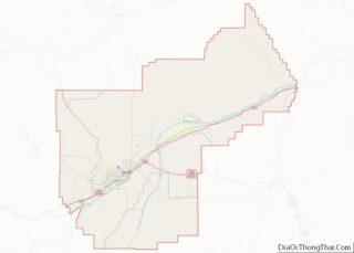
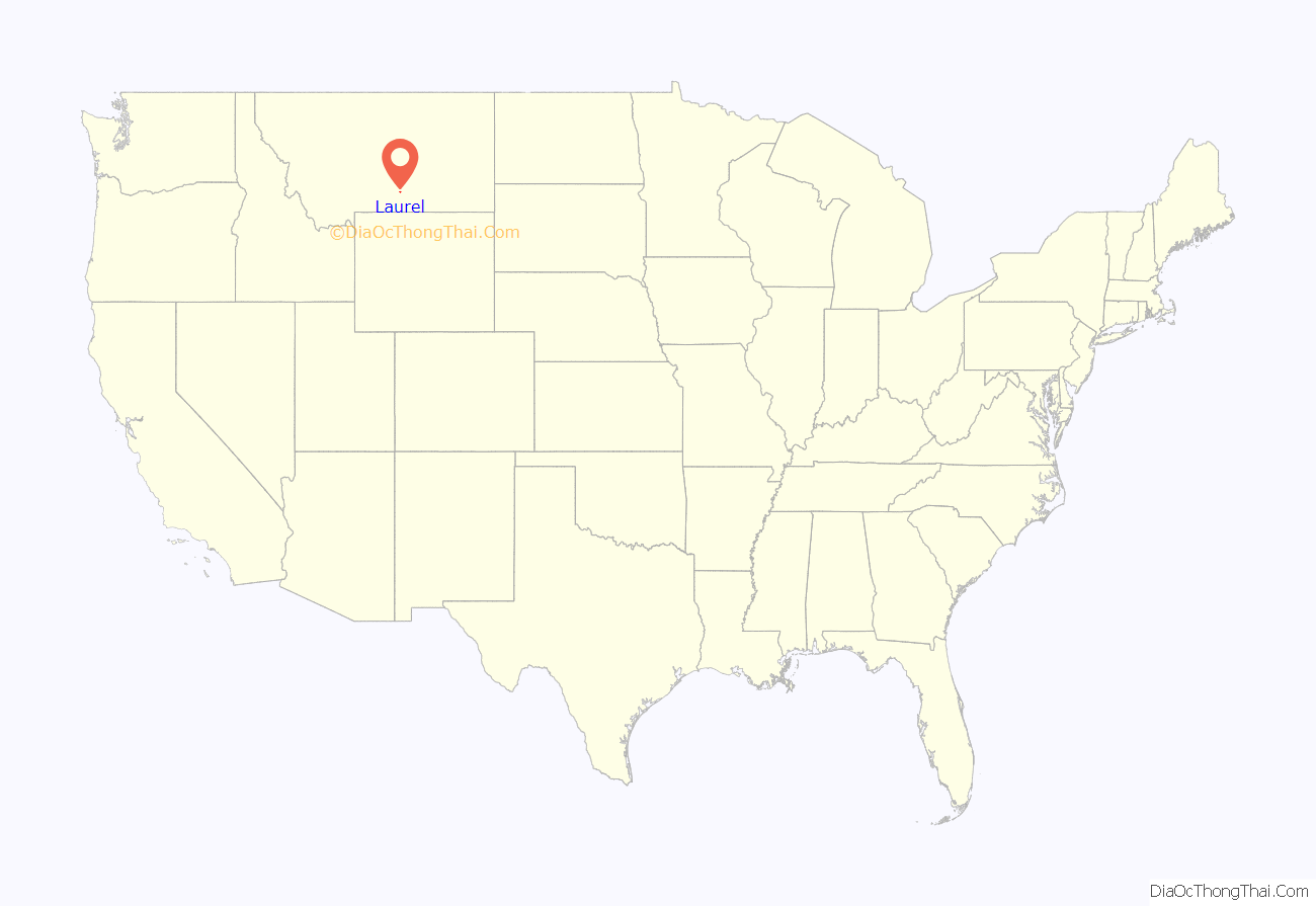
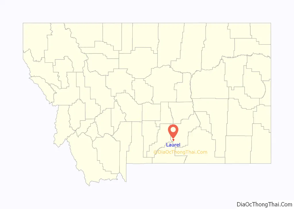
Laurel location map. Where is Laurel city?
History
Before Laurel became a city or a community, people passed through the site during the gold rush period, when gold was discovered at the Clarks Fork headwaters. They came by team and wagon, and by small steamer vessels up the Yellowstone River. The government was in the process of planning a railroad to the west coast, and had surveying crews out to map the country on the most direct route. Many of the prospectors that went west in search of gold, felt gold might be found in other parts of the state, so some returned to the Yellowstone Valley, and others came from the East to settle here. However, this did not take place until after the Custer Massacre in 1876. It was not until 1877 that the white man felt safe in the Yellowstone Valley, after the power of the Sioux was broken. So it was that while the memory of the Massacre of General Custer and his Command on the Little Big Horn River was still fresh in the minds of settlers of Montana, that a little community was established in the Yellowstone Valley.
The history of Laurel began when settlers began making their homes in the vicinity in 1879. There was a section house built that served as a depot and post office, situated about where Hobo Hill is, or near the center of the present railroad yards east of Laurel. The railroad pushed closer to Laurel from the east, up the Yellowstone Valley during the summer of 1882. Up to this time, there were about 200 people in the community. With the advent of the railroad, the population grew to 368 in 1900, 806 in 1910, and 2,338 in 1920.
Laurel was originally known as the station of Carlton, however by 1883, its name was changed to Laurel, after a local shrub. The post office was established in 1886. Laurel was considered a town in 1906, but it was not until August 1908 that it became incorporated, and two months later, on October 10, 1908, city government was established with the election of a city council and mayor.
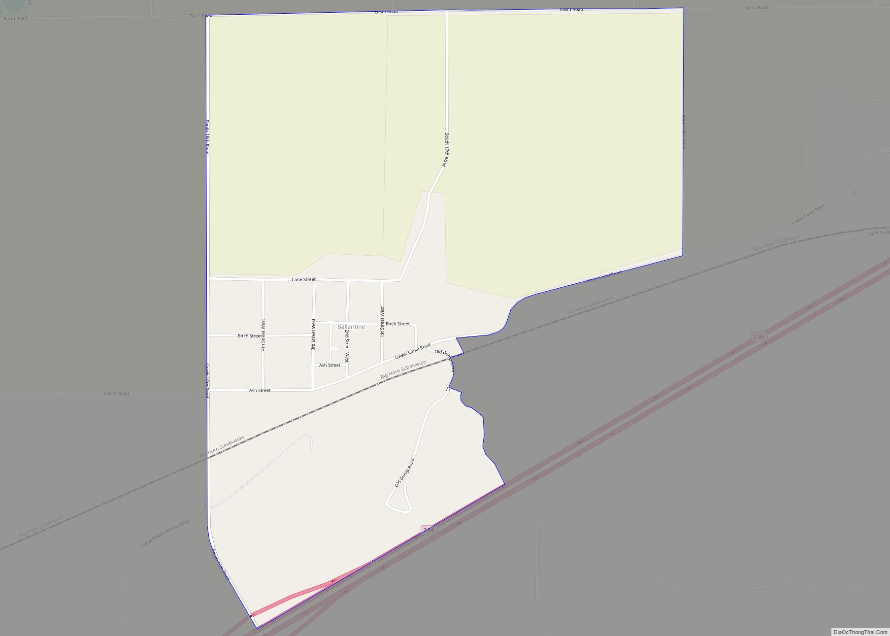
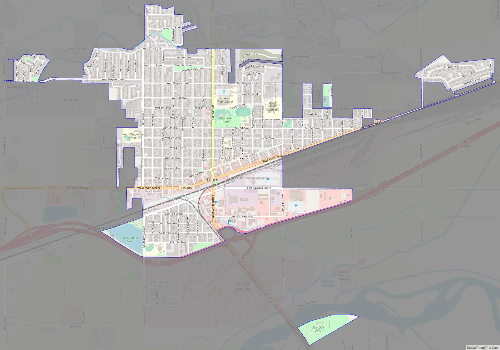
Laurel Road Map
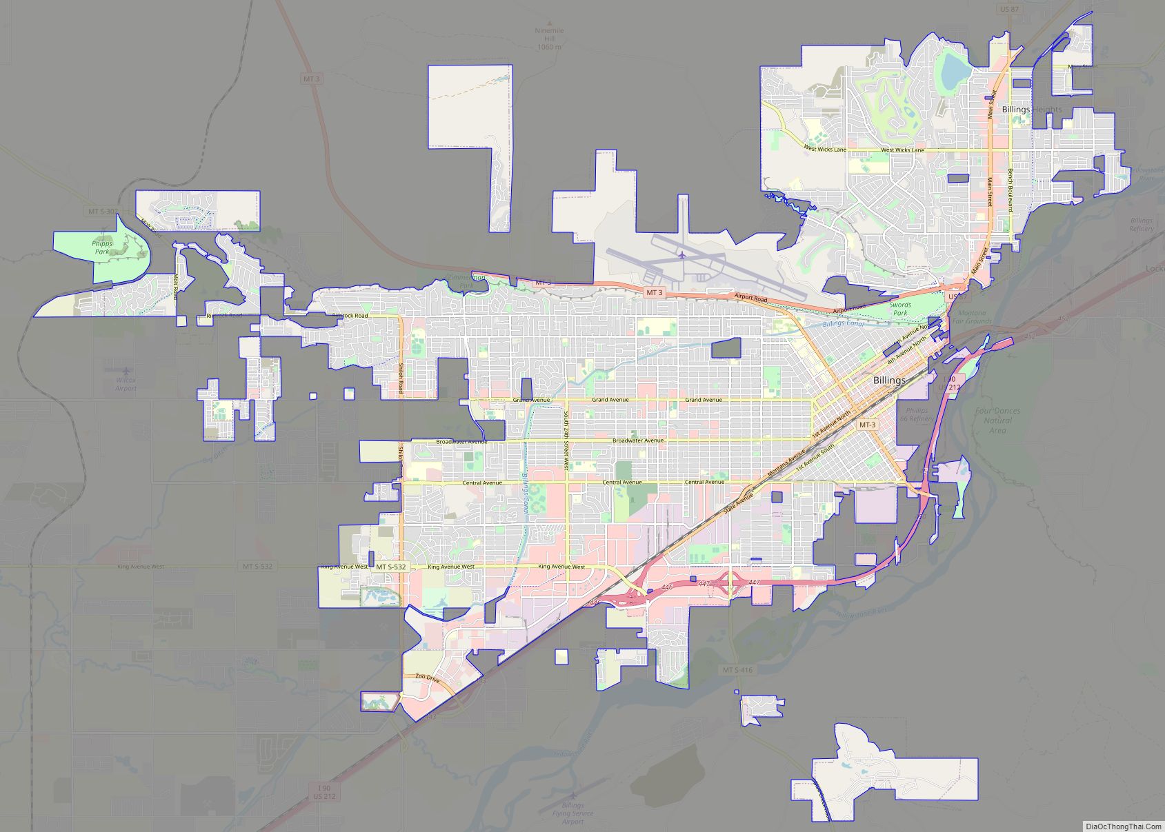
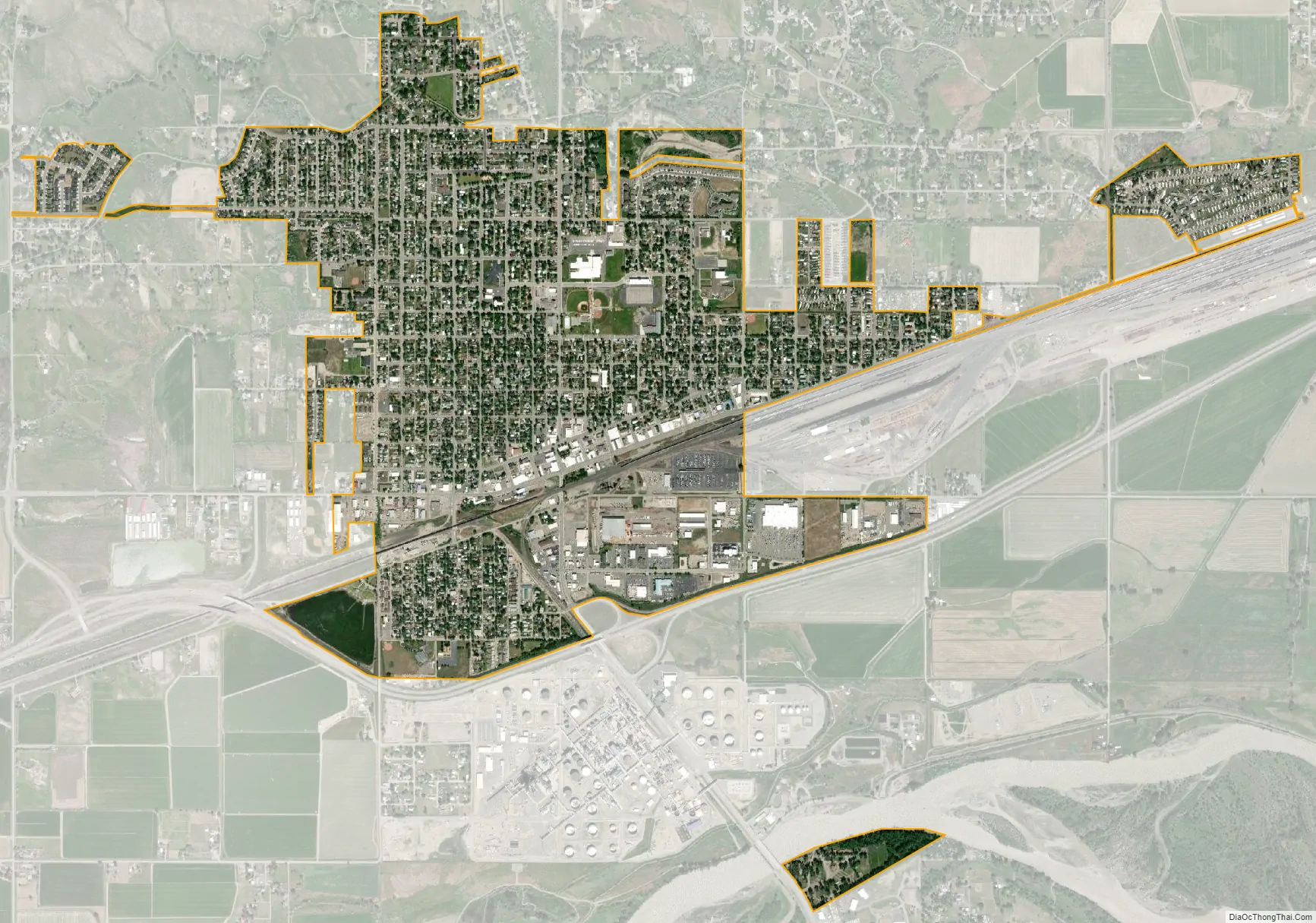
Laurel city Satellite Map
Geography
Laurel is located at 45°40′26″N 108°46′15″W / 45.67389°N 108.77083°W / 45.67389; -108.77083 (45.673986, -108.770893). It is 3300 feet (1006 m) above sea level.
According to the United States Census Bureau, the city has a total area of 2.14 square miles (5.54 km), all land.
Some of Laurel’s residents commute the 15 miles (24 km) to Billings, Montana’s largest city. Laurel is also significant as it lies on one of two main roads to Red Lodge, 45 miles (72 km) southwest on US 212; it is a popular mountain town and an end of the Beartooth Highway.
Laurel is also served by the Laurel Municipal Airport, a publicly owned public-use airport, which is 2.4 miles (3.9 km) north of the central business district.
Laurel is positioned mostly on the northern side of the Yellowstone River, near where the Clark’s Fork meets the Yellowstone.
See also
Map of Montana State and its subdivision:- Beaverhead
- Big Horn
- Blaine
- Broadwater
- Carbon
- Carter
- Cascade
- Chouteau
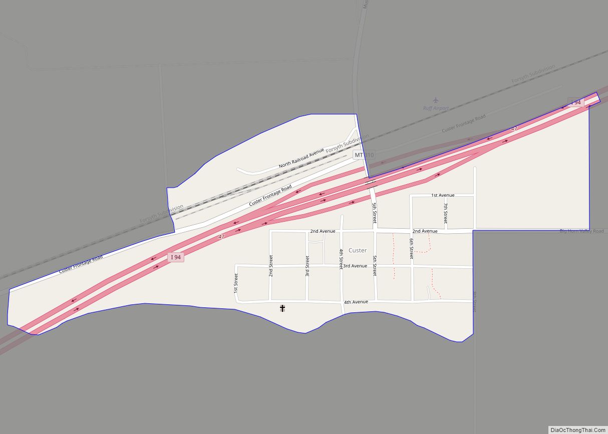
- Custer
- Daniels
- Dawson
- Deer Lodge
- Fallon
- Fergus
- Flathead
- Gallatin
- Garfield
- Glacier
- Golden Valley
- Granite
- Hill
- Jefferson
- Judith Basin
- Lake
- Lewis and Clark
- Liberty
- Lincoln
- Madison
- McCone
- Meagher
- Mineral
- Missoula
- Musselshell
- Park
- Petroleum
- Phillips
- Pondera
- Powder River
- Powell
- Prairie
- Ravalli
- Richland
- Roosevelt
- Rosebud
- Sanders
- Sheridan
- Silver Bow
- Stillwater
- Sweet Grass
- Teton
- Toole
- Treasure
- Valley
- Wheatland
- Wibaux
- Yellowstone
- Alabama
- Alaska
- Arizona
- Arkansas
- California
- Colorado
- Connecticut
- Delaware
- District of Columbia
- Florida
- Georgia
- Hawaii
- Idaho
- Illinois
- Indiana
- Iowa
- Kansas
- Kentucky
- Louisiana
- Maine
- Maryland
- Massachusetts
- Michigan
- Minnesota
- Mississippi
- Missouri
- Montana
- Nebraska
- Nevada
- New Hampshire
- New Jersey
- New Mexico
- New York
- North Carolina
- North Dakota
- Ohio
- Oklahoma
- Oregon
- Pennsylvania
- Rhode Island
- South Carolina
- South Dakota
- Tennessee
- Texas
- Utah
- Vermont
- Virginia
- Washington
- West Virginia
- Wisconsin
- Wyoming