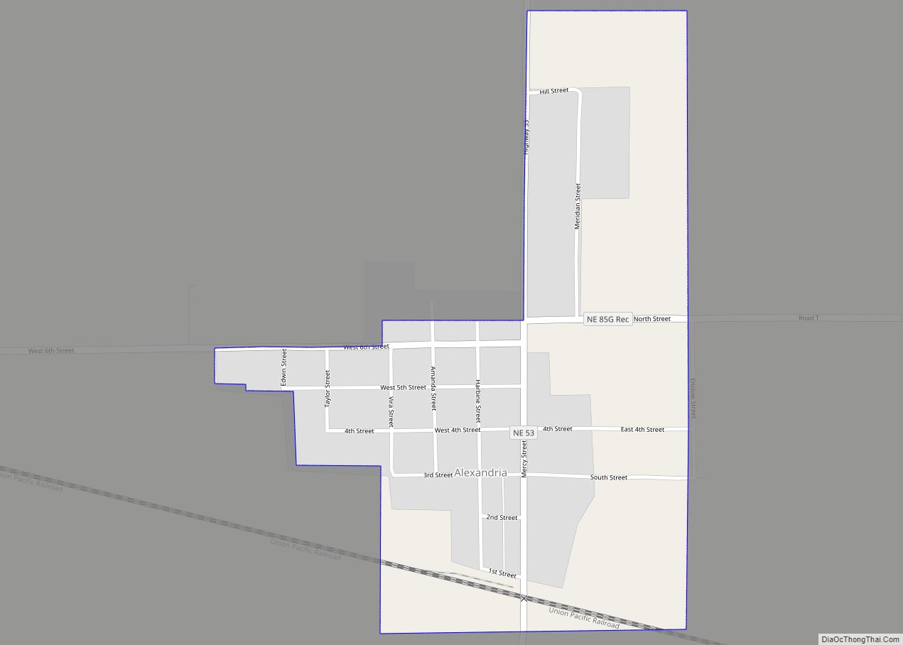
Alexandria is a village in Thayer County, Nebraska, United States. The population was 146 at the 2020 census.
| Name: | Alexandria village |
|---|---|
| LSAD Code: | 47 |
| LSAD Description: | village (suffix) |
| State: | Nebraska |
| County: | Thayer County |
| Elevation: | 1,414 ft (431 m) |
| Total Area: | 0.40 sq mi (1.05 km²) |
| Land Area: | 0.40 sq mi (1.05 km²) |
| Water Area: | 0.00 sq mi (0.00 km²) |
| Total Population: | 146 |
| Population Density: | 366.34/sq mi (141.28/km²) |
| ZIP code: | 68303 |
| Area code: | 402 |
| FIPS code: | 3100730 |
| GNISfeature ID: | 0826939 |
| Website: | http://www.alexandriane.com/ |
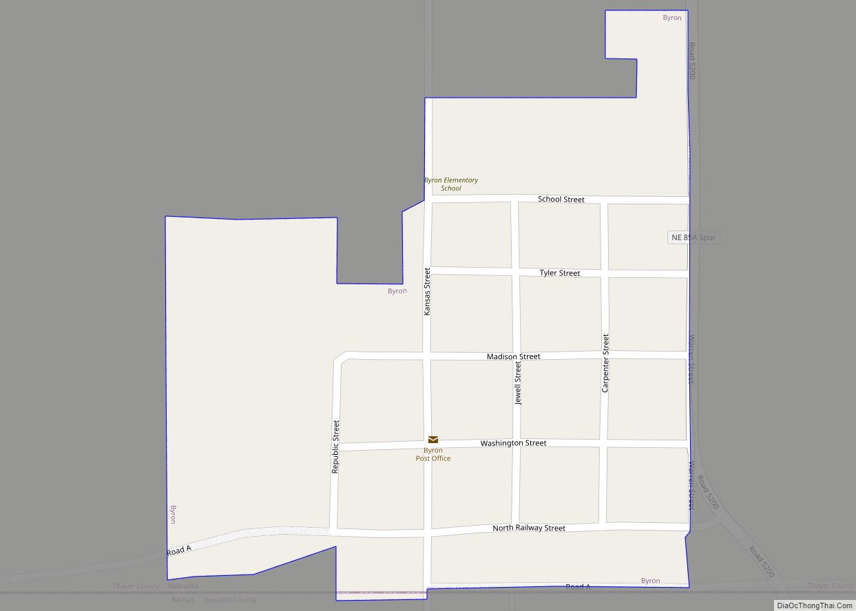
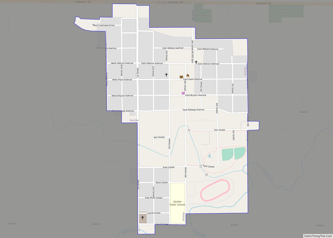
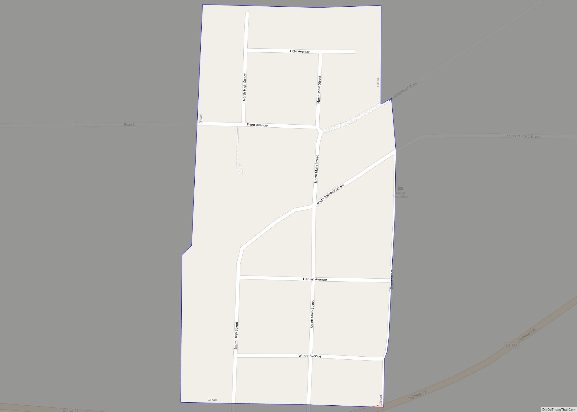
Online Interactive Map
Click on ![]() to view map in "full screen" mode.
to view map in "full screen" mode.
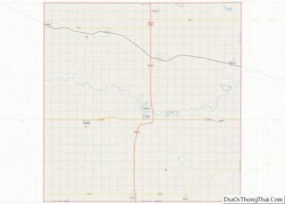
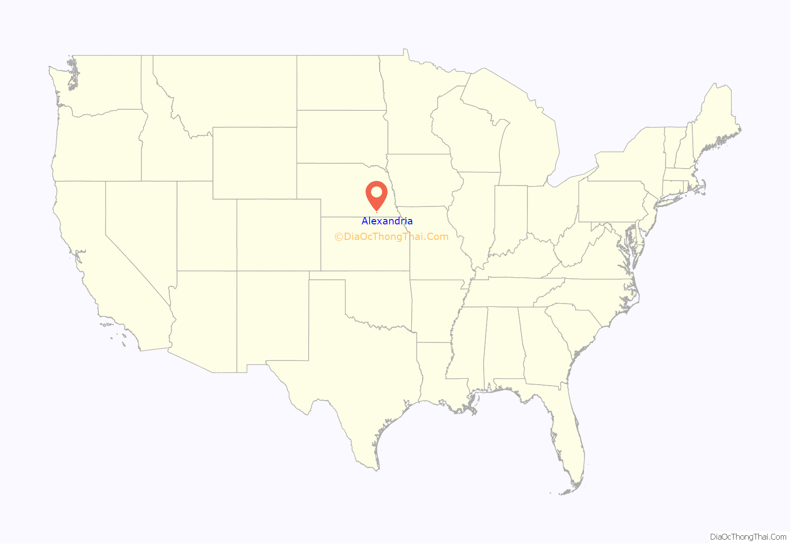
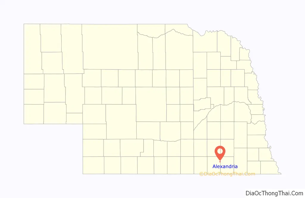
Alexandria location map. Where is Alexandria village?
History
In the 1840s and 1850s, the Oregon Trail passed through present-day Thayer County, following the Little Blue River through southeastern Nebraska before crossing into the valley of the Platte River. Settlers arrived along the trail in the late 1850s. The first permanent white residents of the county arrived in 1858, settling about two and a half miles (about four kilometers) south of present-day Alexandria, on the divide between the Little Blue and Big Sandy Creek. In 1859, Isaac Alexander arrived from Kansas with a portable gristmill; he settled on Big Sandy Creek, where he built a log cabin and stockade.
In 1872, the St. Joseph and Denver Railroad (later the St. Joseph and Grand Island) was extended into Thayer County. The railroad passed through the Alexander family’s property. At the railroad’s behest, the Nebraska Land and Town Company platted towns along its route, naming them in alphabetical order; the easternmost of these was Alexandria, followed by Belvidere, Carleton, and Davenport. The town was named after Isaac Alexander’s son, S. J. Alexander, who had been involved in negotiating the railroad’s route through Thayer County, and who later served as Nebraska’s Secretary of State.
Alexandria grew rapidly; its early growth was augmented by residents and businesses moving from the town of Meridian, established as the county seat of Jones County (now Jefferson County) but bypassed by the railroad and eventually abandoned. The town supported a flour mill on Big Sandy Creek; a newspaper, the Alexandrian, was established in 1879; and by 1882, there were four churches.
The town was beset by three severe storms in the decade following its establishment. In 1875, a tornado levelled a school building that had just been completed at a cost of $6,000. A second storm, in 1877, did only minor damage; a third, in 1881, produced several fatalities and widespread property damage.
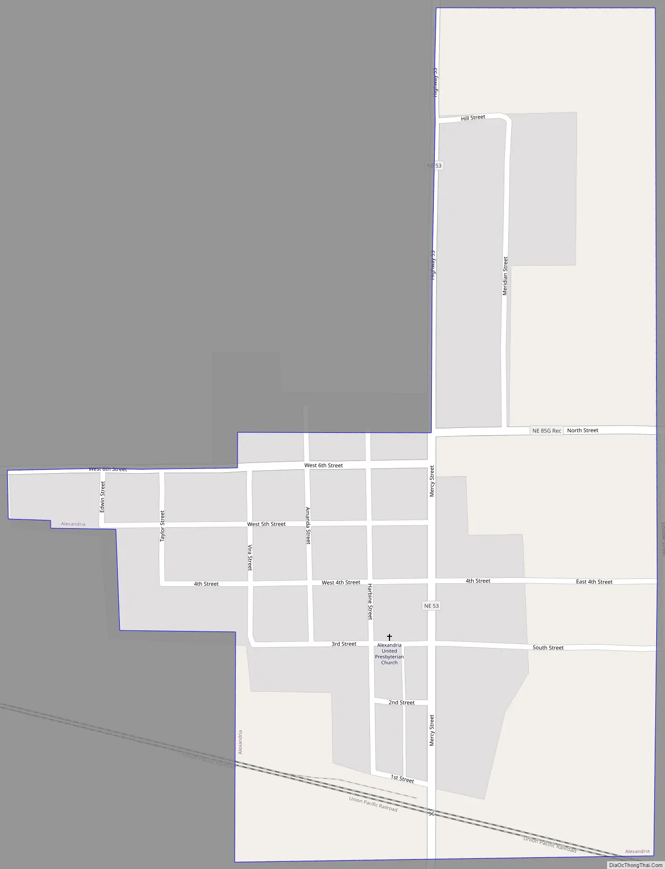
Alexandria Road Map
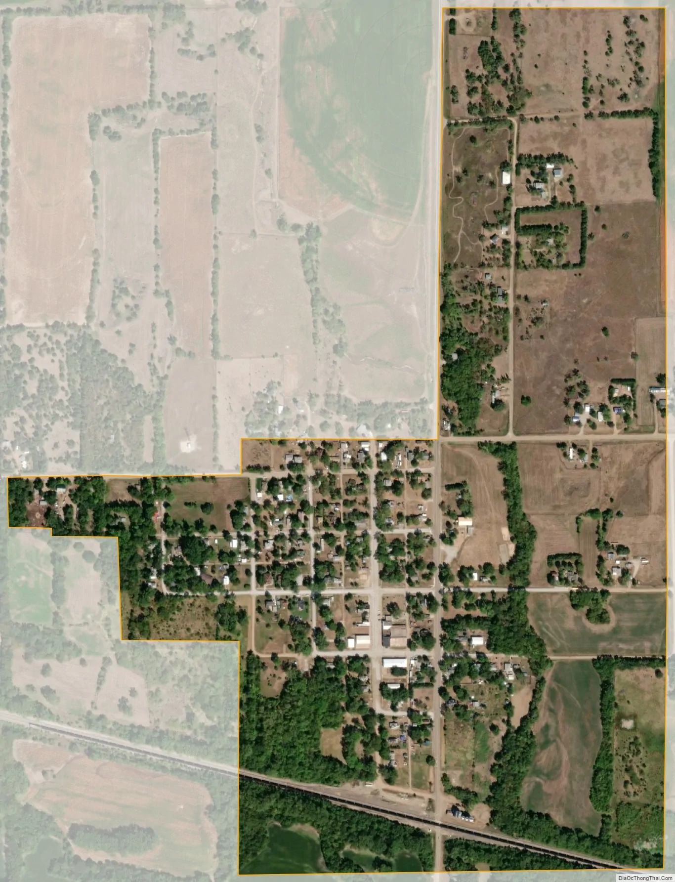
Alexandria city Satellite Map
Geography
According to the United States Census Bureau, the village has a total area of 0.40 square miles (1.04 km), all land.
See also
Map of Nebraska State and its subdivision:- Adams
- Antelope
- Arthur
- Banner
- Blaine
- Boone
- Box Butte
- Boyd
- Brown
- Buffalo
- Burt
- Butler
- Cass
- Cedar
- Chase
- Cherry
- Cheyenne
- Clay
- Colfax
- Cuming
- Custer
- Dakota
- Dawes
- Dawson
- Deuel
- Dixon
- Dodge
- Douglas
- Dundy
- Fillmore
- Franklin
- Frontier
- Furnas
- Gage
- Garden
- Garfield
- Gosper
- Grant
- Greeley
- Hall
- Hamilton
- Harlan
- Hayes
- Hitchcock
- Holt
- Hooker
- Howard
- Jefferson
- Johnson
- Kearney
- Keith
- Keya Paha
- Kimball
- Knox
- Lancaster
- Lincoln
- Logan
- Loup
- Madison
- McPherson
- Merrick
- Morrill
- Nance
- Nemaha
- Nuckolls
- Otoe
- Pawnee
- Perkins
- Phelps
- Pierce
- Platte
- Polk
- Red Willow
- Richardson
- Rock
- Saline
- Sarpy
- Saunders
- Scotts Bluff
- Seward
- Sheridan
- Sherman
- Sioux
- Stanton
- Thayer
- Thomas
- Thurston
- Valley
- Washington
- Wayne
- Webster
- Wheeler
- York
- Alabama
- Alaska
- Arizona
- Arkansas
- California
- Colorado
- Connecticut
- Delaware
- District of Columbia
- Florida
- Georgia
- Hawaii
- Idaho
- Illinois
- Indiana
- Iowa
- Kansas
- Kentucky
- Louisiana
- Maine
- Maryland
- Massachusetts
- Michigan
- Minnesota
- Mississippi
- Missouri
- Montana
- Nebraska
- Nevada
- New Hampshire
- New Jersey
- New Mexico
- New York
- North Carolina
- North Dakota
- Ohio
- Oklahoma
- Oregon
- Pennsylvania
- Rhode Island
- South Carolina
- South Dakota
- Tennessee
- Texas
- Utah
- Vermont
- Virginia
- Washington
- West Virginia
- Wisconsin
- Wyoming