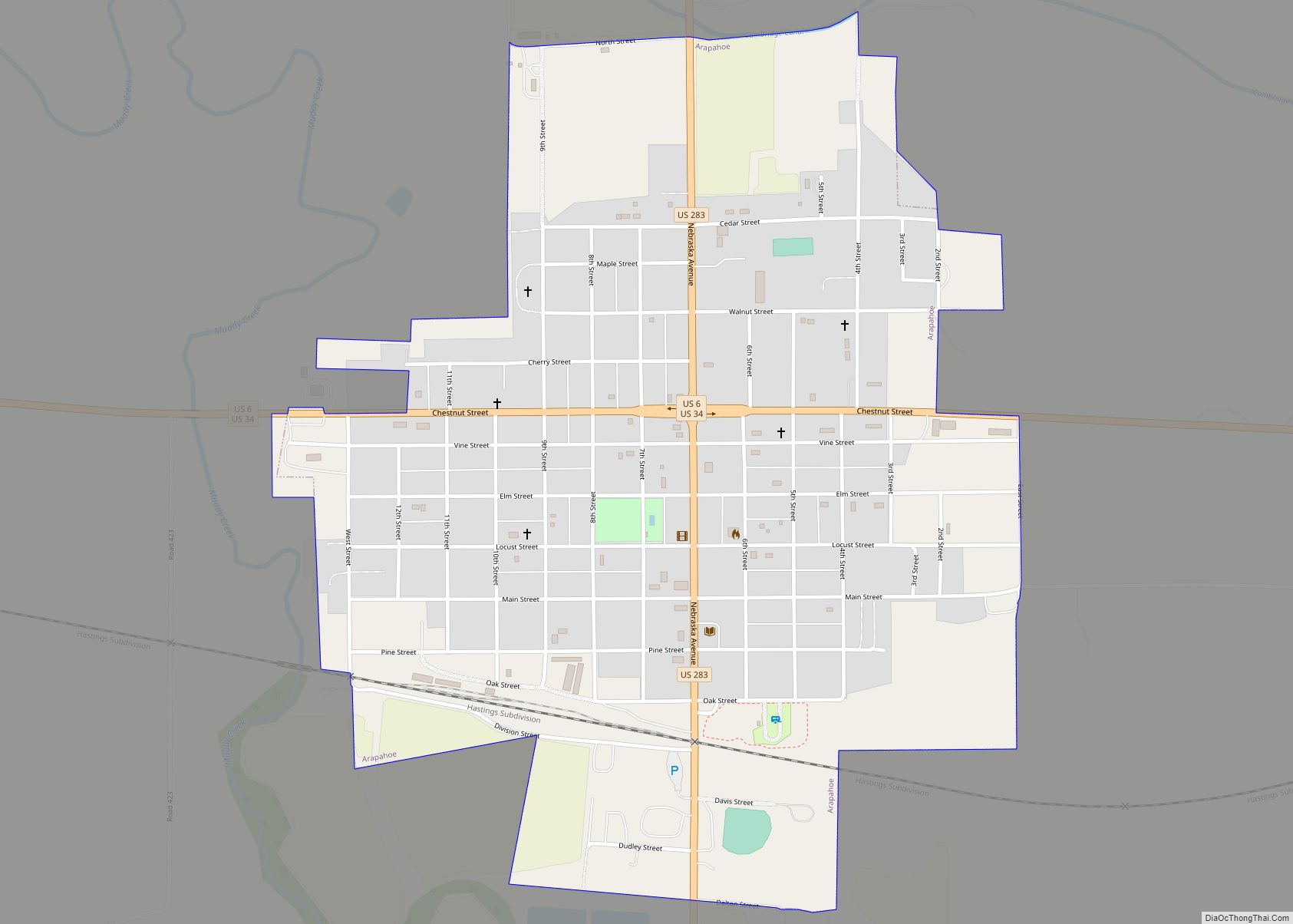
Arapahoe is a city in Furnas County, in the southern part of the state of Nebraska in the Midwestern United States. The population of the rural town was 1,026 at the 2010 census.
| Name: | Arapahoe city |
|---|---|
| LSAD Code: | 25 |
| LSAD Description: | city (suffix) |
| State: | Nebraska |
| County: | Furnas County |
| Elevation: | 2,178 ft (664 m) |
| Total Area: | 0.97 sq mi (2.52 km²) |
| Land Area: | 0.97 sq mi (2.52 km²) |
| Water Area: | 0.00 sq mi (0.00 km²) |
| Total Population: | 1,002 |
| Population Density: | 1,031.93/sq mi (398.24/km²) |
| ZIP code: | 68922 |
| Area code: | 308 |
| FIPS code: | 3101780 |
| GNISfeature ID: | 0827034 |
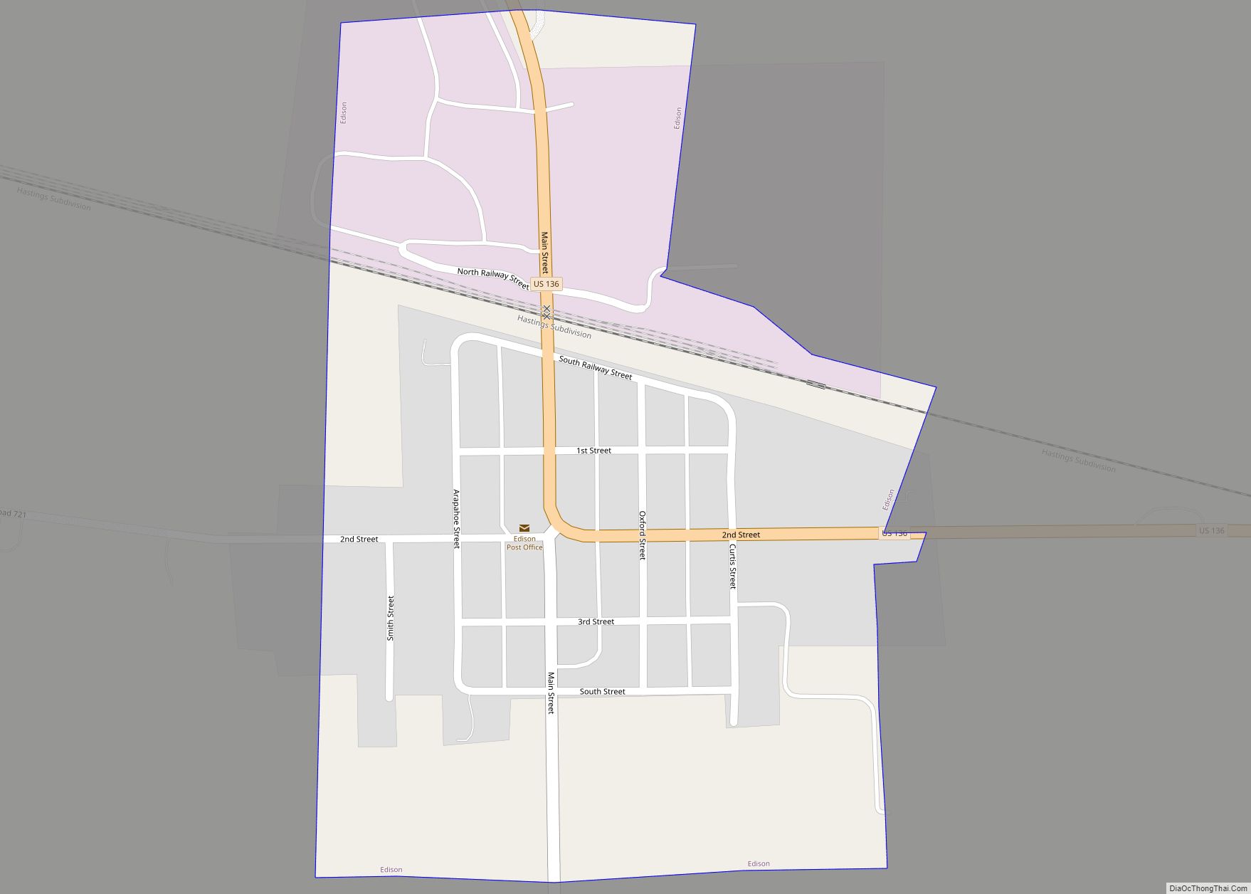
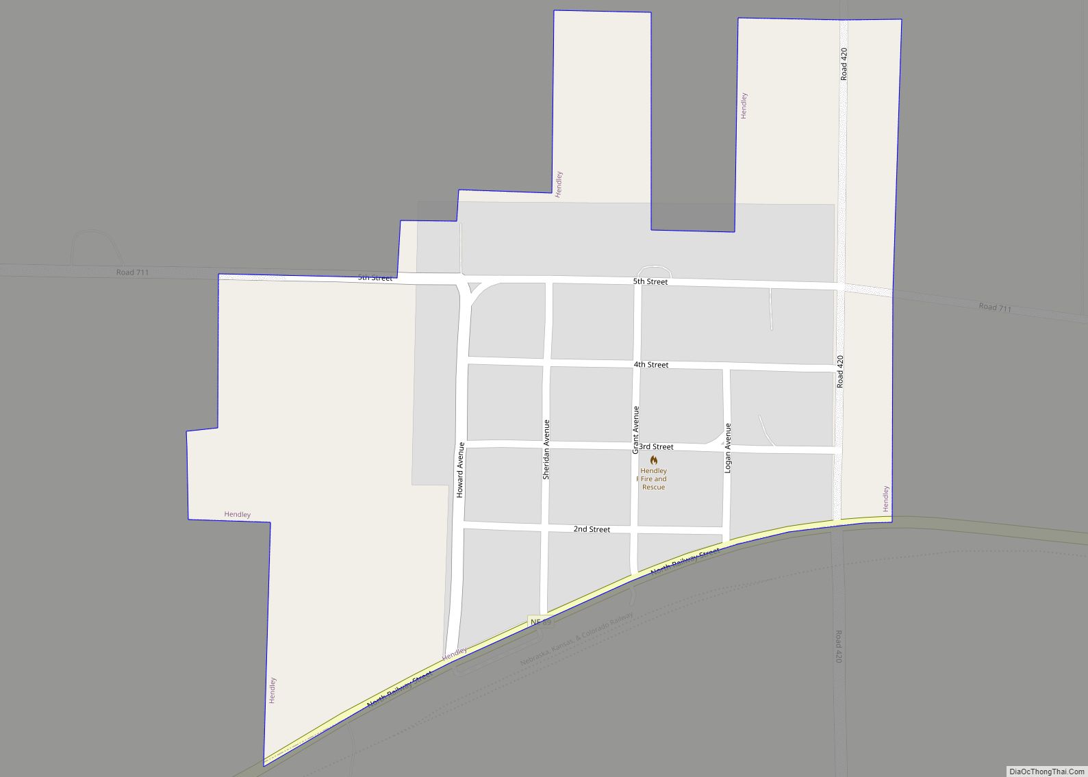
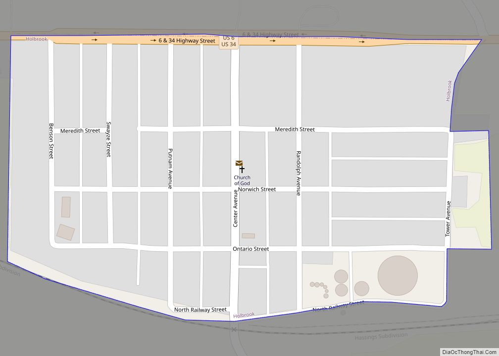
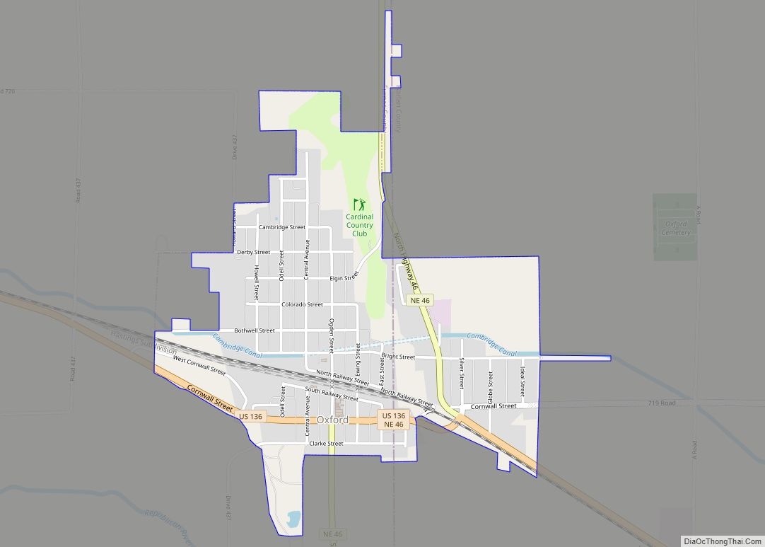
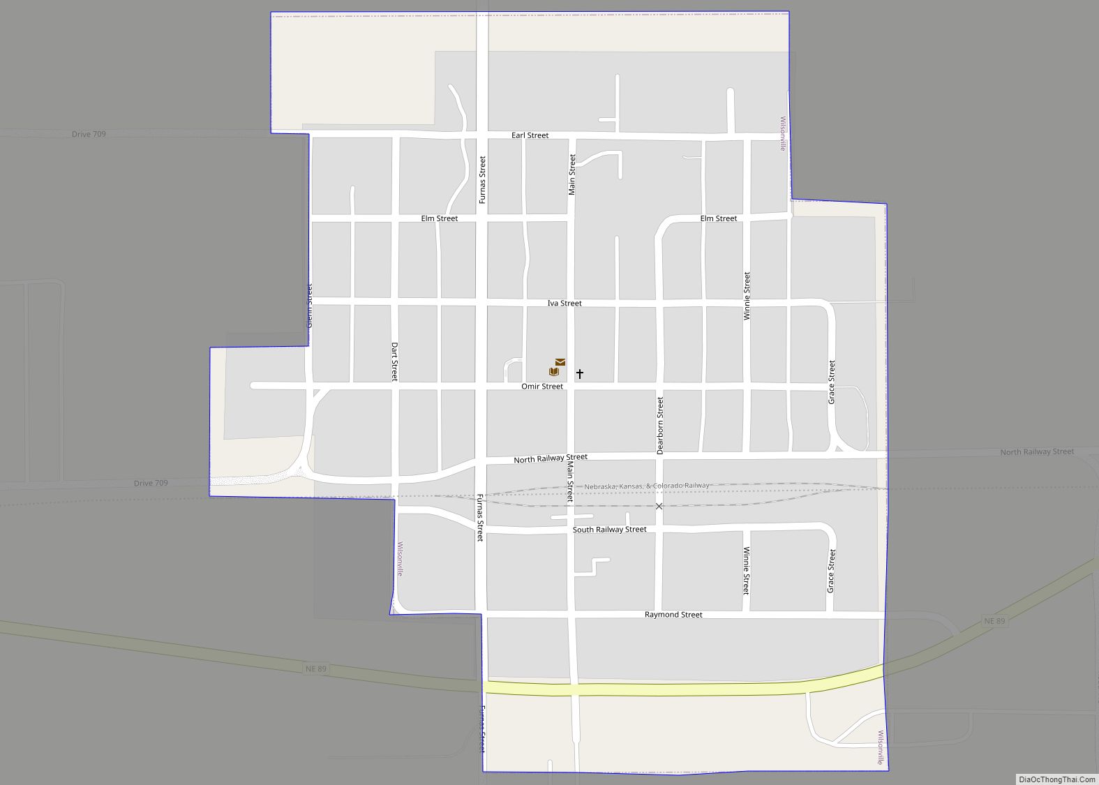
Online Interactive Map
Click on ![]() to view map in "full screen" mode.
to view map in "full screen" mode.
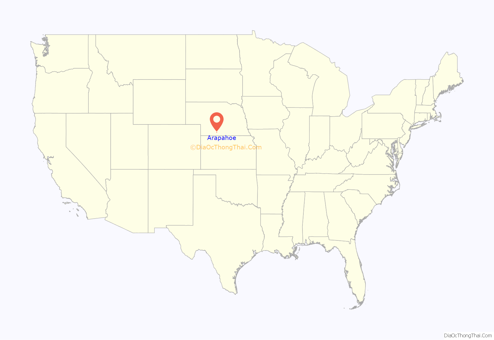
Arapahoe location map. Where is Arapahoe city?
History
In the spring of 1871, the Arapahoe Town Company was formed in Plattsmouth, Nebraska, under the leadership of Captain E. B. Murphy, for the purpose of establishing a settlement in the Republican River valley. The townsite was surveyed on July 18, 1871. It was named for the Arapaho tribe of Native Americans who occupied this area.
A post office was established in Arapahoe in 1872. A sawmill and gristmill were constructed on Muddy Creek, west of the town; the sawmill provided timber for early construction.
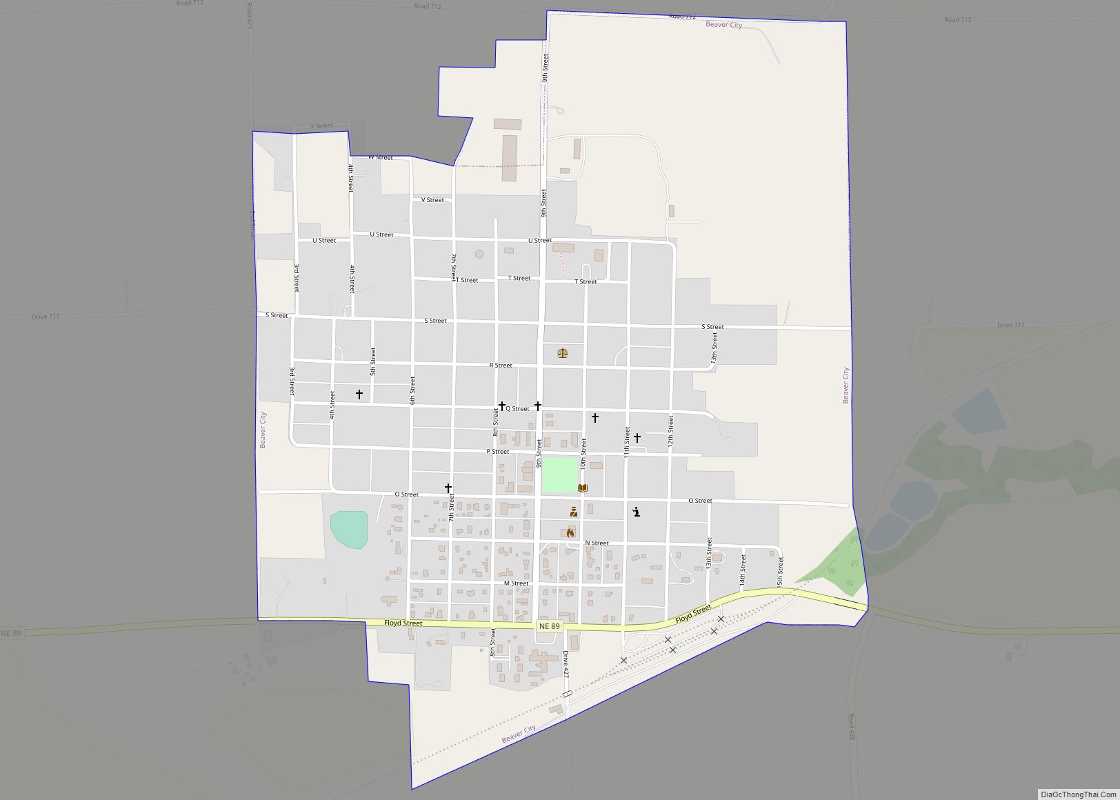
In 1873, Furnas County was organized by the state legislature, with Arapahoe designated as the county seat. The designation was challenged by Beaver City; an 1873 county election, followed by extensive litigation, moved the county seat to Beaver City in 1876.
The city’s first newspaper was the Pioneer, established in 1879. In 1882, the Arapahoe Public Mirror was established to support the Democratic Party in the county. The Public Mirror is still in operation; in 1924, it absorbed the Holbrook Observer. In 1978, it acquired the Elwood Bulletin, which it continues to publish under that name.
The Arapahoe Telephone Company was established in 1904. In the 1930s, during the Great Depression, a WPA project constructed a swimming pool and solarium at the city park, which had been part of the city’s original layout.
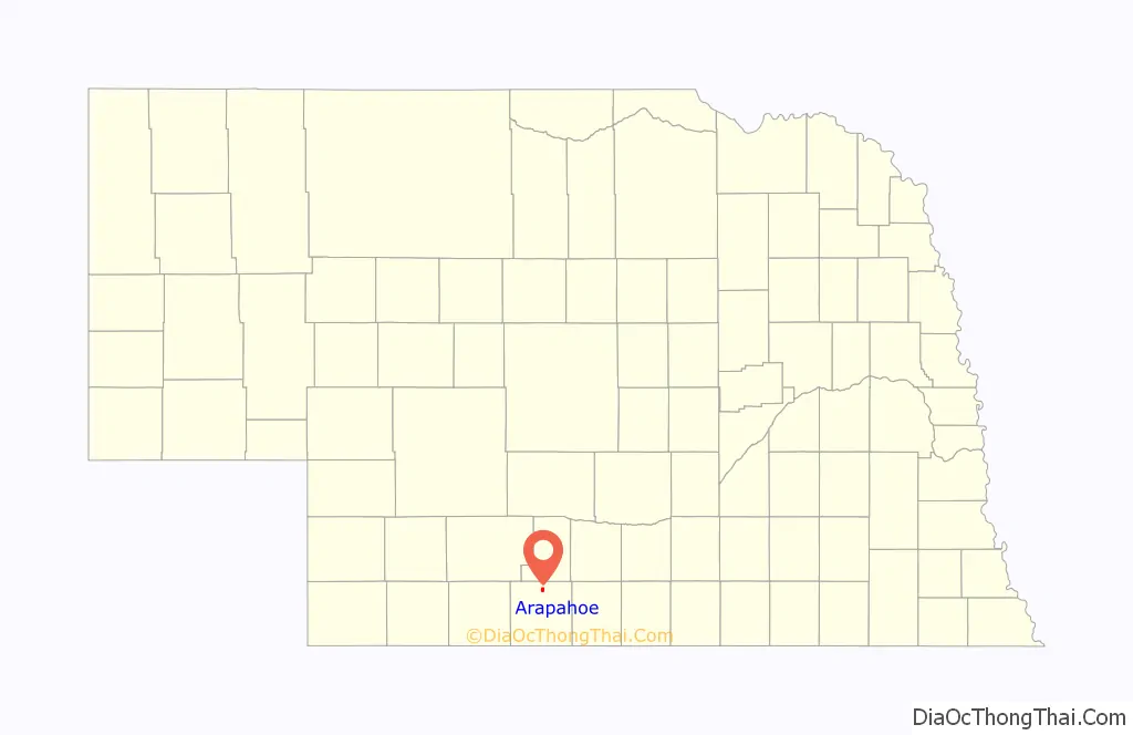
Arapahoe Road Map
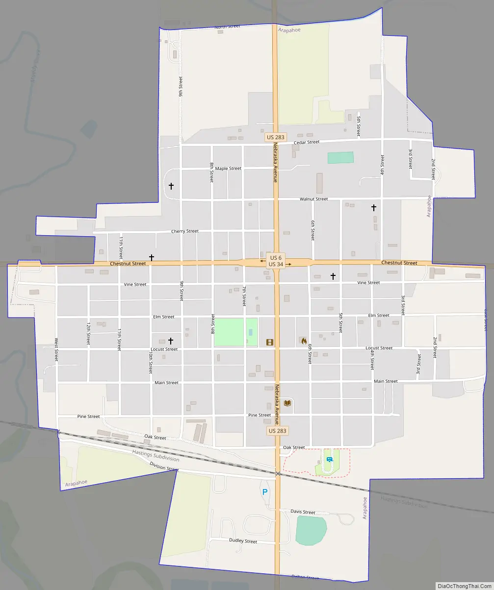
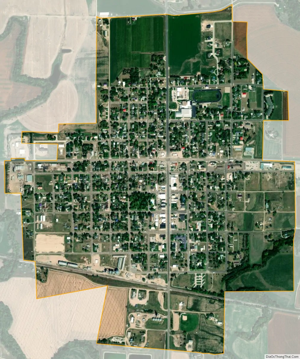
Arapahoe city Satellite Map
Geography
Arapahoe is located at 40°18′14″N 99°53′59″W / 40.30389°N 99.89972°W / 40.30389; -99.89972 (40.303959, -99.899839).
According to the United States Census Bureau, the city has a total area of 0.99 square miles (2.56 km), all land.
See also
Map of Nebraska State and its subdivision:- Adams
- Antelope
- Arthur
- Banner
- Blaine
- Boone
- Box Butte
- Boyd
- Brown
- Buffalo
- Burt
- Butler
- Cass
- Cedar
- Chase
- Cherry
- Cheyenne
- Clay
- Colfax
- Cuming
- Custer
- Dakota
- Dawes
- Dawson
- Deuel
- Dixon
- Dodge
- Douglas
- Dundy
- Fillmore
- Franklin
- Frontier
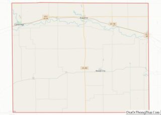
- Furnas
- Gage
- Garden
- Garfield
- Gosper
- Grant
- Greeley
- Hall
- Hamilton
- Harlan
- Hayes
- Hitchcock
- Holt
- Hooker
- Howard
- Jefferson
- Johnson
- Kearney
- Keith
- Keya Paha
- Kimball
- Knox
- Lancaster
- Lincoln
- Logan
- Loup
- Madison
- McPherson
- Merrick
- Morrill
- Nance
- Nemaha
- Nuckolls
- Otoe
- Pawnee
- Perkins
- Phelps
- Pierce
- Platte
- Polk
- Red Willow
- Richardson
- Rock
- Saline
- Sarpy
- Saunders
- Scotts Bluff
- Seward
- Sheridan
- Sherman
- Sioux
- Stanton
- Thayer
- Thomas
- Thurston
- Valley
- Washington
- Wayne
- Webster
- Wheeler
- York
- Alabama
- Alaska
- Arizona
- Arkansas
- California
- Colorado
- Connecticut
- Delaware
- District of Columbia
- Florida
- Georgia
- Hawaii
- Idaho
- Illinois
- Indiana
- Iowa
- Kansas
- Kentucky
- Louisiana
- Maine
- Maryland
- Massachusetts
- Michigan
- Minnesota
- Mississippi
- Missouri
- Montana
- Nebraska
- Nevada
- New Hampshire
- New Jersey
- New Mexico
- New York
- North Carolina
- North Dakota
- Ohio
- Oklahoma
- Oregon
- Pennsylvania
- Rhode Island
- South Carolina
- South Dakota
- Tennessee
- Texas
- Utah
- Vermont
- Virginia
- Washington
- West Virginia
- Wisconsin
- Wyoming