Beaver Crossing is a village in Seward County, Nebraska, United States. The population was 403 at the 2010 census.
| Name: | Beaver Crossing village |
|---|---|
| LSAD Code: | 47 |
| LSAD Description: | village (suffix) |
| State: | Nebraska |
| County: | Seward County |
| Elevation: | 1,467 ft (447 m) |
| Total Area: | 0.66 sq mi (1.71 km²) |
| Land Area: | 0.66 sq mi (1.70 km²) |
| Water Area: | 0.01 sq mi (0.02 km²) |
| Total Population: | 375 |
| Population Density: | 572.52/sq mi (220.95/km²) |
| Area code: | 402 |
| FIPS code: | 3103530 |
| GNISfeature ID: | 0827258 |
Online Interactive Map
Click on ![]() to view map in "full screen" mode.
to view map in "full screen" mode.
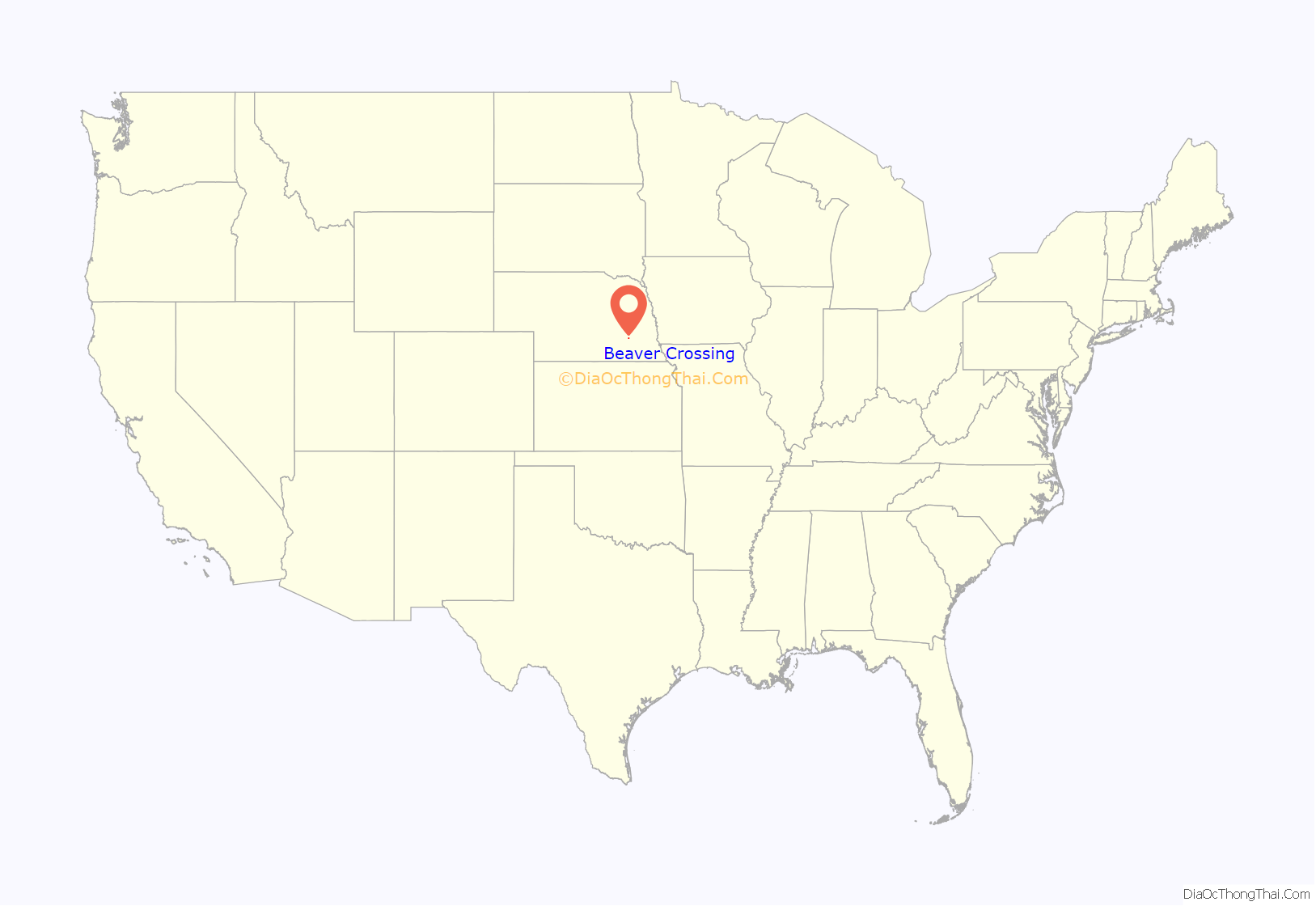
Beaver Crossing location map. Where is Beaver Crossing village?
History
Beaver Crossing was platted in 1875 in anticipation of the building of the railroad which, to the town’s dismay, would not arrive until 1887. It was named from a nearby crossing of the Overland Trail over Beaver Creek.
On May 11, 2014, a powerful EF3 tornado struck Beaver Crossing, damaging virtually every structure. The tornado also caused damage in nearby Cordova. Despite the significant damage, there were no fatalities.
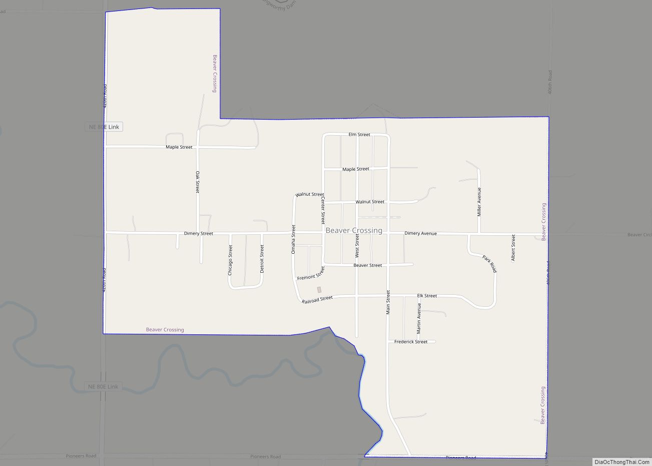
Beaver Crossing Road Map
Beaver Crossing city Satellite Map
Geography
Beaver Crossing is located at 40°46′44″N 97°16′56″W / 40.77889°N 97.28222°W / 40.77889; -97.28222 (40.778776, -97.282219).
According to the United States Census Bureau, the village has a total area of 0.67 square miles (1.74 km), of which 0.66 square miles (1.71 km) is land and 0.01 square miles (0.03 km) is water.
See also
Map of Nebraska State and its subdivision:- Adams
- Antelope
- Arthur
- Banner
- Blaine
- Boone
- Box Butte
- Boyd
- Brown
- Buffalo
- Burt
- Butler
- Cass
- Cedar
- Chase
- Cherry
- Cheyenne
- Clay
- Colfax
- Cuming
- Custer
- Dakota
- Dawes
- Dawson
- Deuel
- Dixon
- Dodge
- Douglas
- Dundy
- Fillmore
- Franklin
- Frontier
- Furnas
- Gage
- Garden
- Garfield
- Gosper
- Grant
- Greeley
- Hall
- Hamilton
- Harlan
- Hayes
- Hitchcock
- Holt
- Hooker
- Howard
- Jefferson
- Johnson
- Kearney
- Keith
- Keya Paha
- Kimball
- Knox
- Lancaster
- Lincoln
- Logan
- Loup
- Madison
- McPherson
- Merrick
- Morrill
- Nance
- Nemaha
- Nuckolls
- Otoe
- Pawnee
- Perkins
- Phelps
- Pierce
- Platte
- Polk
- Red Willow
- Richardson
- Rock
- Saline
- Sarpy
- Saunders
- Scotts Bluff
- Seward
- Sheridan
- Sherman
- Sioux
- Stanton
- Thayer
- Thomas
- Thurston
- Valley
- Washington
- Wayne
- Webster
- Wheeler
- York
- Alabama
- Alaska
- Arizona
- Arkansas
- California
- Colorado
- Connecticut
- Delaware
- District of Columbia
- Florida
- Georgia
- Hawaii
- Idaho
- Illinois
- Indiana
- Iowa
- Kansas
- Kentucky
- Louisiana
- Maine
- Maryland
- Massachusetts
- Michigan
- Minnesota
- Mississippi
- Missouri
- Montana
- Nebraska
- Nevada
- New Hampshire
- New Jersey
- New Mexico
- New York
- North Carolina
- North Dakota
- Ohio
- Oklahoma
- Oregon
- Pennsylvania
- Rhode Island
- South Carolina
- South Dakota
- Tennessee
- Texas
- Utah
- Vermont
- Virginia
- Washington
- West Virginia
- Wisconsin
- Wyoming
