Big Springs is a village in Deuel County, Nebraska, United States. The population was 400 at the 2010 census.
| Name: | Big Springs village |
|---|---|
| LSAD Code: | 47 |
| LSAD Description: | village (suffix) |
| State: | Nebraska |
| County: | Deuel County |
| Elevation: | 3,373 ft (1,028 m) |
| Total Area: | 0.44 sq mi (1.15 km²) |
| Land Area: | 0.44 sq mi (1.15 km²) |
| Water Area: | 0.00 sq mi (0.00 km²) |
| Total Population: | 394 |
| Population Density: | 889.39/sq mi (343.38/km²) |
| ZIP code: | 69122 |
| Area code: | 308 |
| FIPS code: | 3104895 |
| GNISfeature ID: | 0827434 |
Online Interactive Map
Click on ![]() to view map in "full screen" mode.
to view map in "full screen" mode.
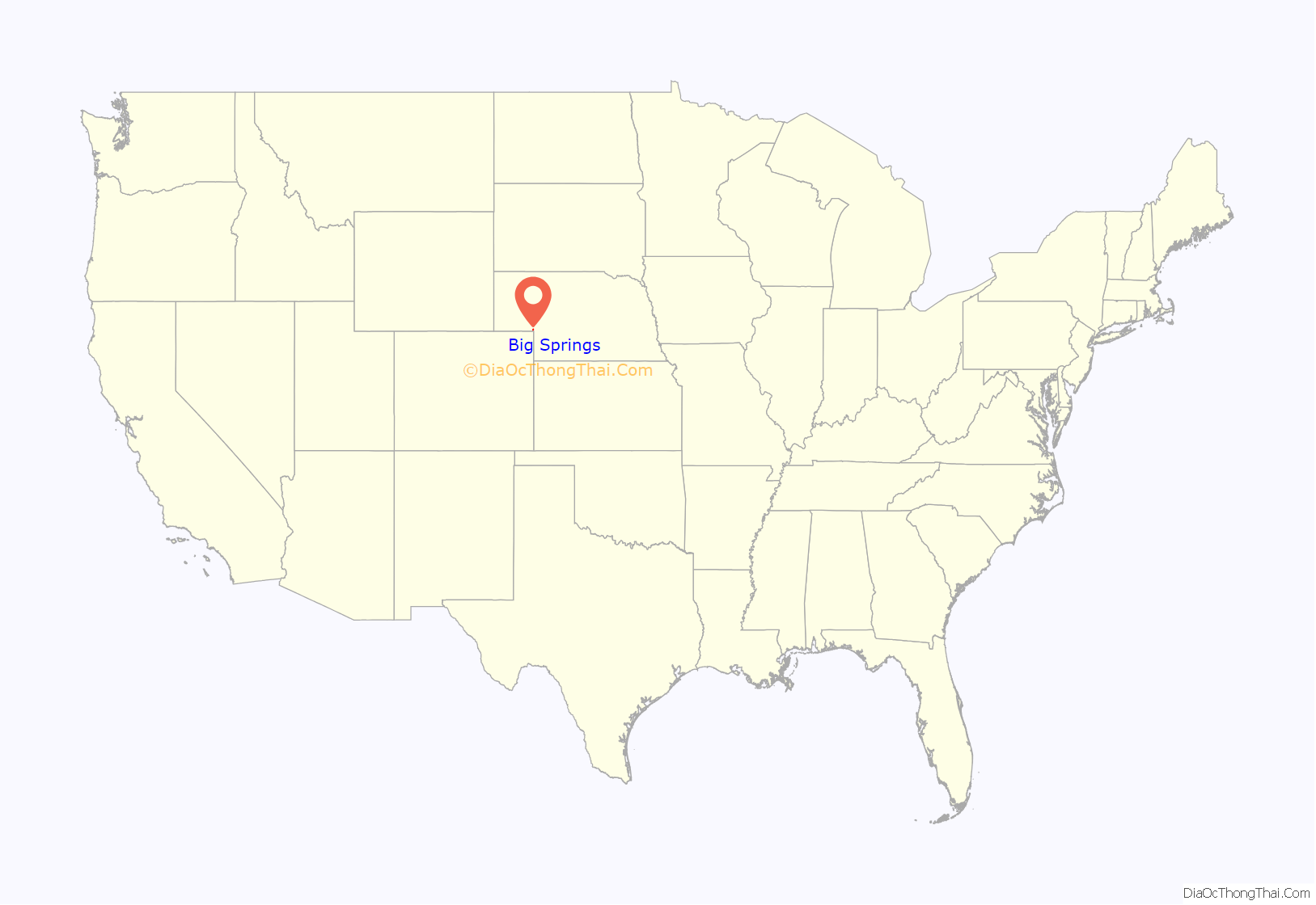
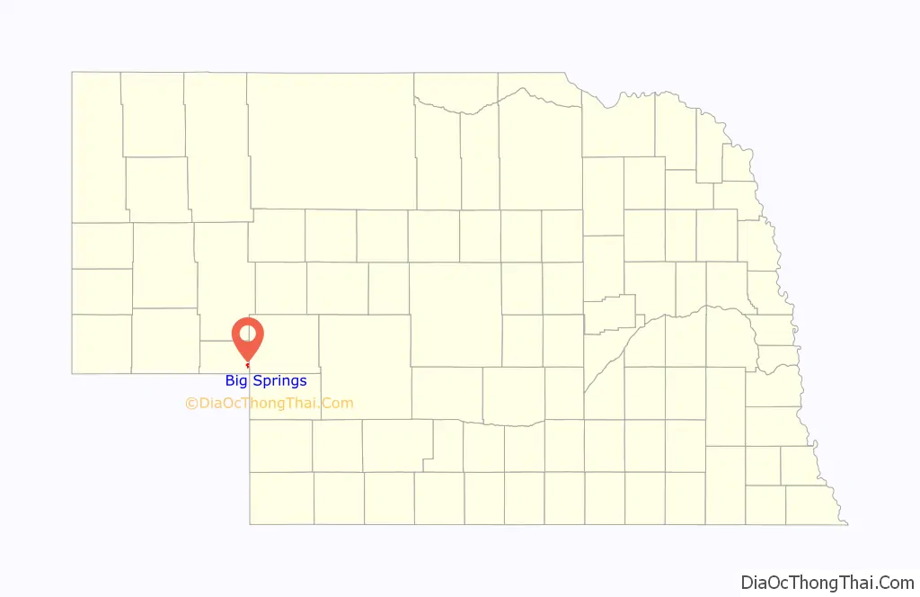
Big Springs location map. Where is Big Springs village?
History
The first name of the settlement was “Lone Tree”, after a large cottonwood tree standing alone on the prairie near the town. It was believed to be over 100 years old at the time of first settlement and could be seen by riders on the Pony Express and travelers on the Oregon Trail. Sam Bass’s gang reportedly divided $60,000 in loot under the tree from an 1877 robbery of a Union Pacific train.
The railroad named this stop “Big Springs” in 1867. Spring water from near the track was used by steam locomotives until 1950.
Big Springs was platted in 1884, and named for the stream that runs through town. The Big Springs post office, established in 1884, was officially called Bigspring until 1943. The village of Big Springs was incorporated in 1917.
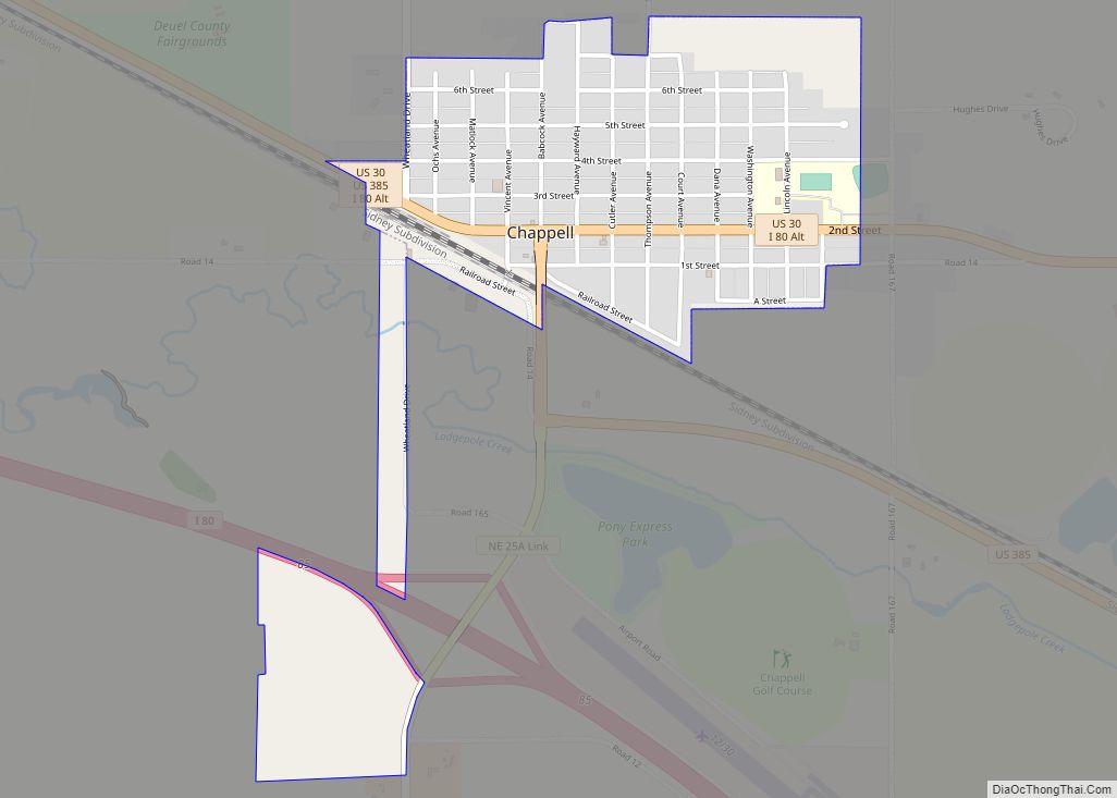
The county fair was held in Big Springs from 1889 to 1932. Chappell, the only other town in the county, became the county seat.
In 1884, the first church services were held by the Rev. E. E. Mount in the Phelps Hotel. The first church in the county, called Prospect Church, was a sod building constructed 9 miles (14 km) north of town in 1887.
In 1965, Duane Earl Pope robbed the Farmers State Bank in Big Springs, killing 3 people.
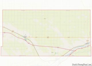
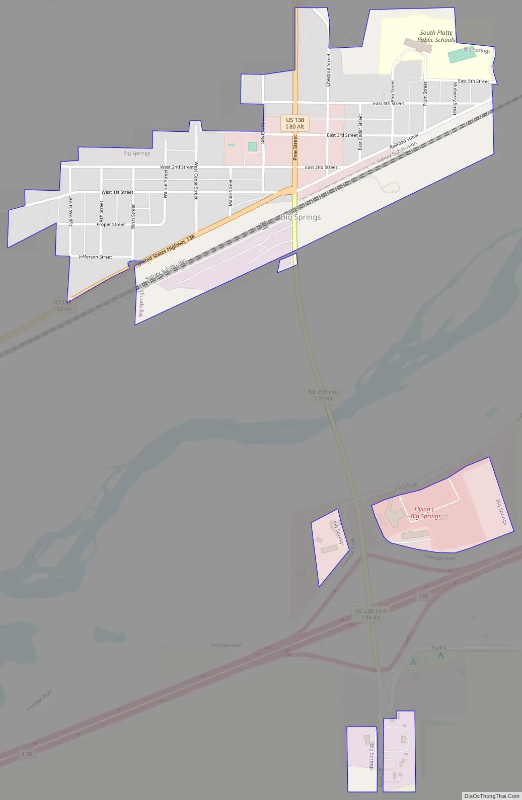
Big Springs Road Map
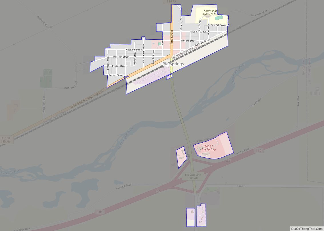
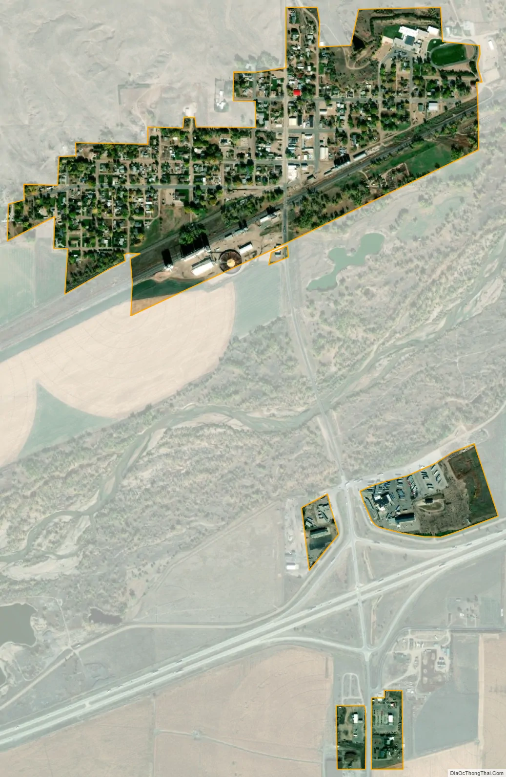
Big Springs city Satellite Map
Geography
Big Springs is located at 41°3′48″N 102°4′30″W / 41.06333°N 102.07500°W / 41.06333; -102.07500 (41.063399, -102.075111).
According to the United States Census Bureau, the village has a total area of 0.44 square miles (1.14 km), all land.
Interstate 76 intersects Interstate 80 near the village. U.S. Route 30, formerly known as the Lincoln Highway, intersects U.S. Route 138 approximately three miles to the north.
See also
Map of Nebraska State and its subdivision:- Adams
- Antelope
- Arthur
- Banner
- Blaine
- Boone
- Box Butte
- Boyd
- Brown
- Buffalo
- Burt
- Butler
- Cass
- Cedar
- Chase
- Cherry
- Cheyenne
- Clay
- Colfax
- Cuming
- Custer
- Dakota
- Dawes
- Dawson
- Deuel
- Dixon
- Dodge
- Douglas
- Dundy
- Fillmore
- Franklin
- Frontier
- Furnas
- Gage
- Garden
- Garfield
- Gosper
- Grant
- Greeley
- Hall
- Hamilton
- Harlan
- Hayes
- Hitchcock
- Holt
- Hooker
- Howard
- Jefferson
- Johnson
- Kearney
- Keith
- Keya Paha
- Kimball
- Knox
- Lancaster
- Lincoln
- Logan
- Loup
- Madison
- McPherson
- Merrick
- Morrill
- Nance
- Nemaha
- Nuckolls
- Otoe
- Pawnee
- Perkins
- Phelps
- Pierce
- Platte
- Polk
- Red Willow
- Richardson
- Rock
- Saline
- Sarpy
- Saunders
- Scotts Bluff
- Seward
- Sheridan
- Sherman
- Sioux
- Stanton
- Thayer
- Thomas
- Thurston
- Valley
- Washington
- Wayne
- Webster
- Wheeler
- York
- Alabama
- Alaska
- Arizona
- Arkansas
- California
- Colorado
- Connecticut
- Delaware
- District of Columbia
- Florida
- Georgia
- Hawaii
- Idaho
- Illinois
- Indiana
- Iowa
- Kansas
- Kentucky
- Louisiana
- Maine
- Maryland
- Massachusetts
- Michigan
- Minnesota
- Mississippi
- Missouri
- Montana
- Nebraska
- Nevada
- New Hampshire
- New Jersey
- New Mexico
- New York
- North Carolina
- North Dakota
- Ohio
- Oklahoma
- Oregon
- Pennsylvania
- Rhode Island
- South Carolina
- South Dakota
- Tennessee
- Texas
- Utah
- Vermont
- Virginia
- Washington
- West Virginia
- Wisconsin
- Wyoming