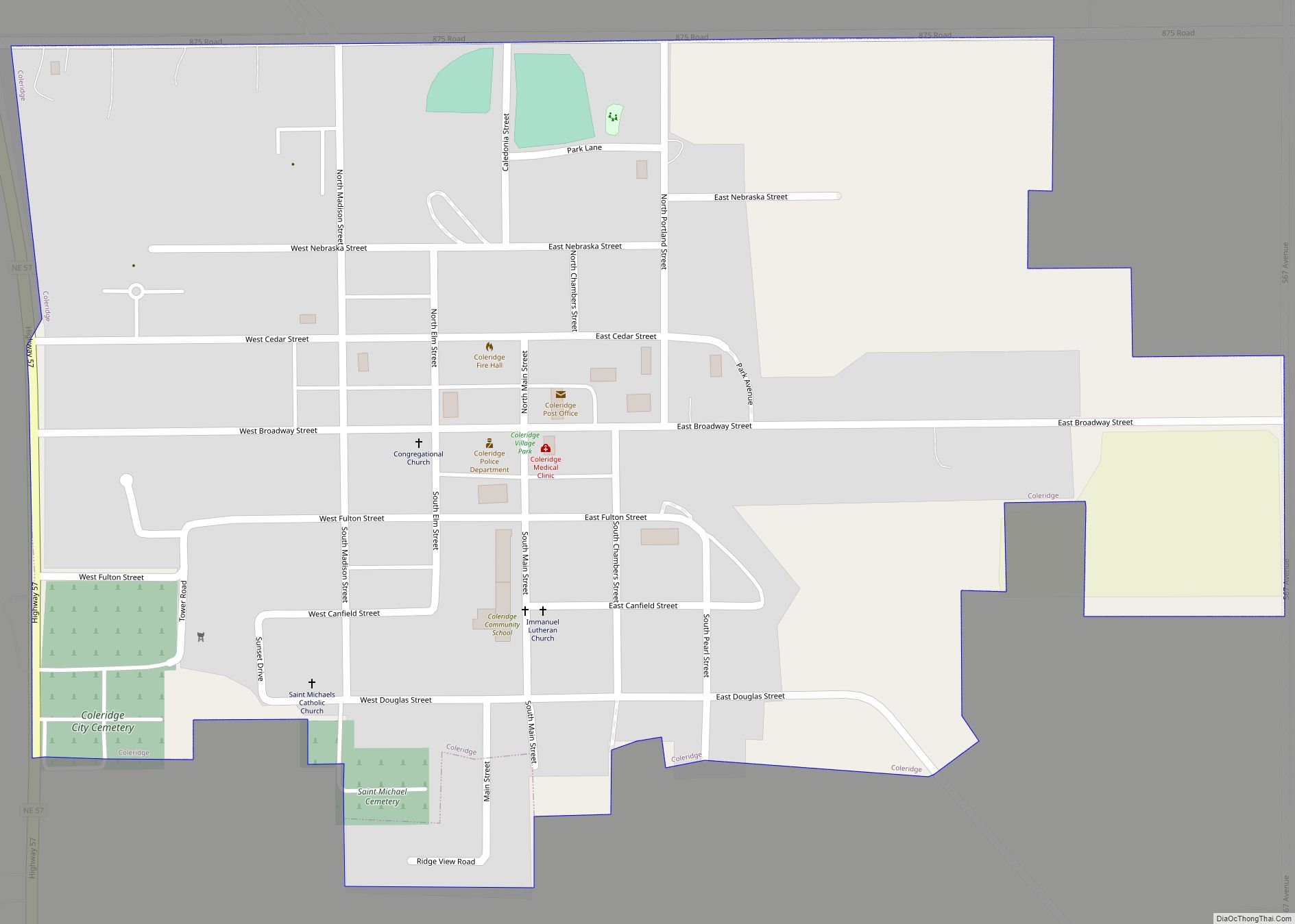
Coleridge is a village in Cedar County, Nebraska, United States. The population was 537 at the 2020 census.
| Name: | Coleridge village |
|---|---|
| LSAD Code: | 47 |
| LSAD Description: | village (suffix) |
| State: | Nebraska |
| County: | Cedar County |
| Elevation: | 1,558 ft (475 m) |
| Total Area: | 0.51 sq mi (1.32 km²) |
| Land Area: | 0.51 sq mi (1.32 km²) |
| Water Area: | 0.00 sq mi (0.00 km²) |
| Total Population: | 537 |
| Population Density: | 1,100/sq mi (410/km²) |
| ZIP code: | 68727 |
| Area code: | 402 |
| FIPS code: | 3109865 |
| GNISfeature ID: | 0828259 |
| Website: | coleridge-ne.com |
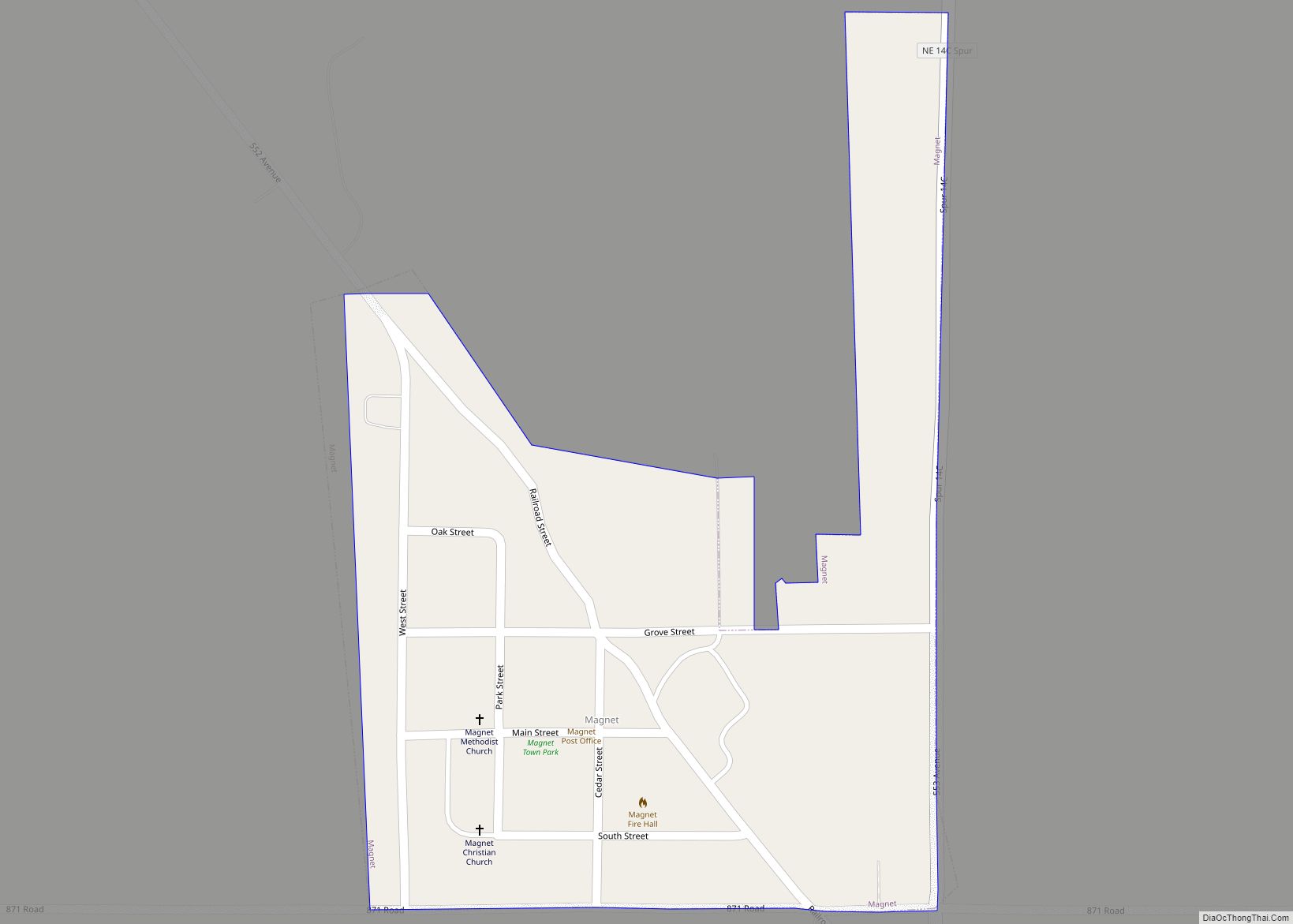
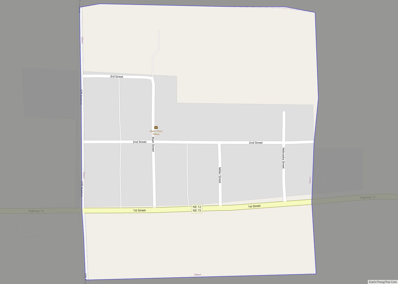
Online Interactive Map
Click on ![]() to view map in "full screen" mode.
to view map in "full screen" mode.
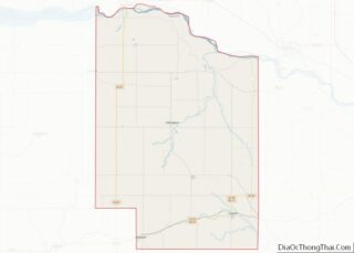
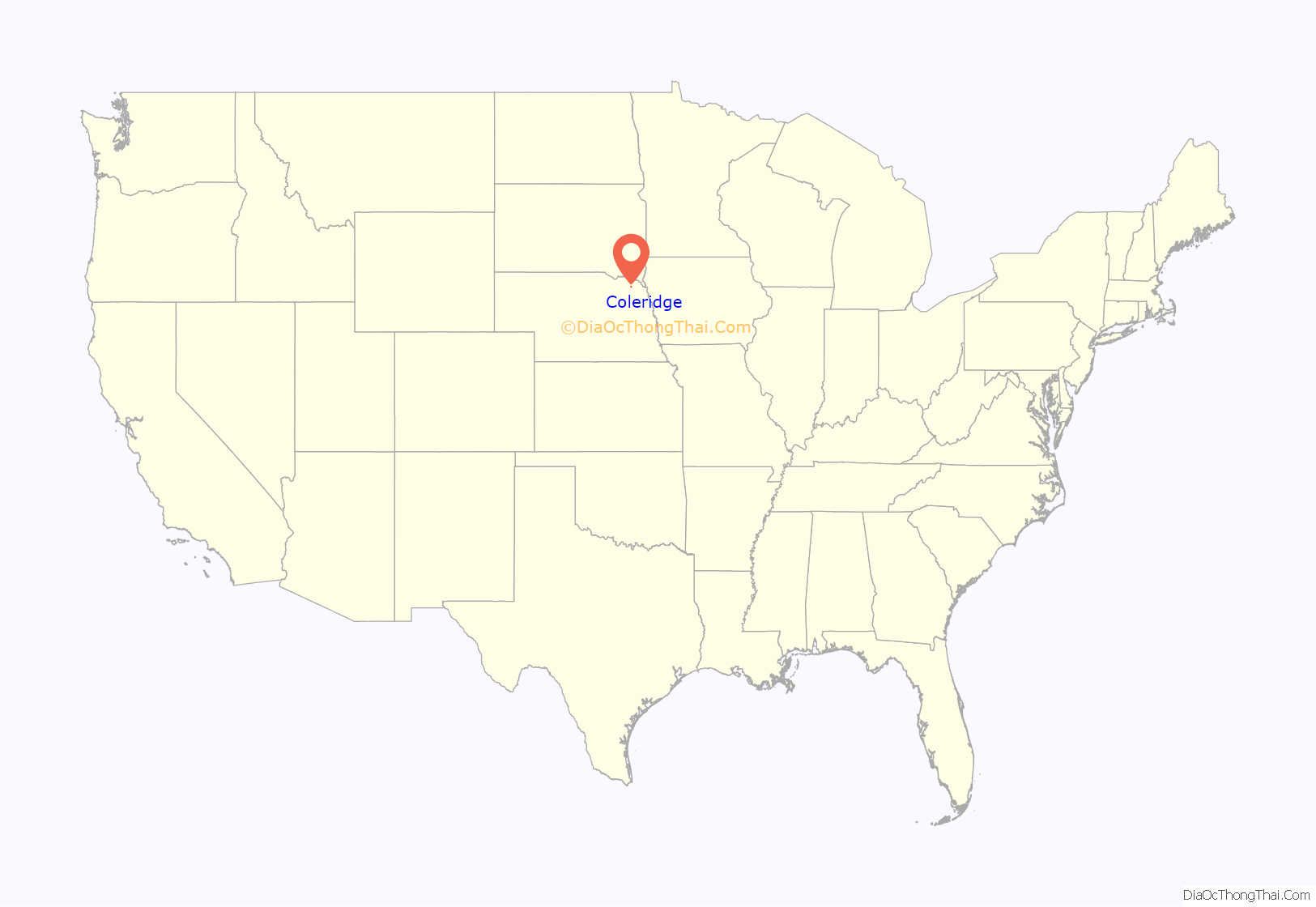
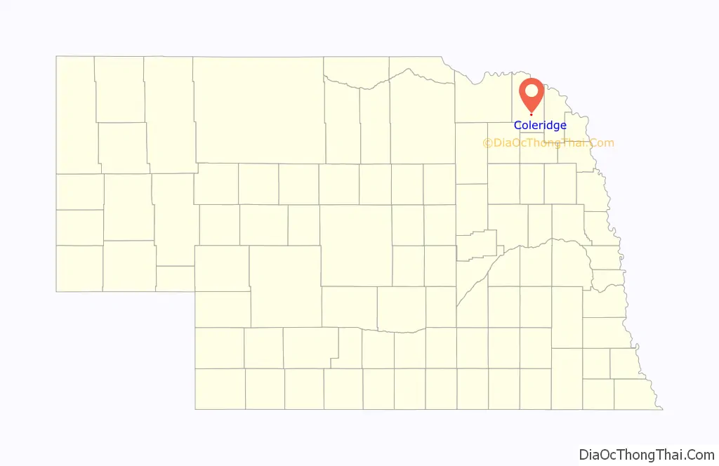
Coleridge location map. Where is Coleridge village?
History
Coleridge was platted in 1883 when the railroad was extended to that point. It was named for Lord John Coleridge, the Lord Chief Justice of England, who was then paying a visit to the United States.
Mr. Norris and the Chicago, St. Paul, Minneapolis & Omaha Railway failed to reach agreement for a right of way through his town of Norris in 1883. Thus, the railroad was built two miles west of Norris, and lots began selling in what would become the town of Coleridge, approximately three miles west and one mile north of Norris. By early 1885, many of Norris’ businesses had moved to Coleridge. A Cedar County Plat Map (2) showed Norris still having 16 lots at its original location in 1899. The Norris School (District 30), organized March 16, 1880, was dissolved and merged with Coleridge District 41 in 1959. The Norris Cemetery is located outside of Coleridge, one mile east and ¾ mile north of the former city of Norris.
On June 23, 2003 on the 2003 South Dakota tornado outbreak, a devastating F4 tornado damaged or destroyed several homes and farms, unfortunately 1 person was killed. This F4 is overshadowed by the Manchester F4 of the same day.
During the late afternoon on June 17, 2014, a massive EF3 tornado clipped the edge of town. A scoreboard and bleachers were swept away, and trees and power lines were blown down. No casualties were reported.
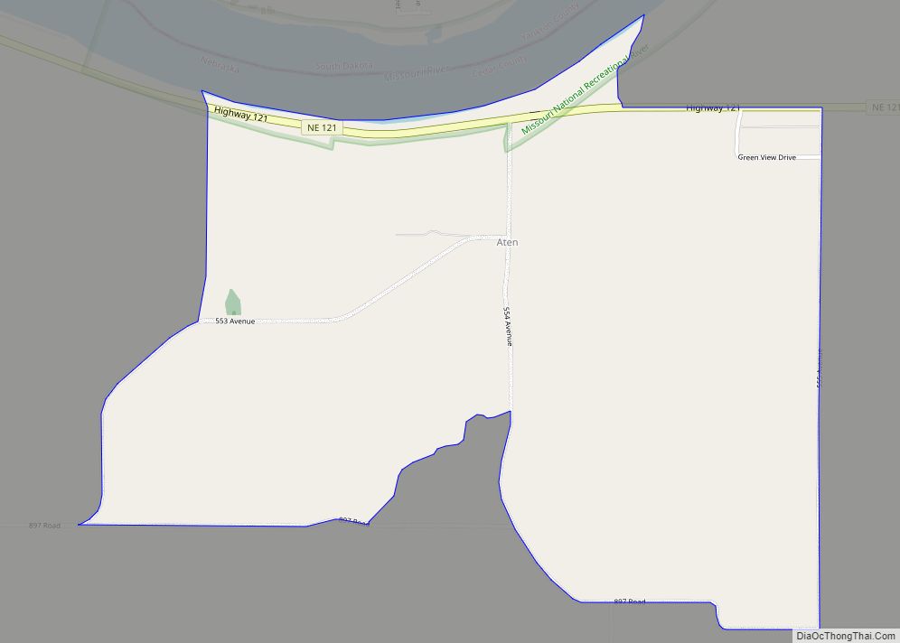
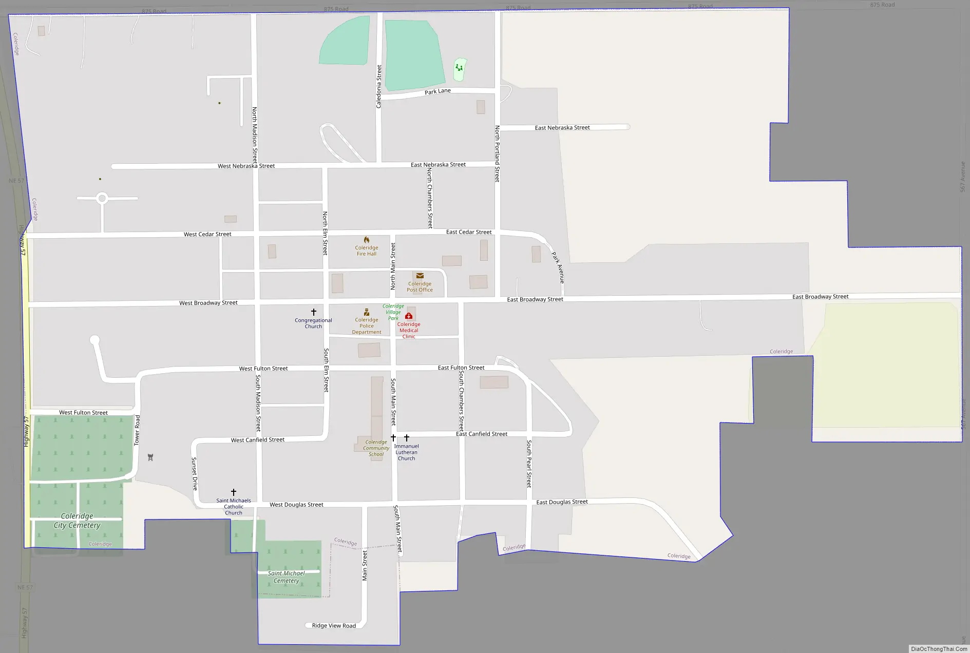
Coleridge Road Map
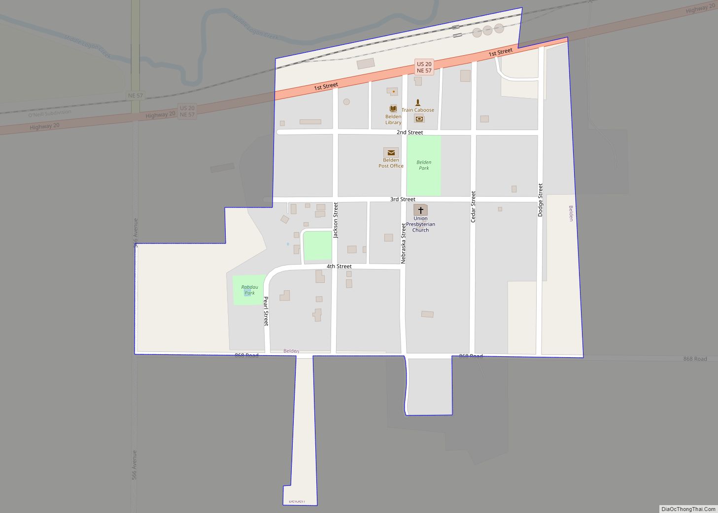
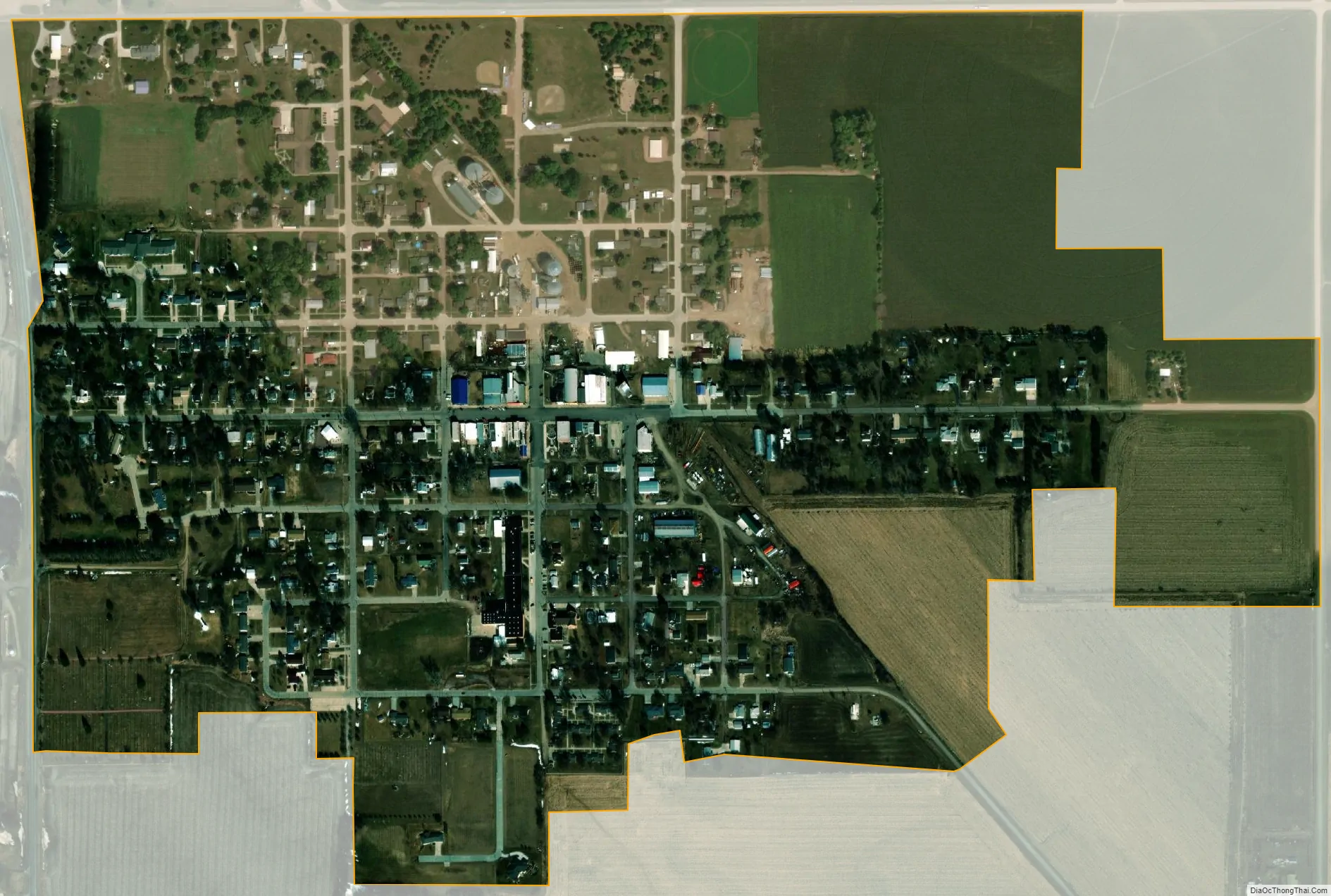
Coleridge city Satellite Map
Geography
Coleridge is located at 42°30′20″N 97°12′16″W / 42.50556°N 97.20444°W / 42.50556; -97.20444 (42.505675, −97.204419). According to the United States Census Bureau, the village has a total area of 0.51 square miles (1.32 km), all land.
See also
Map of Nebraska State and its subdivision:- Adams
- Antelope
- Arthur
- Banner
- Blaine
- Boone
- Box Butte
- Boyd
- Brown
- Buffalo
- Burt
- Butler
- Cass
- Cedar
- Chase
- Cherry
- Cheyenne
- Clay
- Colfax
- Cuming
- Custer
- Dakota
- Dawes
- Dawson
- Deuel
- Dixon
- Dodge
- Douglas
- Dundy
- Fillmore
- Franklin
- Frontier
- Furnas
- Gage
- Garden
- Garfield
- Gosper
- Grant
- Greeley
- Hall
- Hamilton
- Harlan
- Hayes
- Hitchcock
- Holt
- Hooker
- Howard
- Jefferson
- Johnson
- Kearney
- Keith
- Keya Paha
- Kimball
- Knox
- Lancaster
- Lincoln
- Logan
- Loup
- Madison
- McPherson
- Merrick
- Morrill
- Nance
- Nemaha
- Nuckolls
- Otoe
- Pawnee
- Perkins
- Phelps
- Pierce
- Platte
- Polk
- Red Willow
- Richardson
- Rock
- Saline
- Sarpy
- Saunders
- Scotts Bluff
- Seward
- Sheridan
- Sherman
- Sioux
- Stanton
- Thayer
- Thomas
- Thurston
- Valley
- Washington
- Wayne
- Webster
- Wheeler
- York
- Alabama
- Alaska
- Arizona
- Arkansas
- California
- Colorado
- Connecticut
- Delaware
- District of Columbia
- Florida
- Georgia
- Hawaii
- Idaho
- Illinois
- Indiana
- Iowa
- Kansas
- Kentucky
- Louisiana
- Maine
- Maryland
- Massachusetts
- Michigan
- Minnesota
- Mississippi
- Missouri
- Montana
- Nebraska
- Nevada
- New Hampshire
- New Jersey
- New Mexico
- New York
- North Carolina
- North Dakota
- Ohio
- Oklahoma
- Oregon
- Pennsylvania
- Rhode Island
- South Carolina
- South Dakota
- Tennessee
- Texas
- Utah
- Vermont
- Virginia
- Washington
- West Virginia
- Wisconsin
- Wyoming