Dix is a village in Kimball County, Nebraska, United States. The population was 255 at the 2010 census.
| Name: | Dix village |
|---|---|
| LSAD Code: | 47 |
| LSAD Description: | village (suffix) |
| State: | Nebraska |
| County: | Kimball County |
| Elevation: | 4,551 ft (1,387 m) |
| Total Area: | 0.22 sq mi (0.57 km²) |
| Land Area: | 0.22 sq mi (0.57 km²) |
| Water Area: | 0.00 sq mi (0.00 km²) |
| Total Population: | 187 |
| Population Density: | 850.00/sq mi (328.45/km²) |
| ZIP code: | 69133 |
| Area code: | 308 |
| FIPS code: | 3113190 |
| GNISfeature ID: | 0828736 |
Online Interactive Map
Click on ![]() to view map in "full screen" mode.
to view map in "full screen" mode.
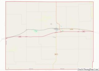
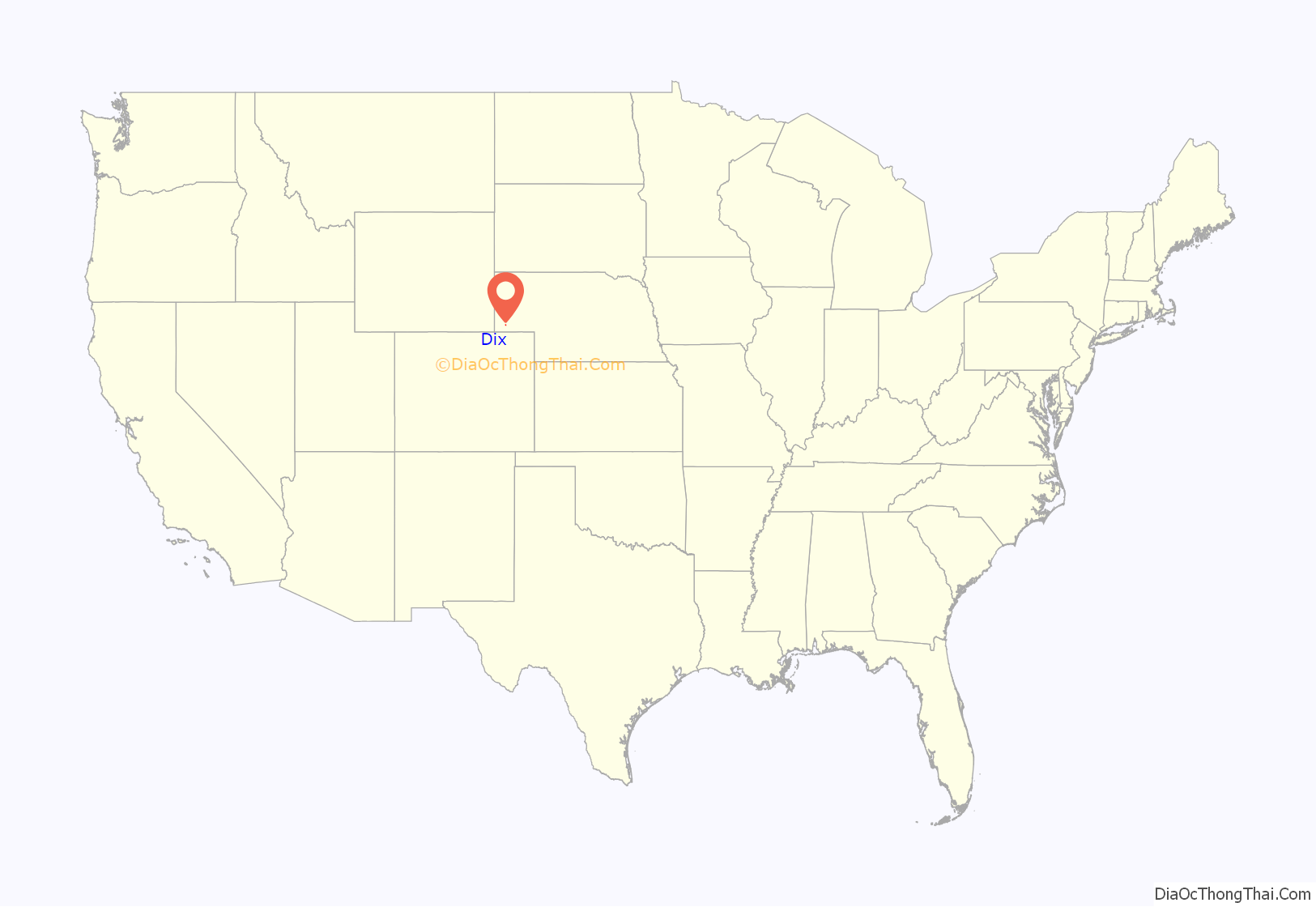
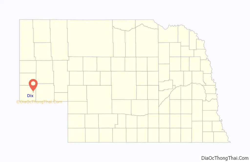
Dix location map. Where is Dix village?
History
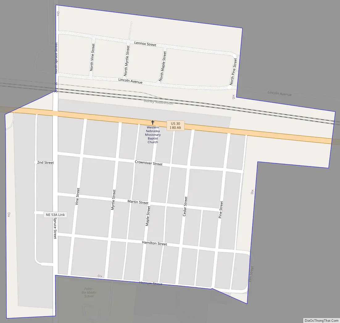
Originally a siding on the Union Pacific Railroad, Dix was founded as a settlement in 1886. The community derives its name from Dixon, Illinois, the former home of an early settler. However, it was deemed necessary to shorten the name to “Dix”, in order to avoid repetition with Dixon. State highway 30 runs through Dix, and in 1995 was changed from “Main” street to “Miller” street (within the city limits of Dix). This was done in honor of Fred H. Miller, who worked for the Union Pacific for 30 years and ran the town’s train depot. The train depot was dismantled after Fred’s retirement. Fred also served on the town board, and lived two blocks away from the depot next to the city park with his wife Ada B. Miller. Their memorial stone is located in the graveyard south of town, near Interstate 80.
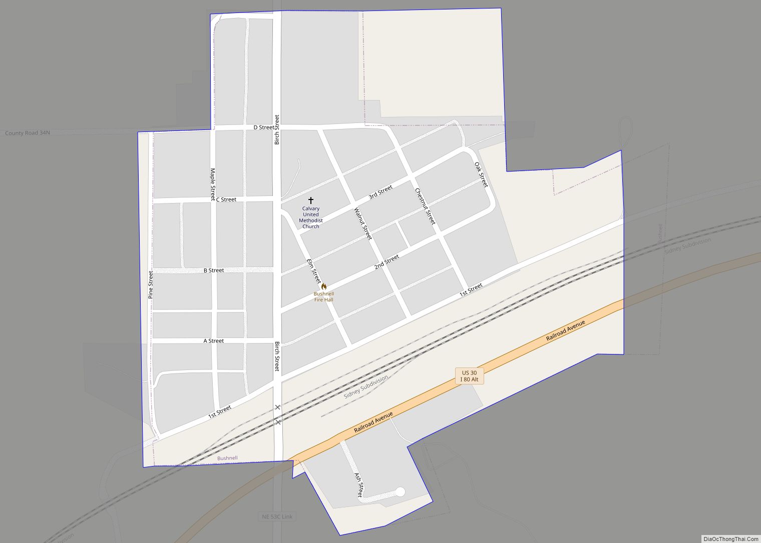
Dix Road Map
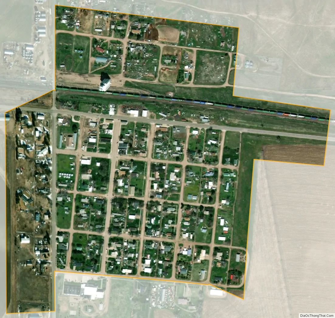
Dix city Satellite Map
Geography
Dix is located at 41°14′1″N 103°29′13″W / 41.23361°N 103.48694°W / 41.23361; -103.48694 (41.233720, -103.486904).
According to the United States Census Bureau, the village has a total area of 0.22 square miles (0.57 km), all land.
See also
Map of Nebraska State and its subdivision:- Adams
- Antelope
- Arthur
- Banner
- Blaine
- Boone
- Box Butte
- Boyd
- Brown
- Buffalo
- Burt
- Butler
- Cass
- Cedar
- Chase
- Cherry
- Cheyenne
- Clay
- Colfax
- Cuming
- Custer
- Dakota
- Dawes
- Dawson
- Deuel
- Dixon
- Dodge
- Douglas
- Dundy
- Fillmore
- Franklin
- Frontier
- Furnas
- Gage
- Garden
- Garfield
- Gosper
- Grant
- Greeley
- Hall
- Hamilton
- Harlan
- Hayes
- Hitchcock
- Holt
- Hooker
- Howard
- Jefferson
- Johnson
- Kearney
- Keith
- Keya Paha
- Kimball
- Knox
- Lancaster
- Lincoln
- Logan
- Loup
- Madison
- McPherson
- Merrick
- Morrill
- Nance
- Nemaha
- Nuckolls
- Otoe
- Pawnee
- Perkins
- Phelps
- Pierce
- Platte
- Polk
- Red Willow
- Richardson
- Rock
- Saline
- Sarpy
- Saunders
- Scotts Bluff
- Seward
- Sheridan
- Sherman
- Sioux
- Stanton
- Thayer
- Thomas
- Thurston
- Valley
- Washington
- Wayne
- Webster
- Wheeler
- York
- Alabama
- Alaska
- Arizona
- Arkansas
- California
- Colorado
- Connecticut
- Delaware
- District of Columbia
- Florida
- Georgia
- Hawaii
- Idaho
- Illinois
- Indiana
- Iowa
- Kansas
- Kentucky
- Louisiana
- Maine
- Maryland
- Massachusetts
- Michigan
- Minnesota
- Mississippi
- Missouri
- Montana
- Nebraska
- Nevada
- New Hampshire
- New Jersey
- New Mexico
- New York
- North Carolina
- North Dakota
- Ohio
- Oklahoma
- Oregon
- Pennsylvania
- Rhode Island
- South Carolina
- South Dakota
- Tennessee
- Texas
- Utah
- Vermont
- Virginia
- Washington
- West Virginia
- Wisconsin
- Wyoming