Ericson is a village in Wheeler County, Nebraska, United States. The population was 92 at the 2010 census.
| Name: | Ericson village |
|---|---|
| LSAD Code: | 47 |
| LSAD Description: | village (suffix) |
| State: | Nebraska |
| County: | Wheeler County |
| Elevation: | 2,028 ft (618 m) |
| Total Area: | 0.38 sq mi (0.97 km²) |
| Land Area: | 0.38 sq mi (0.97 km²) |
| Water Area: | 0.00 sq mi (0.00 km²) |
| Total Population: | 89 |
| Population Density: | 237.33/sq mi (91.70/km²) |
| ZIP code: | 68637 |
| Area code: | 308 |
| FIPS code: | 3116025 |
| GNISfeature ID: | 0829146 |
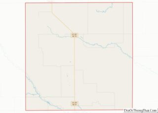
Online Interactive Map
Click on ![]() to view map in "full screen" mode.
to view map in "full screen" mode.
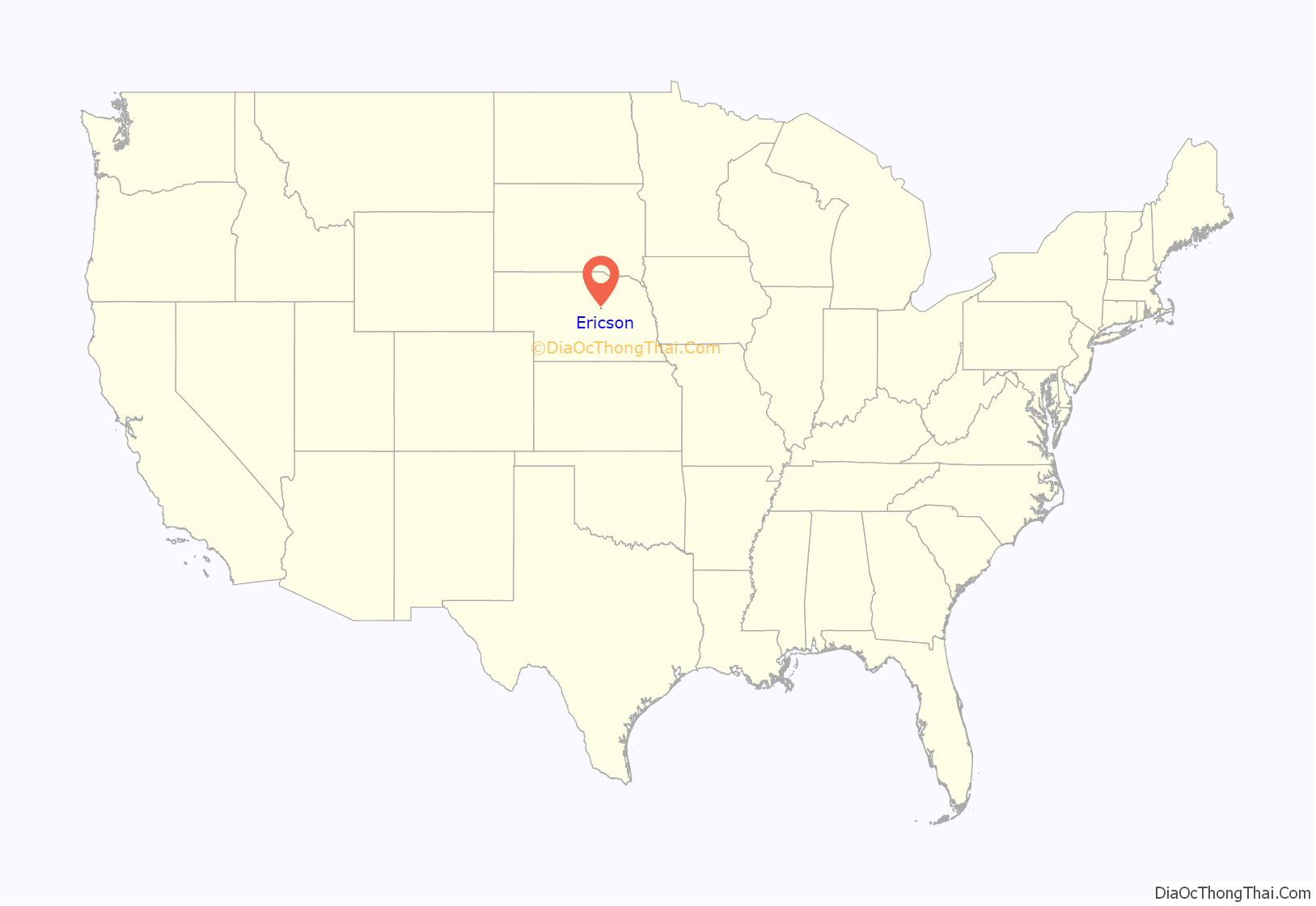
Ericson location map. Where is Ericson village?
History
Ericson was platted in 1886 by the C.B.& Q. railroad when the railroad’s line to Greeley was extended to that location. It was named for Christensen Erickson, the original owner of the town site. The town grew slowly, and the first depot agent, named Dahl, also bought grain, sold coal, and took over the store being run by Peter Erickson, to keep the town viable.
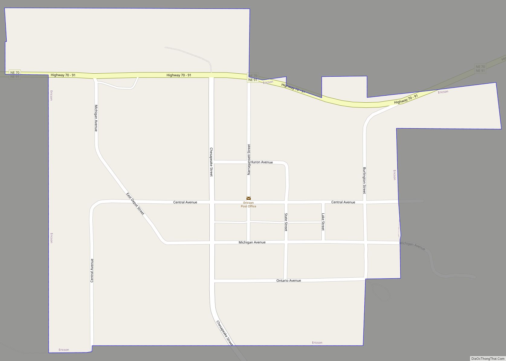
Ericson Road Map
Ericson city Satellite Map
Geography
Ericson is located at 41°46′50″N 98°40′41″W / 41.780545°N 98.677970°W / 41.780545; -98.677970 (41.780545, -98.677970).
According to the United States Census Bureau, the village has a total area of 0.38 square miles (0.98 km), all land.
Climate
According to the Köppen Climate Classification system, Ericson has a hot-summer humid continental climate, abbreviated “Dfa” on climate maps. The hottest temperature recorded in Ericson was 111 °F (43.9 °C) on July 26, 2012, while the coldest temperature recorded was −35 °F (−37.2 °C) on February 15–16, 2021.
See also
Map of Nebraska State and its subdivision:- Adams
- Antelope
- Arthur
- Banner
- Blaine
- Boone
- Box Butte
- Boyd
- Brown
- Buffalo
- Burt
- Butler
- Cass
- Cedar
- Chase
- Cherry
- Cheyenne
- Clay
- Colfax
- Cuming
- Custer
- Dakota
- Dawes
- Dawson
- Deuel
- Dixon
- Dodge
- Douglas
- Dundy
- Fillmore
- Franklin
- Frontier
- Furnas
- Gage
- Garden
- Garfield
- Gosper
- Grant
- Greeley
- Hall
- Hamilton
- Harlan
- Hayes
- Hitchcock
- Holt
- Hooker
- Howard
- Jefferson
- Johnson
- Kearney
- Keith
- Keya Paha
- Kimball
- Knox
- Lancaster
- Lincoln
- Logan
- Loup
- Madison
- McPherson
- Merrick
- Morrill
- Nance
- Nemaha
- Nuckolls
- Otoe
- Pawnee
- Perkins
- Phelps
- Pierce
- Platte
- Polk
- Red Willow
- Richardson
- Rock
- Saline
- Sarpy
- Saunders
- Scotts Bluff
- Seward
- Sheridan
- Sherman
- Sioux
- Stanton
- Thayer
- Thomas
- Thurston
- Valley
- Washington
- Wayne
- Webster
- Wheeler
- York
- Alabama
- Alaska
- Arizona
- Arkansas
- California
- Colorado
- Connecticut
- Delaware
- District of Columbia
- Florida
- Georgia
- Hawaii
- Idaho
- Illinois
- Indiana
- Iowa
- Kansas
- Kentucky
- Louisiana
- Maine
- Maryland
- Massachusetts
- Michigan
- Minnesota
- Mississippi
- Missouri
- Montana
- Nebraska
- Nevada
- New Hampshire
- New Jersey
- New Mexico
- New York
- North Carolina
- North Dakota
- Ohio
- Oklahoma
- Oregon
- Pennsylvania
- Rhode Island
- South Carolina
- South Dakota
- Tennessee
- Texas
- Utah
- Vermont
- Virginia
- Washington
- West Virginia
- Wisconsin
- Wyoming


