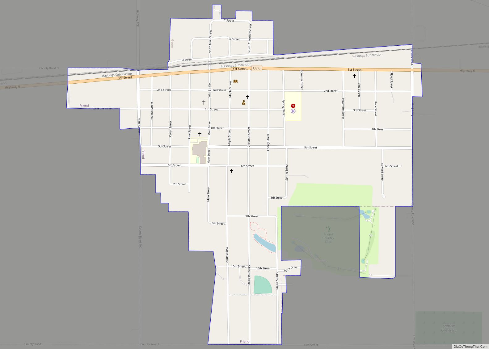
Friend is a city in Saline County, Nebraska, United States. As of the 2020 census, the city population was 954.
| Name: | Friend city |
|---|---|
| LSAD Code: | 25 |
| LSAD Description: | city (suffix) |
| State: | Nebraska |
| County: | Saline County |
| Elevation: | 1,558 ft (475 m) |
| Total Area: | 0.83 sq mi (2.14 km²) |
| Land Area: | 0.83 sq mi (2.14 km²) |
| Water Area: | 0.00 sq mi (0.00 km²) |
| Total Population: | 954 |
| Population Density: | 1,153.57/sq mi (445.38/km²) |
| ZIP code: | 68359 |
| Area code: | 402 |
| FIPS code: | 3117775 |
| GNISfeature ID: | 2394827 |
| Website: | http://www.ci.friend.ne.us/ |
Online Interactive Map
Click on ![]() to view map in "full screen" mode.
to view map in "full screen" mode.
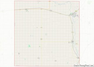
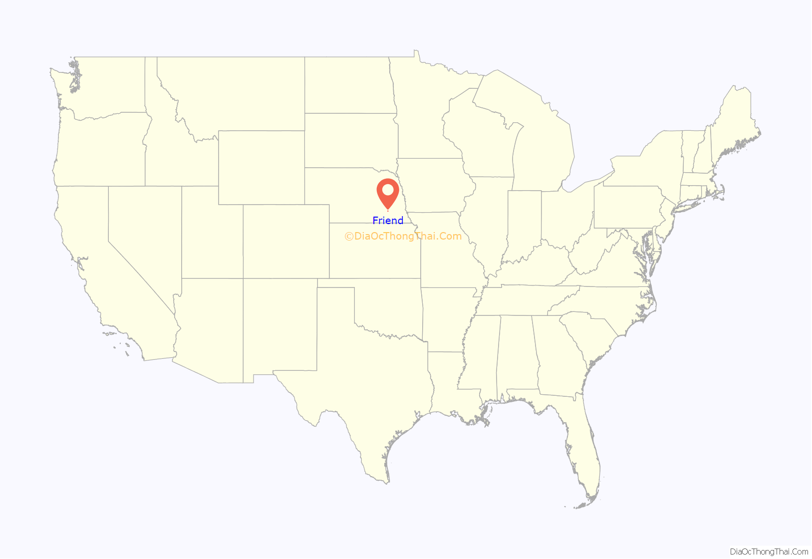
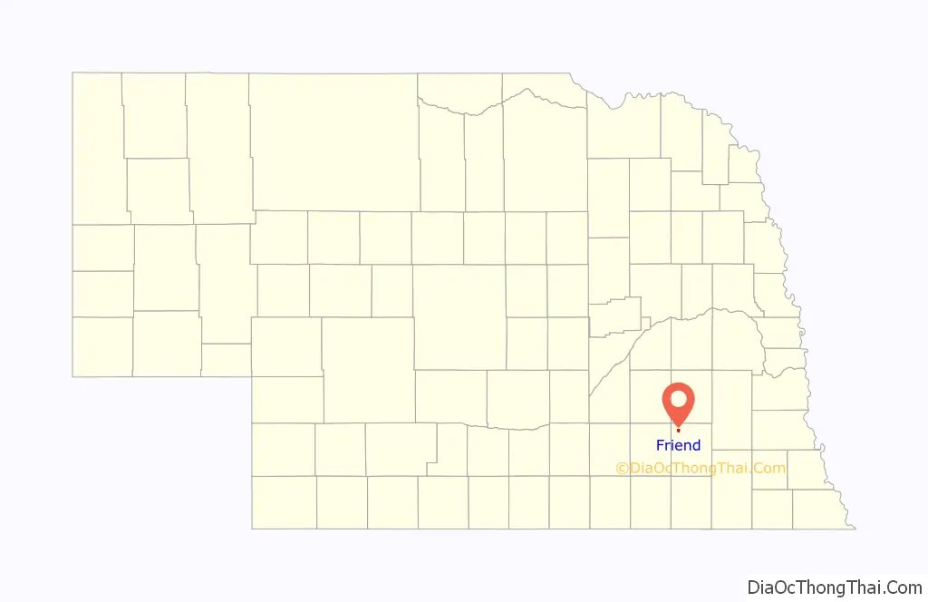
Friend location map. Where is Friend city?
History
The city is named for Charles E. Friend who homesteaded the land and initially named the community Friendville. He operated a dry goods store and post office. In 1873 the Burlington and Missouri River Railroad named its new train station there “Friend.”
The National Greyhound Association was founded in the community in 1906 (called at the time National Coursing Association).
The Friend Police Department, which was initially housed in a tool shed during construction of U.S. Route 6, was reported to be the smallest police station in the world according to Ripley’s Believe It or Not. In the 1960s, the shed doubled in size so the Nebraska State Patrol could also be stationed there to issue traffic citations and make arrests. Friend still claims to have the smallest combined police station. It was torn down in 2015 & replaced with a neon Friend sign
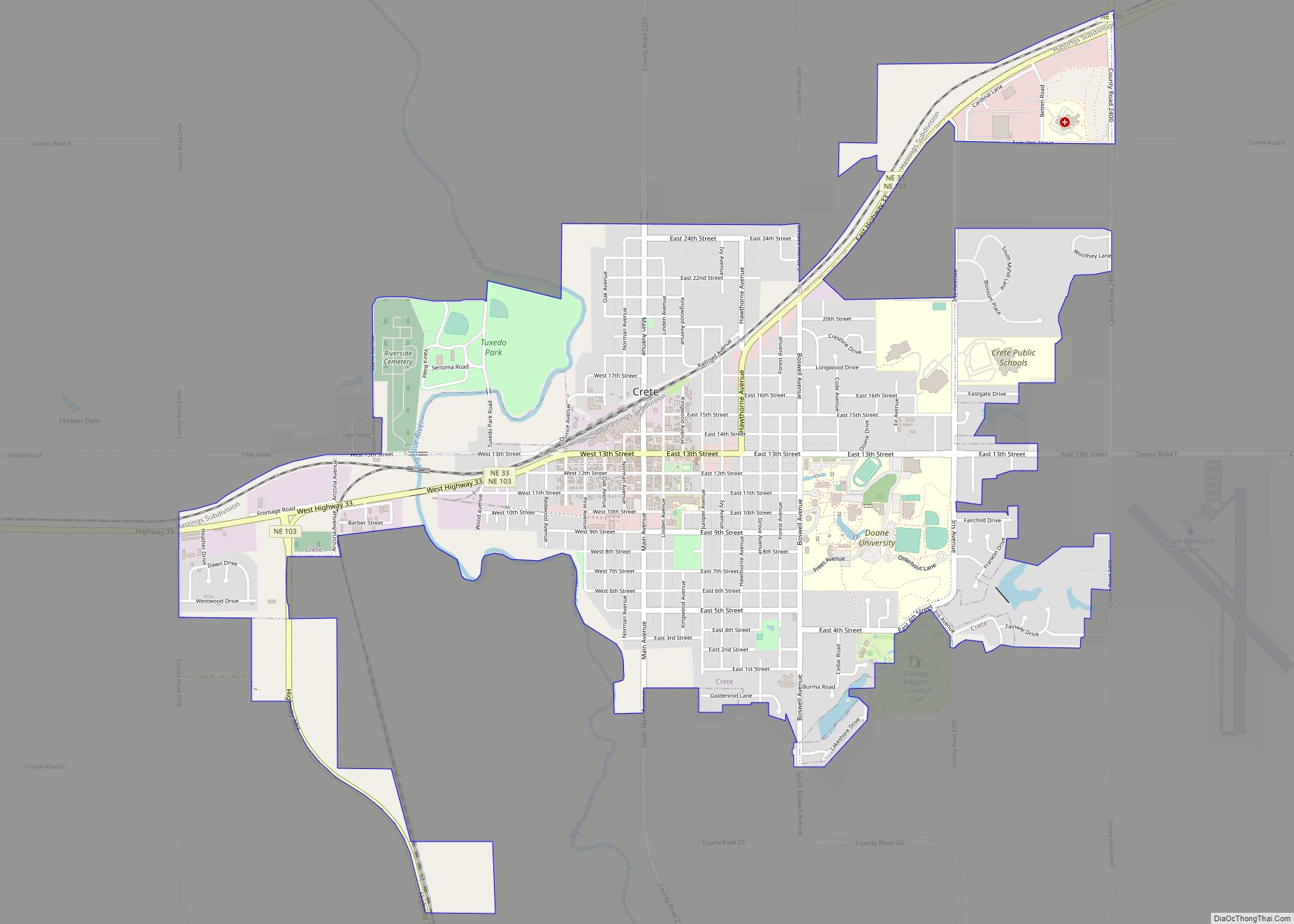
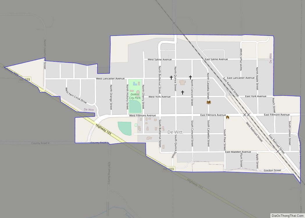
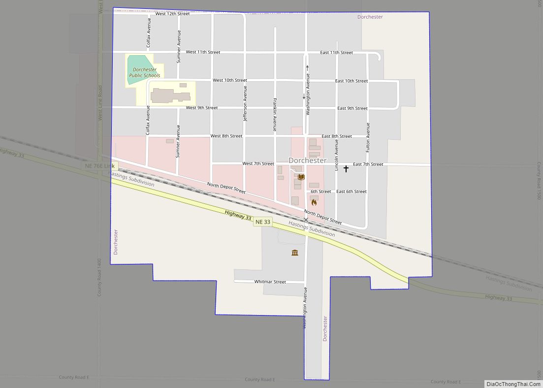
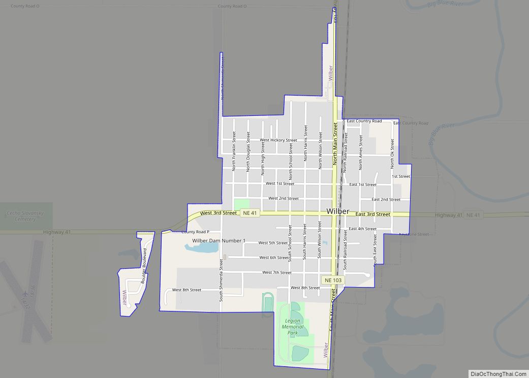
Friend Road Map
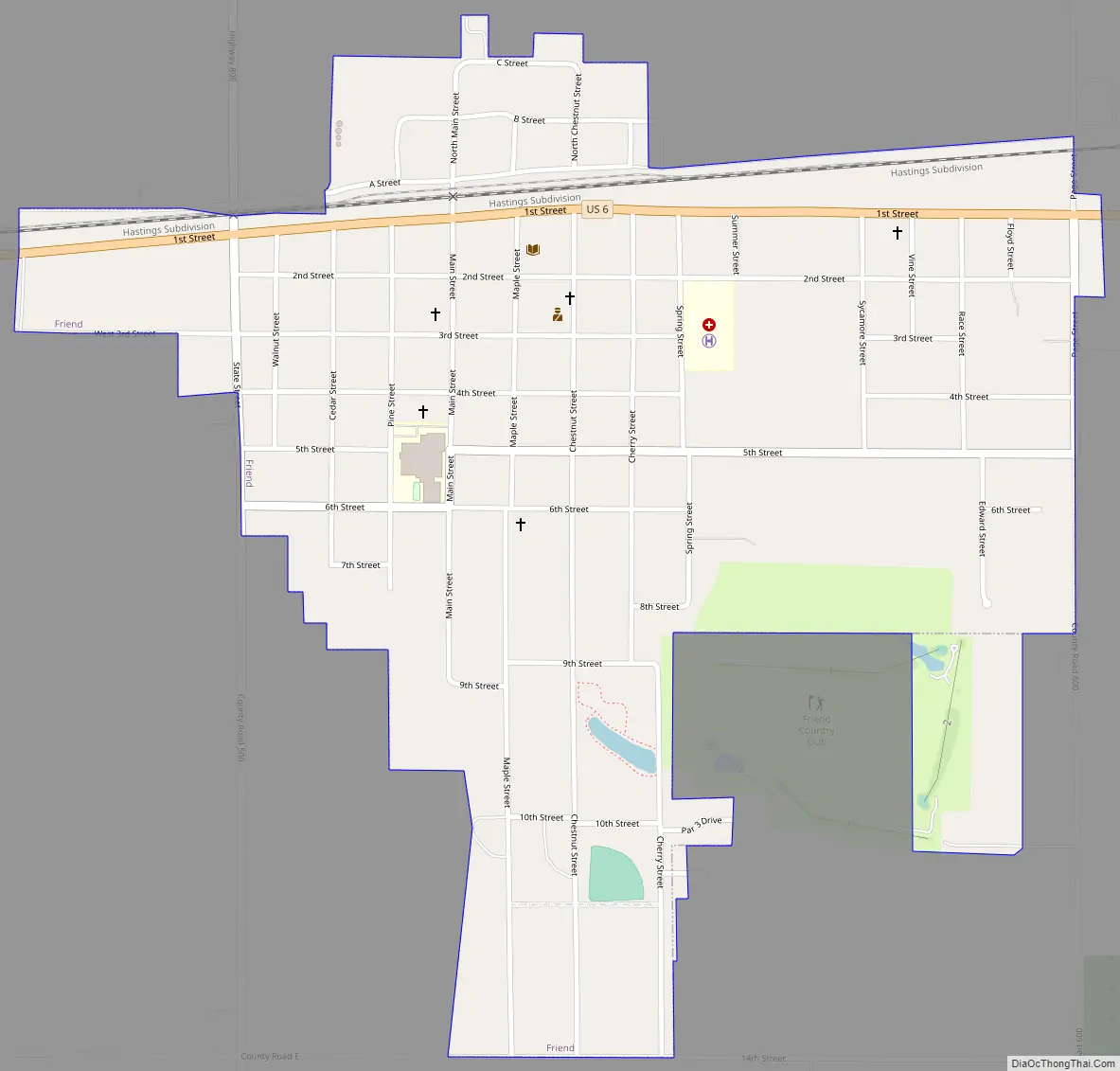
Friend city Satellite Map
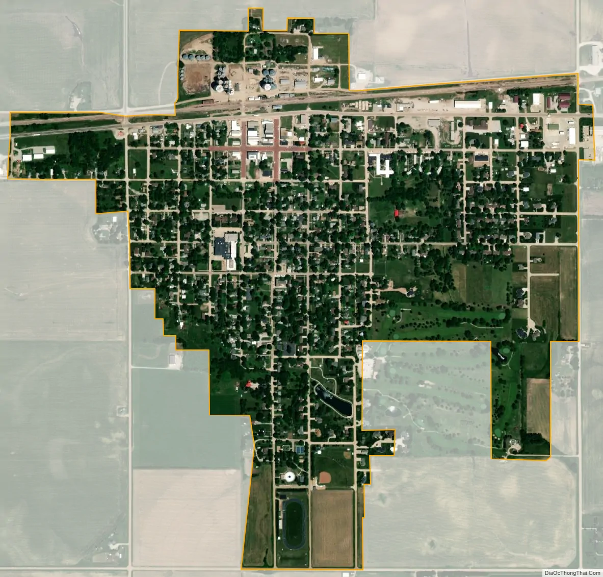
Geography
According to the United States Census Bureau, the city has a total area of 0.83 square miles (2.15 km), all land.
See also
Map of Nebraska State and its subdivision:- Adams
- Antelope
- Arthur
- Banner
- Blaine
- Boone
- Box Butte
- Boyd
- Brown
- Buffalo
- Burt
- Butler
- Cass
- Cedar
- Chase
- Cherry
- Cheyenne
- Clay
- Colfax
- Cuming
- Custer
- Dakota
- Dawes
- Dawson
- Deuel
- Dixon
- Dodge
- Douglas
- Dundy
- Fillmore
- Franklin
- Frontier
- Furnas
- Gage
- Garden
- Garfield
- Gosper
- Grant
- Greeley
- Hall
- Hamilton
- Harlan
- Hayes
- Hitchcock
- Holt
- Hooker
- Howard
- Jefferson
- Johnson
- Kearney
- Keith
- Keya Paha
- Kimball
- Knox
- Lancaster
- Lincoln
- Logan
- Loup
- Madison
- McPherson
- Merrick
- Morrill
- Nance
- Nemaha
- Nuckolls
- Otoe
- Pawnee
- Perkins
- Phelps
- Pierce
- Platte
- Polk
- Red Willow
- Richardson
- Rock
- Saline
- Sarpy
- Saunders
- Scotts Bluff
- Seward
- Sheridan
- Sherman
- Sioux
- Stanton
- Thayer
- Thomas
- Thurston
- Valley
- Washington
- Wayne
- Webster
- Wheeler
- York
- Alabama
- Alaska
- Arizona
- Arkansas
- California
- Colorado
- Connecticut
- Delaware
- District of Columbia
- Florida
- Georgia
- Hawaii
- Idaho
- Illinois
- Indiana
- Iowa
- Kansas
- Kentucky
- Louisiana
- Maine
- Maryland
- Massachusetts
- Michigan
- Minnesota
- Mississippi
- Missouri
- Montana
- Nebraska
- Nevada
- New Hampshire
- New Jersey
- New Mexico
- New York
- North Carolina
- North Dakota
- Ohio
- Oklahoma
- Oregon
- Pennsylvania
- Rhode Island
- South Carolina
- South Dakota
- Tennessee
- Texas
- Utah
- Vermont
- Virginia
- Washington
- West Virginia
- Wisconsin
- Wyoming