Fullerton is a city in, and the county seat of, Nance County, Nebraska, United States. The population was 1,307 as of the 2010 Census.
| Name: | Fullerton city |
|---|---|
| LSAD Code: | 25 |
| LSAD Description: | city (suffix) |
| State: | Nebraska |
| County: | Nance County |
| Elevation: | 1,647 ft (502 m) |
| Total Area: | 1.37 sq mi (3.54 km²) |
| Land Area: | 1.34 sq mi (3.47 km²) |
| Water Area: | 0.02 sq mi (0.06 km²) |
| Total Population: | 1,244 |
| Population Density: | 926.97/sq mi (358.00/km²) |
| ZIP code: | 68638 |
| Area code: | 308 |
| FIPS code: | 3117810 |
| GNISfeature ID: | 0829430 |
| Website: | www.fullerton-ne.com |
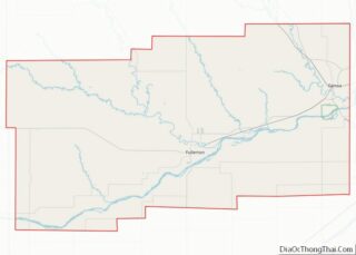
Online Interactive Map
Click on ![]() to view map in "full screen" mode.
to view map in "full screen" mode.
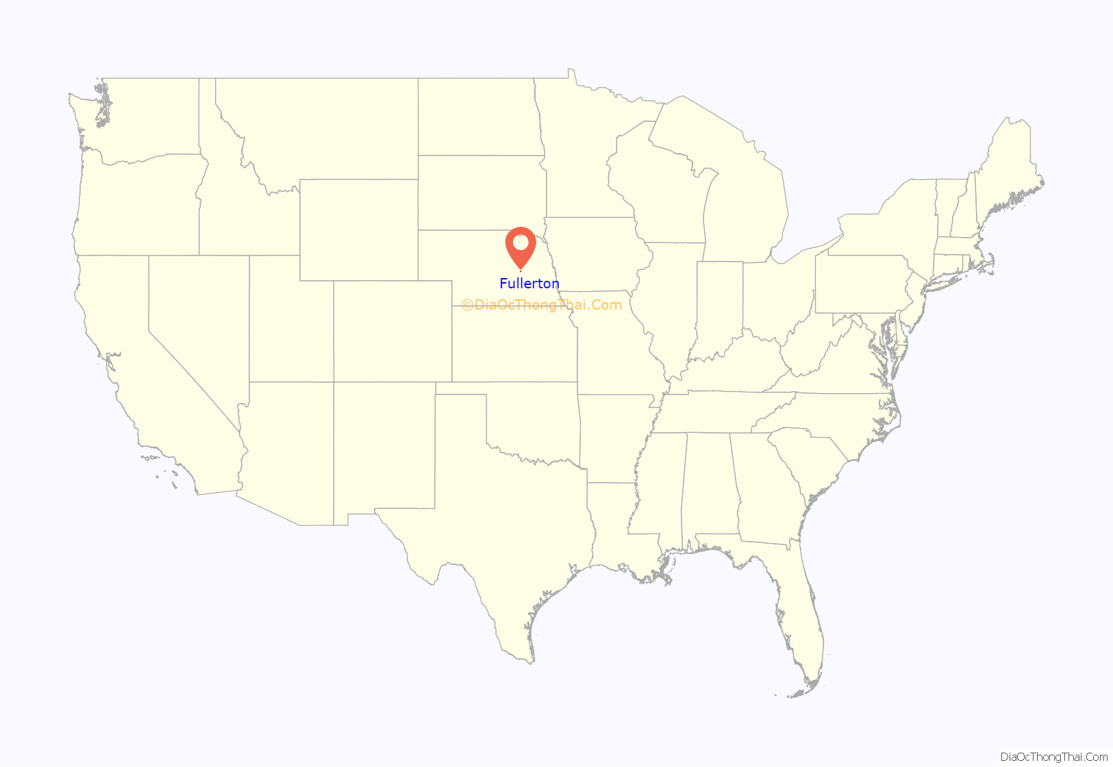
Fullerton location map. Where is Fullerton city?
History
A location by Fullerton called “Buffalo Leap” was thought to be used by aboriginals for driving buffalo to their deaths as a hunting method. It is also known as “Lover’s Leap”. Currently it is a part of the Broken Arrow Wilderness Camp located just north of Fullerton.
In 1856, the Fullerton area became part of a Pawnee reservation and was excluded from settlement under the 1862 Homestead Act. Randall Fuller bought large tracts of land when the reservation was auctioned in 1871 and donated some for public use. The town was platted in about 1878, and named after Fuller.
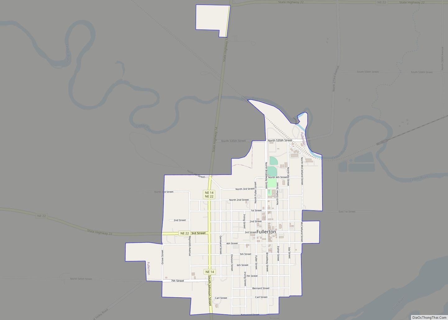
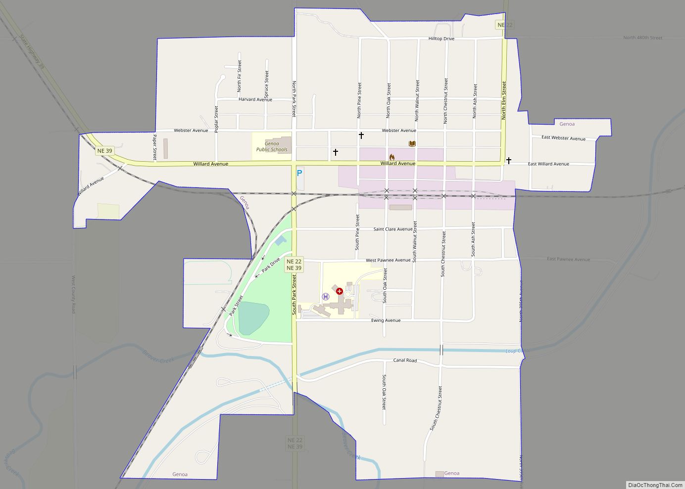
Fullerton Road Map
Fullerton city Satellite Map
Geography
Fullerton is located at 41°21′47″N 97°58′15″W / 41.36306°N 97.97083°W / 41.36306; -97.97083 (41.363009, -97.970858).
According to the United States Census Bureau, the city has a total area of 1.26 square miles (3.26 km), all of it land.
The community is located at the junction of Routes 14 and 22.
See also
Map of Nebraska State and its subdivision:- Adams
- Antelope
- Arthur
- Banner
- Blaine
- Boone
- Box Butte
- Boyd
- Brown
- Buffalo
- Burt
- Butler
- Cass
- Cedar
- Chase
- Cherry
- Cheyenne
- Clay
- Colfax
- Cuming
- Custer
- Dakota
- Dawes
- Dawson
- Deuel
- Dixon
- Dodge
- Douglas
- Dundy
- Fillmore
- Franklin
- Frontier
- Furnas
- Gage
- Garden
- Garfield
- Gosper
- Grant
- Greeley
- Hall
- Hamilton
- Harlan
- Hayes
- Hitchcock
- Holt
- Hooker
- Howard
- Jefferson
- Johnson
- Kearney
- Keith
- Keya Paha
- Kimball
- Knox
- Lancaster
- Lincoln
- Logan
- Loup
- Madison
- McPherson
- Merrick
- Morrill
- Nance
- Nemaha
- Nuckolls
- Otoe
- Pawnee
- Perkins
- Phelps
- Pierce
- Platte
- Polk
- Red Willow
- Richardson
- Rock
- Saline
- Sarpy
- Saunders
- Scotts Bluff
- Seward
- Sheridan
- Sherman
- Sioux
- Stanton
- Thayer
- Thomas
- Thurston
- Valley
- Washington
- Wayne
- Webster
- Wheeler
- York
- Alabama
- Alaska
- Arizona
- Arkansas
- California
- Colorado
- Connecticut
- Delaware
- District of Columbia
- Florida
- Georgia
- Hawaii
- Idaho
- Illinois
- Indiana
- Iowa
- Kansas
- Kentucky
- Louisiana
- Maine
- Maryland
- Massachusetts
- Michigan
- Minnesota
- Mississippi
- Missouri
- Montana
- Nebraska
- Nevada
- New Hampshire
- New Jersey
- New Mexico
- New York
- North Carolina
- North Dakota
- Ohio
- Oklahoma
- Oregon
- Pennsylvania
- Rhode Island
- South Carolina
- South Dakota
- Tennessee
- Texas
- Utah
- Vermont
- Virginia
- Washington
- West Virginia
- Wisconsin
- Wyoming
