Hebron is a city in, and the county seat of, Thayer County, Nebraska, United States. The population was 1,441 at the 2020 census.
| Name: | Hebron city |
|---|---|
| LSAD Code: | 25 |
| LSAD Description: | city (suffix) |
| State: | Nebraska |
| County: | Thayer County |
| Elevation: | 1,470 ft (448 m) |
| Total Area: | 1.46 sq mi (3.79 km²) |
| Land Area: | 1.46 sq mi (3.79 km²) |
| Water Area: | 0.00 sq mi (0.00 km²) |
| Total Population: | 1,441 |
| Population Density: | 990/sq mi (380/km²) |
| ZIP code: | 68370 |
| Area code: | 402 |
| FIPS code: | 3121905 |
| GNISfeature ID: | 0829911 |
| Website: | www.hebronnebraska.us |
Online Interactive Map
Click on ![]() to view map in "full screen" mode.
to view map in "full screen" mode.
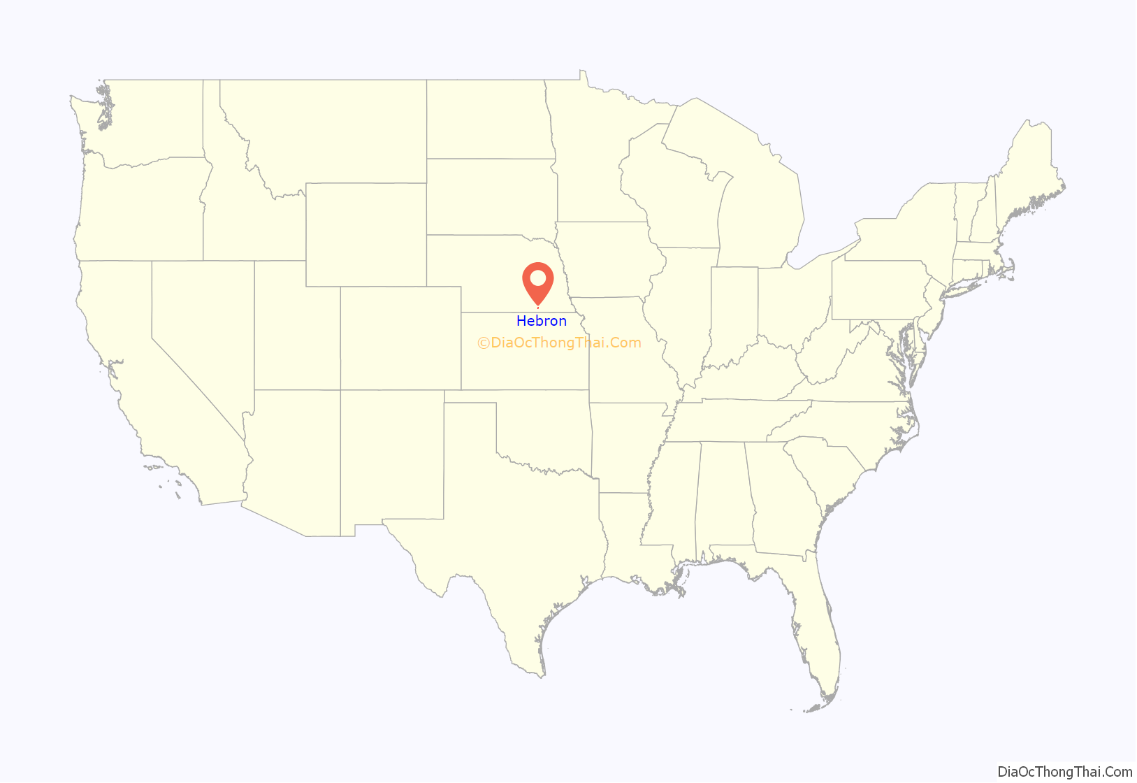
Hebron location map. Where is Hebron city?
History
Hebron was founded about 1869 by a colony of Disciples of Christ. It was named after the ancient city of Hebron.
Hebron native Loetta Norene Raatz, 1928-2021, was inducted into the Nebraska Hall of Fame by Governor Kay Orr in honor of her record 65 years of service with the Nebraska Department of Health & Human Services until her retirement in 2011.
The historic Hebron United States Post Office, now on the U.S. National Register of Historic Places, was built in the town in 1937 by architect Louis A. Simon.
A tornado in 1953 caused severe damage.
In 2021, the United States Department of Agriculture announced that a large well site would be constructed in a field near Hebron, a major part of a larger bid to improve water infrastructure for farmers across the state of Nebraska and neighboring Kansas.
Hebron Road Map
Hebron city Satellite Map
Geography
Hebron is located at 40°10′6″N 97°35′12″W / 40.16833°N 97.58667°W / 40.16833; -97.58667 (40.168345, -97.586574). According to the United States Census Bureau, the city has a total area of 1.41 square miles (3.65 km), all land.
Climate
See also
Map of Nebraska State and its subdivision:- Adams
- Antelope
- Arthur
- Banner
- Blaine
- Boone
- Box Butte
- Boyd
- Brown
- Buffalo
- Burt
- Butler
- Cass
- Cedar
- Chase
- Cherry
- Cheyenne
- Clay
- Colfax
- Cuming
- Custer
- Dakota
- Dawes
- Dawson
- Deuel
- Dixon
- Dodge
- Douglas
- Dundy
- Fillmore
- Franklin
- Frontier
- Furnas
- Gage
- Garden
- Garfield
- Gosper
- Grant
- Greeley
- Hall
- Hamilton
- Harlan
- Hayes
- Hitchcock
- Holt
- Hooker
- Howard
- Jefferson
- Johnson
- Kearney
- Keith
- Keya Paha
- Kimball
- Knox
- Lancaster
- Lincoln
- Logan
- Loup
- Madison
- McPherson
- Merrick
- Morrill
- Nance
- Nemaha
- Nuckolls
- Otoe
- Pawnee
- Perkins
- Phelps
- Pierce
- Platte
- Polk
- Red Willow
- Richardson
- Rock
- Saline
- Sarpy
- Saunders
- Scotts Bluff
- Seward
- Sheridan
- Sherman
- Sioux
- Stanton
- Thayer
- Thomas
- Thurston
- Valley
- Washington
- Wayne
- Webster
- Wheeler
- York
- Alabama
- Alaska
- Arizona
- Arkansas
- California
- Colorado
- Connecticut
- Delaware
- District of Columbia
- Florida
- Georgia
- Hawaii
- Idaho
- Illinois
- Indiana
- Iowa
- Kansas
- Kentucky
- Louisiana
- Maine
- Maryland
- Massachusetts
- Michigan
- Minnesota
- Mississippi
- Missouri
- Montana
- Nebraska
- Nevada
- New Hampshire
- New Jersey
- New Mexico
- New York
- North Carolina
- North Dakota
- Ohio
- Oklahoma
- Oregon
- Pennsylvania
- Rhode Island
- South Carolina
- South Dakota
- Tennessee
- Texas
- Utah
- Vermont
- Virginia
- Washington
- West Virginia
- Wisconsin
- Wyoming
