Hendley is a village in Furnas County, Nebraska, United States. The population was 24 at the 2010 census.
| Name: | Hendley village |
|---|---|
| LSAD Code: | 47 |
| LSAD Description: | village (suffix) |
| State: | Nebraska |
| County: | Furnas County |
| Elevation: | 2,234 ft (681 m) |
| Total Area: | 0.21 sq mi (0.55 km²) |
| Land Area: | 0.21 sq mi (0.55 km²) |
| Water Area: | 0.00 sq mi (0.00 km²) |
| Total Population: | 20 |
| Population Density: | 93.90/sq mi (36.33/km²) |
| ZIP code: | 68946 |
| Area code: | 308 |
| FIPS code: | 3122115 |
| GNISfeature ID: | 0829931 |
Online Interactive Map
Click on ![]() to view map in "full screen" mode.
to view map in "full screen" mode.
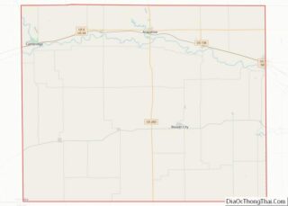
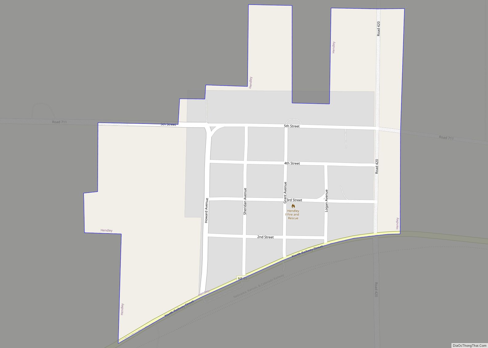
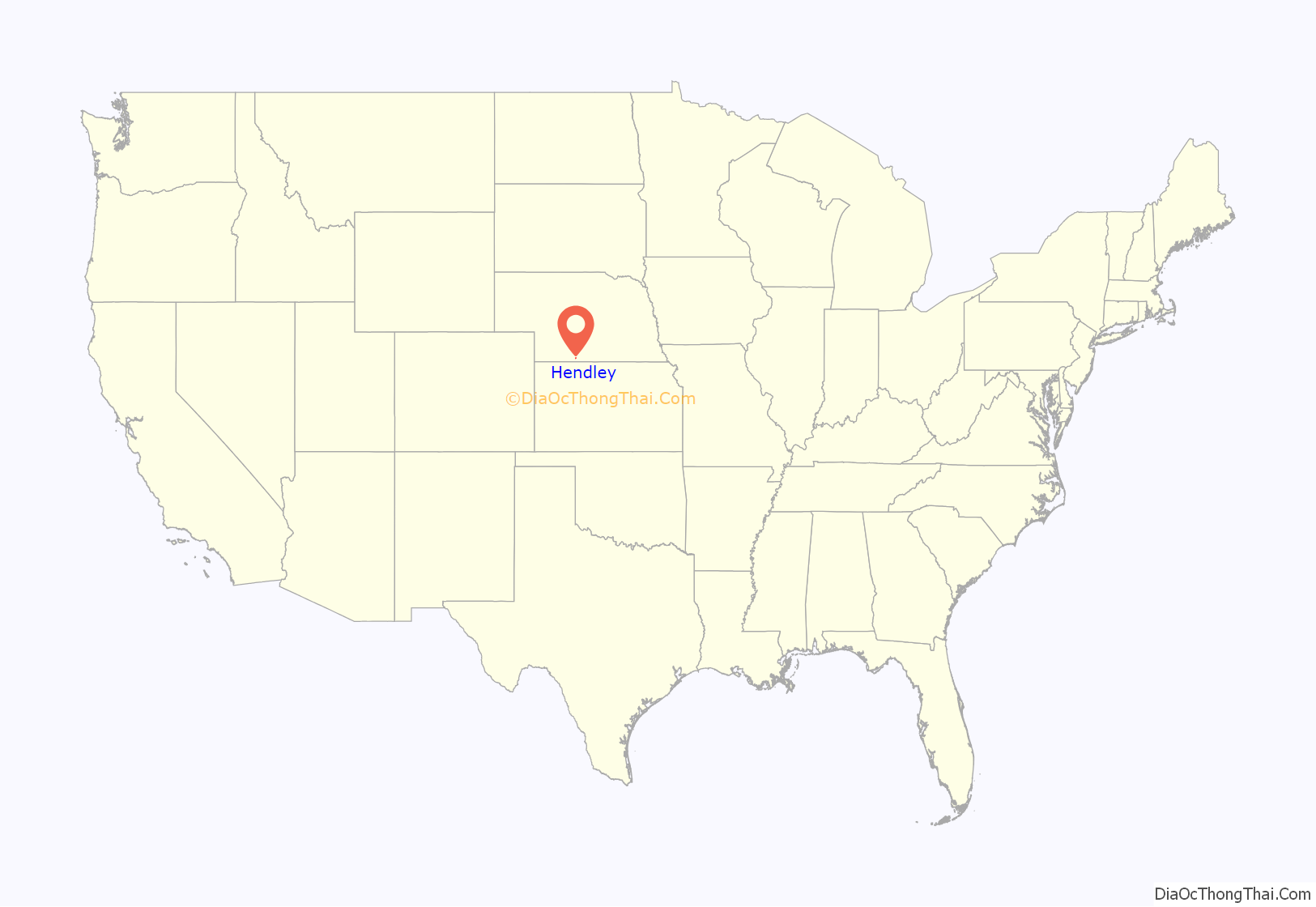
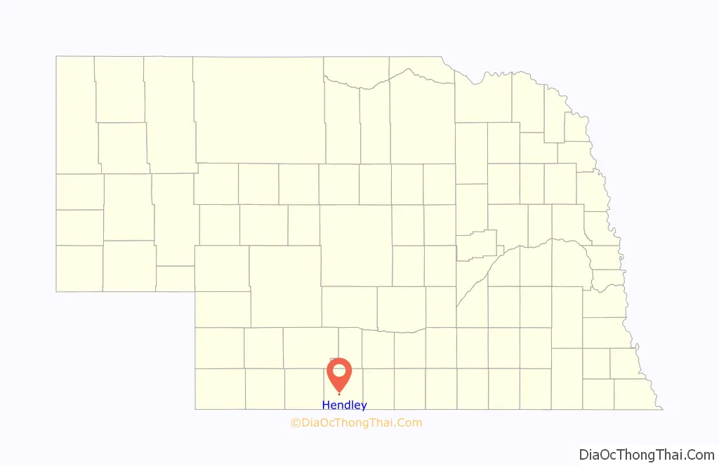
Hendley location map. Where is Hendley village?
History
Hendley was named by the railroad in 1887 when they built a new line to a small settlement called Lyndon that had existed since the 1870s.
A post office was established in Hendley in 1888 and, while no longer in a standalone building, remains in operation within the small convenience store located on the southeast corner of Grant Avenue and 3rd Street.
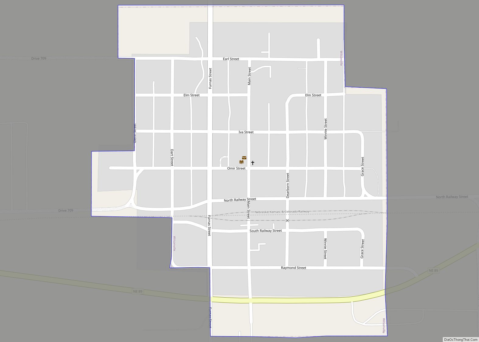
Hendley Road Map
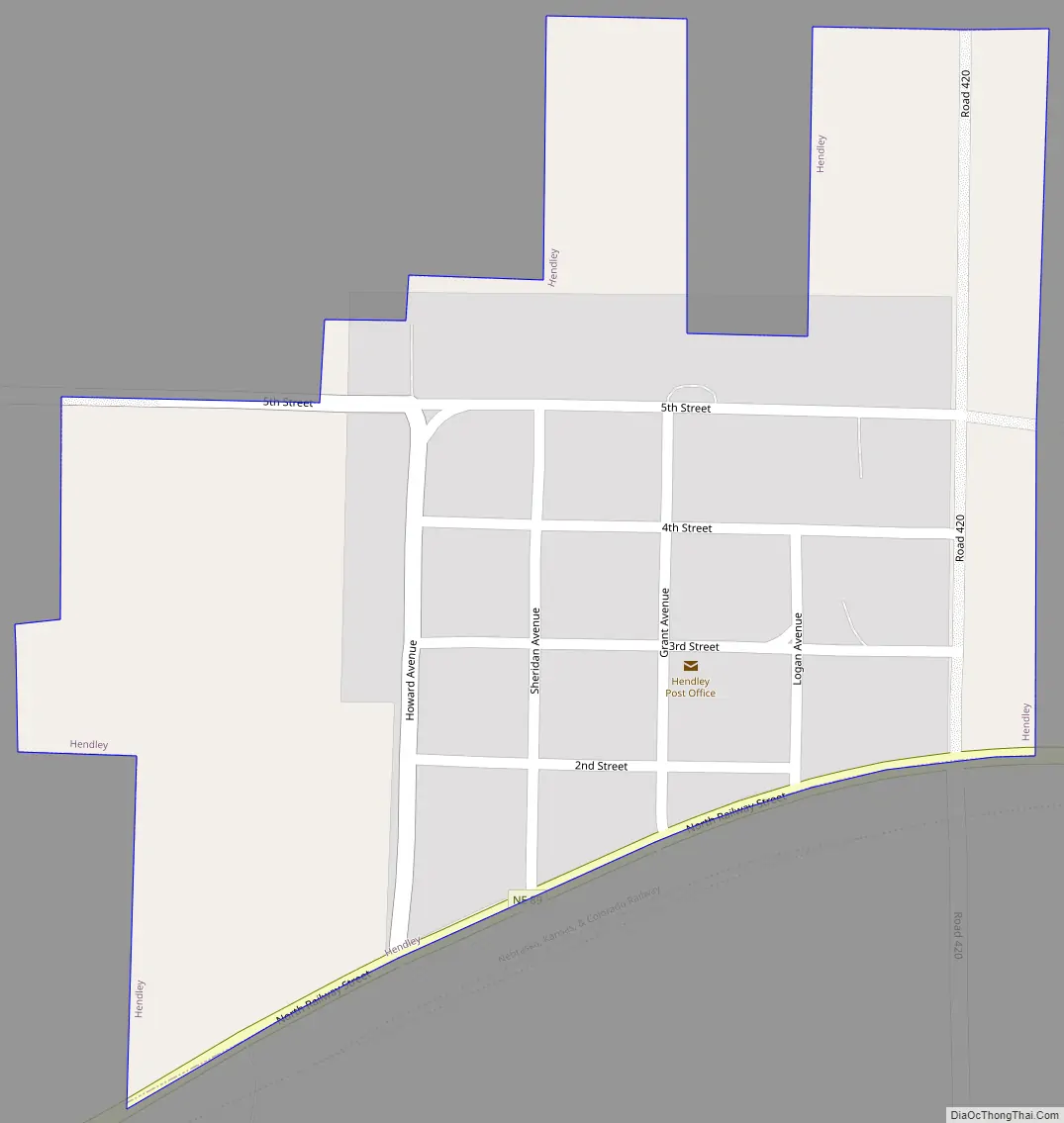
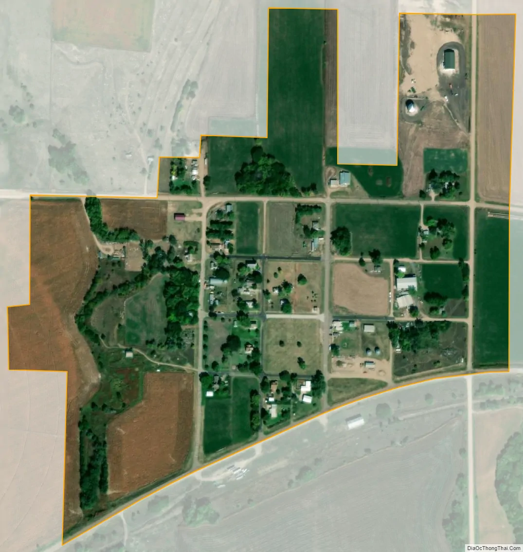
Hendley city Satellite Map
Geography
Hendley is located at 40°7′51″N 99°58′10″W / 40.13083°N 99.96944°W / 40.13083; -99.96944 (40.130849, -99.969427).
According to the United States Census Bureau, the village has a total area of 0.21 square miles (0.54 km), all land.
See also
Map of Nebraska State and its subdivision:- Adams
- Antelope
- Arthur
- Banner
- Blaine
- Boone
- Box Butte
- Boyd
- Brown
- Buffalo
- Burt
- Butler
- Cass
- Cedar
- Chase
- Cherry
- Cheyenne
- Clay
- Colfax
- Cuming
- Custer
- Dakota
- Dawes
- Dawson
- Deuel
- Dixon
- Dodge
- Douglas
- Dundy
- Fillmore
- Franklin
- Frontier
- Furnas
- Gage
- Garden
- Garfield
- Gosper
- Grant
- Greeley
- Hall
- Hamilton
- Harlan
- Hayes
- Hitchcock
- Holt
- Hooker
- Howard
- Jefferson
- Johnson
- Kearney
- Keith
- Keya Paha
- Kimball
- Knox
- Lancaster
- Lincoln
- Logan
- Loup
- Madison
- McPherson
- Merrick
- Morrill
- Nance
- Nemaha
- Nuckolls
- Otoe
- Pawnee
- Perkins
- Phelps
- Pierce
- Platte
- Polk
- Red Willow
- Richardson
- Rock
- Saline
- Sarpy
- Saunders
- Scotts Bluff
- Seward
- Sheridan
- Sherman
- Sioux
- Stanton
- Thayer
- Thomas
- Thurston
- Valley
- Washington
- Wayne
- Webster
- Wheeler
- York
- Alabama
- Alaska
- Arizona
- Arkansas
- California
- Colorado
- Connecticut
- Delaware
- District of Columbia
- Florida
- Georgia
- Hawaii
- Idaho
- Illinois
- Indiana
- Iowa
- Kansas
- Kentucky
- Louisiana
- Maine
- Maryland
- Massachusetts
- Michigan
- Minnesota
- Mississippi
- Missouri
- Montana
- Nebraska
- Nevada
- New Hampshire
- New Jersey
- New Mexico
- New York
- North Carolina
- North Dakota
- Ohio
- Oklahoma
- Oregon
- Pennsylvania
- Rhode Island
- South Carolina
- South Dakota
- Tennessee
- Texas
- Utah
- Vermont
- Virginia
- Washington
- West Virginia
- Wisconsin
- Wyoming