Kimball is a city in and county seat of Kimball County, Nebraska, United States. The population was 2,290 at the 2020 census.
| Name: | Kimball city |
|---|---|
| LSAD Code: | 25 |
| LSAD Description: | city (suffix) |
| State: | Nebraska |
| County: | Kimball County |
| Elevation: | 4,715 ft (1,437 m) |
| Total Area: | 2.07 sq mi (5.36 km²) |
| Land Area: | 2.07 sq mi (5.36 km²) |
| Water Area: | 0.00 sq mi (0.00 km²) |
| Total Population: | 2,290 |
| Population Density: | 1,105.75/sq mi (426.89/km²) |
| ZIP code: | 69145 |
| Area code: | 308 |
| FIPS code: | 3125475 |
| GNISfeature ID: | 0830504 |
| Website: | kimballne.org |
Online Interactive Map
Click on ![]() to view map in "full screen" mode.
to view map in "full screen" mode.
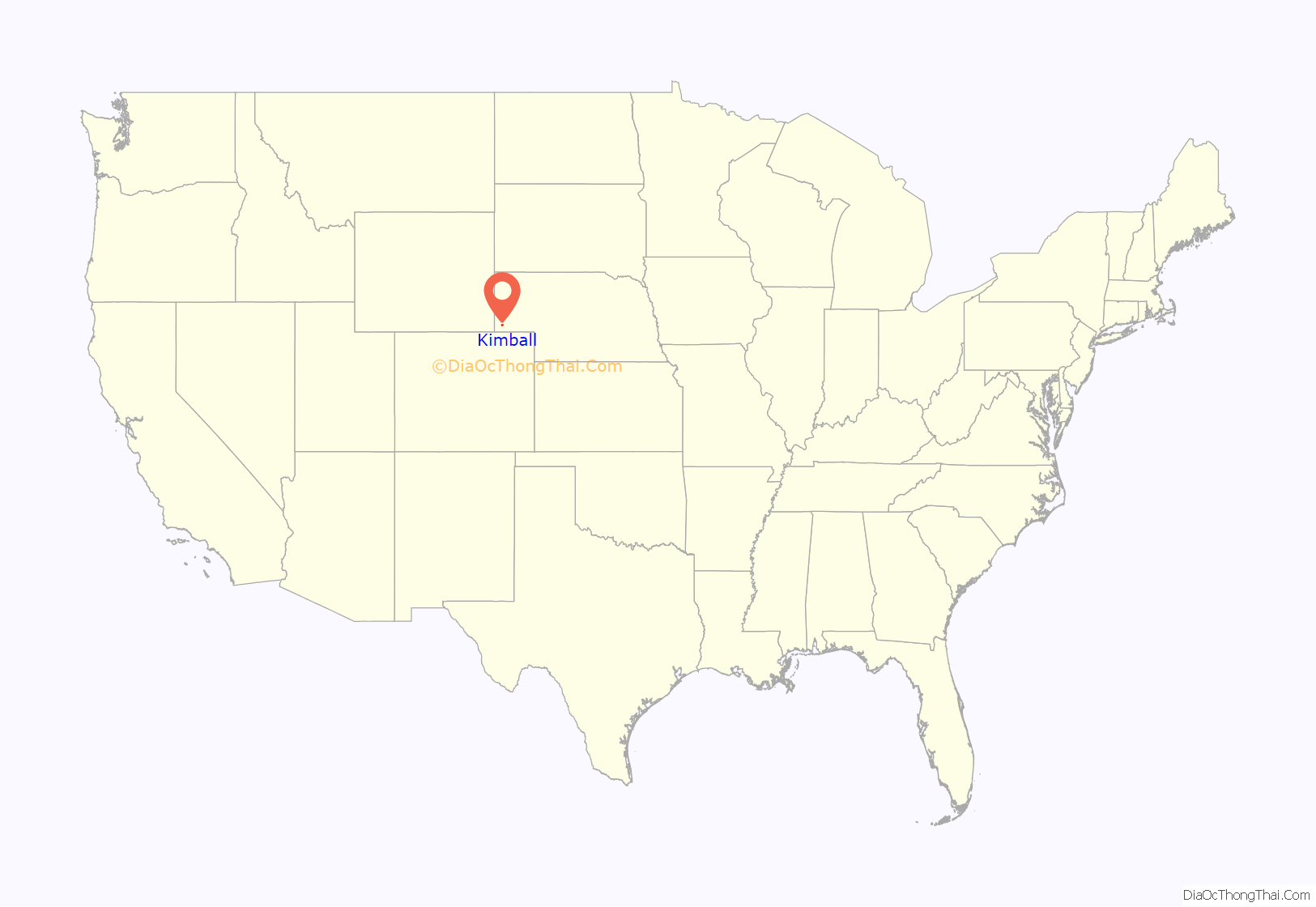
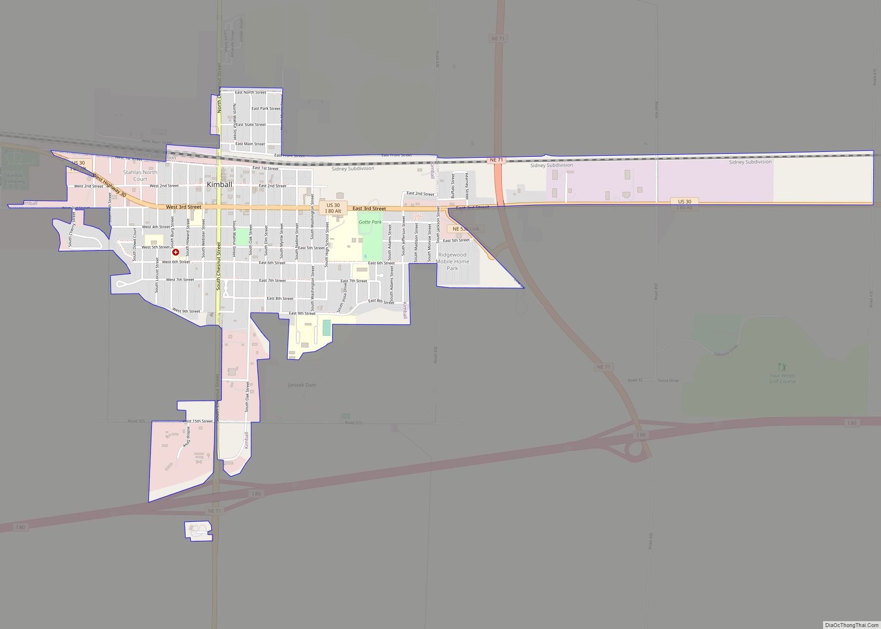
Kimball location map. Where is Kimball city?
History
Kimball was originally called Antelopeville, and under the latter name was established circa 1870 when the Union Pacific Railroad was extended to that point. It initially consisted of a telegraph and coal station with a siding and section house. It was renamed in 1885 in honor of Thomas Kimball, a railroad official. Kimball was incorporated in 1888.
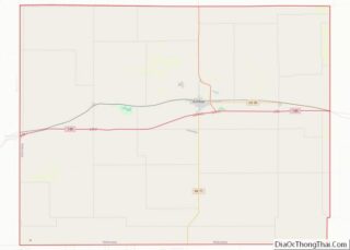
Kimball Road Map
Kimball city Satellite Map
Geography
Kimball is located at 41°14′1″N 103°39′34″W / 41.23361°N 103.65944°W / 41.23361; -103.65944 (41.233693, -103.659463), in the southwestern Panhandle. According to the United States Census Bureau, the city has a total area of 2.07 square miles (5.36 km), all land.
Kimball declares itself as “The High Point of Nebraska!”, as the highest point in the state is approximately 33 miles (53 km) from the city. Panorama Point, 5,424 feet (1,653 m) above sea level, is located at N 41 degrees 00.461 minutes, W 104 degrees 01.883 minutes. It is marked by a small monument. Kimball itself is not the Nebraska town with the highest elevation: that status belongs to Harrison, at 4,876 feet (1,486 m).
See also
Map of Nebraska State and its subdivision:- Adams
- Antelope
- Arthur
- Banner
- Blaine
- Boone
- Box Butte
- Boyd
- Brown
- Buffalo
- Burt
- Butler
- Cass
- Cedar
- Chase
- Cherry
- Cheyenne
- Clay
- Colfax
- Cuming
- Custer
- Dakota
- Dawes
- Dawson
- Deuel
- Dixon
- Dodge
- Douglas
- Dundy
- Fillmore
- Franklin
- Frontier
- Furnas
- Gage
- Garden
- Garfield
- Gosper
- Grant
- Greeley
- Hall
- Hamilton
- Harlan
- Hayes
- Hitchcock
- Holt
- Hooker
- Howard
- Jefferson
- Johnson
- Kearney
- Keith
- Keya Paha
- Kimball
- Knox
- Lancaster
- Lincoln
- Logan
- Loup
- Madison
- McPherson
- Merrick
- Morrill
- Nance
- Nemaha
- Nuckolls
- Otoe
- Pawnee
- Perkins
- Phelps
- Pierce
- Platte
- Polk
- Red Willow
- Richardson
- Rock
- Saline
- Sarpy
- Saunders
- Scotts Bluff
- Seward
- Sheridan
- Sherman
- Sioux
- Stanton
- Thayer
- Thomas
- Thurston
- Valley
- Washington
- Wayne
- Webster
- Wheeler
- York
- Alabama
- Alaska
- Arizona
- Arkansas
- California
- Colorado
- Connecticut
- Delaware
- District of Columbia
- Florida
- Georgia
- Hawaii
- Idaho
- Illinois
- Indiana
- Iowa
- Kansas
- Kentucky
- Louisiana
- Maine
- Maryland
- Massachusetts
- Michigan
- Minnesota
- Mississippi
- Missouri
- Montana
- Nebraska
- Nevada
- New Hampshire
- New Jersey
- New Mexico
- New York
- North Carolina
- North Dakota
- Ohio
- Oklahoma
- Oregon
- Pennsylvania
- Rhode Island
- South Carolina
- South Dakota
- Tennessee
- Texas
- Utah
- Vermont
- Virginia
- Washington
- West Virginia
- Wisconsin
- Wyoming
