Magnet is a village in Cedar County, Nebraska, United States. The population was 46 at the 2020 census.
| Name: | Magnet village |
|---|---|
| LSAD Code: | 47 |
| LSAD Description: | village (suffix) |
| State: | Nebraska |
| County: | Cedar County |
| Elevation: | 1,827 ft (557 m) |
| Total Area: | 0.15 sq mi (0.39 km²) |
| Land Area: | 0.15 sq mi (0.39 km²) |
| Water Area: | 0.00 sq mi (0.00 km²) |
| Total Population: | 46 |
| Population Density: | 310/sq mi (120/km²) |
| ZIP code: | 68749 |
| Area code: | 402 |
| FIPS code: | 3130310 |
| GNISfeature ID: | 0831001 |
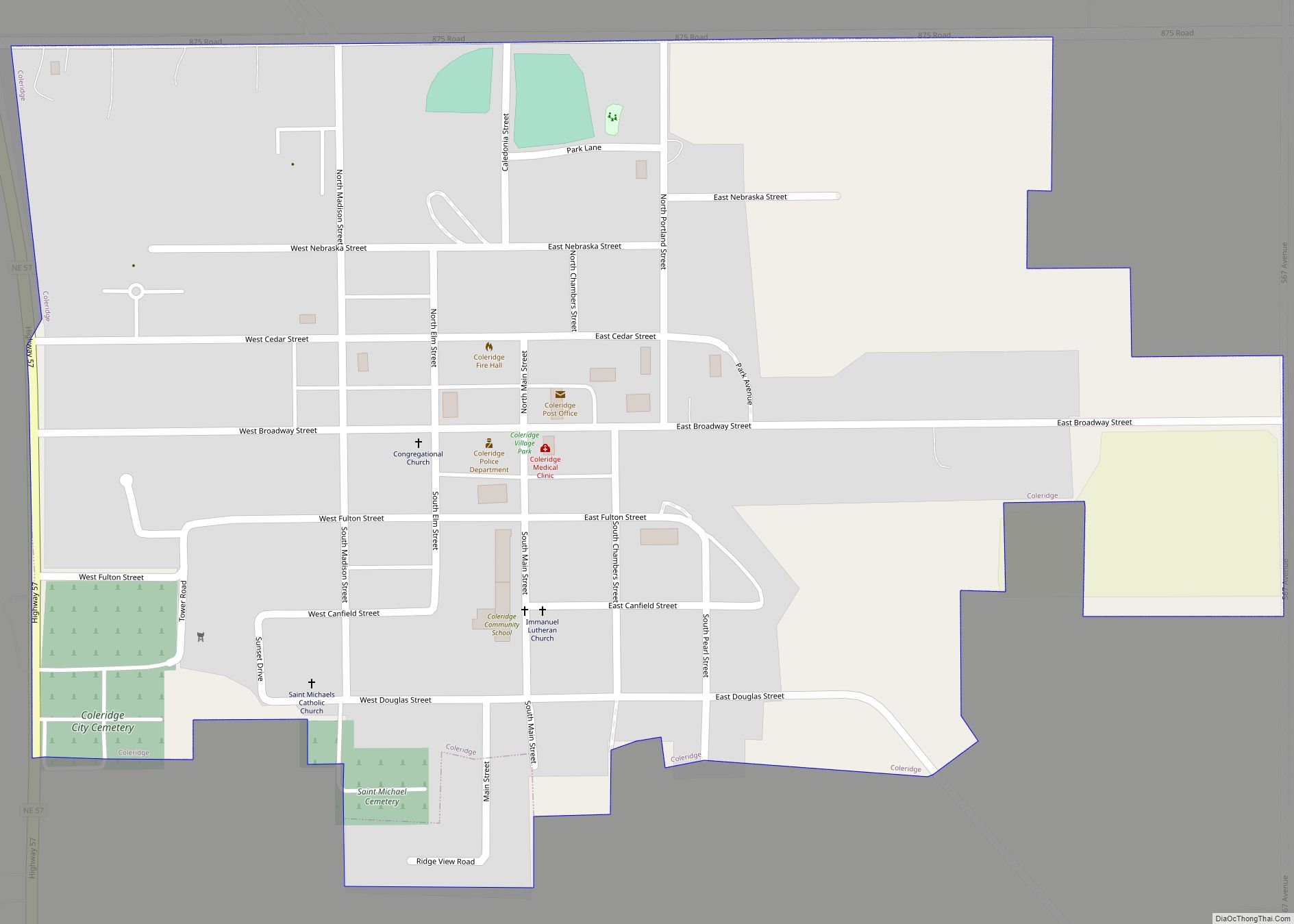
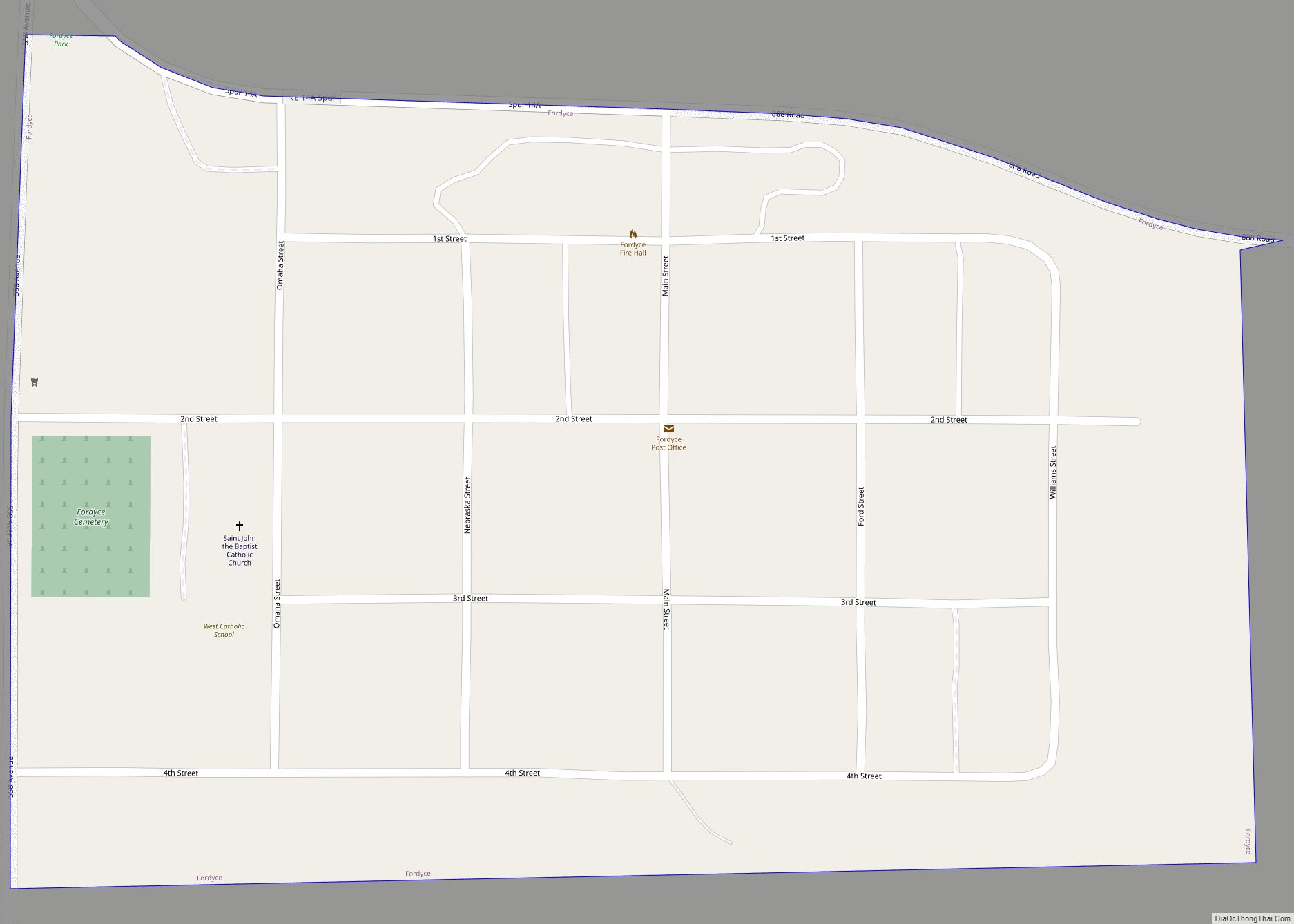
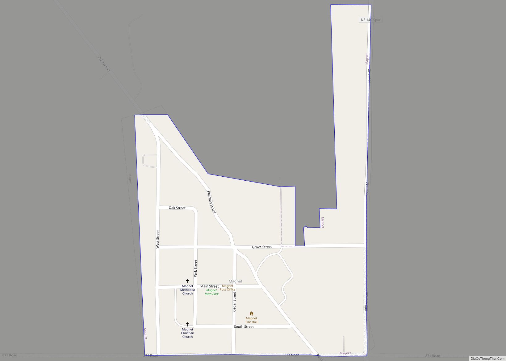
Online Interactive Map
Click on ![]() to view map in "full screen" mode.
to view map in "full screen" mode.
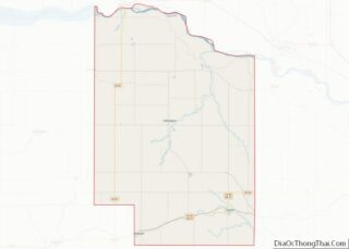
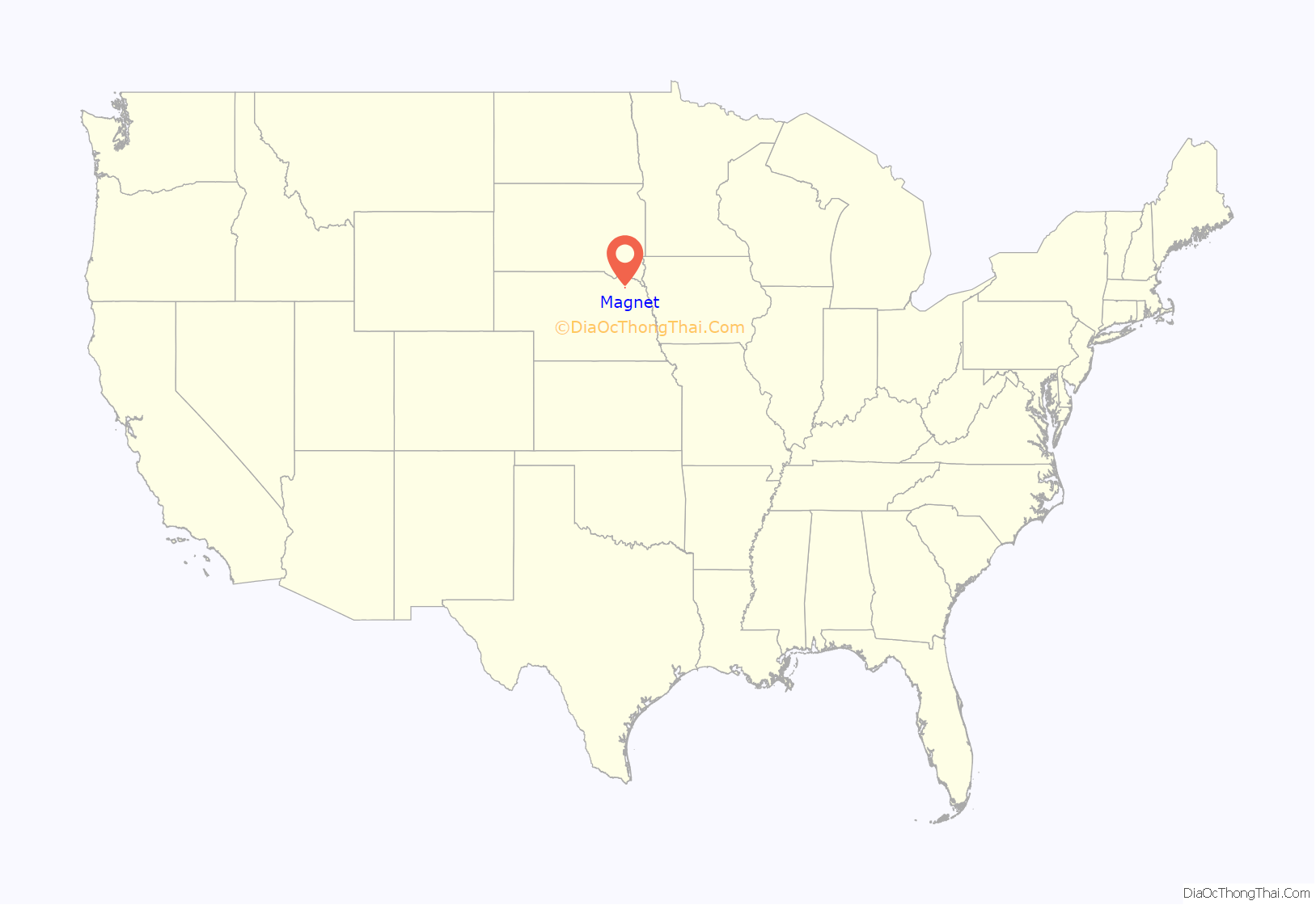
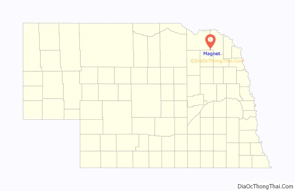
Magnet location map. Where is Magnet village?
History
Magnet was platted in 1893 when the Chicago, St. Paul, Minneapolis and Omaha Railway was extended to that point. Magnet was so named by its founder B. E. Smith, who hoped to attract settlers to the region “as the magnet attracts iron”.
Town motto and disasters
Magnet’s motto: “Magnet: The town too tough to die!” came from a variety of disasters that have struck the town over the course of its history. In February 1925 a fire burned one block of Main Street. The first tornado of two to strike Magnet happened on June 18, 1937. It tore through the town, destroying many businesses and homes. Thousands of people came to survey the damage on the Sunday following the storm. Over the summer of 1937 the town was cleaned up and through the help of neighboring towns, buildings and farms were restored.
The second tornado struck Magnet on May 6, 1975 at 2:45 pm. The devastating tornado ripped through the town, destroying 2 homes and heavily damaging many more. A Carhart Lumber truck from Randolph came into town, bringing a load of plywood sheets. They were used for temporary repairs to protect damaged homes from the elements. The town was without lights and water, so the fire department from the neighboring town of Wausa brought in emergency generator units. Workers from the power company labored throughout the night to restore electrical service to the main part of town. It took over a week to replace broken poles and wires. Drinking water was brought in milk creamer cans. Help from neighboring towns came during the summer to assist with the clean-up.
Railroad
The Chicago, St. Paul, Minneapolis, and Omaha Railroad went from Randolph to Magnet, then on to Bloomfield. Travelers who came to Magnet in 1894 had only a platform and an old box car to unload on when they arrived. During 1905–06, everything came by mail, groceries, farm goods, etc. In 1948–49, there was a very bad winter; at one time there was no train for six weeks. In the 1950s the train only came through three times a week. The tracks were eventually torn up in 1965.
Jail House
The jailhouse was built circa 1902. Bars on the windows were set to keep the prisoners in. Before it was moved it was an old voting booth. In the 1960s the building was moved and added on to serve as the county shed. It was one of the buildings that was destroyed by the tornado in 1975.
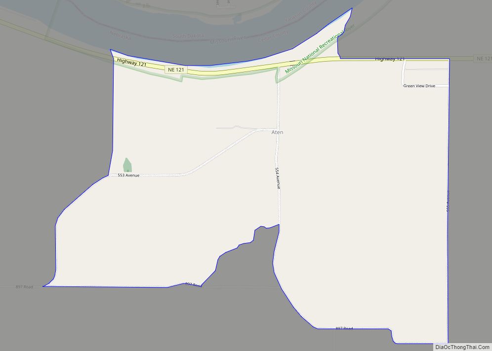
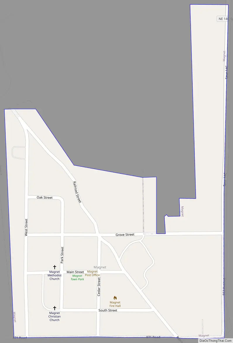
Magnet Road Map
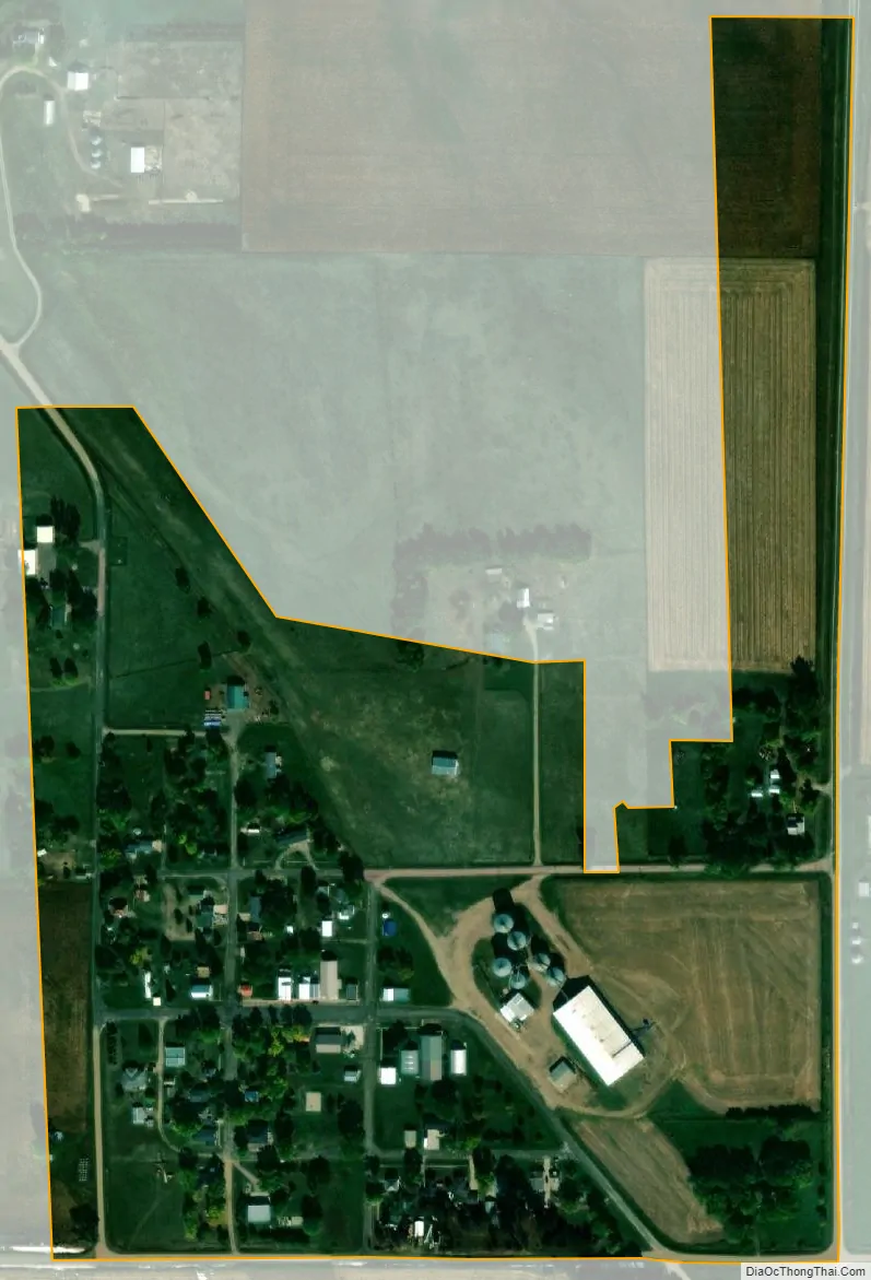
Magnet city Satellite Map
Geography
Magnet is located at 42°27′19″N 97°28′15″W / 42.45528°N 97.47083°W / 42.45528; -97.47083 (42.455401, -97.470798).
According to the United States Census Bureau, the village has a total area of 0.15 square miles (0.39 km), all land.
See also
Map of Nebraska State and its subdivision:- Adams
- Antelope
- Arthur
- Banner
- Blaine
- Boone
- Box Butte
- Boyd
- Brown
- Buffalo
- Burt
- Butler
- Cass
- Cedar
- Chase
- Cherry
- Cheyenne
- Clay
- Colfax
- Cuming
- Custer
- Dakota
- Dawes
- Dawson
- Deuel
- Dixon
- Dodge
- Douglas
- Dundy
- Fillmore
- Franklin
- Frontier
- Furnas
- Gage
- Garden
- Garfield
- Gosper
- Grant
- Greeley
- Hall
- Hamilton
- Harlan
- Hayes
- Hitchcock
- Holt
- Hooker
- Howard
- Jefferson
- Johnson
- Kearney
- Keith
- Keya Paha
- Kimball
- Knox
- Lancaster
- Lincoln
- Logan
- Loup
- Madison
- McPherson
- Merrick
- Morrill
- Nance
- Nemaha
- Nuckolls
- Otoe
- Pawnee
- Perkins
- Phelps
- Pierce
- Platte
- Polk
- Red Willow
- Richardson
- Rock
- Saline
- Sarpy
- Saunders
- Scotts Bluff
- Seward
- Sheridan
- Sherman
- Sioux
- Stanton
- Thayer
- Thomas
- Thurston
- Valley
- Washington
- Wayne
- Webster
- Wheeler
- York
- Alabama
- Alaska
- Arizona
- Arkansas
- California
- Colorado
- Connecticut
- Delaware
- District of Columbia
- Florida
- Georgia
- Hawaii
- Idaho
- Illinois
- Indiana
- Iowa
- Kansas
- Kentucky
- Louisiana
- Maine
- Maryland
- Massachusetts
- Michigan
- Minnesota
- Mississippi
- Missouri
- Montana
- Nebraska
- Nevada
- New Hampshire
- New Jersey
- New Mexico
- New York
- North Carolina
- North Dakota
- Ohio
- Oklahoma
- Oregon
- Pennsylvania
- Rhode Island
- South Carolina
- South Dakota
- Tennessee
- Texas
- Utah
- Vermont
- Virginia
- Washington
- West Virginia
- Wisconsin
- Wyoming