Mead is a village in Saunders County, Nebraska, United States. The population was 617 at the 2020 census.
| Name: | Mead village |
|---|---|
| LSAD Code: | 47 |
| LSAD Description: | village (suffix) |
| State: | Nebraska |
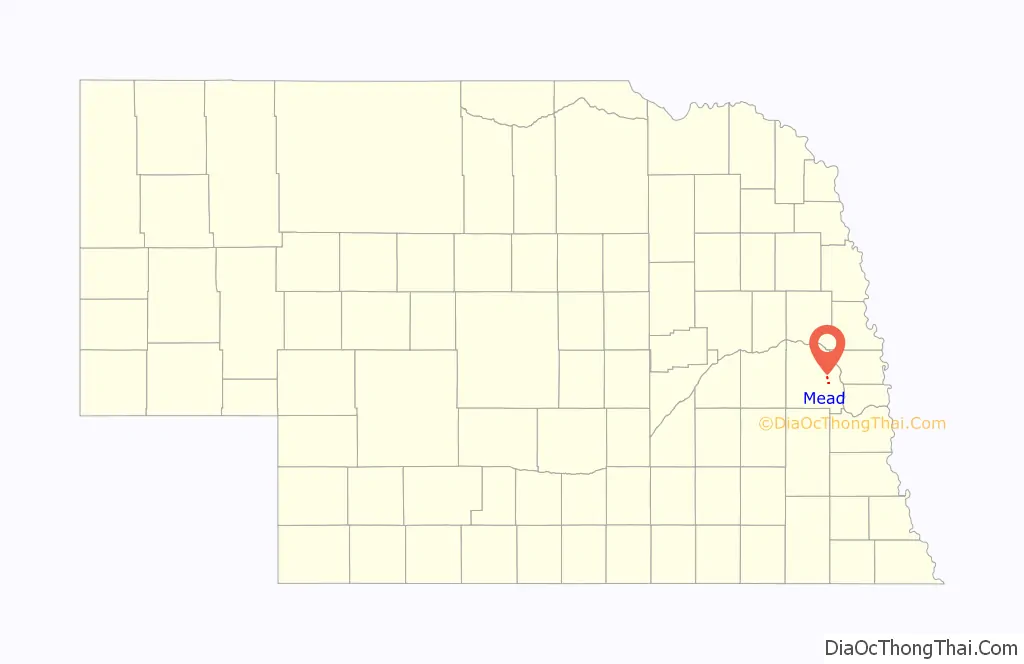
| County: | Saunders County |
| Elevation: | 1,207 ft (368 m) |
| Total Area: | 0.62 sq mi (1.60 km²) |
| Land Area: | 0.61 sq mi (1.58 km²) |
| Water Area: | 0.01 sq mi (0.03 km²) |
| Total Population: | 617 |
| Population Density: | 1,013.14/sq mi (391.37/km²) |
| ZIP code: | 68041 |
| Area code: | 402 |
| FIPS code: | 3131395 |
| GNISfeature ID: | 2399299 |
| Website: | www.meadnebraska.net |
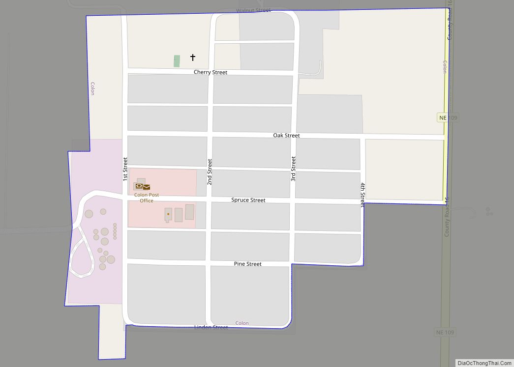
Online Interactive Map
Click on ![]() to view map in "full screen" mode.
to view map in "full screen" mode.
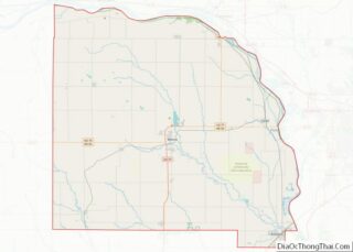
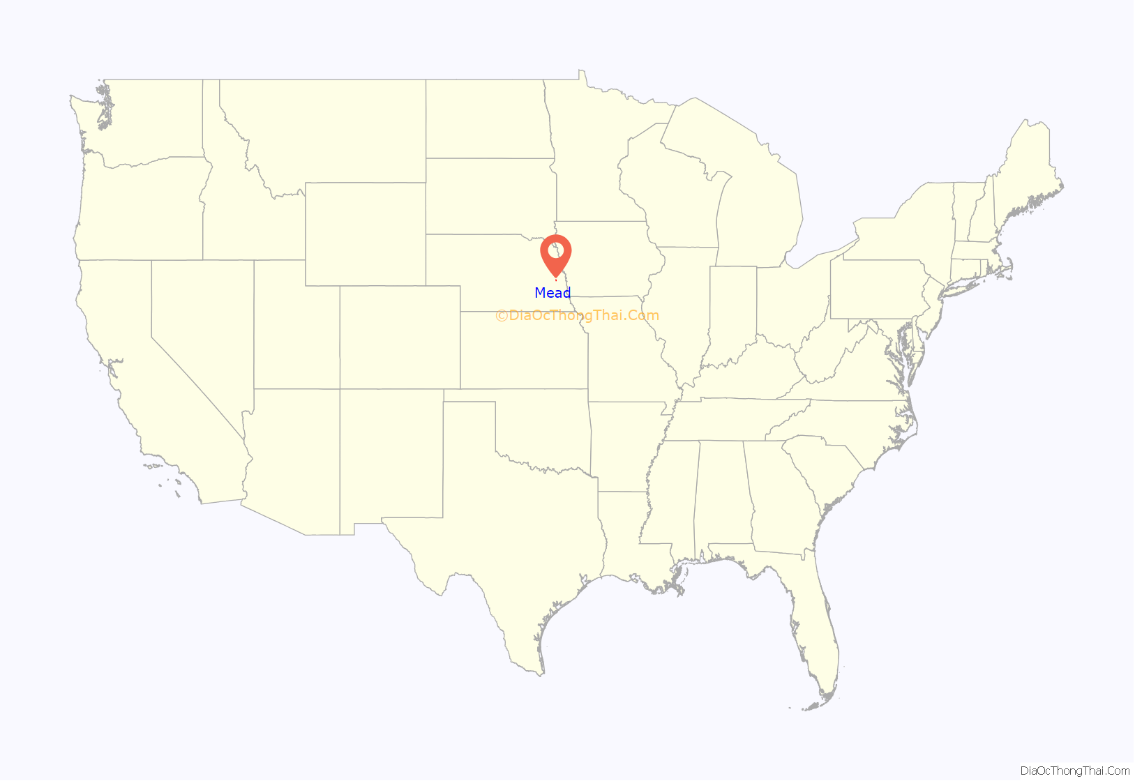
Mead location map. Where is Mead village?
History
Mead was originally built up chiefly by Swedes. Mead was first called Saunders, and under the latter name was platted in 1877 when the railroad was extended to that point. It was renamed in 1880, likely for a Union Pacific railroad official.
The E3 Biofuels, an ethanol production facility in the country, used a patented “closed loop” system. E3 started operation in 2007 and went bankrupt a few months later in late 2007. AltEn reopened the plant. The plant closed again in February 2021. The plant property is highly contaminated with neonicotinoids.
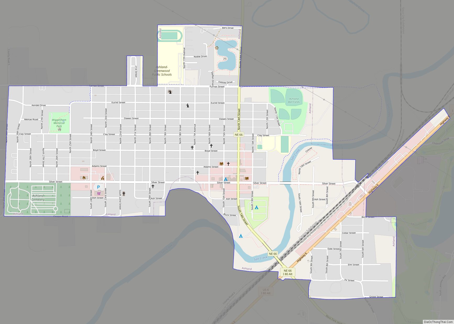
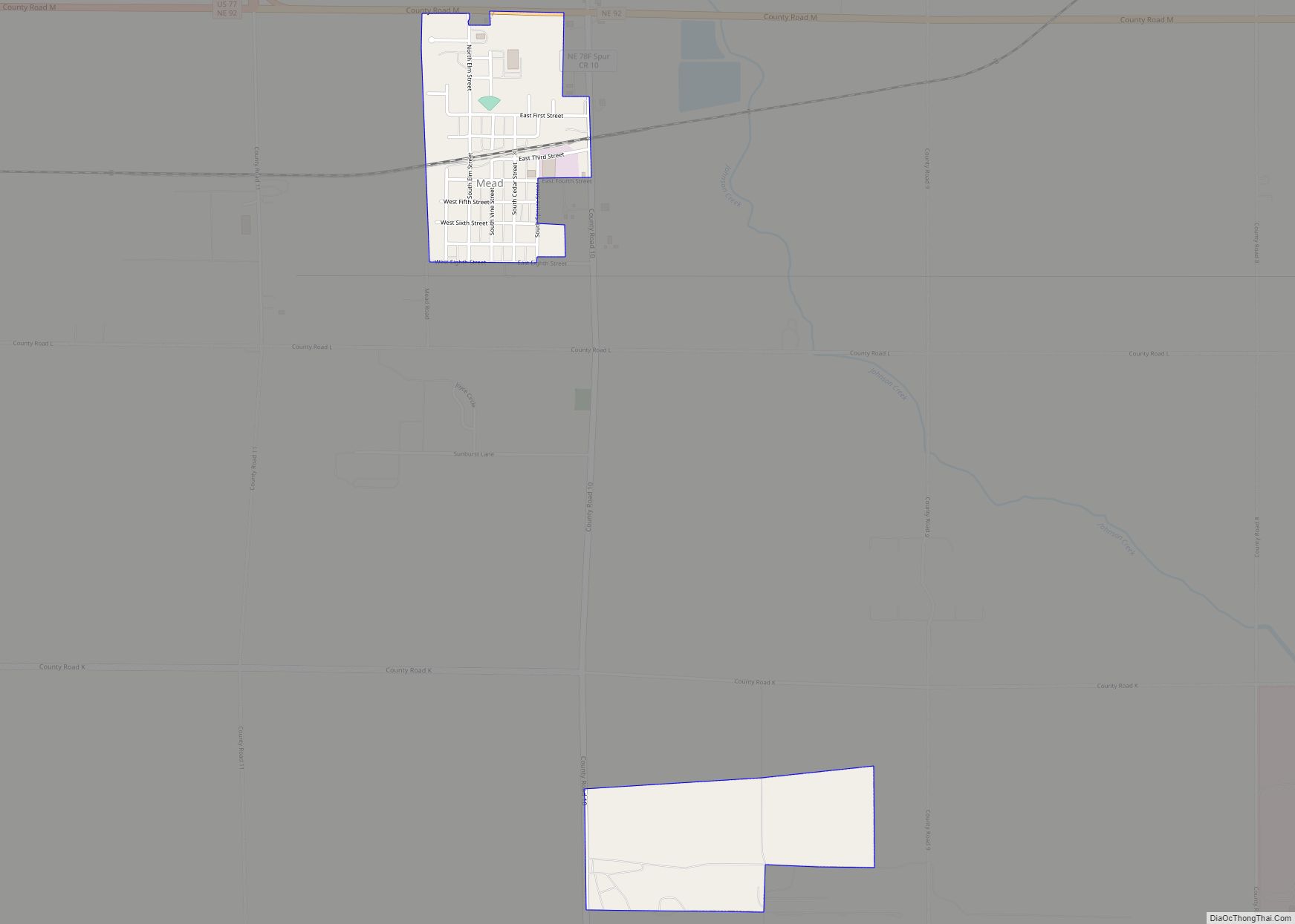
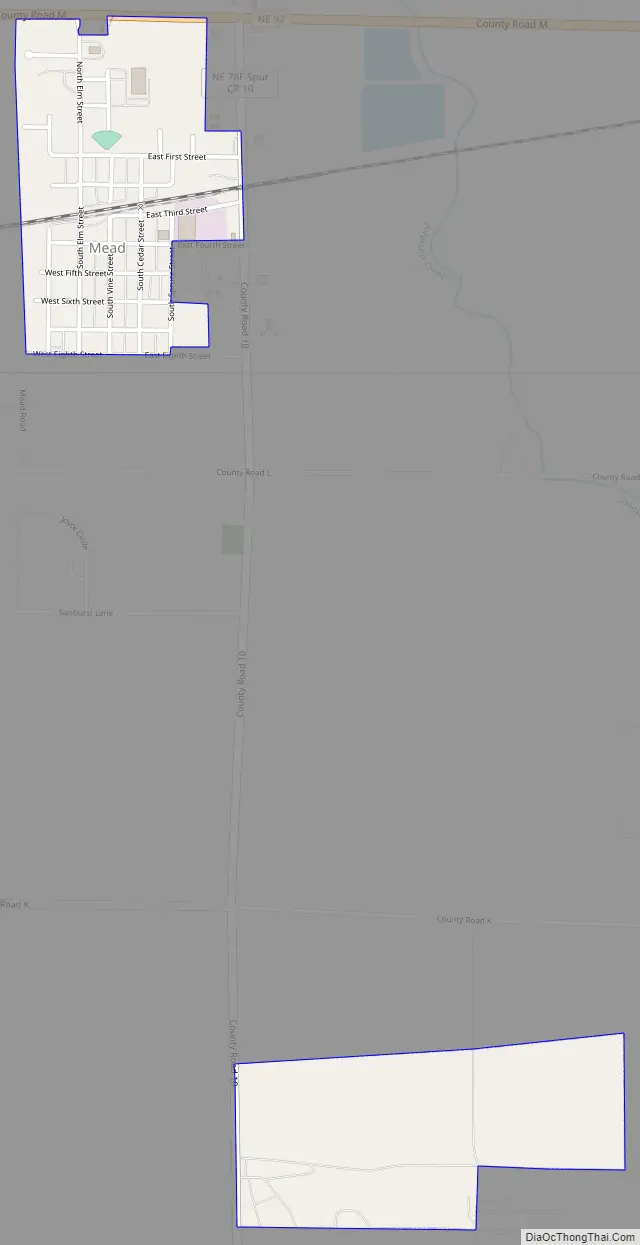
Mead Road Map
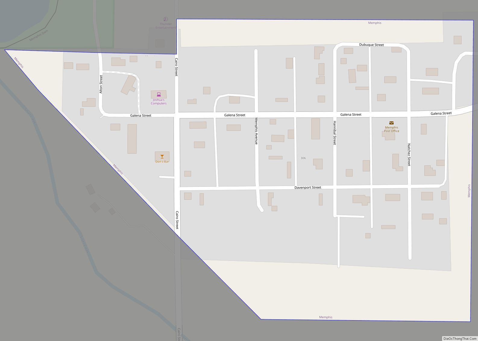
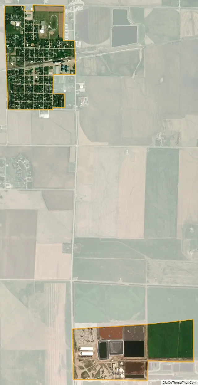
Mead city Satellite Map
Geography
According to the United States Census Bureau, the village has a total area of 0.62 square miles (1.61 km), of which 0.61 square miles (1.58 km) is land and 0.01 square miles (0.03 km) is water.
Climate
See also
Map of Nebraska State and its subdivision:- Adams
- Antelope
- Arthur
- Banner
- Blaine
- Boone
- Box Butte
- Boyd
- Brown
- Buffalo
- Burt
- Butler
- Cass
- Cedar
- Chase
- Cherry
- Cheyenne
- Clay
- Colfax
- Cuming
- Custer
- Dakota
- Dawes
- Dawson
- Deuel
- Dixon
- Dodge
- Douglas
- Dundy
- Fillmore
- Franklin
- Frontier
- Furnas
- Gage
- Garden
- Garfield
- Gosper
- Grant
- Greeley
- Hall
- Hamilton
- Harlan
- Hayes
- Hitchcock
- Holt
- Hooker
- Howard
- Jefferson
- Johnson
- Kearney
- Keith
- Keya Paha
- Kimball
- Knox
- Lancaster
- Lincoln
- Logan
- Loup
- Madison
- McPherson
- Merrick
- Morrill
- Nance
- Nemaha
- Nuckolls
- Otoe
- Pawnee
- Perkins
- Phelps
- Pierce
- Platte
- Polk
- Red Willow
- Richardson
- Rock
- Saline
- Sarpy
- Saunders
- Scotts Bluff
- Seward
- Sheridan
- Sherman
- Sioux
- Stanton
- Thayer
- Thomas
- Thurston
- Valley
- Washington
- Wayne
- Webster
- Wheeler
- York
- Alabama
- Alaska
- Arizona
- Arkansas
- California
- Colorado
- Connecticut
- Delaware
- District of Columbia
- Florida
- Georgia
- Hawaii
- Idaho
- Illinois
- Indiana
- Iowa
- Kansas
- Kentucky
- Louisiana
- Maine
- Maryland
- Massachusetts
- Michigan
- Minnesota
- Mississippi
- Missouri
- Montana
- Nebraska
- Nevada
- New Hampshire
- New Jersey
- New Mexico
- New York
- North Carolina
- North Dakota
- Ohio
- Oklahoma
- Oregon
- Pennsylvania
- Rhode Island
- South Carolina
- South Dakota
- Tennessee
- Texas
- Utah
- Vermont
- Virginia
- Washington
- West Virginia
- Wisconsin
- Wyoming