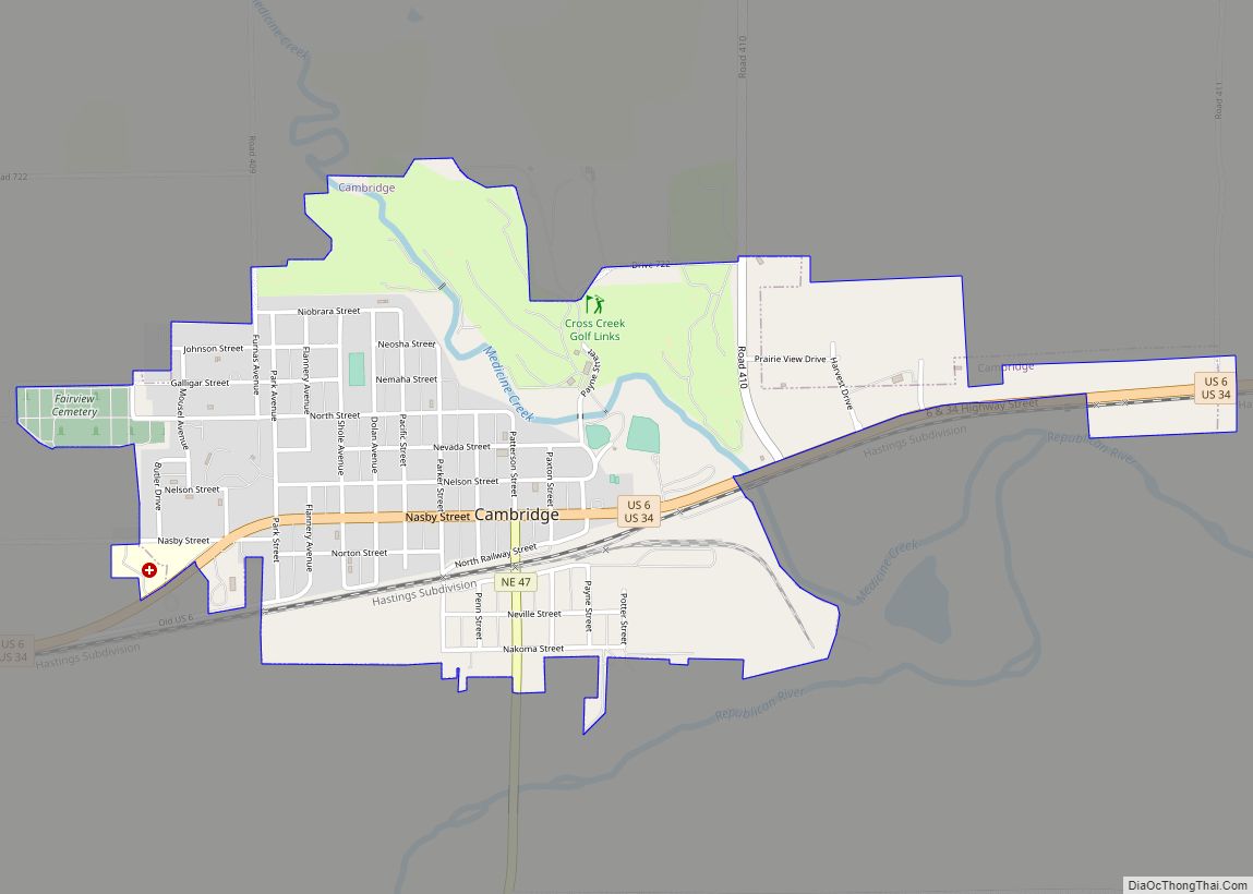
Oxford is a village in Furnas and Harlan counties in the U.S. state of Nebraska. The population was 779 at the 2010 census.
| Name: | Oxford village |
|---|---|
| LSAD Code: | 47 |
| LSAD Description: | village (suffix) |
| State: | Nebraska |
| County: | Furnas County, Harlan County |
| Elevation: | 2,077 ft (633 m) |
| Total Area: | 0.91 sq mi (2.36 km²) |
| Land Area: | 0.91 sq mi (2.36 km²) |
| Water Area: | 0.00 sq mi (0.00 km²) |
| Total Population: | 718 |
| Population Density: | 789.01/sq mi (304.65/km²) |
| ZIP code: | 68967 |
| Area code: | 308 |
| FIPS code: | 3137910 |
| GNISfeature ID: | 0831942 |
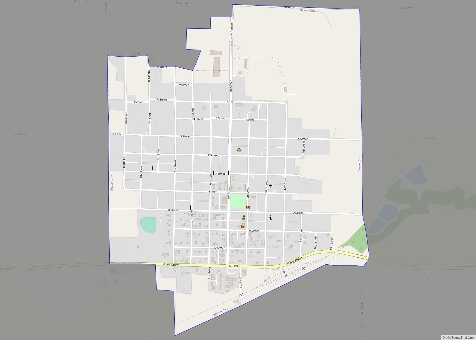
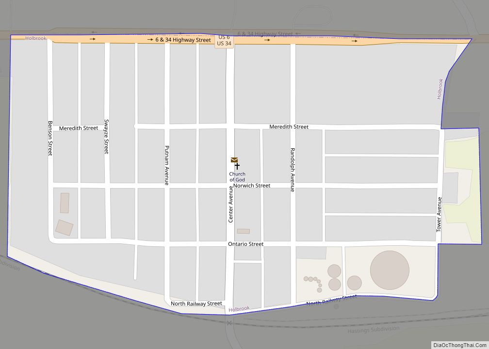
Online Interactive Map
Click on ![]() to view map in "full screen" mode.
to view map in "full screen" mode.
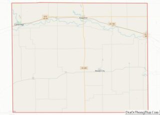
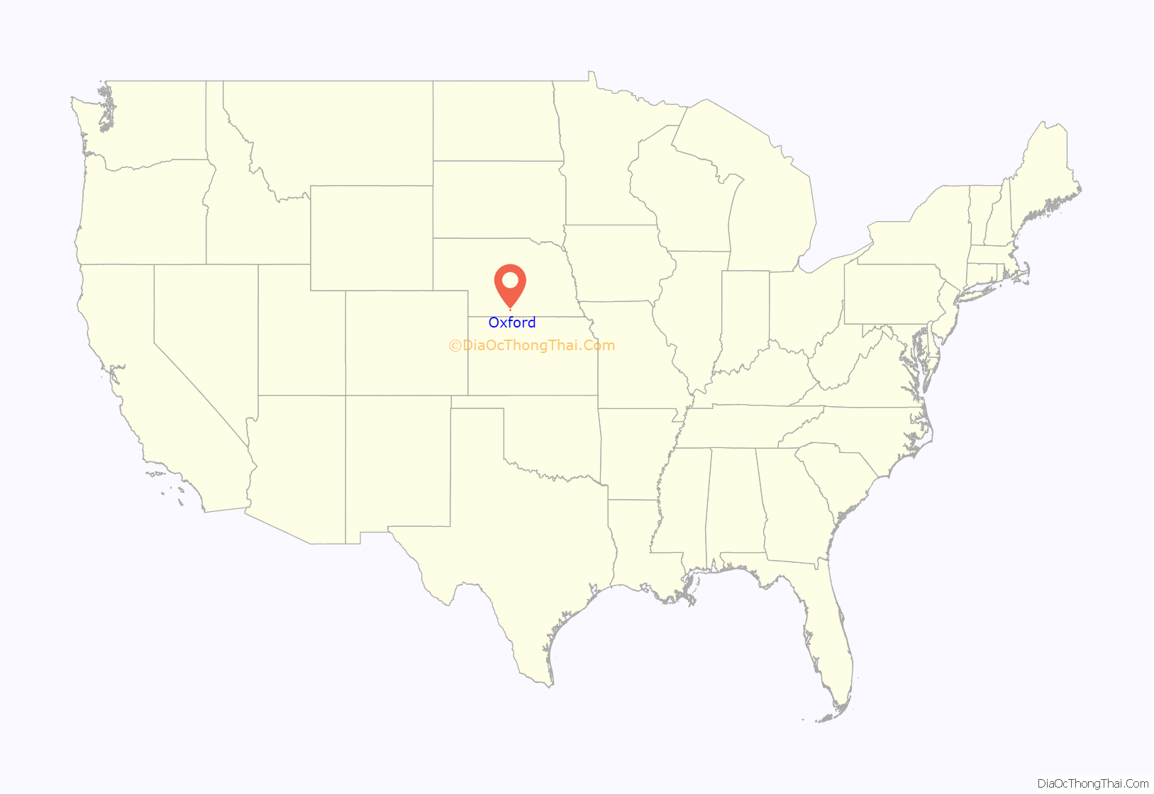
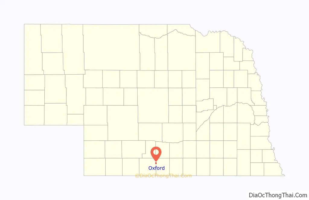
Oxford location map. Where is Oxford village?
History
Oxford was established as a town in 1880, when the railroad was extended to that point.
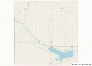
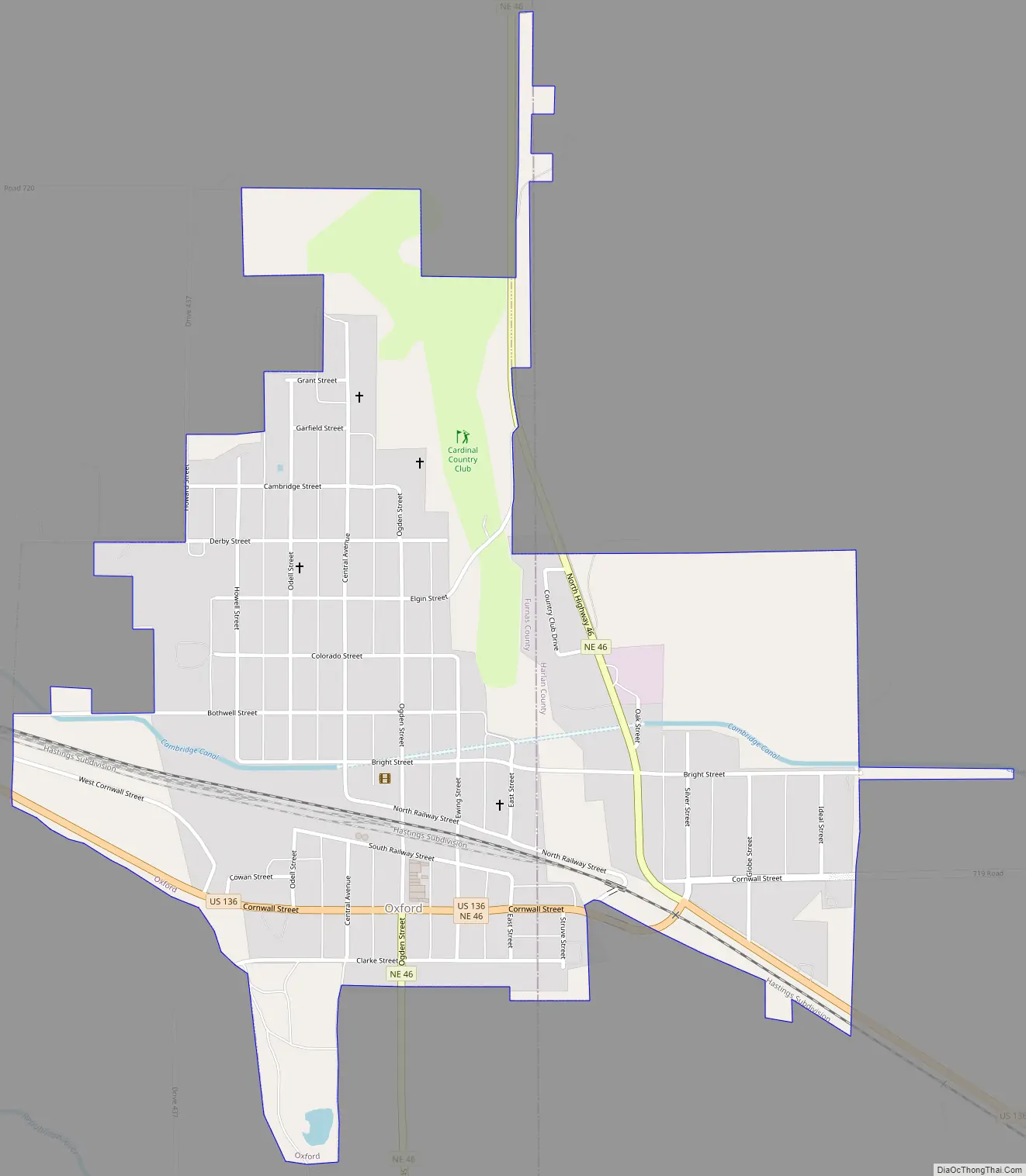
Oxford Road Map
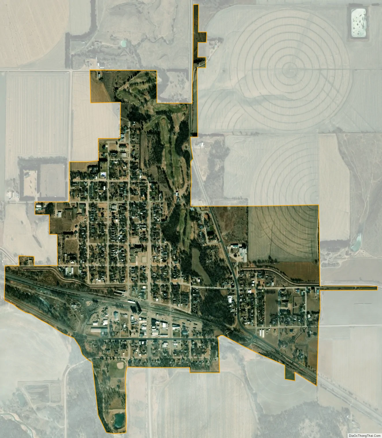
Oxford city Satellite Map
Geography
Oxford is located at 40°15′8″N 99°37′58″W / 40.25222°N 99.63278°W / 40.25222; -99.63278 (40.252091, -99.632913). Most of Oxford is in Furnas County, while a small portion lies in Harlan County.
According to the United States Census Bureau, the village has a total area of 0.95 square miles (2.46 km), all land.
See also
Map of Nebraska State and its subdivision:- Adams
- Antelope
- Arthur
- Banner
- Blaine
- Boone
- Box Butte
- Boyd
- Brown
- Buffalo
- Burt
- Butler
- Cass
- Cedar
- Chase
- Cherry
- Cheyenne
- Clay
- Colfax
- Cuming
- Custer
- Dakota
- Dawes
- Dawson
- Deuel
- Dixon
- Dodge
- Douglas
- Dundy
- Fillmore
- Franklin
- Frontier
- Furnas
- Gage
- Garden
- Garfield
- Gosper
- Grant
- Greeley
- Hall
- Hamilton
- Harlan
- Hayes
- Hitchcock
- Holt
- Hooker
- Howard
- Jefferson
- Johnson
- Kearney
- Keith
- Keya Paha
- Kimball
- Knox
- Lancaster
- Lincoln
- Logan
- Loup
- Madison
- McPherson
- Merrick
- Morrill
- Nance
- Nemaha
- Nuckolls
- Otoe
- Pawnee
- Perkins
- Phelps
- Pierce
- Platte
- Polk
- Red Willow
- Richardson
- Rock
- Saline
- Sarpy
- Saunders
- Scotts Bluff
- Seward
- Sheridan
- Sherman
- Sioux
- Stanton
- Thayer
- Thomas
- Thurston
- Valley
- Washington
- Wayne
- Webster
- Wheeler
- York
- Alabama
- Alaska
- Arizona
- Arkansas
- California
- Colorado
- Connecticut
- Delaware
- District of Columbia
- Florida
- Georgia
- Hawaii
- Idaho
- Illinois
- Indiana
- Iowa
- Kansas
- Kentucky
- Louisiana
- Maine
- Maryland
- Massachusetts
- Michigan
- Minnesota
- Mississippi
- Missouri
- Montana
- Nebraska
- Nevada
- New Hampshire
- New Jersey
- New Mexico
- New York
- North Carolina
- North Dakota
- Ohio
- Oklahoma
- Oregon
- Pennsylvania
- Rhode Island
- South Carolina
- South Dakota
- Tennessee
- Texas
- Utah
- Vermont
- Virginia
- Washington
- West Virginia
- Wisconsin
- Wyoming