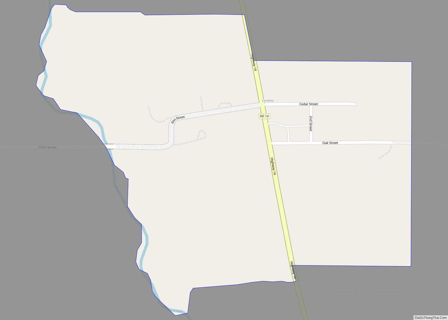
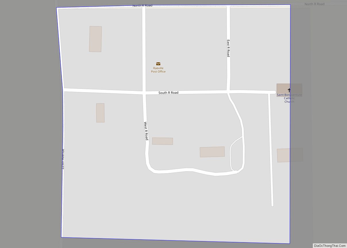
Raeville is an unincorporated village, and part of a namesake census-designated place, in Boone County, Nebraska, United States. As of the 2010 census, the community had a population of 22. Raeville is the location of the still-active St. Bonaventure Church Complex, which is on the National Register of Historic Places. The community consists of that and three privately owned farms.
| Name: | Raeville CDP |
|---|---|
| LSAD Code: | 57 |
| LSAD Description: | CDP (suffix) |
| State: | Nebraska |
| County: | Boone County |
| Total Area: | 0.05 sq mi (0.13 km²) |
| Land Area: | 0.05 sq mi (0.13 km²) |
| Water Area: | 0.00 sq mi (0.00 km²) |
| Total Population: | 18 |
| Population Density: | 360.00/sq mi (139.90/km²) |
| FIPS code: | 3140535 |
| GNISfeature ID: | 0832437 |
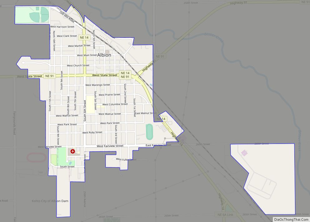
Online Interactive Map
Click on ![]() to view map in "full screen" mode.
to view map in "full screen" mode.
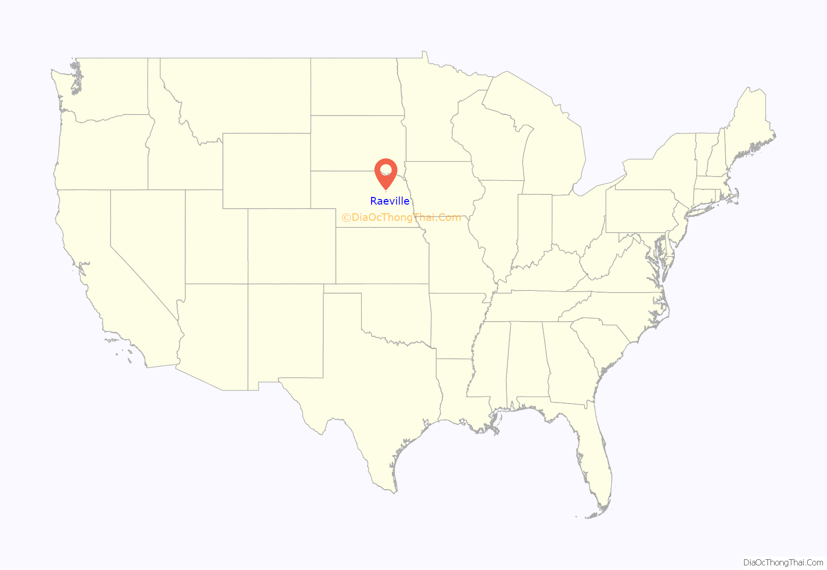
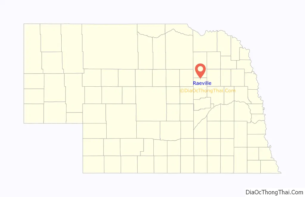
Raeville location map. Where is Raeville CDP?
History
A post office was established at Raeville in 1884, closed in 1887, reopened in 1918, and reclosed in 1982. According to tradition, the village was named for two brothers surnamed Rae.
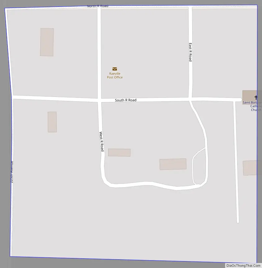
Raeville Road Map
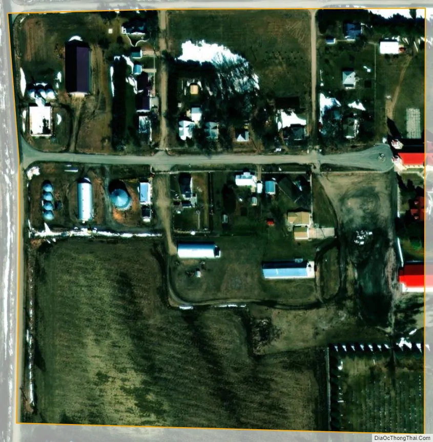
Raeville city Satellite Map
Geography
Raeville is located at 41°53′30″N 98°3′9″W / 41.89167°N 98.05250°W / 41.89167; -98.05250 (41.89725, -98.05248).
According to the United States Census Bureau, the community has a total area of 0.05 square mile (0.13 km), all land.
See also
Map of Nebraska State and its subdivision:- Adams
- Antelope
- Arthur
- Banner
- Blaine
- Boone
- Box Butte
- Boyd
- Brown
- Buffalo
- Burt
- Butler
- Cass
- Cedar
- Chase
- Cherry
- Cheyenne
- Clay
- Colfax
- Cuming
- Custer
- Dakota
- Dawes
- Dawson
- Deuel
- Dixon
- Dodge
- Douglas
- Dundy
- Fillmore
- Franklin
- Frontier
- Furnas
- Gage
- Garden
- Garfield
- Gosper
- Grant
- Greeley
- Hall
- Hamilton
- Harlan
- Hayes
- Hitchcock
- Holt
- Hooker
- Howard
- Jefferson
- Johnson
- Kearney
- Keith
- Keya Paha
- Kimball
- Knox
- Lancaster
- Lincoln
- Logan
- Loup
- Madison
- McPherson
- Merrick
- Morrill
- Nance
- Nemaha
- Nuckolls
- Otoe
- Pawnee
- Perkins
- Phelps
- Pierce
- Platte
- Polk
- Red Willow
- Richardson
- Rock
- Saline
- Sarpy
- Saunders
- Scotts Bluff
- Seward
- Sheridan
- Sherman
- Sioux
- Stanton
- Thayer
- Thomas
- Thurston
- Valley
- Washington
- Wayne
- Webster
- Wheeler
- York
- Alabama
- Alaska
- Arizona
- Arkansas
- California
- Colorado
- Connecticut
- Delaware
- District of Columbia
- Florida
- Georgia
- Hawaii
- Idaho
- Illinois
- Indiana
- Iowa
- Kansas
- Kentucky
- Louisiana
- Maine
- Maryland
- Massachusetts
- Michigan
- Minnesota
- Mississippi
- Missouri
- Montana
- Nebraska
- Nevada
- New Hampshire
- New Jersey
- New Mexico
- New York
- North Carolina
- North Dakota
- Ohio
- Oklahoma
- Oregon
- Pennsylvania
- Rhode Island
- South Carolina
- South Dakota
- Tennessee
- Texas
- Utah
- Vermont
- Virginia
- Washington
- West Virginia
- Wisconsin
- Wyoming