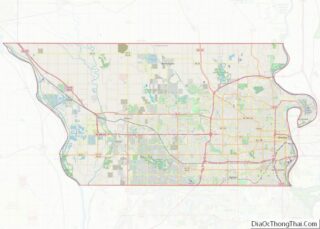
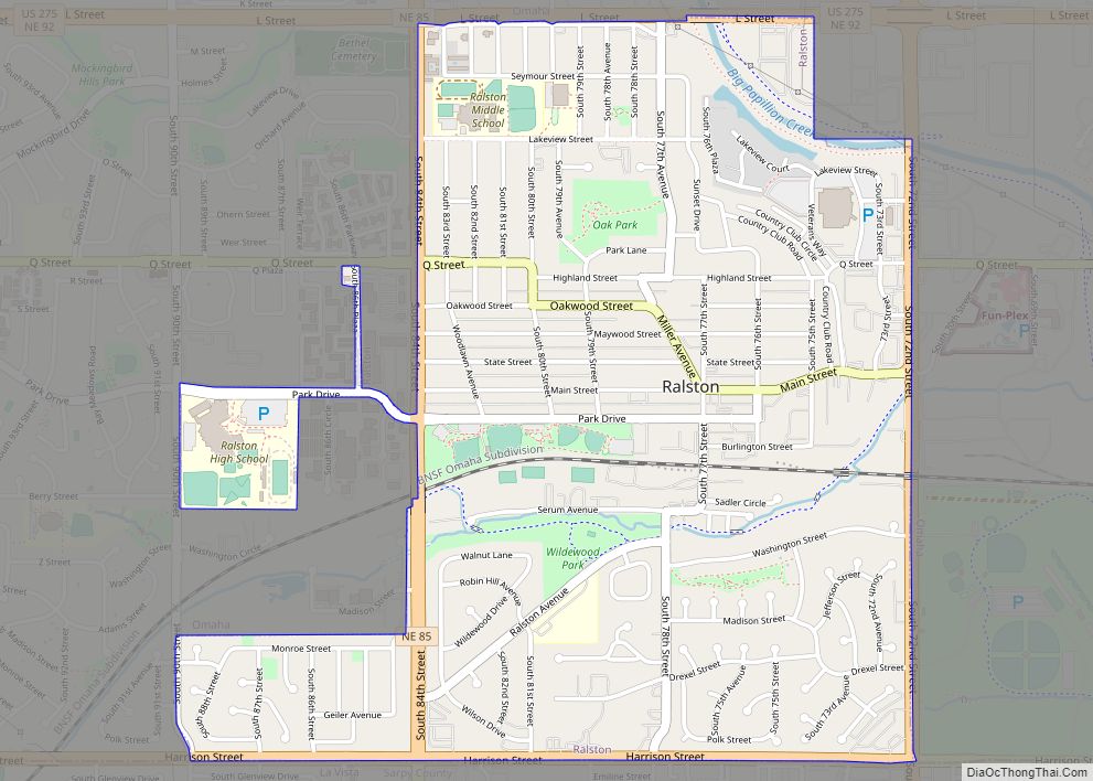
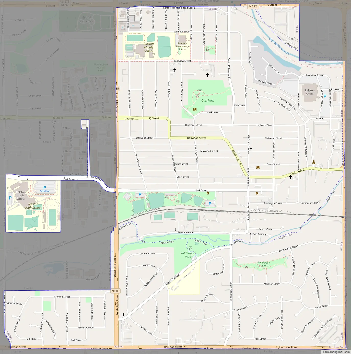
Ralston is a city in Douglas County, Nebraska, United States. The population was 6,494 at the 2020 census. A suburb of Omaha, Ralston is surrounded on three sides by the city of Omaha by 84th, 72nd, and L Streets, and by Sarpy County (Harrison Street) on the south side.
| Name: | Ralston city |
|---|---|
| LSAD Code: | 25 |
| LSAD Description: | city (suffix) |
| State: | Nebraska |
| County: | Douglas County |
| Elevation: | 1,093 ft (333 m) |
| Total Area: | 1.60 sq mi (4.14 km²) |
| Land Area: | 1.59 sq mi (4.11 km²) |
| Water Area: | 0.01 sq mi (0.03 km²) |
| Total Population: | 6,494 |
| Population Density: | 4,085.53/sq mi (1,580.04/km²) |
| ZIP code: | 68127 |
| Area code: | 402 and 531 |
| FIPS code: | 3140605 |
| GNISfeature ID: | 2396309 |
| Website: | http://cityofralston.com/ |
Online Interactive Map
Click on ![]() to view map in "full screen" mode.
to view map in "full screen" mode.
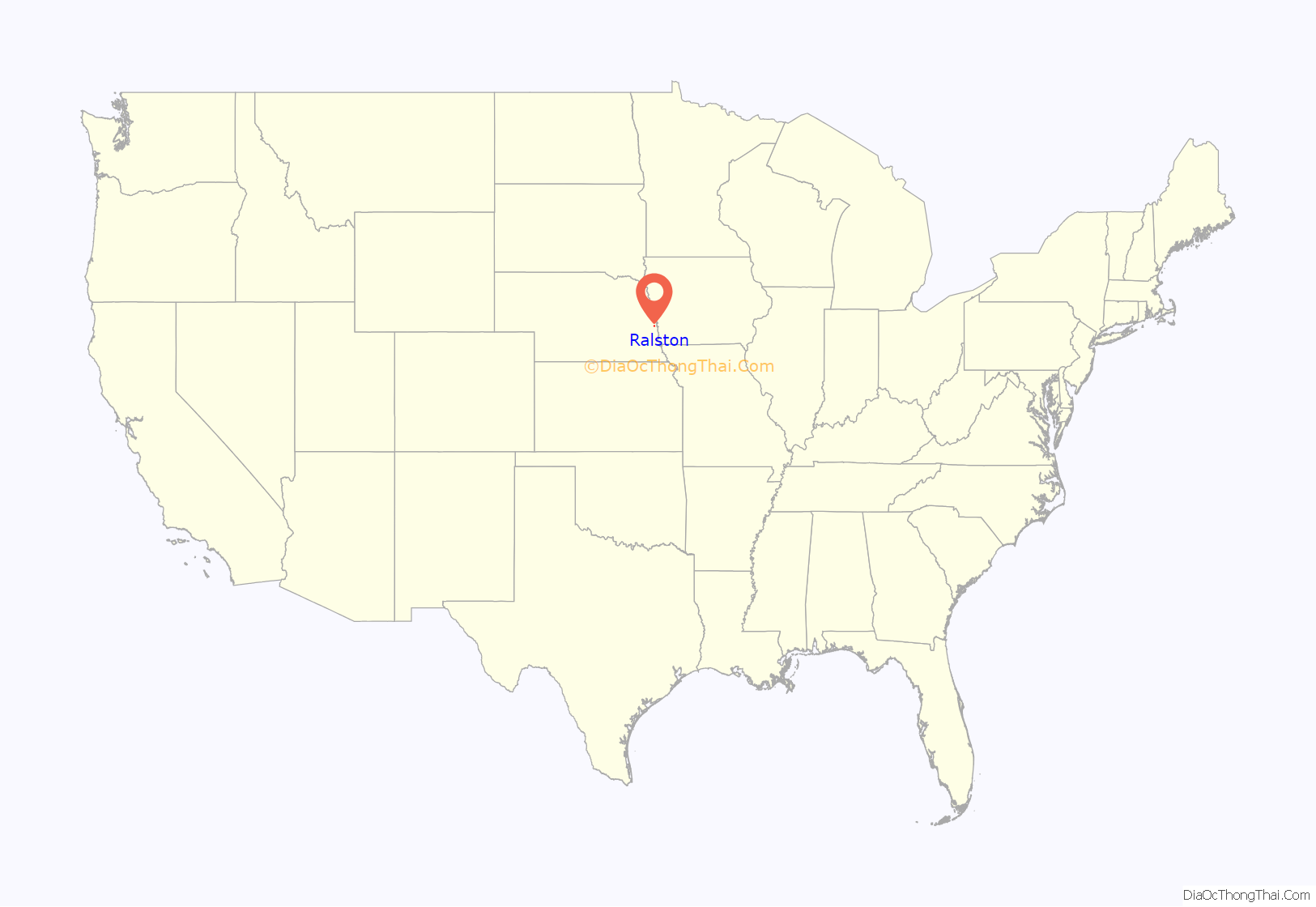
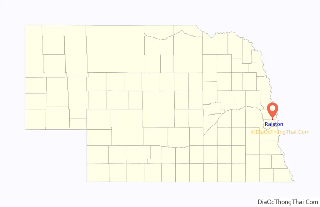
Ralston location map. Where is Ralston city?
History
The area of the townsite was established on May 23, 1907 with the sale of 282.7 acres of land owned by Omaha newspaper editor George L Miller to the Ralston Investment Company. A year later the town was platted by future Omaha mayor Roy N. Towl. A petition to incorporate the property as a village was submitted to the Douglas County Board of Commissions on June 22, 1912, which was adopted by the Board two days later on June 24.
The still nascent village experienced a devastating blow to its development on Easter, March 23, 1913, when a tornado tore through the downtown area. The 1913 Easter Tornado was part of a March 1913 tornado outbreak sequence that ripped through the Southern and Midwestern regions of the United States.
In 1934, following a fire that destroyed half a city block, Ralston declared bankruptcy; it was one of the first cities in the United States to do so.
Ralston Road Map
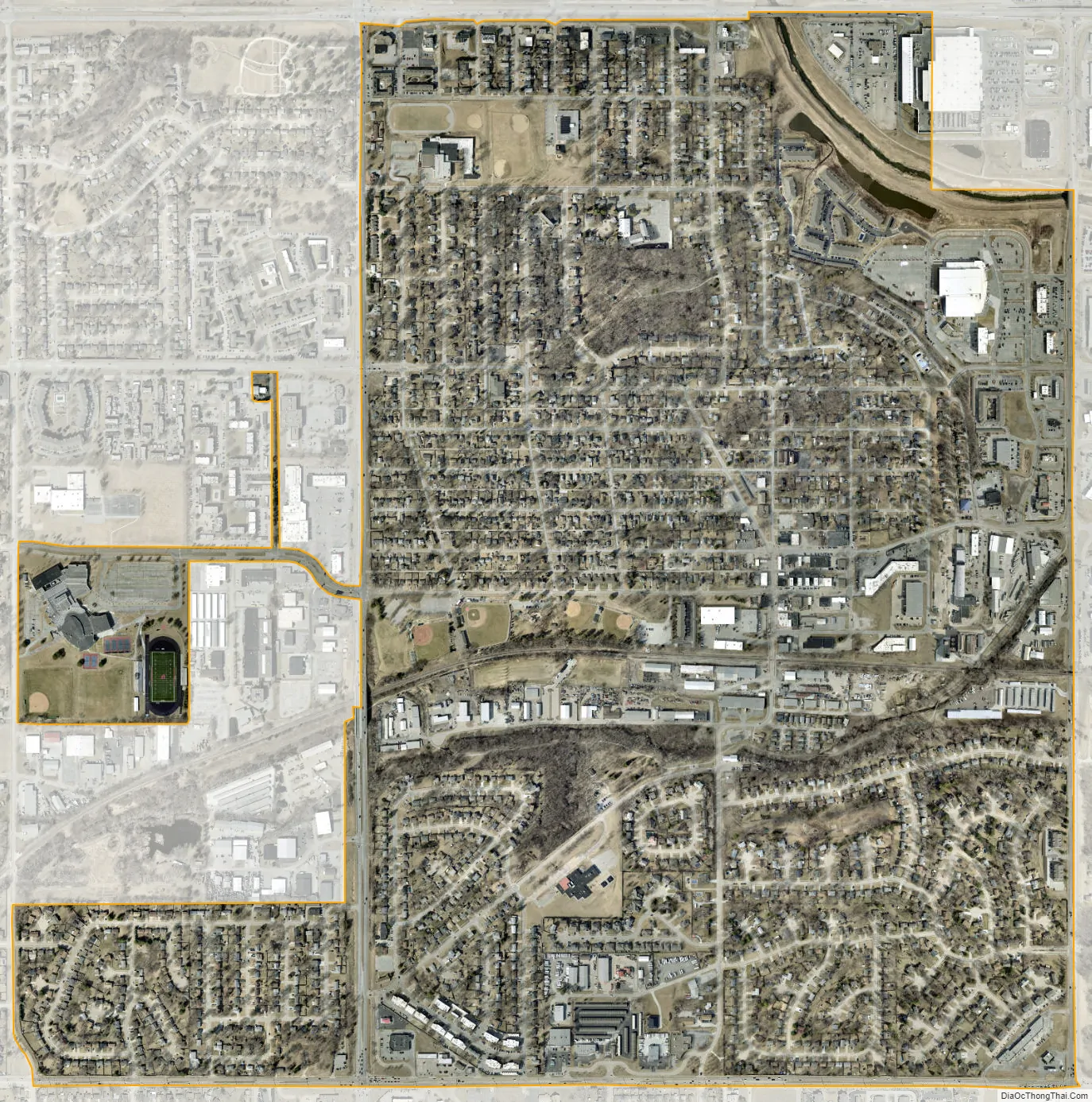
Ralston city Satellite Map
Geography
Ralston is located at 41°12′8″N 96°2′14″W / 41.20222°N 96.03722°W / 41.20222; -96.03722 (41.202198, -96.037168).
According to the United States Census Bureau, the city has a total area of 1.65 square miles (4.27 km), of which 1.64 square miles (4.25 km) is land and 0.01 square miles (0.03 km) is water.
The nearest hospital is Bergan Mercy Hospital (3.7 miles) located in Omaha.
See also
Map of Nebraska State and its subdivision:- Adams
- Antelope
- Arthur
- Banner
- Blaine
- Boone
- Box Butte
- Boyd
- Brown
- Buffalo
- Burt
- Butler
- Cass
- Cedar
- Chase
- Cherry
- Cheyenne
- Clay
- Colfax
- Cuming
- Custer
- Dakota
- Dawes
- Dawson
- Deuel
- Dixon
- Dodge
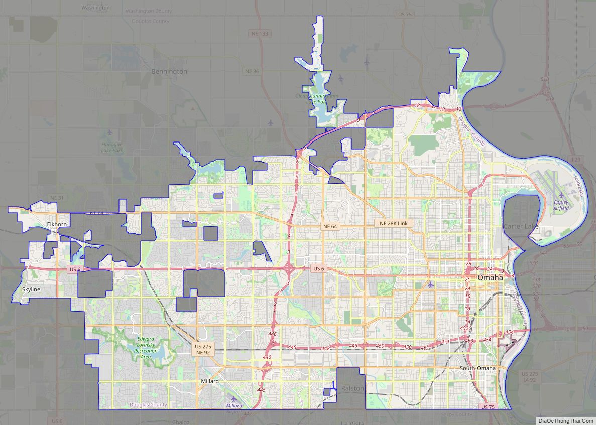
- Douglas
- Dundy
- Fillmore
- Franklin
- Frontier
- Furnas
- Gage
- Garden
- Garfield
- Gosper
- Grant
- Greeley
- Hall
- Hamilton
- Harlan
- Hayes
- Hitchcock
- Holt
- Hooker
- Howard
- Jefferson
- Johnson
- Kearney
- Keith
- Keya Paha
- Kimball
- Knox
- Lancaster
- Lincoln
- Logan
- Loup
- Madison
- McPherson
- Merrick
- Morrill
- Nance
- Nemaha
- Nuckolls
- Otoe
- Pawnee
- Perkins
- Phelps
- Pierce
- Platte
- Polk
- Red Willow
- Richardson
- Rock
- Saline
- Sarpy
- Saunders
- Scotts Bluff
- Seward
- Sheridan
- Sherman
- Sioux
- Stanton
- Thayer
- Thomas
- Thurston
- Valley
- Washington
- Wayne
- Webster
- Wheeler
- York
- Alabama
- Alaska
- Arizona
- Arkansas
- California
- Colorado
- Connecticut
- Delaware
- District of Columbia
- Florida
- Georgia
- Hawaii
- Idaho
- Illinois
- Indiana
- Iowa
- Kansas
- Kentucky
- Louisiana
- Maine
- Maryland
- Massachusetts
- Michigan
- Minnesota
- Mississippi
- Missouri
- Montana
- Nebraska
- Nevada
- New Hampshire
- New Jersey
- New Mexico
- New York
- North Carolina
- North Dakota
- Ohio
- Oklahoma
- Oregon
- Pennsylvania
- Rhode Island
- South Carolina
- South Dakota
- Tennessee
- Texas
- Utah
- Vermont
- Virginia
- Washington
- West Virginia
- Wisconsin
- Wyoming