Randolph is a city in Cedar County, Nebraska, United States. The population was 881 at the 2020 census. It refers to itself as “The Honey Capital of the Nation” due to the per-capita number of bee keeping families.
| Name: | Randolph city |
|---|---|
| LSAD Code: | 25 |
| LSAD Description: | city (suffix) |
| State: | Nebraska |
| County: | Cedar County |
| Incorporated: | 1889 |
| Elevation: | 1,657 ft (505 m) |
| Total Area: | 1.05 sq mi (2.71 km²) |
| Land Area: | 1.05 sq mi (2.71 km²) |
| Water Area: | 0.00 sq mi (0.00 km²) |
| Total Population: | 881 |
| Population Density: | 840.34/sq mi (324.58/km²) |
| ZIP code: | 68771 |
| Area code: | 402 |
| FIPS code: | 3140675 |
| GNISfeature ID: | 0832446 |
| Website: | http://www.ci.randolph.ne.us/ |
Online Interactive Map
Click on ![]() to view map in "full screen" mode.
to view map in "full screen" mode.
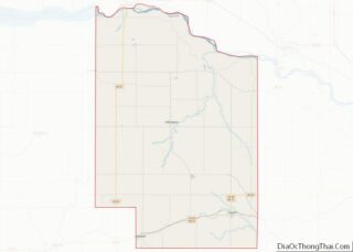
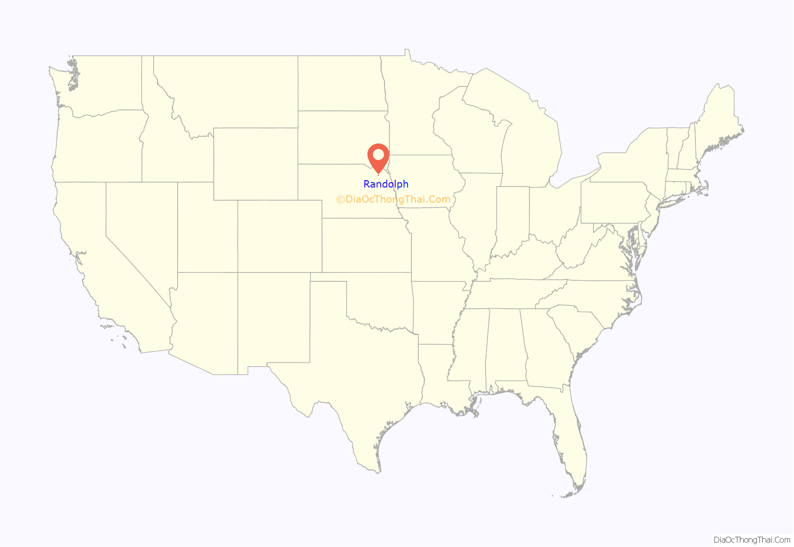
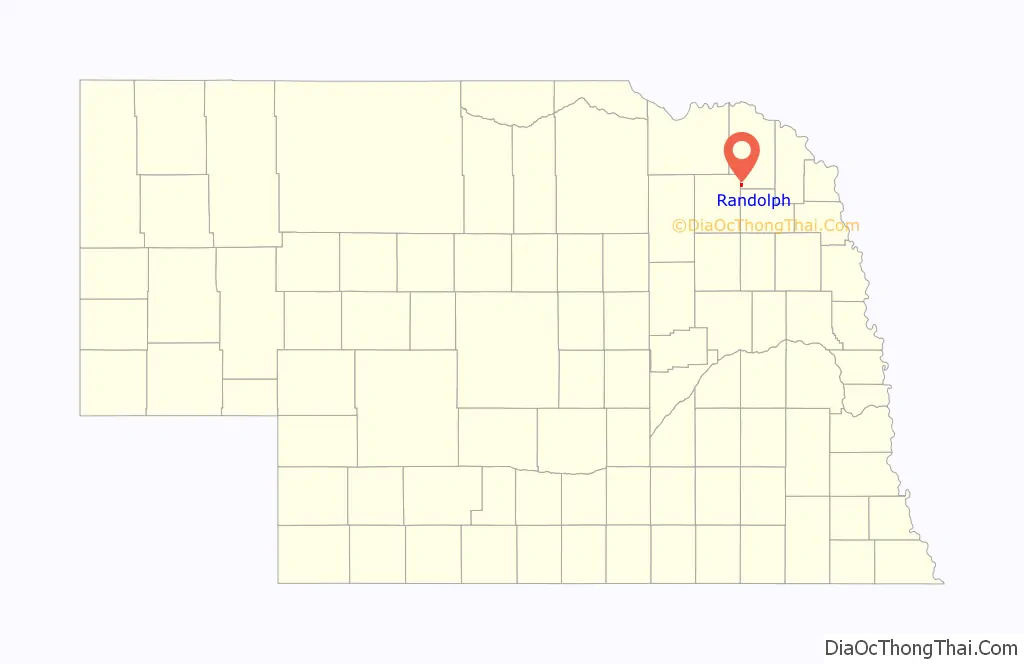
Randolph location map. Where is Randolph city?
History
Randolph got its start in the year 1886, following construction of the railroad through the territory. It was named for Lord Randolph Churchill, a British statesman. Randolph was incorporated on May 7, 1889.
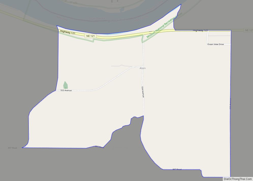
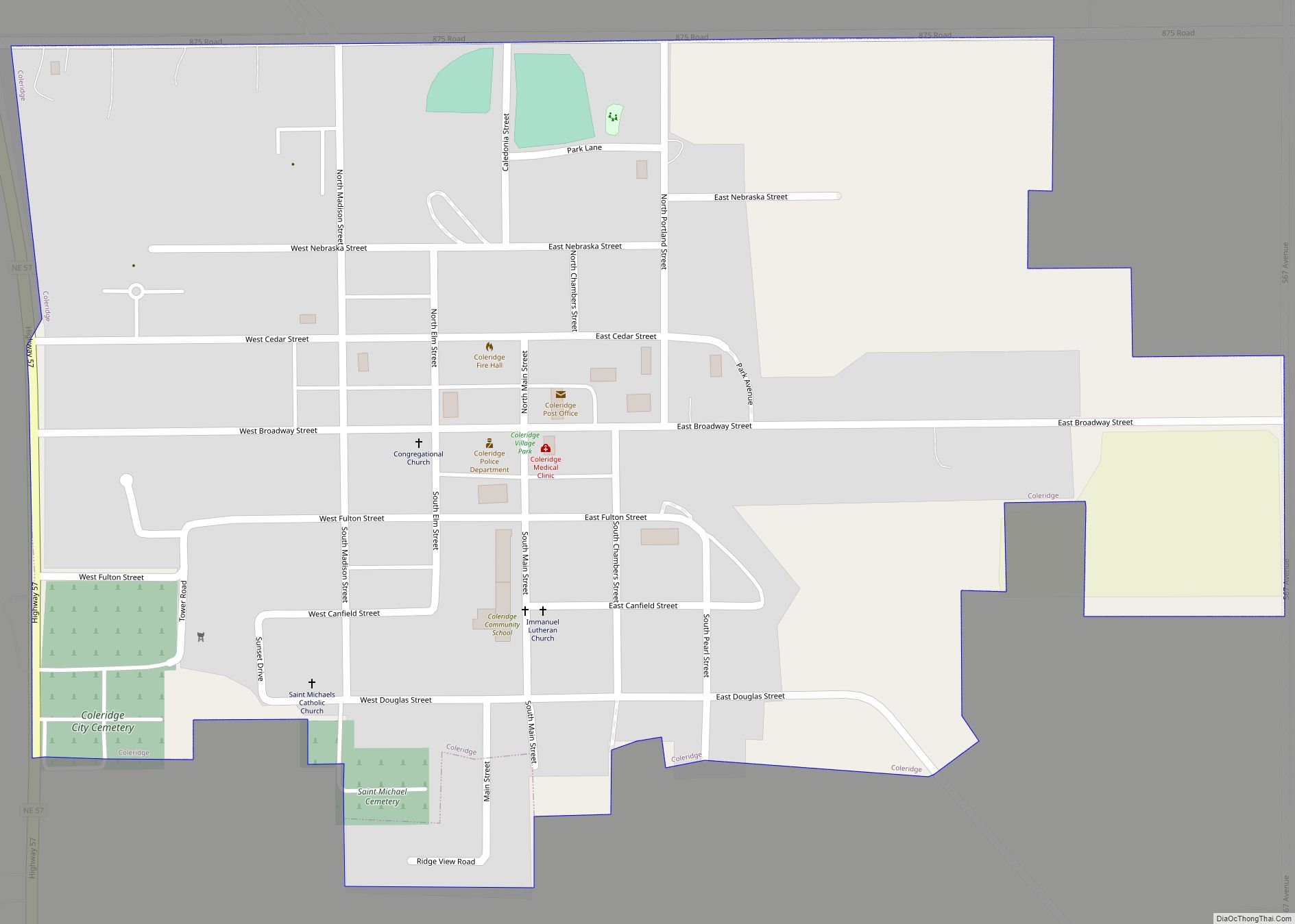
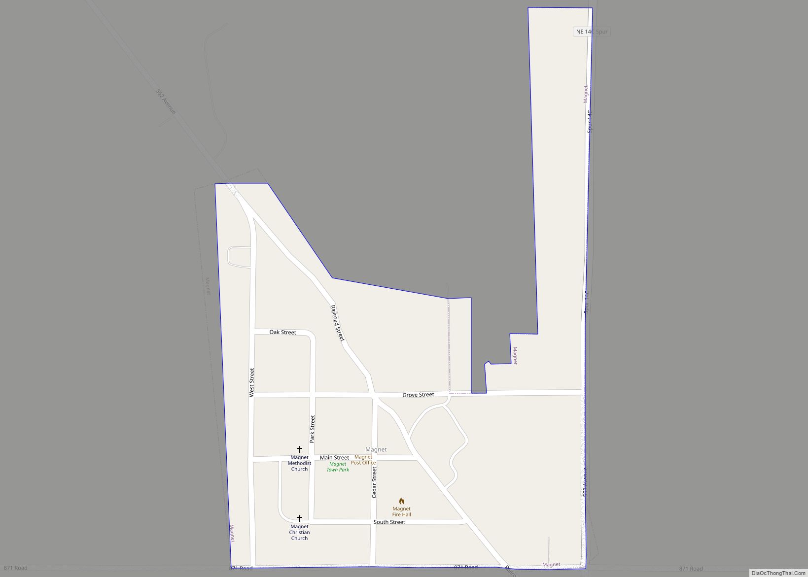
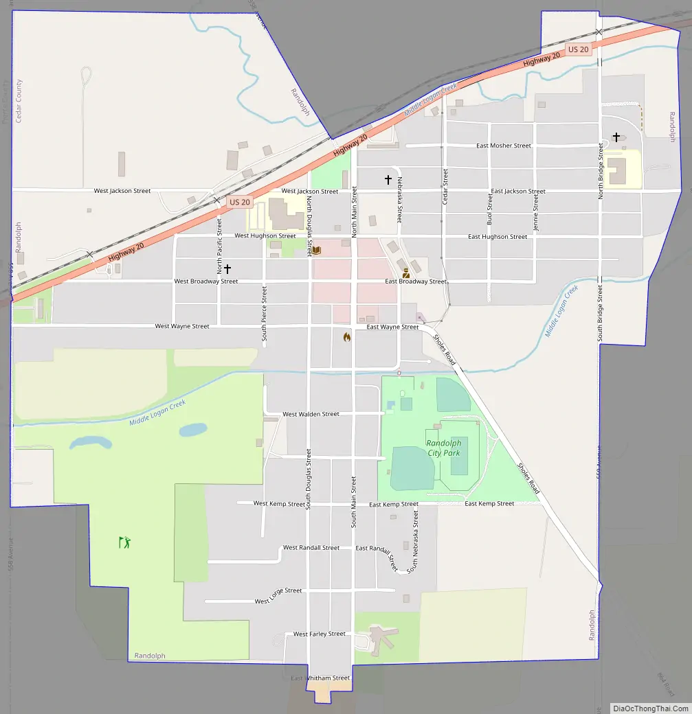
Randolph Road Map
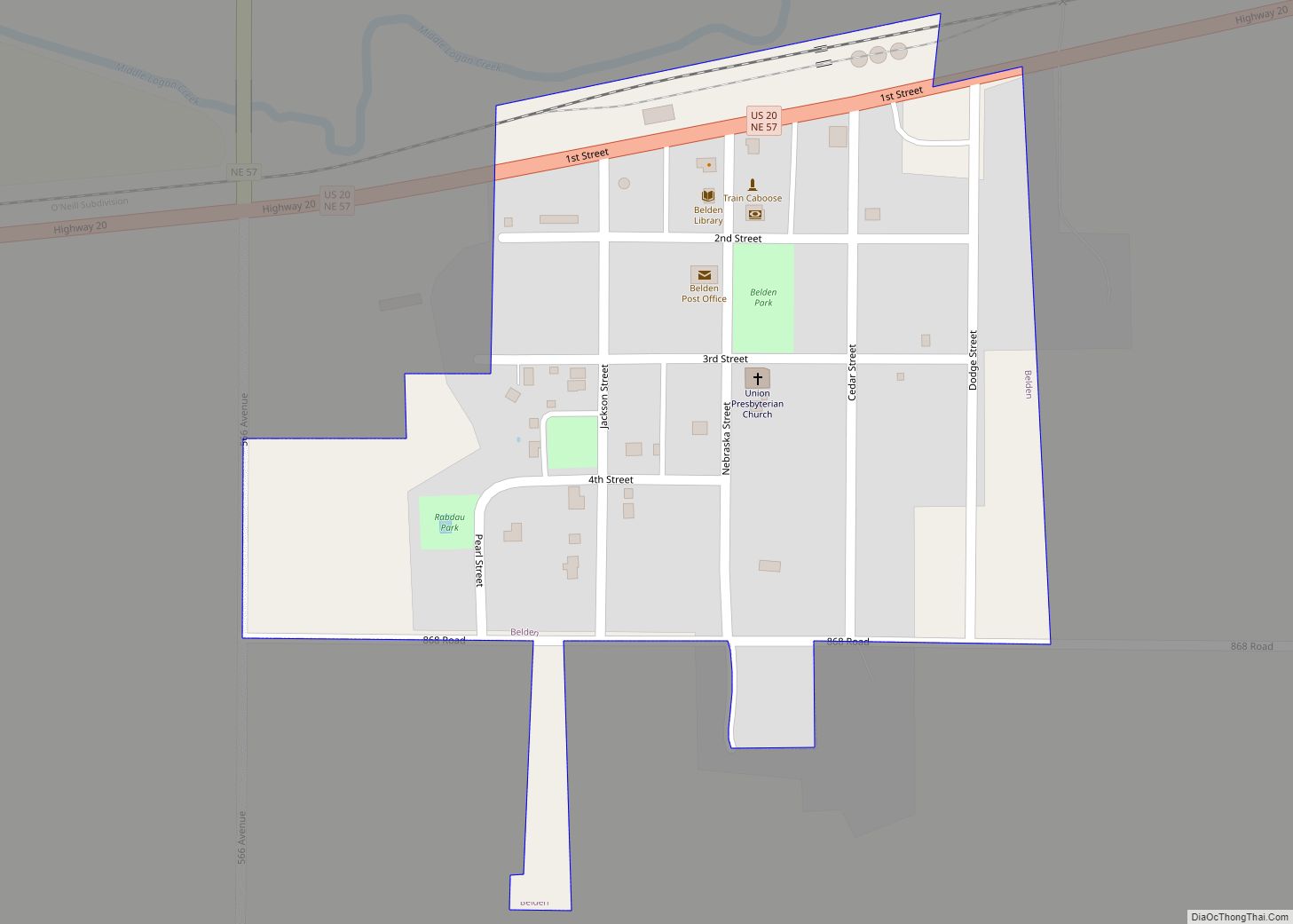
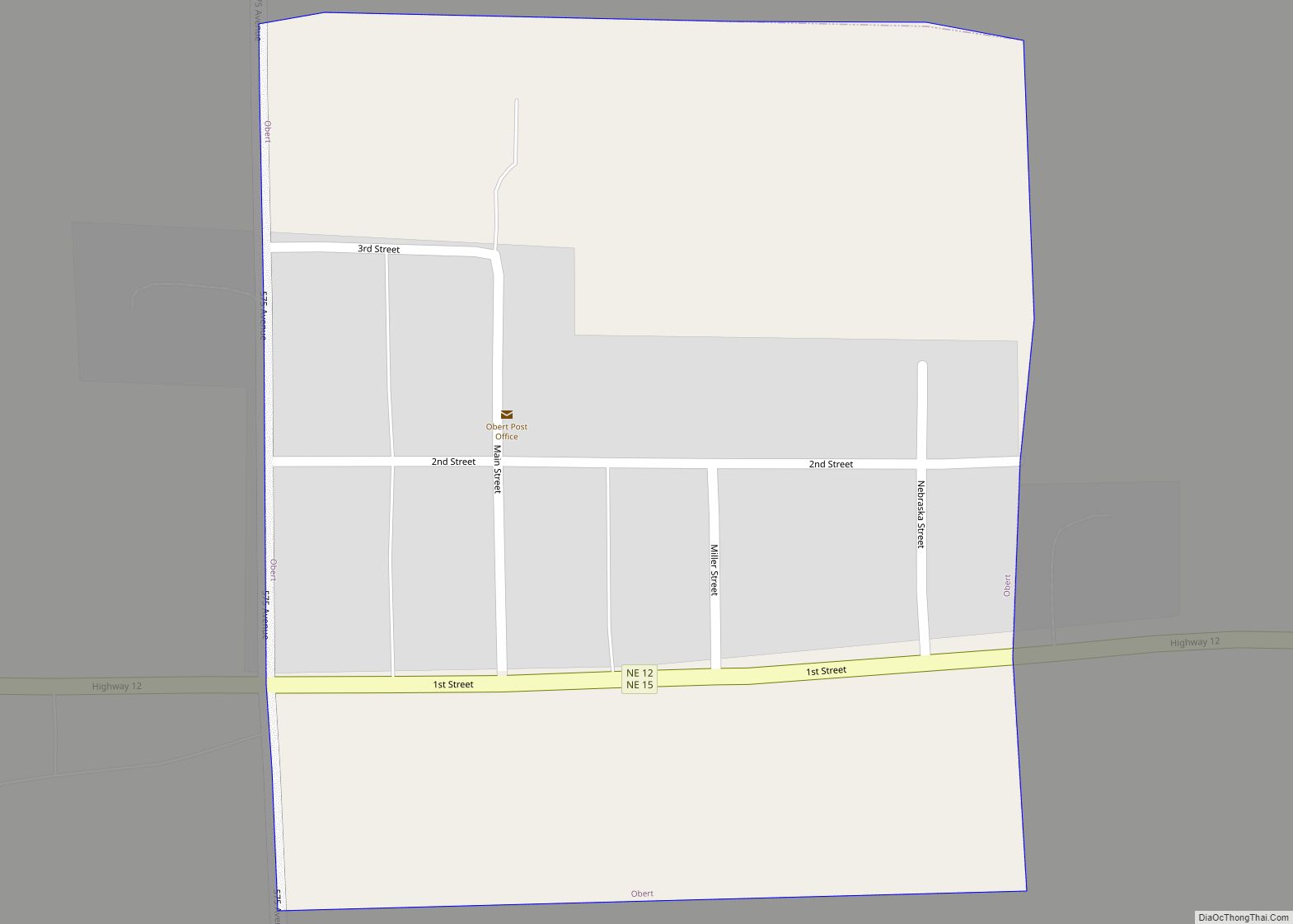
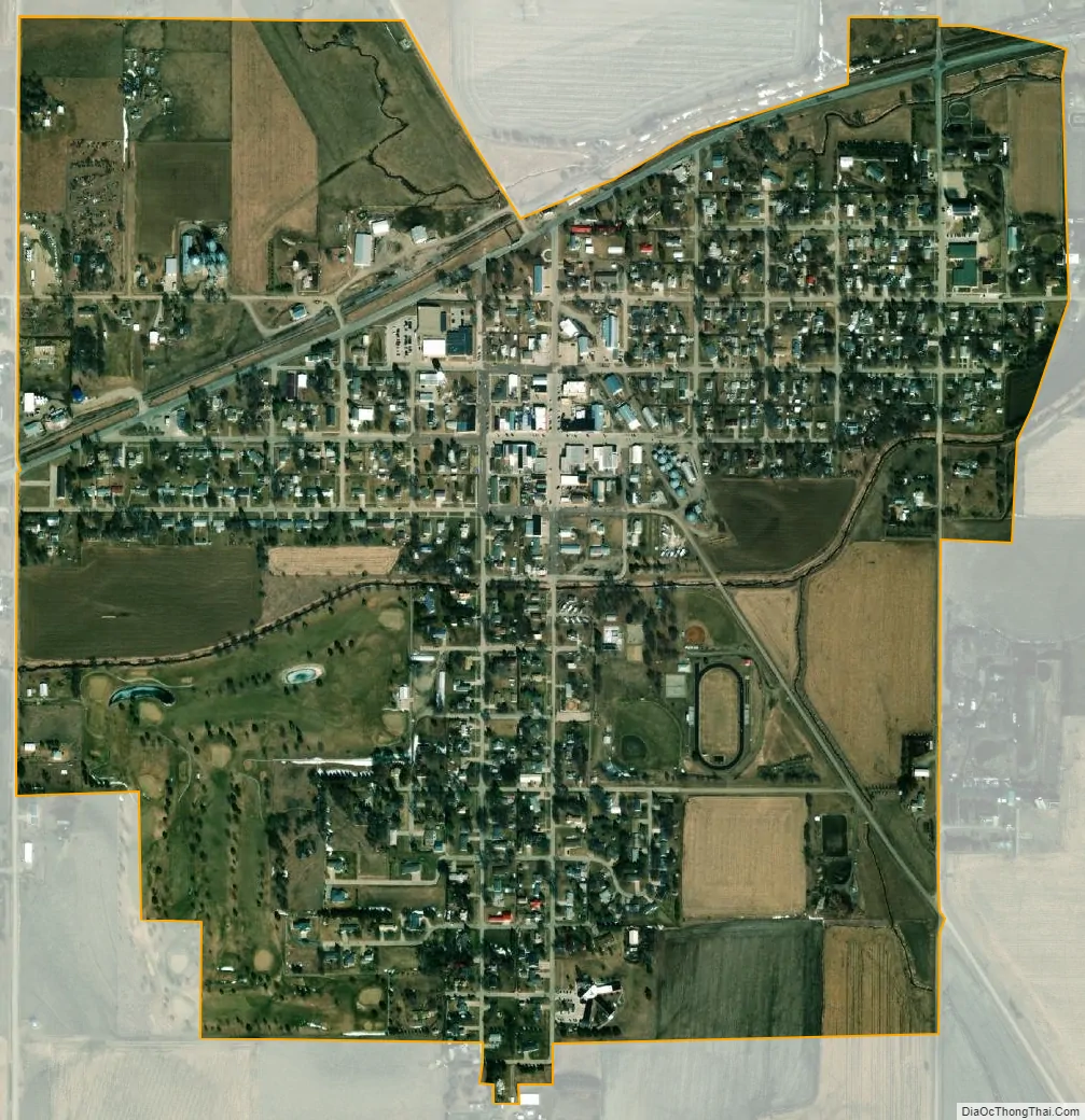
Randolph city Satellite Map
Geography
Randolph is located at 42°22′45″N 97°21′22″W / 42.37917°N 97.35611°W / 42.37917; -97.35611 (42.379206, -97.356016).
According to the United States Census Bureau, the city has a total area of 0.94 square miles (2.43 km), all land.
U.S. Route 20 serves the community, and U.S. Route 81 passes just west of the city.
See also
Map of Nebraska State and its subdivision:- Adams
- Antelope
- Arthur
- Banner
- Blaine
- Boone
- Box Butte
- Boyd
- Brown
- Buffalo
- Burt
- Butler
- Cass
- Cedar
- Chase
- Cherry
- Cheyenne
- Clay
- Colfax
- Cuming
- Custer
- Dakota
- Dawes
- Dawson
- Deuel
- Dixon
- Dodge
- Douglas
- Dundy
- Fillmore
- Franklin
- Frontier
- Furnas
- Gage
- Garden
- Garfield
- Gosper
- Grant
- Greeley
- Hall
- Hamilton
- Harlan
- Hayes
- Hitchcock
- Holt
- Hooker
- Howard
- Jefferson
- Johnson
- Kearney
- Keith
- Keya Paha
- Kimball
- Knox
- Lancaster
- Lincoln
- Logan
- Loup
- Madison
- McPherson
- Merrick
- Morrill
- Nance
- Nemaha
- Nuckolls
- Otoe
- Pawnee
- Perkins
- Phelps
- Pierce
- Platte
- Polk
- Red Willow
- Richardson
- Rock
- Saline
- Sarpy
- Saunders
- Scotts Bluff
- Seward
- Sheridan
- Sherman
- Sioux
- Stanton
- Thayer
- Thomas
- Thurston
- Valley
- Washington
- Wayne
- Webster
- Wheeler
- York
- Alabama
- Alaska
- Arizona
- Arkansas
- California
- Colorado
- Connecticut
- Delaware
- District of Columbia
- Florida
- Georgia
- Hawaii
- Idaho
- Illinois
- Indiana
- Iowa
- Kansas
- Kentucky
- Louisiana
- Maine
- Maryland
- Massachusetts
- Michigan
- Minnesota
- Mississippi
- Missouri
- Montana
- Nebraska
- Nevada
- New Hampshire
- New Jersey
- New Mexico
- New York
- North Carolina
- North Dakota
- Ohio
- Oklahoma
- Oregon
- Pennsylvania
- Rhode Island
- South Carolina
- South Dakota
- Tennessee
- Texas
- Utah
- Vermont
- Virginia
- Washington
- West Virginia
- Wisconsin
- Wyoming