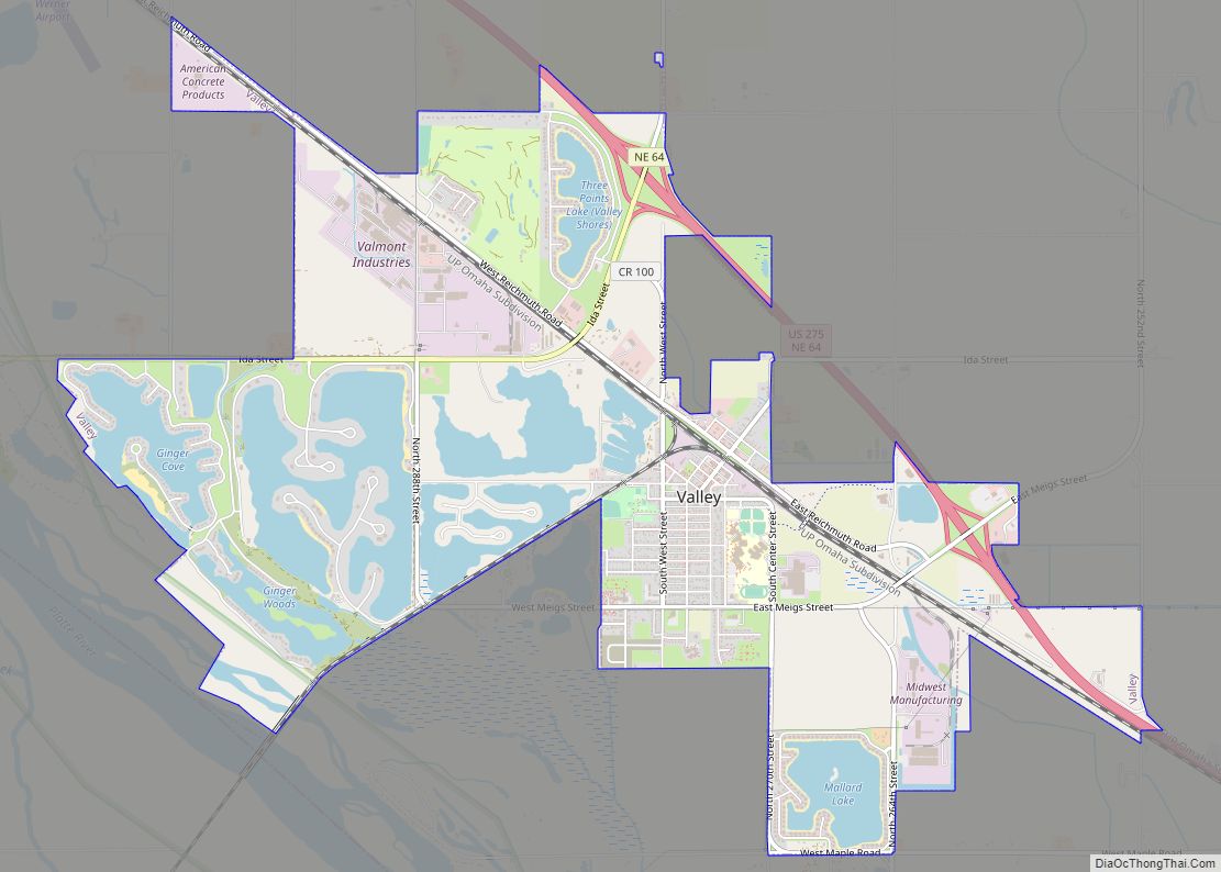
Valley is a city in Douglas County, Nebraska, United States. The population was 3,037 at the 2020 census.
Valley is also home to the area’s National Weather Service office, serving portions of eastern Nebraska and southwestern Iowa.
| Name: | Valley city |
|---|---|
| LSAD Code: | 25 |
| LSAD Description: | city (suffix) |
| State: | Nebraska |
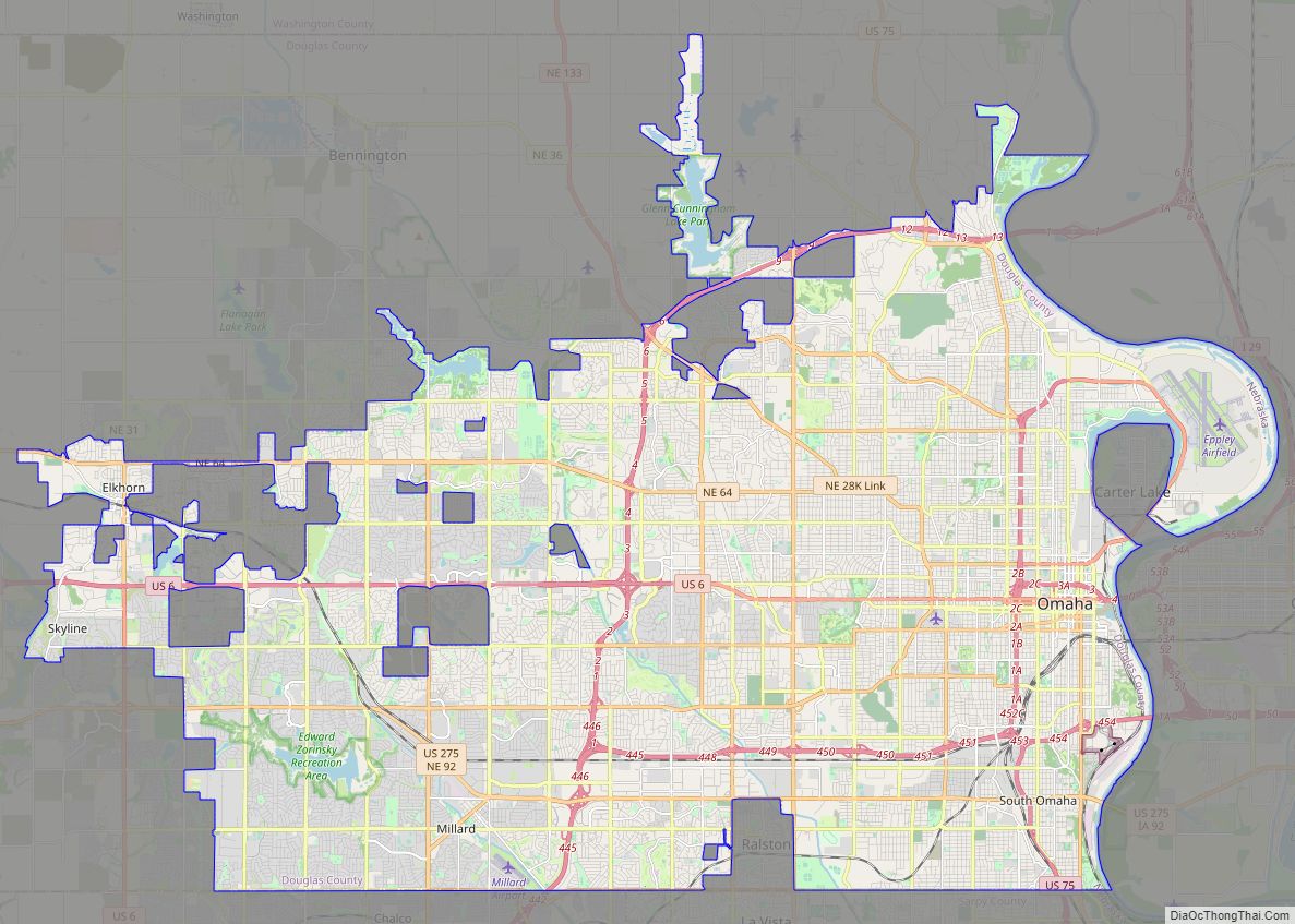
| County: | Douglas County |
| Elevation: | 1,139 ft (347 m) |
| Total Area: | 6.06 sq mi (15.69 km²) |
| Land Area: | 4.86 sq mi (12.58 km²) |
| Water Area: | 1.20 sq mi (3.11 km²) |
| Total Population: | 3,037 |
| Population Density: | 625.15/sq mi (241.39/km²) |
| ZIP code: | 68064 |
| Area code: | 402 |
| FIPS code: | 3150020 |
| GNISfeature ID: | 2397110 |
| Website: | http://www.valleyne.org/ |
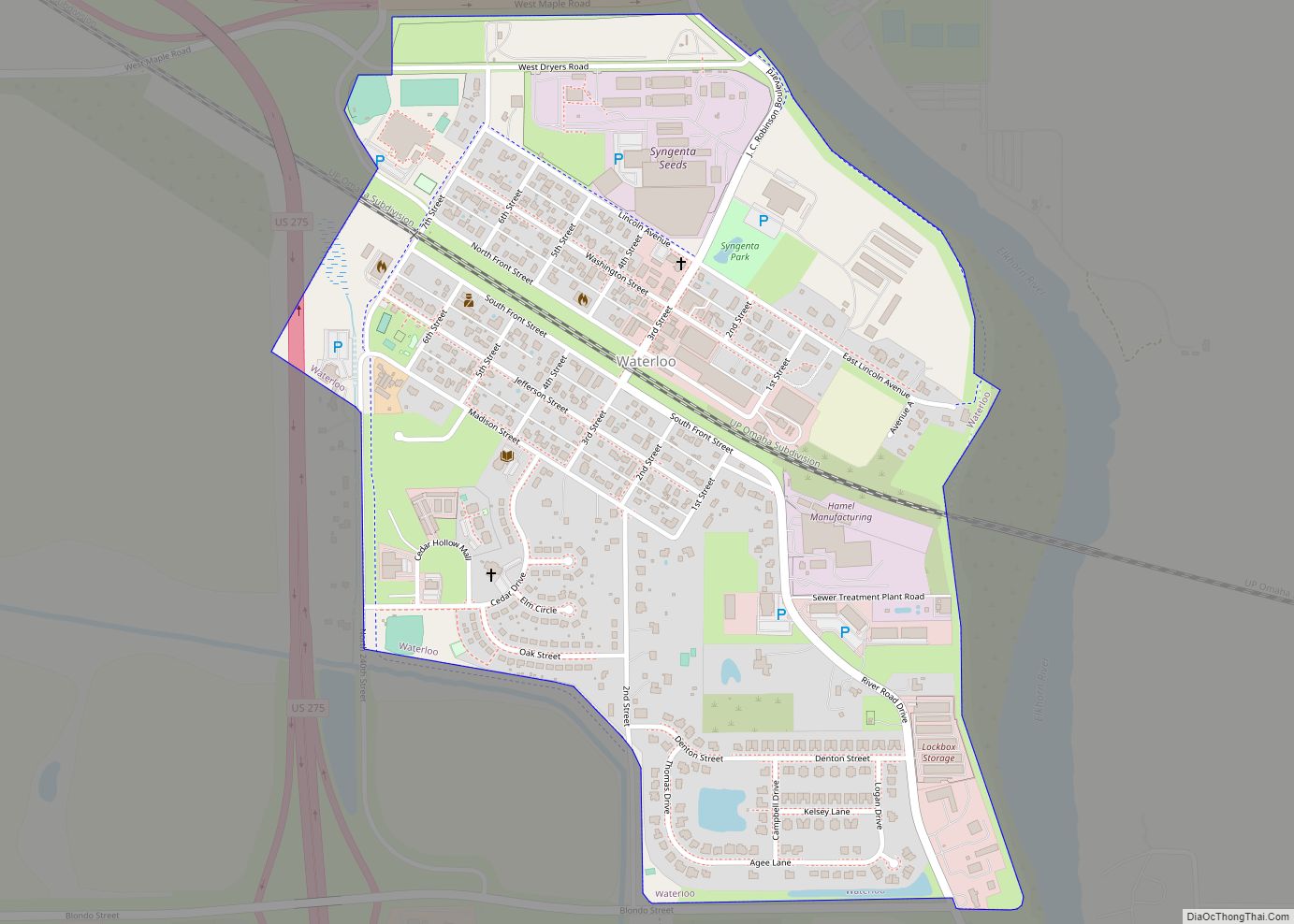
Online Interactive Map
Click on ![]() to view map in "full screen" mode.
to view map in "full screen" mode.
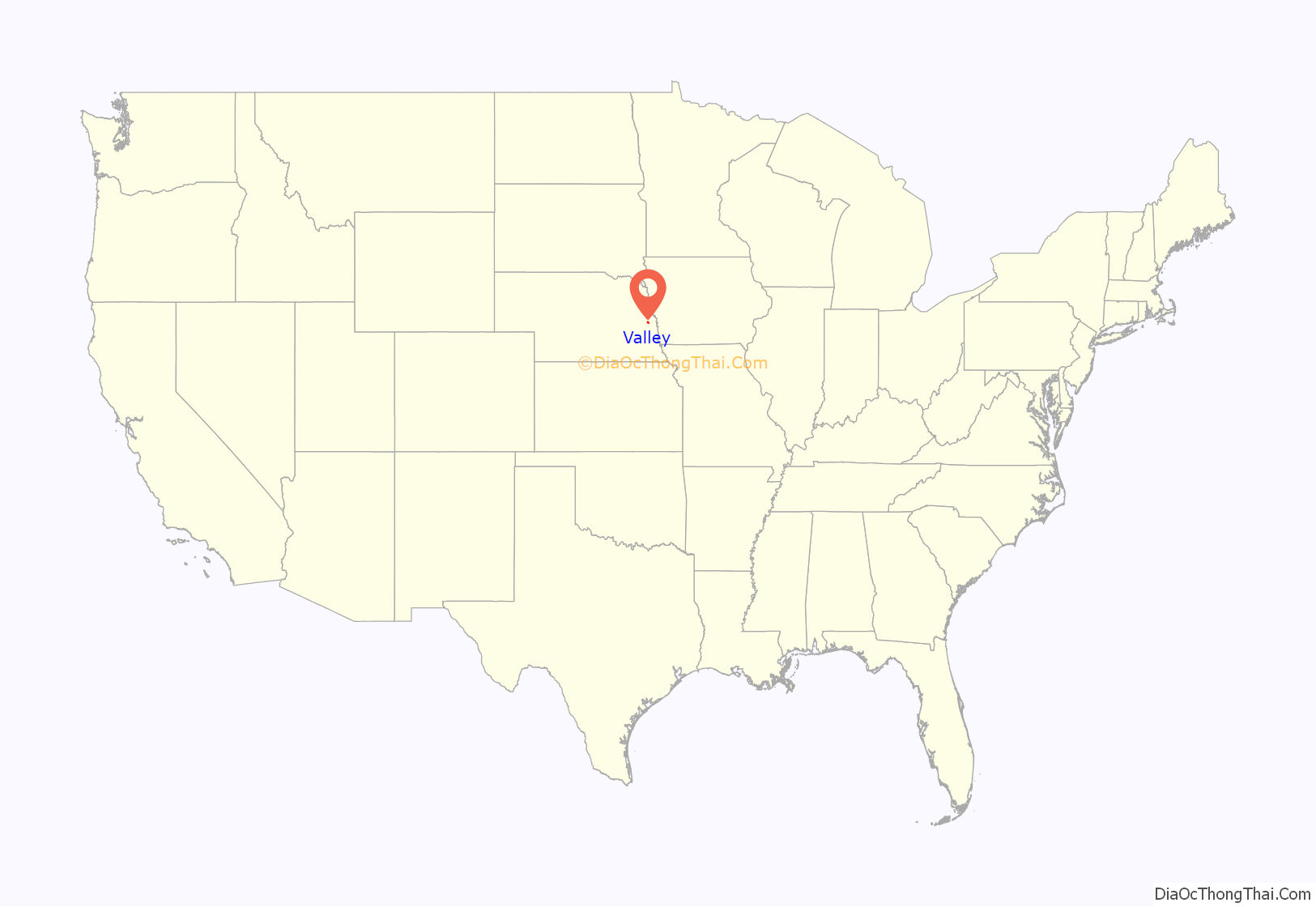
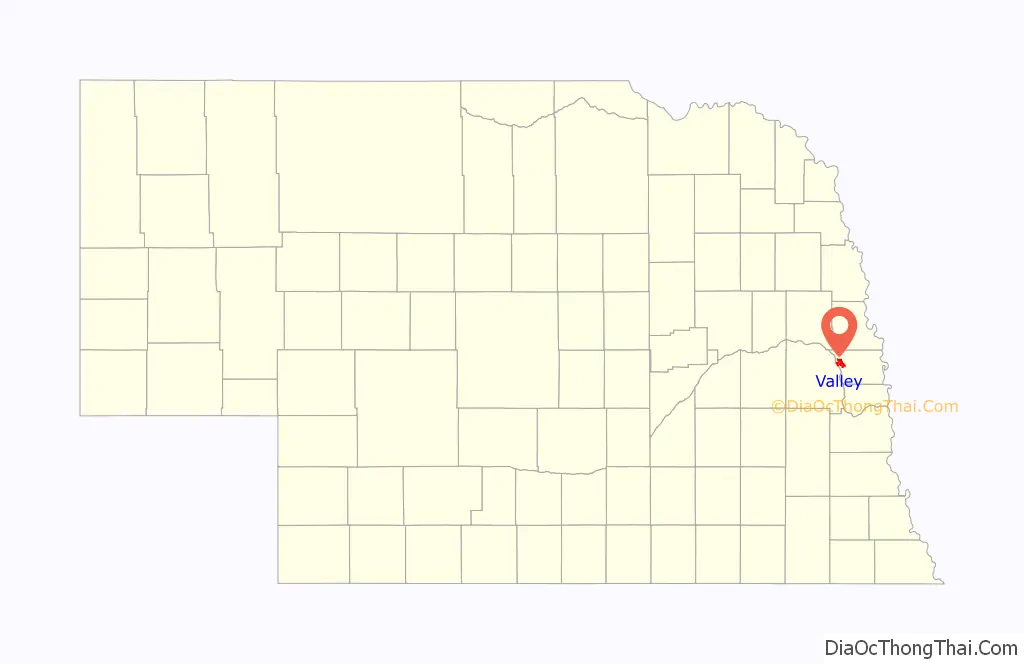
Valley location map. Where is Valley city?
History
Valley was laid out as a town in 1864 when it was certain that the Union Pacific Transcontinental Railroad would be extended to that point. It was named for the Platte River valley.
Valley Road Map
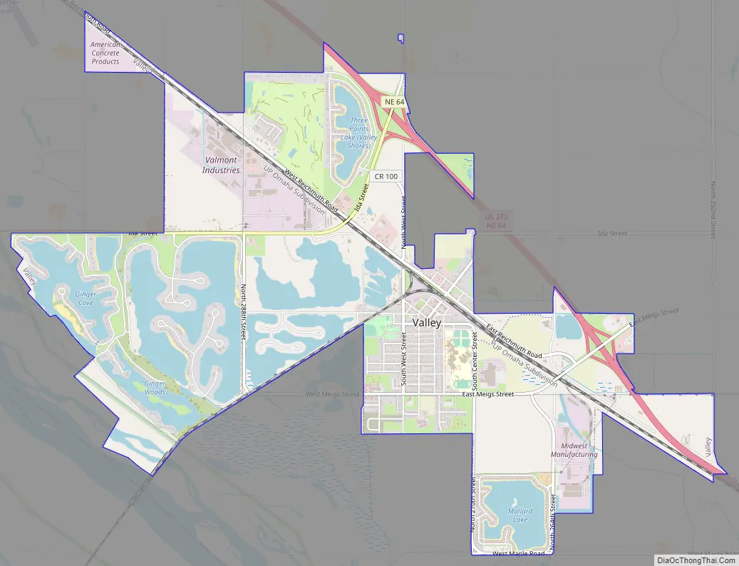
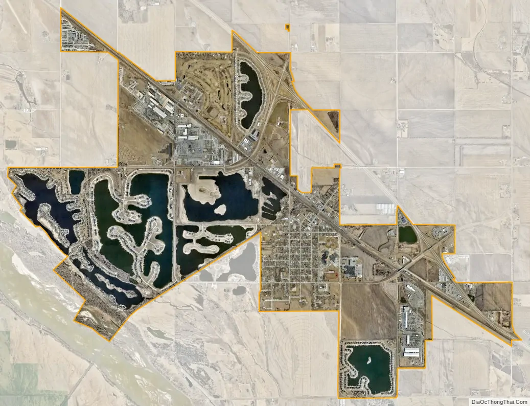
Valley city Satellite Map
Geography
Valley is located at 41°18′51″N 96°20′54″W / 41.31417°N 96.34833°W / 41.31417; -96.34833 (41.314199, -96.348250).
According to the United States Census Bureau, the city has a total area of 3.62 square miles (9.38 km), of which 3.56 square miles (9.22 km) is land and 0.06 square miles (0.16 km) is water.
See also
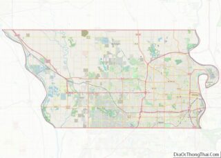
Map of Nebraska State and its subdivision:- Adams
- Antelope
- Arthur
- Banner
- Blaine
- Boone
- Box Butte
- Boyd
- Brown
- Buffalo
- Burt
- Butler
- Cass
- Cedar
- Chase
- Cherry
- Cheyenne
- Clay
- Colfax
- Cuming
- Custer
- Dakota
- Dawes
- Dawson
- Deuel
- Dixon
- Dodge
- Douglas
- Dundy
- Fillmore
- Franklin
- Frontier
- Furnas
- Gage
- Garden
- Garfield
- Gosper
- Grant
- Greeley
- Hall
- Hamilton
- Harlan
- Hayes
- Hitchcock
- Holt
- Hooker
- Howard
- Jefferson
- Johnson
- Kearney
- Keith
- Keya Paha
- Kimball
- Knox
- Lancaster
- Lincoln
- Logan
- Loup
- Madison
- McPherson
- Merrick
- Morrill
- Nance
- Nemaha
- Nuckolls
- Otoe
- Pawnee
- Perkins
- Phelps
- Pierce
- Platte
- Polk
- Red Willow
- Richardson
- Rock
- Saline
- Sarpy
- Saunders
- Scotts Bluff
- Seward
- Sheridan
- Sherman
- Sioux
- Stanton
- Thayer
- Thomas
- Thurston
- Valley
- Washington
- Wayne
- Webster
- Wheeler
- York
- Alabama
- Alaska
- Arizona
- Arkansas
- California
- Colorado
- Connecticut
- Delaware
- District of Columbia
- Florida
- Georgia
- Hawaii
- Idaho
- Illinois
- Indiana
- Iowa
- Kansas
- Kentucky
- Louisiana
- Maine
- Maryland
- Massachusetts
- Michigan
- Minnesota
- Mississippi
- Missouri
- Montana
- Nebraska
- Nevada
- New Hampshire
- New Jersey
- New Mexico
- New York
- North Carolina
- North Dakota
- Ohio
- Oklahoma
- Oregon
- Pennsylvania
- Rhode Island
- South Carolina
- South Dakota
- Tennessee
- Texas
- Utah
- Vermont
- Virginia
- Washington
- West Virginia
- Wisconsin
- Wyoming