Dupont is a borough in the Greater Pittston area of Luzerne County, Pennsylvania, United States. The population was 2,536 as of the 2020 census.
| Name: | Dupont borough |
|---|---|
| LSAD Code: | 21 |
| LSAD Description: | borough (suffix) |
| State: | Pennsylvania |
| County: | Luzerne County |
| Incorporated: | 1917 |
| Elevation: | 720 ft (220 m) |
| Total Area: | 1.56 sq mi (4.05 km²) |
| Land Area: | 1.56 sq mi (4.05 km²) |
| Water Area: | 0.00 sq mi (0.00 km²) |
| Total Population: | 2,539 |
| Population Density: | 1,623.40/sq mi (626.68/km²) |
| Area code: | 570 |
| FIPS code: | 4220424 |
| Website: | dupontpa.us |
Online Interactive Map
Click on ![]() to view map in "full screen" mode.
to view map in "full screen" mode.
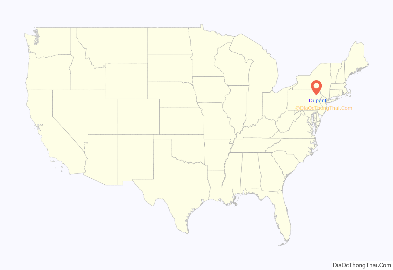
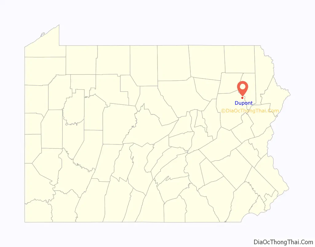
Dupont location map. Where is Dupont borough?
History
The community was incorporated as a borough in 1917; it was originally called “Smithville,” in honor of its first group of settlers. The community was later renamed Dupont after Dupont Explosives, a company which made explosives for mining. These explosives were used throughout Northeastern Pennsylvania in the 19th and 20th centuries. Dupont Explosives eventually closed after the advancement of technology in gathering coal.
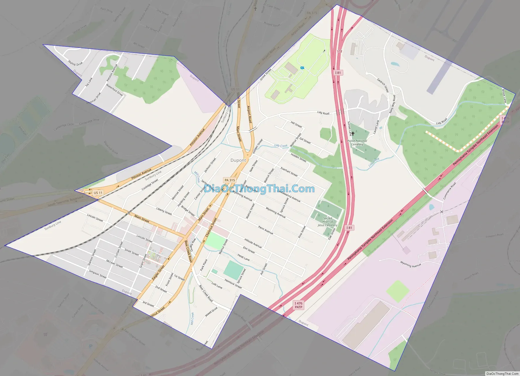
Dupont Road Map
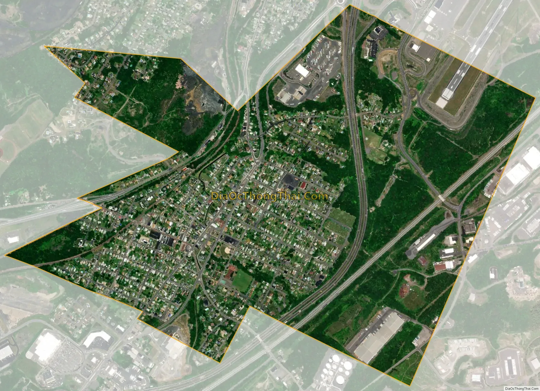
Dupont city Satellite Map
Geography
Dupont is located at 41°19′18″N 75°44′47″W / 41.32167°N 75.74639°W / 41.32167; -75.74639 (41.321680, -75.746285).
According to the United States Census Bureau, the borough has a total area of 1.5 square miles (3.9 km), all land.
Transportation
See also
Map of Pennsylvania State and its subdivision:- Adams
- Allegheny
- Armstrong
- Beaver
- Bedford
- Berks
- Blair
- Bradford
- Bucks
- Butler
- Cambria
- Cameron
- Carbon
- Centre
- Chester
- Clarion
- Clearfield
- Clinton
- Columbia
- Crawford
- Cumberland
- Dauphin
- Delaware
- Elk
- Erie
- Fayette
- Forest
- Franklin
- Fulton
- Greene
- Huntingdon
- Indiana
- Jefferson
- Juniata
- Lackawanna
- Lancaster
- Lawrence
- Lebanon
- Lehigh
- Luzerne
- Lycoming
- Mc Kean
- Mercer
- Mifflin
- Monroe
- Montgomery
- Montour
- Northampton
- Northumberland
- Perry
- Philadelphia
- Pike
- Potter
- Schuylkill
- Snyder
- Somerset
- Sullivan
- Susquehanna
- Tioga
- Union
- Venango
- Warren
- Washington
- Wayne
- Westmoreland
- Wyoming
- York
- Alabama
- Alaska
- Arizona
- Arkansas
- California
- Colorado
- Connecticut
- Delaware
- District of Columbia
- Florida
- Georgia
- Hawaii
- Idaho
- Illinois
- Indiana
- Iowa
- Kansas
- Kentucky
- Louisiana
- Maine
- Maryland
- Massachusetts
- Michigan
- Minnesota
- Mississippi
- Missouri
- Montana
- Nebraska
- Nevada
- New Hampshire
- New Jersey
- New Mexico
- New York
- North Carolina
- North Dakota
- Ohio
- Oklahoma
- Oregon
- Pennsylvania
- Rhode Island
- South Carolina
- South Dakota
- Tennessee
- Texas
- Utah
- Vermont
- Virginia
- Washington
- West Virginia
- Wisconsin
- Wyoming


