Larksville is a borough in Luzerne County, Pennsylvania, United States. It is 2 miles (3 km) west of Wilkes Barre on the Susquehanna River (along U.S. Route 11). The population was 4,216 as of the 2020 census.
| Name: | Larksville borough |
|---|---|
| LSAD Code: | 21 |
| LSAD Description: | borough (suffix) |
| State: | Pennsylvania |
| County: | Luzerne County |
| Incorporated: | 1909 |
| Total Area: | 4.84 sq mi (12.54 km²) |
| Land Area: | 4.69 sq mi (12.15 km²) |
| Water Area: | 0.15 sq mi (0.39 km²) |
| Total Population: | 4,225 |
| Population Density: | 900.85/sq mi (347.79/km²) |
| Area code: | 570 |
| FIPS code: | 4241608 |
| Website: | larksvilleborough.org |
Online Interactive Map
Click on ![]() to view map in "full screen" mode.
to view map in "full screen" mode.
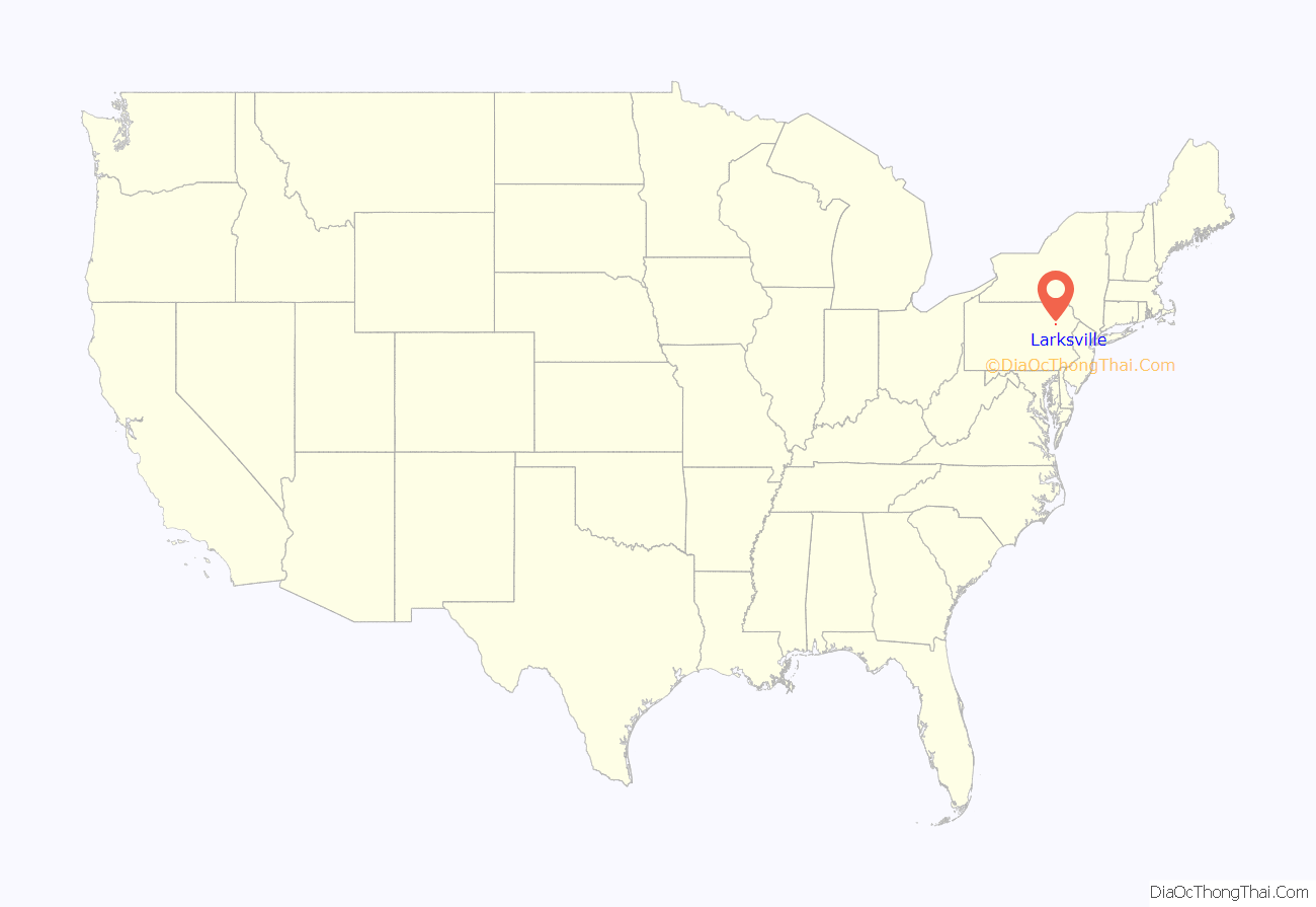
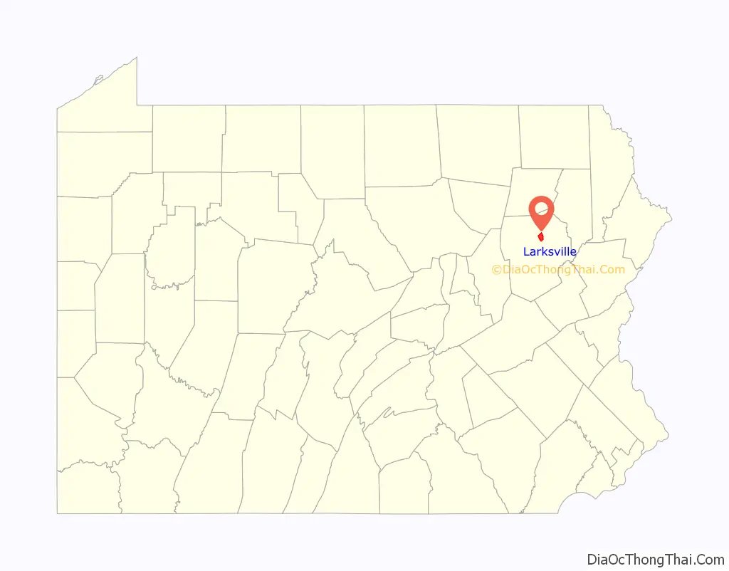
Larksville location map. Where is Larksville borough?
History
Larksville was formed from a section of Plymouth Township; it was incorporated as a borough on November 10, 1909. Once known as Blindtown, the community’s name was changed to Larksville in honor of Peggy Lark, a former resident.
The borough gained prominence in the late 19th and early 20th centuries as an active anthracite coal mining community, drawing a large portion of its labor force from European immigrants. Larksville was a thriving mining town. Houses were clustered around the collieries. The collieries in the borough were Boston, Loree, Lance, Woodward, and Number 4. At its peak, in 1920, Larksville’s population was well over 9,000 people. However, the mining industry in the region collapsed after the 1959 Knox Mine Disaster. The population began to dwindle after its demise. Today, the population is just over 4,000.
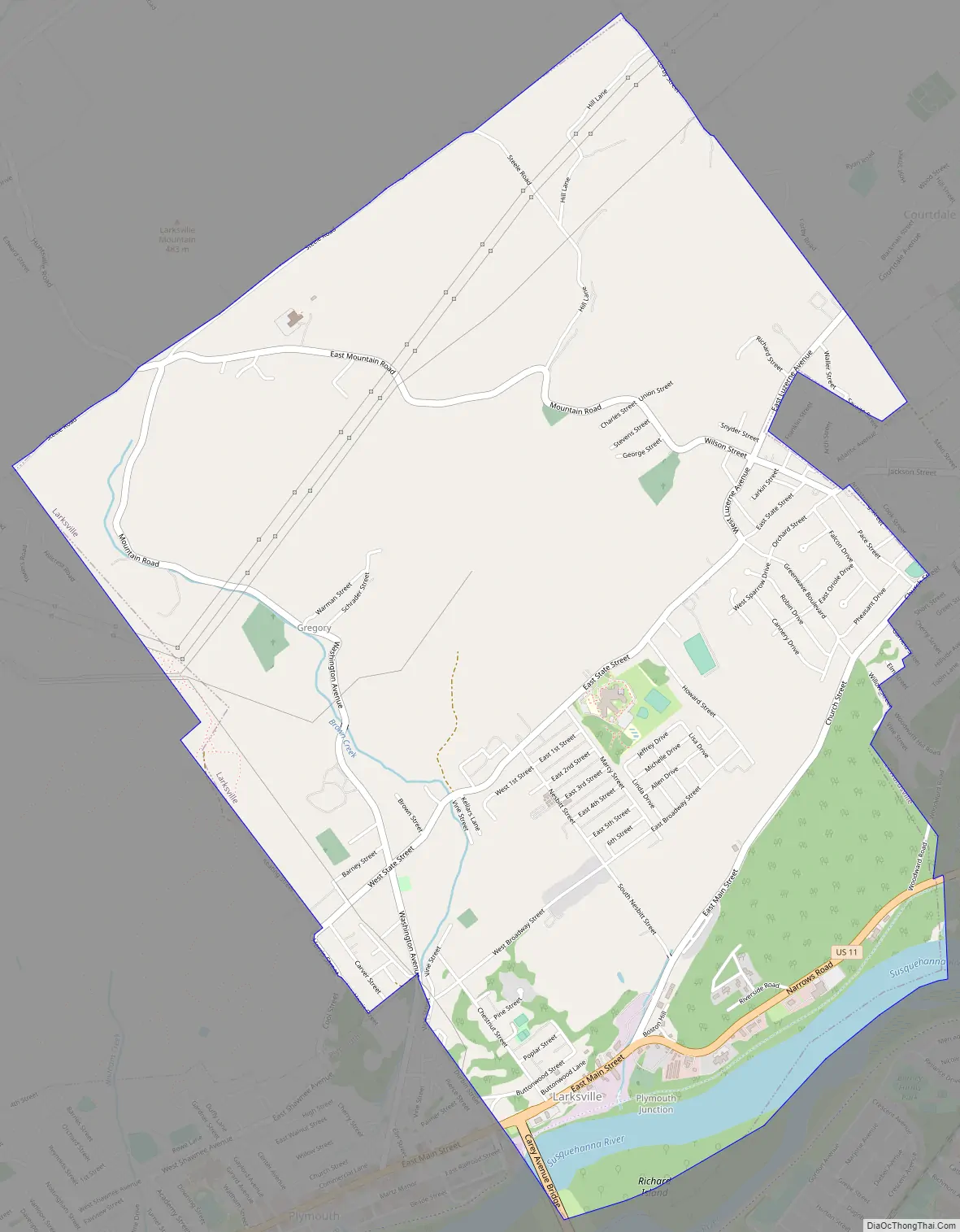
Larksville Road Map
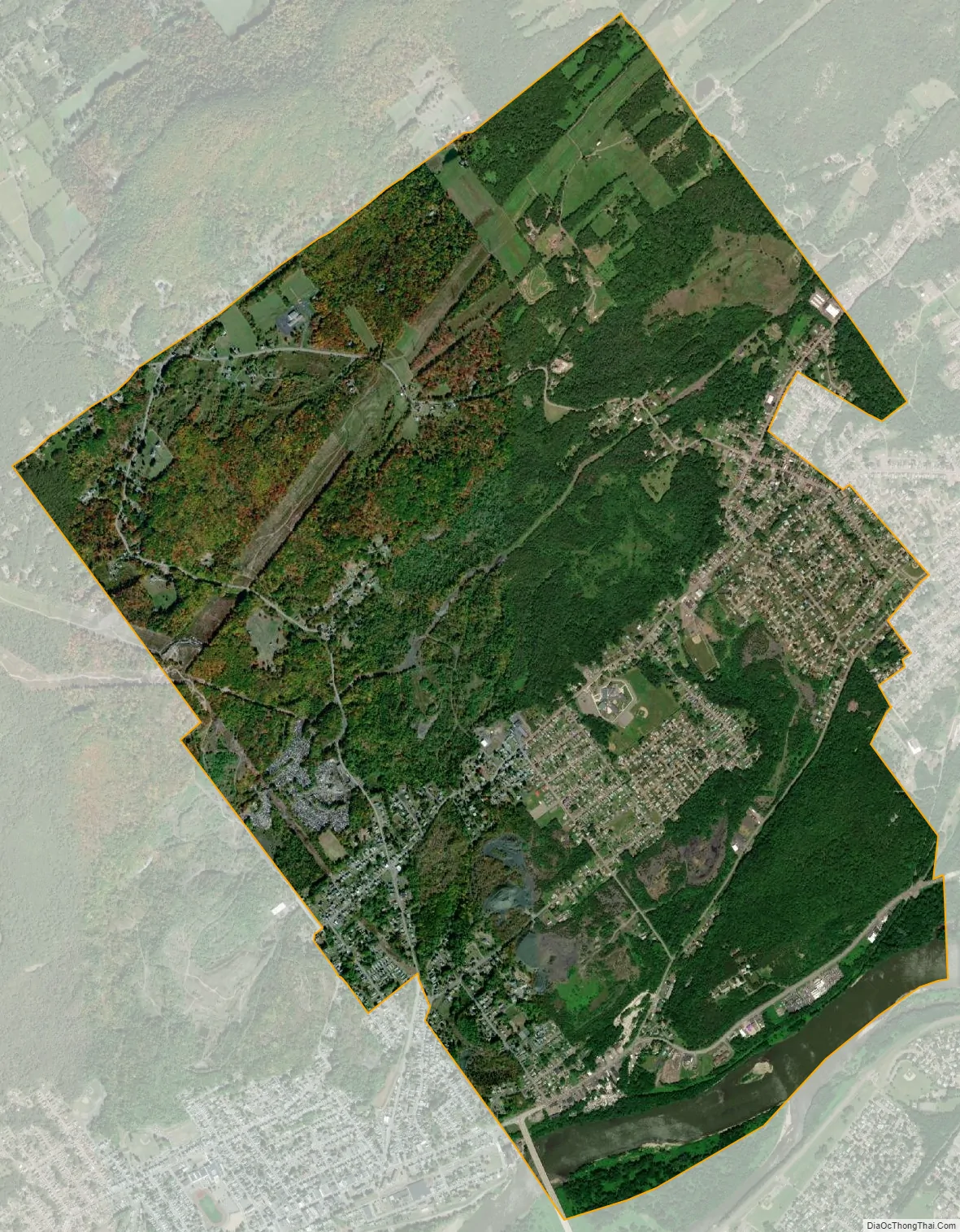
Larksville city Satellite Map
Geography
Larksville is located at 41°15′31″N 75°55′38″W / 41.25861°N 75.92722°W / 41.25861; -75.92722 (41.258525, -75.927176).
According to the United States Census Bureau, the borough has a total area of 4.9 square miles (12.6 km), of which 4.7 square miles (12.2 km) is land and 0.15 square miles (0.4 km), or 3.24%, is water. The Susquehanna River makes up Larksville’s southeastern border. U.S. Route 11 travels through the southern portion of the borough. Most of the homes and businesses are located in central and southern Larksville. The northern portion of the borough mostly consists of hills, forests, and a few houses. Larksville is part of the Wyoming Valley West School District.
See also
Map of Pennsylvania State and its subdivision:- Adams
- Allegheny
- Armstrong
- Beaver
- Bedford
- Berks
- Blair
- Bradford
- Bucks
- Butler
- Cambria
- Cameron
- Carbon
- Centre
- Chester
- Clarion
- Clearfield
- Clinton
- Columbia
- Crawford
- Cumberland
- Dauphin
- Delaware
- Elk
- Erie
- Fayette
- Forest
- Franklin
- Fulton
- Greene
- Huntingdon
- Indiana
- Jefferson
- Juniata
- Lackawanna
- Lancaster
- Lawrence
- Lebanon
- Lehigh
- Luzerne
- Lycoming
- Mc Kean
- Mercer
- Mifflin
- Monroe
- Montgomery
- Montour
- Northampton
- Northumberland
- Perry
- Philadelphia
- Pike
- Potter
- Schuylkill
- Snyder
- Somerset
- Sullivan
- Susquehanna
- Tioga
- Union
- Venango
- Warren
- Washington
- Wayne
- Westmoreland
- Wyoming
- York
- Alabama
- Alaska
- Arizona
- Arkansas
- California
- Colorado
- Connecticut
- Delaware
- District of Columbia
- Florida
- Georgia
- Hawaii
- Idaho
- Illinois
- Indiana
- Iowa
- Kansas
- Kentucky
- Louisiana
- Maine
- Maryland
- Massachusetts
- Michigan
- Minnesota
- Mississippi
- Missouri
- Montana
- Nebraska
- Nevada
- New Hampshire
- New Jersey
- New Mexico
- New York
- North Carolina
- North Dakota
- Ohio
- Oklahoma
- Oregon
- Pennsylvania
- Rhode Island
- South Carolina
- South Dakota
- Tennessee
- Texas
- Utah
- Vermont
- Virginia
- Washington
- West Virginia
- Wisconsin
- Wyoming


