Beaufort (/ˈboʊfərt/ BOH-fərt) is a town in and the county seat of Carteret County, North Carolina, United States. Established in 1713 and incorporated in 1723, Beaufort is the fourth oldest town in North Carolina (after Bath, New Bern and Edenton). On February 1, 2012, Beaufort was ranked as “America’s Coolest Small Town” by readers of Budget Travel Magazine.
The population was 4,039 at the 2010 census. It is sometimes confused with a city of the same name in South Carolina; the two are distinguished by different pronunciations.
Beaufort is located in North Carolina’s “Inner Banks” region. The town is home to the North Carolina Maritime Museum, the Duke University Marine Laboratory (Nicholas School of the Environment), and the National Oceanic and Atmospheric Administration (NOAA) Center for Coastal Fisheries and Habitat Research. It is also the location of the Rachel Carson Reserve, part of the N.C. Coastal Reserve and National Estuarine Research Reserve system.
| Name: | Beaufort town |
|---|---|
| LSAD Code: | 43 |
| LSAD Description: | town (suffix) |
| State: | North Carolina |
| County: | Carteret County |
| Elevation: | 10 ft (3 m) |
| Total Area: | 7.84 sq mi (20.31 km²) |
| Land Area: | 5.09 sq mi (13.17 km²) |
| Water Area: | 2.75 sq mi (7.13 km²) |
| Total Population: | 4,464 |
| Population Density: | 877.53/sq mi (338.82/km²) |
| ZIP code: | 28516 |
| Area code: | 252 |
| FIPS code: | 3704260 |
| GNISfeature ID: | 1019024 |
| Website: | www.beaufortnc.org |
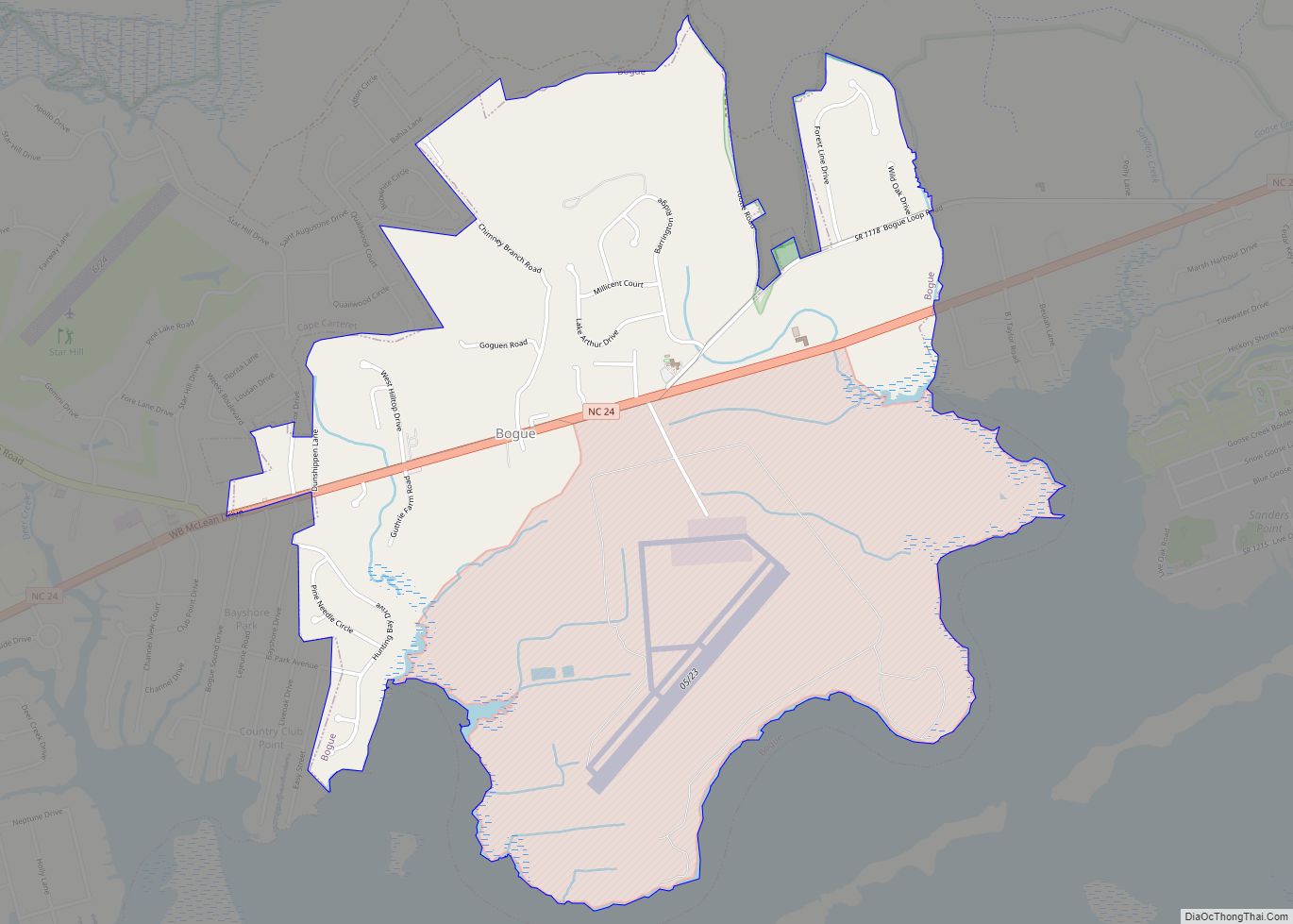
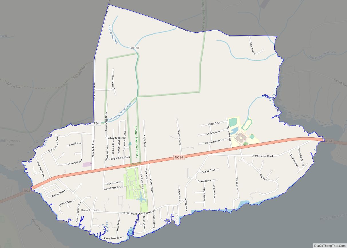
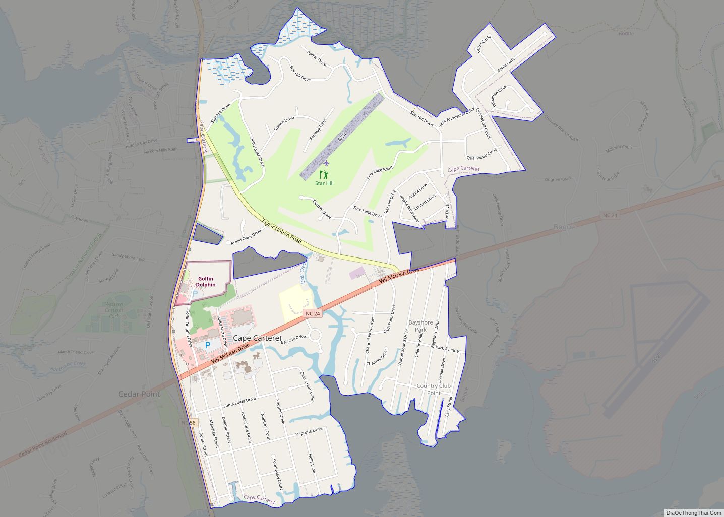
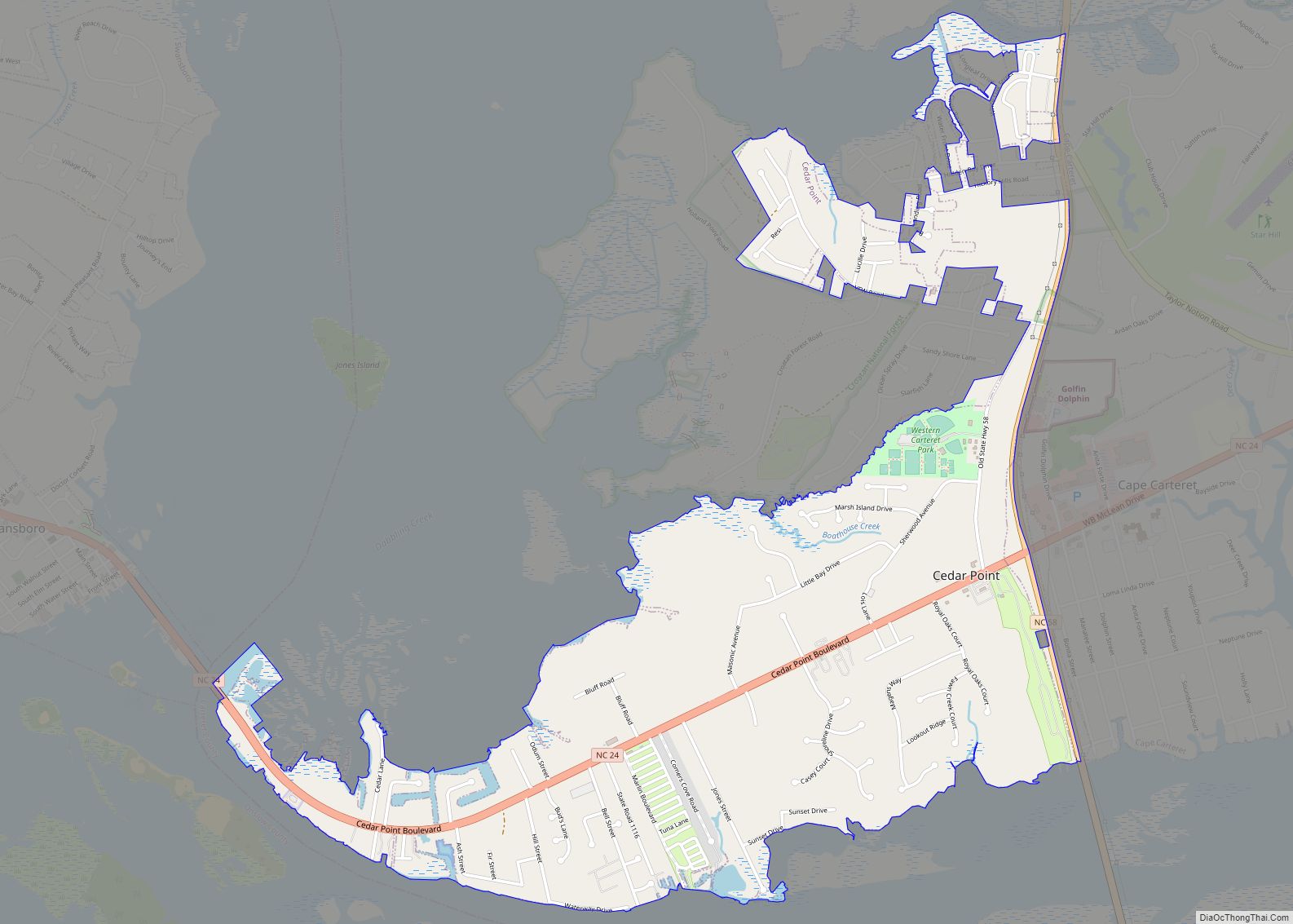
Online Interactive Map
Click on ![]() to view map in "full screen" mode.
to view map in "full screen" mode.
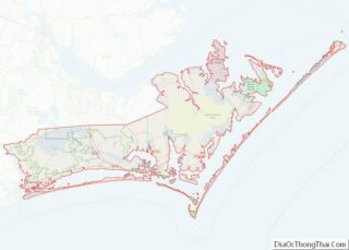
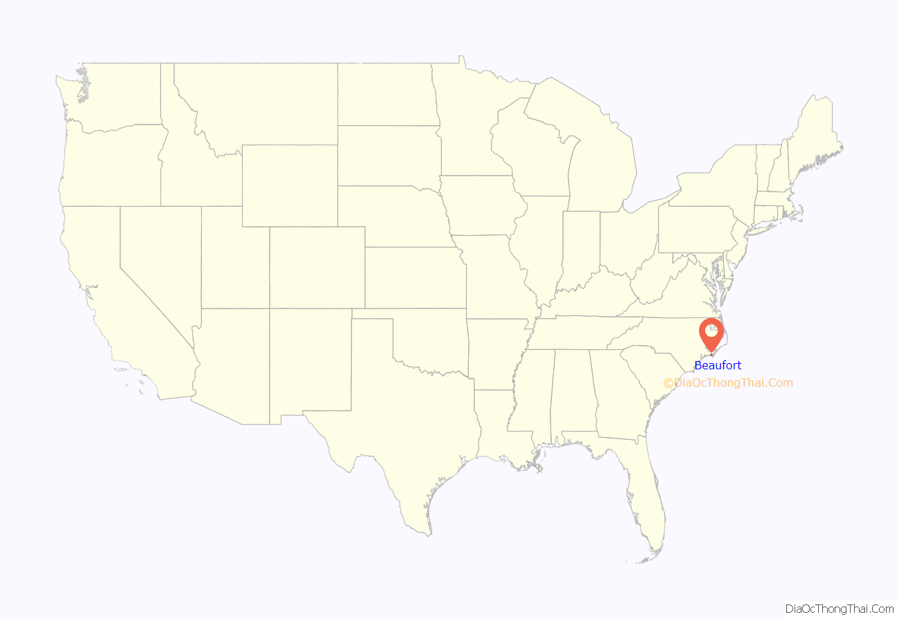
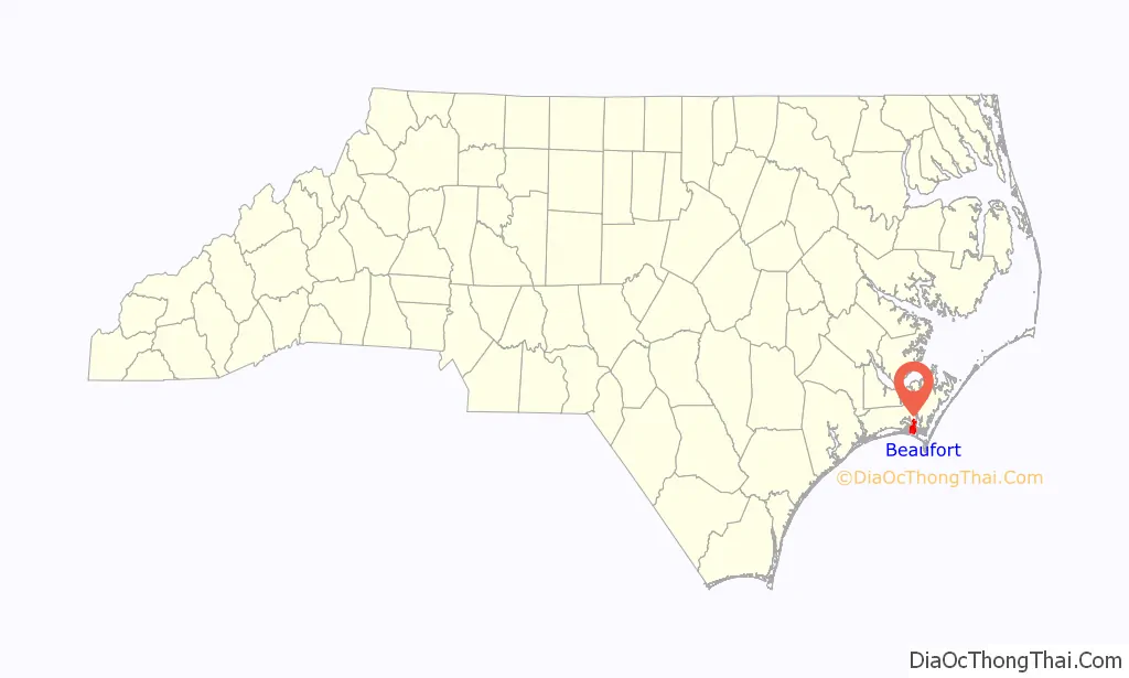
Beaufort location map. Where is Beaufort town?
History
The Beaufort Historic District, Carteret County Home, Gibbs House, Jacob Henry House, and Old Burying Ground are listed on the National Register of Historic Places. In June 1718 Blackbeard the pirate ran his flagship, the Queen Anne’s Revenge and his sloop Adventure, aground near present-day Beaufort Inlet, NC. The Queen Anne’s Revenge was added to the National Register of Historic Places in 2004 with the reference number 04000148. Thirty two years later, in August 1750, at least three Spanish merchantmen ran aground in North Carolina during a hurricane. One of the three, the El Salvador, sank near Cape Lookout.
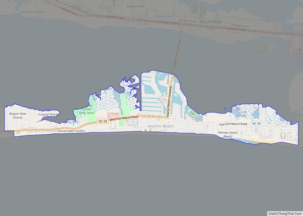
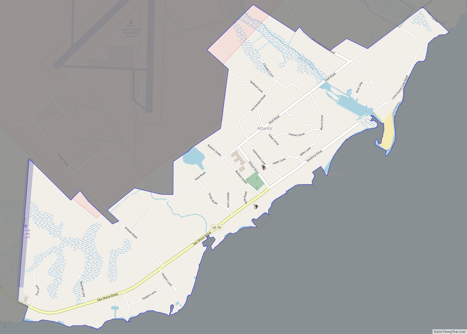
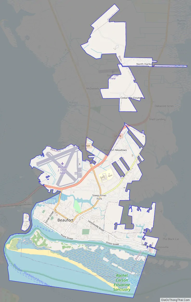
Beaufort Road Map
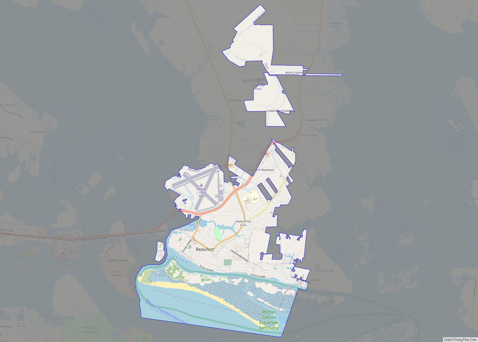
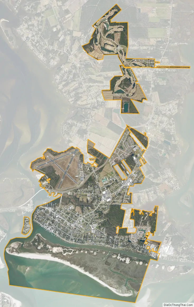
Beaufort city Satellite Map
Geography
Beaufort is located south of the center of Carteret County at 34°43′N 76°39′W / 34.717°N 76.650°W / 34.717; -76.650 (34.7207, −76.6525). It is located on Beaufort Inlet, a channel leading south to the Atlantic Ocean. To the west is the tidal Newport River, separating the town from Morehead City. To the east is the unincorporated neighborhood of Lenoxville, extending to the North River, another tidal river.
U.S. Route 70 passes through Beaufort, leading west across the Newport River to Morehead City and northeast 31 miles (50 km) to its end in the town of Atlantic.
According to the United States Census Bureau, Beaufort has a total area of 5.6 square miles (14.5 km), of which 4.6 square miles (12.0 km) is land and 1.0 square mile (2.6 km), or 17.75%, is water.
See also
Map of North Carolina State and its subdivision:- Alamance
- Alexander
- Alleghany
- Anson
- Ashe
- Avery
- Beaufort
- Bertie
- Bladen
- Brunswick
- Buncombe
- Burke
- Cabarrus
- Caldwell
- Camden
- Carteret
- Caswell
- Catawba
- Chatham
- Cherokee
- Chowan
- Clay
- Cleveland
- Columbus
- Craven
- Cumberland
- Currituck
- Dare
- Davidson
- Davie
- Duplin
- Durham
- Edgecombe
- Forsyth
- Franklin
- Gaston
- Gates
- Graham
- Granville
- Greene
- Guilford
- Halifax
- Harnett
- Haywood
- Henderson
- Hertford
- Hoke
- Hyde
- Iredell
- Jackson
- Johnston
- Jones
- Lee
- Lenoir
- Lincoln
- Macon
- Madison
- Martin
- McDowell
- Mecklenburg
- Mitchell
- Montgomery
- Moore
- Nash
- New Hanover
- Northampton
- Onslow
- Orange
- Pamlico
- Pasquotank
- Pender
- Perquimans
- Person
- Pitt
- Polk
- Randolph
- Richmond
- Robeson
- Rockingham
- Rowan
- Rutherford
- Sampson
- Scotland
- Stanly
- Stokes
- Surry
- Swain
- Transylvania
- Tyrrell
- Union
- Vance
- Wake
- Warren
- Washington
- Watauga
- Wayne
- Wilkes
- Wilson
- Yadkin
- Yancey
- Alabama
- Alaska
- Arizona
- Arkansas
- California
- Colorado
- Connecticut
- Delaware
- District of Columbia
- Florida
- Georgia
- Hawaii
- Idaho
- Illinois
- Indiana
- Iowa
- Kansas
- Kentucky
- Louisiana
- Maine
- Maryland
- Massachusetts
- Michigan
- Minnesota
- Mississippi
- Missouri
- Montana
- Nebraska
- Nevada
- New Hampshire
- New Jersey
- New Mexico
- New York
- North Carolina
- North Dakota
- Ohio
- Oklahoma
- Oregon
- Pennsylvania
- Rhode Island
- South Carolina
- South Dakota
- Tennessee
- Texas
- Utah
- Vermont
- Virginia
- Washington
- West Virginia
- Wisconsin
- Wyoming