Fountain Inn is a city in Greenville and Laurens counties in the U.S. state of South Carolina. The population was 10,416 at the 2020 census, up from 7,799 in 2010. It is part of the Greenville–Mauldin–Easley Metropolitan Statistical Area.
| Name: | Fountain Inn city |
|---|---|
| LSAD Code: | 25 |
| LSAD Description: | city (suffix) |
| State: | South Carolina |
| County: | Greenville County, Laurens County |
| Elevation: | 866 ft (264 m) |
| Total Area: | 8.50 sq mi (22.01 km²) |
| Land Area: | 8.45 sq mi (21.89 km²) |
| Water Area: | 0.05 sq mi (0.13 km²) |
| Total Population: | 10,416 |
| Population Density: | 1,232.52/sq mi (475.90/km²) |
| ZIP code: | 29644 |
| Area code: | 864 |
| FIPS code: | 4527070 |
| GNISfeature ID: | 1222514 |
| Website: | www.fountaininn.org |
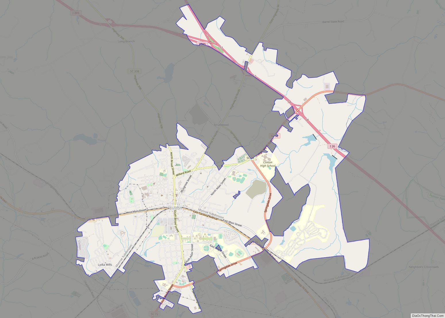
Online Interactive Map
Click on ![]() to view map in "full screen" mode.
to view map in "full screen" mode.
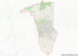
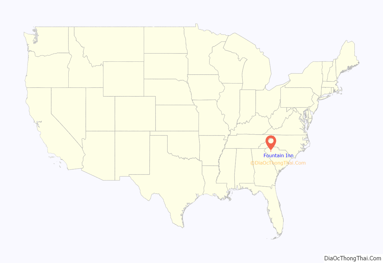
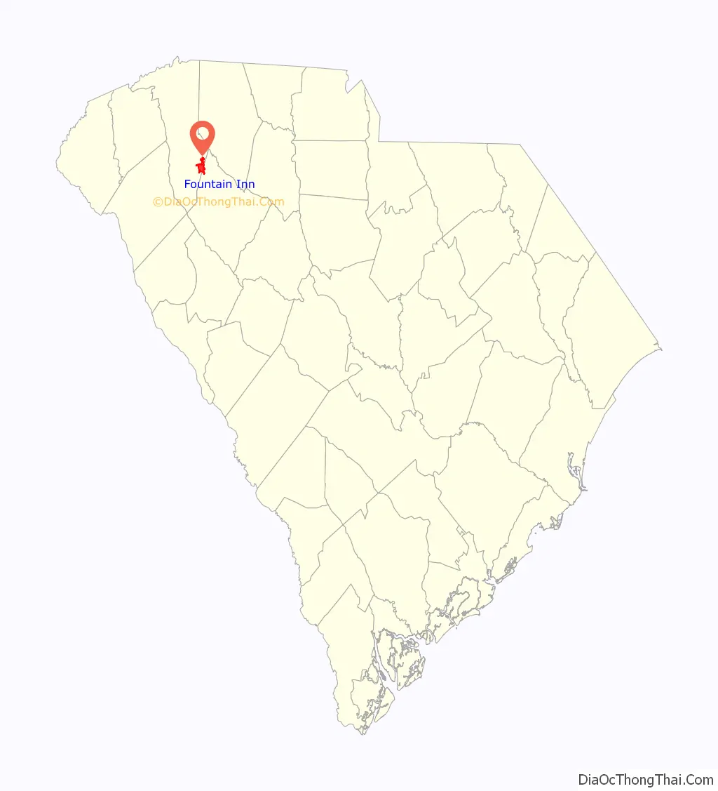
Fountain Inn location map. Where is Fountain Inn city?
History
The Cannon Building, Fairview Presbyterian Church, Fountain Inn High School, Fountain Inn Principal’s House and Teacherage, McDowell House, Robert Quillen Office and Library, Tullyton, and F. W. Welborn House are listed on the National Register of Historic Places.
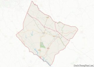
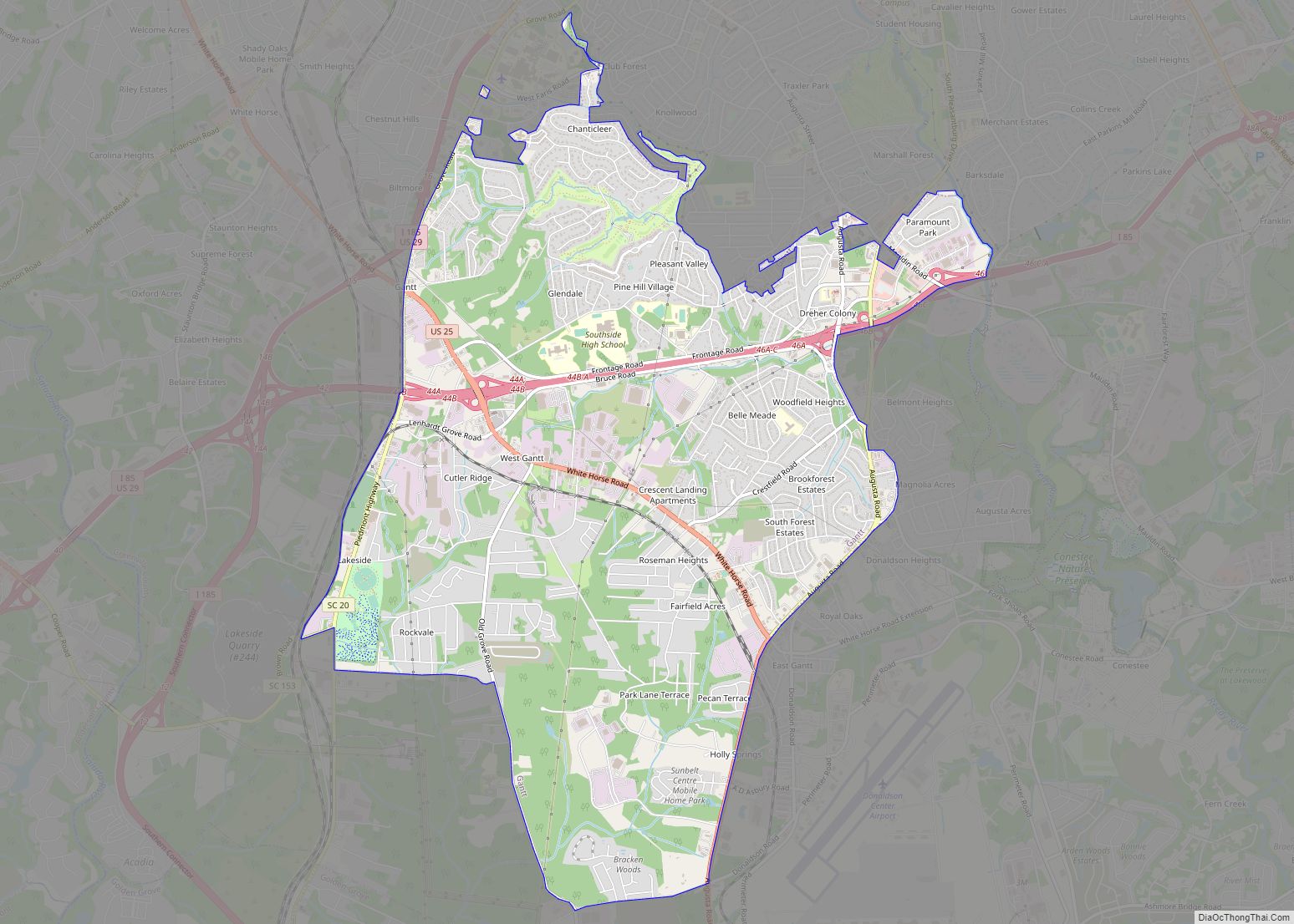
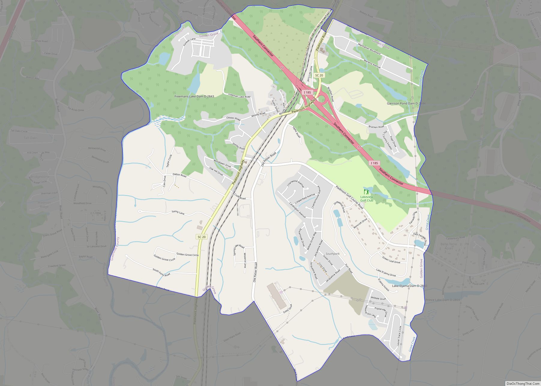
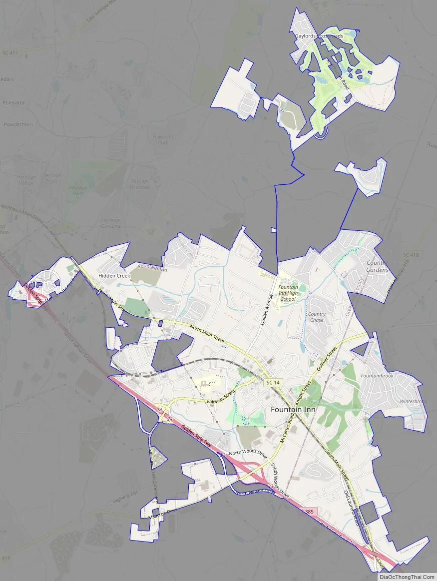
Fountain Inn Road Map
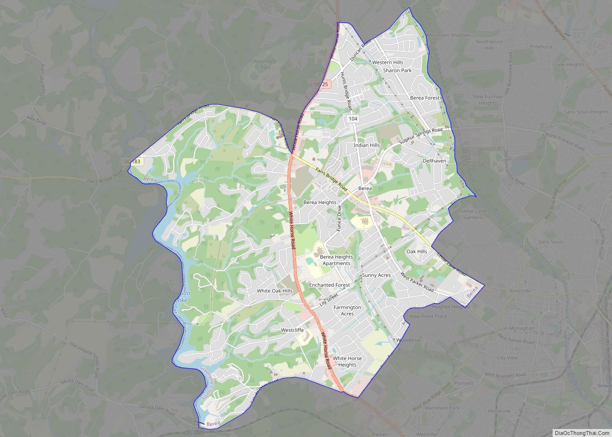
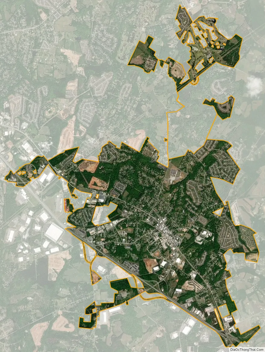
Fountain Inn city Satellite Map
Geography
The southern part of the city is in Laurens County, while the bulk of the city is in Greenville County. The city’s nickname is “The Diamond Tip of the Golden Strip”. The city took its name from an inn and fountain that were along the old stagecoach route. The stagecoach drivers called the stop “Fountain Inn”, and it stuck. A small garden fountain is installed at City Hall, and there is a marker on the north side of town showing the former location of the old inn.
South Carolina Highway 14 runs through the center of town as Main Street, and Interstate 385 runs along the southern edge of the city, with access from Exits 22, 23, and 26. Greenville is 17 miles (27 km) to the northwest, and Columbia is 84 miles (135 km) to the southeast. Via Highway 14, Laurens is 16 miles (26 km) to the southeast.
According to the U.S. Census Bureau, the city of Fountain Inn has a total area of 7.9 square miles (20.5 km), of which 0.04 square miles (0.1 km), or 0.43%, are water.
There are several festivals in Fountain Inn, including Aunt Het Day, based on syndicated cartoon columnist Robert Quillen, that brings in several hundred visitors as Main Street is closed and filled with many unique vendors.
See also
Map of South Carolina State and its subdivision:- Abbeville
- Aiken
- Allendale
- Anderson
- Bamberg
- Barnwell
- Beaufort
- Berkeley
- Calhoun
- Charleston
- Cherokee
- Chester
- Chesterfield
- Clarendon
- Colleton
- Darlington
- Dillon
- Dorchester
- Edgefield
- Fairfield
- Florence
- Georgetown
- Greenville
- Greenwood
- Hampton
- Horry
- Jasper
- Kershaw
- Lancaster
- Laurens
- Lee
- Lexington
- Marion
- Marlboro
- McCormick
- Newberry
- Oconee
- Orangeburg
- Pickens
- Richland
- Saluda
- Spartanburg
- Sumter
- Union
- Williamsburg
- York
- Alabama
- Alaska
- Arizona
- Arkansas
- California
- Colorado
- Connecticut
- Delaware
- District of Columbia
- Florida
- Georgia
- Hawaii
- Idaho
- Illinois
- Indiana
- Iowa
- Kansas
- Kentucky
- Louisiana
- Maine
- Maryland
- Massachusetts
- Michigan
- Minnesota
- Mississippi
- Missouri
- Montana
- Nebraska
- Nevada
- New Hampshire
- New Jersey
- New Mexico
- New York
- North Carolina
- North Dakota
- Ohio
- Oklahoma
- Oregon
- Pennsylvania
- Rhode Island
- South Carolina
- South Dakota
- Tennessee
- Texas
- Utah
- Vermont
- Virginia
- Washington
- West Virginia
- Wisconsin
- Wyoming