Hanahan is a city in Berkeley County, South Carolina, United States. The population was 12,937 at the 2000 census. The 2010 census puts the population at 17,997. Portions of the Naval Weapons Station Charleston, including the Naval Consolidated Brig Charleston, are located in Hanahan. As defined by the U.S. Office of Management and Budget, and used by the U.S. Census Bureau for statistical purposes only, Hanahan is included within the Charleston-North Charleston-Summerville metropolitan area and the Charleston-North Charleston Urbanized Area
| Name: | Hanahan city |
|---|---|
| LSAD Code: | 25 |
| LSAD Description: | city (suffix) |
| State: | South Carolina |
| County: | Berkeley County |
| Elevation: | 52 ft (16 m) |
| Total Area: | 11.55 sq mi (29.91 km²) |
| Land Area: | 10.52 sq mi (27.24 km²) |
| Water Area: | 1.03 sq mi (2.66 km²) |
| Total Population: | 20,325 |
| Population Density: | 1,932.22/sq mi (746.07/km²) |
| ZIP code: | 29410 |
| Area code: | 843, 854 |
| FIPS code: | 4532065 |
| GNISfeature ID: | 1223013 |
| Website: | www.cityofhanahan.com |
Online Interactive Map
Click on ![]() to view map in "full screen" mode.
to view map in "full screen" mode.
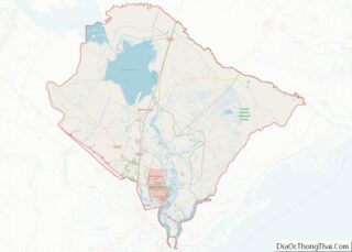
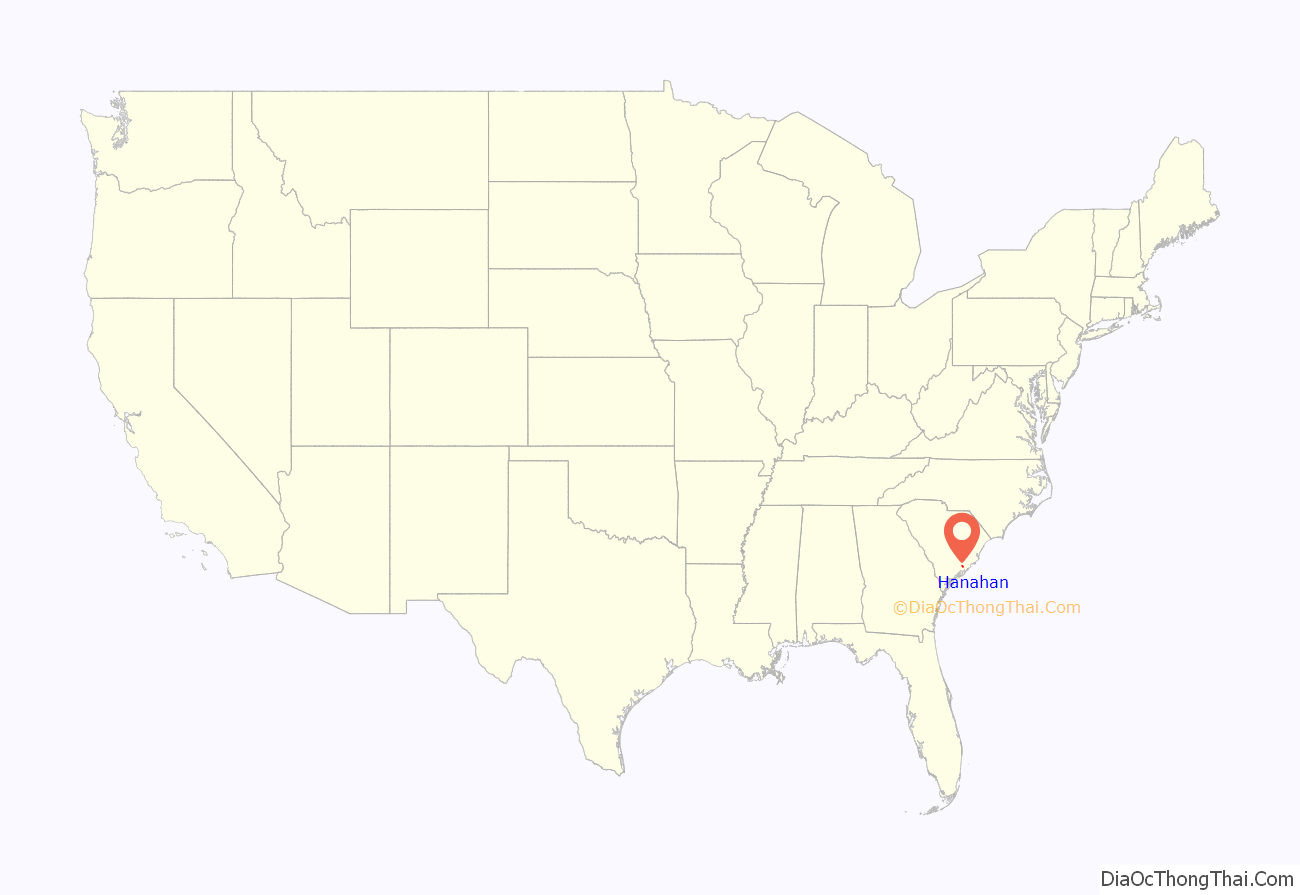
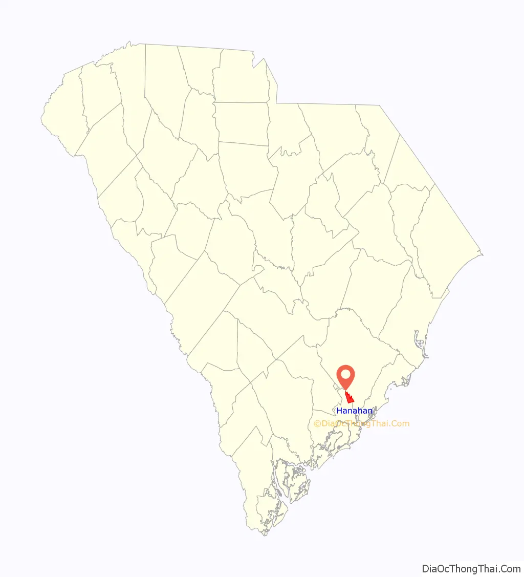
Hanahan location map. Where is Hanahan city?
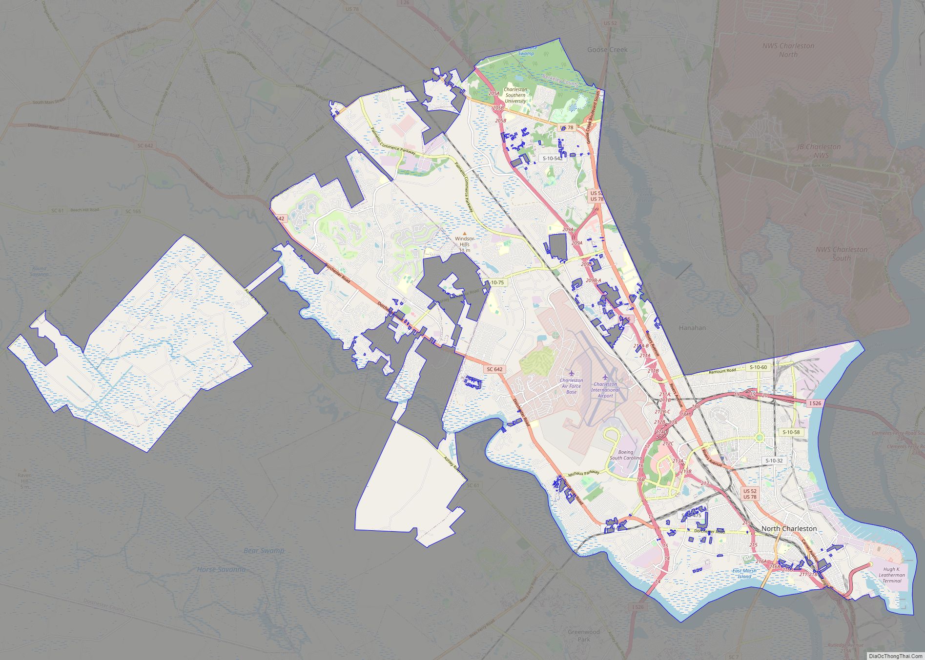
Hanahan Road Map

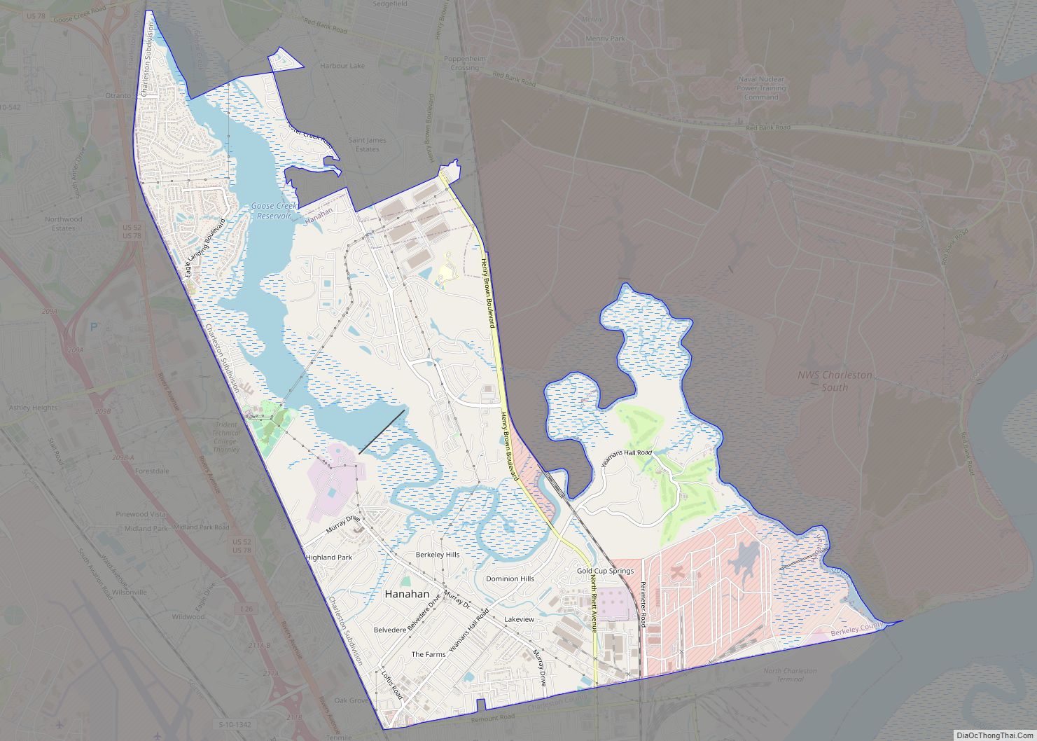
Hanahan city Satellite Map

Geography
Hanahan is located at the very south end of Berkeley County, and its city limits on the west and south sides are contiguous with the county line between Berkeley and Charleston counties. It was incorporated as a city in 1973.
Hanahan is bordered on the west and south by the city of North Charleston. To the east is the old Naval Weapons Station, which was formerly a submarine base, and is still federal property. A very small portion of this federal base is actually in Hanahan’s city limits. Among other uses of the former submarine base, the Naval Consolidated Brig is there, as is the Navy’s Nuclear Power School. To the east and north is the city of Goose Creek, as well as unincorporated portions of Berkeley County.
CSX Transportation has a main north-south track that runs along Hanahan’s west city limit. Hanahan is primarily a residential city. It does have quite a number of major warehouses in the northeast and southeast portions of the city, most of whose business is tied directly to the Port of Charleston, aeronautics, logistics and the defense industries. There are two commercial districts, one in the southernmost section of the city and another in Tanner Plantation. There has been some commercial development in the area known as Tanner Plantation, a primarily residential portion of the city which has developed over about the last 15 years. Hanahan’s proximity to rail and major roadways make it an ideal place for cargo warehousing.
The Otranto Plantation was listed on the National Register of Historic Places in 1978.
According to the United States Census Bureau, the city has a total area of 11.5 square miles (29.8 km), of which 10.7 square miles (27.7 km) is land and 0.81 square miles (2.1 km), or 7.14%, is water.
See also
Map of South Carolina State and its subdivision:- Abbeville
- Aiken
- Allendale
- Anderson
- Bamberg
- Barnwell
- Beaufort
- Berkeley
- Calhoun
- Charleston
- Cherokee
- Chester
- Chesterfield
- Clarendon
- Colleton
- Darlington
- Dillon
- Dorchester
- Edgefield
- Fairfield
- Florence
- Georgetown
- Greenville
- Greenwood
- Hampton
- Horry
- Jasper
- Kershaw
- Lancaster
- Laurens
- Lee
- Lexington
- Marion
- Marlboro
- McCormick
- Newberry
- Oconee
- Orangeburg
- Pickens
- Richland
- Saluda
- Spartanburg
- Sumter
- Union
- Williamsburg
- York
- Alabama
- Alaska
- Arizona
- Arkansas
- California
- Colorado
- Connecticut
- Delaware
- District of Columbia
- Florida
- Georgia
- Hawaii
- Idaho
- Illinois
- Indiana
- Iowa
- Kansas
- Kentucky
- Louisiana
- Maine
- Maryland
- Massachusetts
- Michigan
- Minnesota
- Mississippi
- Missouri
- Montana
- Nebraska
- Nevada
- New Hampshire
- New Jersey
- New Mexico
- New York
- North Carolina
- North Dakota
- Ohio
- Oklahoma
- Oregon
- Pennsylvania
- Rhode Island
- South Carolina
- South Dakota
- Tennessee
- Texas
- Utah
- Vermont
- Virginia
- Washington
- West Virginia
- Wisconsin
- Wyoming