Harleyville is a town in Dorchester County, South Carolina, United States. The population was 677 at the 2010 census, up from 594 at the 2000 census. Harleyville is part of the Charleston-North Charleston-Summerville metropolitan area. As of 2018 the population is 696.
| Name: | Harleyville town |
|---|---|
| LSAD Code: | 43 |
| LSAD Description: | town (suffix) |
| State: | South Carolina |
| County: | Dorchester County |
| Incorporated: | 1893 |
| Elevation: | 89 ft (27 m) |
| Total Area: | 1.06 sq mi (2.75 km²) |
| Land Area: | 1.06 sq mi (2.75 km²) |
| Water Area: | 0.00 sq mi (0.00 km²) |
| Total Population: | 666 |
| Population Density: | 627.12/sq mi (242.07/km²) |
| ZIP code: | 29448 |
| Area code: | 843, 854 |
| FIPS code: | 4532335 |
| GNISfeature ID: | 1223038 |
| Website: | www.harleyvillesc.com |
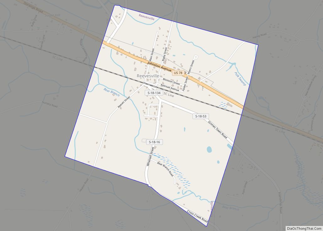
Online Interactive Map
Click on ![]() to view map in "full screen" mode.
to view map in "full screen" mode.
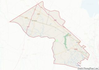
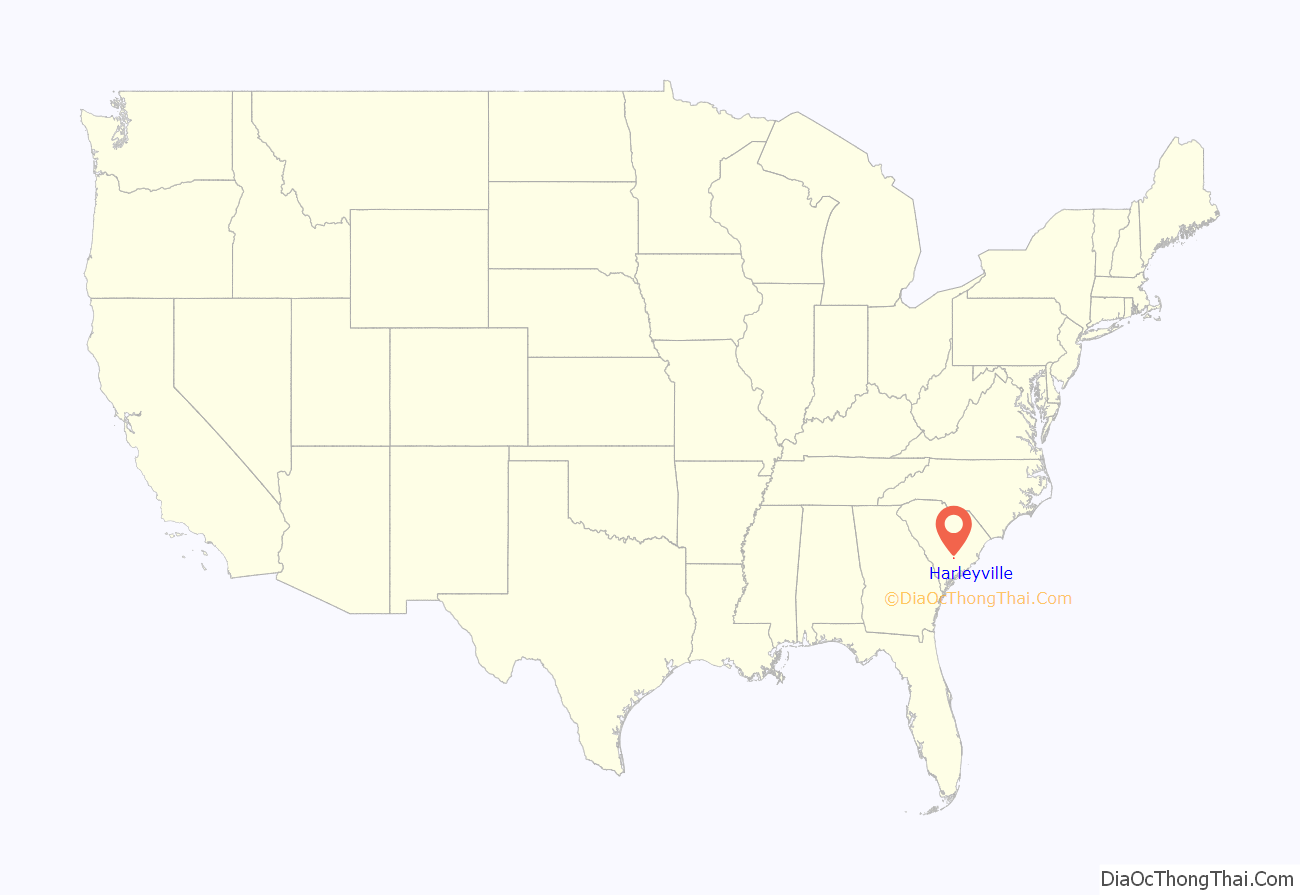
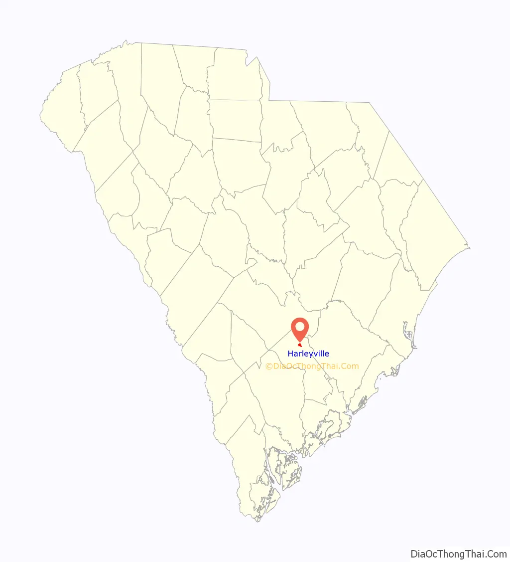
Harleyville location map. Where is Harleyville town?
History
Harleyville was named after the Harley family.
The St. Paul Camp Ground was added to the National Register of Historic Places in 1998.
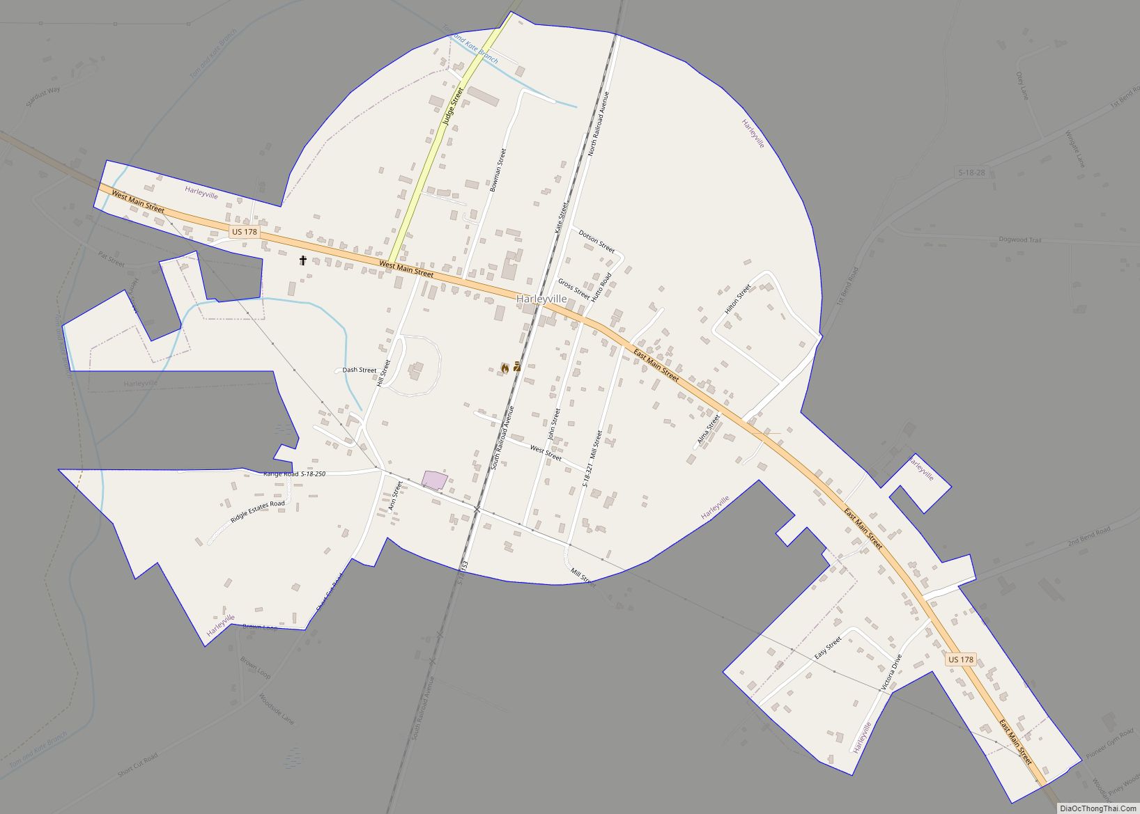
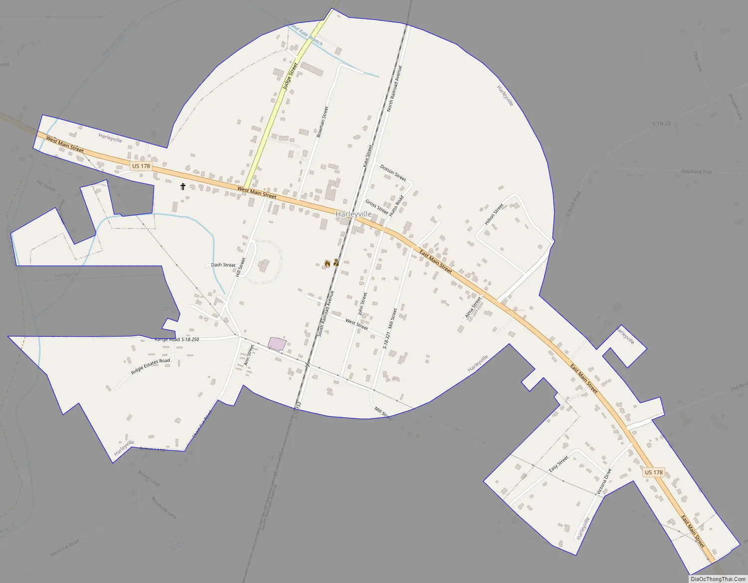
Harleyville Road Map
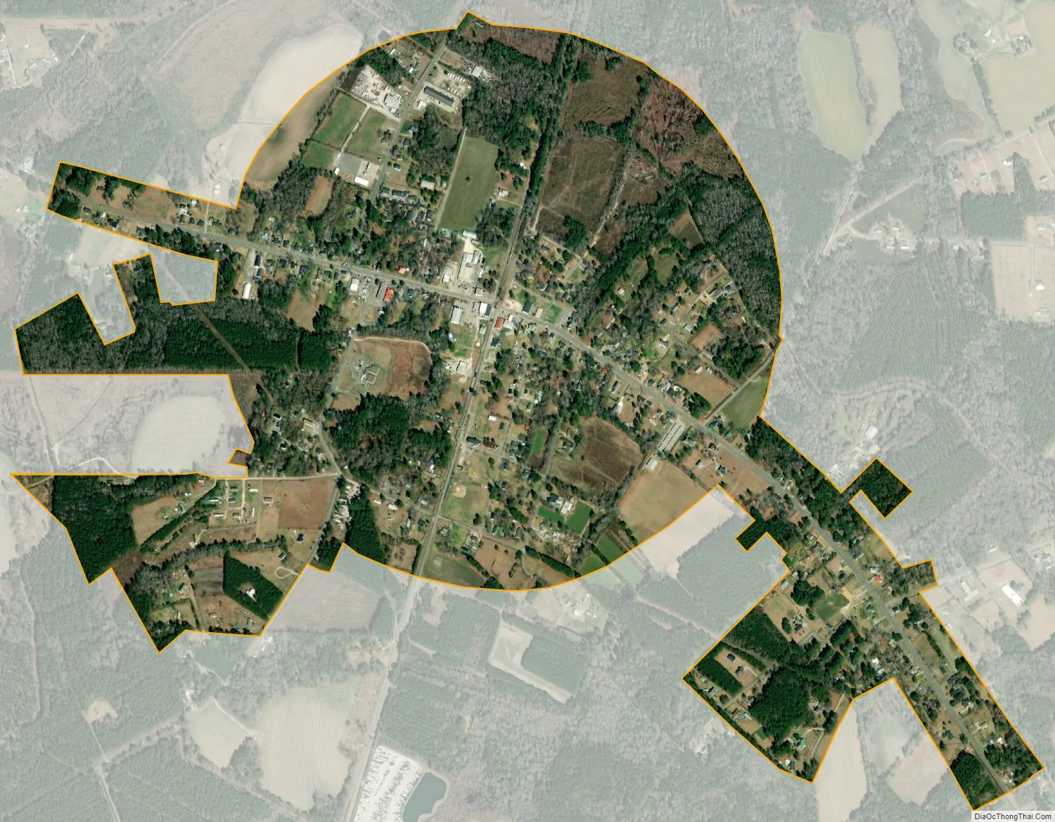
Harleyville city Satellite Map
Geography
Harleyville is located in northern Dorchester County at 33°12.7′N 80°26.9′W / 33.2117°N 80.4483°W / 33.2117; -80.4483 (33.2122, -80.4486). U.S. Route 178 passes through the center of town, leading northwest 31 miles (50 km) to Orangeburg and southeast 7 miles (11 km) to its terminus at U.S. Route 78. South Carolina Highway 453 leads north 1 mile (1.6 km) to Exit 177 on Interstate 26; I-26 leads northwest 68 miles (109 km) to Columbia and southeast 45 miles (72 km) to Charleston.
According to the United States Census Bureau, the town has a total area of 1.2 square miles (3.0 km), all of it land. The Audubon’s Francis Beidler forest is located just outside of town. Within the park, there are miles of boardwalks through the old four hole swamp.
See also
Map of South Carolina State and its subdivision:- Abbeville
- Aiken
- Allendale
- Anderson
- Bamberg
- Barnwell
- Beaufort
- Berkeley
- Calhoun
- Charleston
- Cherokee
- Chester
- Chesterfield
- Clarendon
- Colleton
- Darlington
- Dillon
- Dorchester
- Edgefield
- Fairfield
- Florence
- Georgetown
- Greenville
- Greenwood
- Hampton
- Horry
- Jasper
- Kershaw
- Lancaster
- Laurens
- Lee
- Lexington
- Marion
- Marlboro
- McCormick
- Newberry
- Oconee
- Orangeburg
- Pickens
- Richland
- Saluda
- Spartanburg
- Sumter
- Union
- Williamsburg
- York
- Alabama
- Alaska
- Arizona
- Arkansas
- California
- Colorado
- Connecticut
- Delaware
- District of Columbia
- Florida
- Georgia
- Hawaii
- Idaho
- Illinois
- Indiana
- Iowa
- Kansas
- Kentucky
- Louisiana
- Maine
- Maryland
- Massachusetts
- Michigan
- Minnesota
- Mississippi
- Missouri
- Montana
- Nebraska
- Nevada
- New Hampshire
- New Jersey
- New Mexico
- New York
- North Carolina
- North Dakota
- Ohio
- Oklahoma
- Oregon
- Pennsylvania
- Rhode Island
- South Carolina
- South Dakota
- Tennessee
- Texas
- Utah
- Vermont
- Virginia
- Washington
- West Virginia
- Wisconsin
- Wyoming