Simpsonville is a city in Greenville County, South Carolina, United States. It is part of the Greenville–Mauldin–Easley Metropolitan Statistical Area. The population was 22,234 at the 2020 census, up from 18,238 in 2010. Simpsonville is part of the “Golden Strip”, along with Mauldin and Fountain Inn, an area which is noted for having low unemployment due to a diversity of industries including H.B. Fuller, KEMET, Sealed Air and Milliken.
| Name: | Simpsonville city |
|---|---|
| LSAD Code: | 25 |
| LSAD Description: | city (suffix) |
| State: | South Carolina |
| County: | Greenville County |
| Elevation: | 866 ft (264 m) |
| Land Area: | 9.43 sq mi (24.41 km²) |
| Water Area: | 0.02 sq mi (0.05 km²) |
| Population Density: | 2,477.62/sq mi (956.56/km²) |
| ZIP code: | 29680-29681 |
| Area code: | 864 |
| FIPS code: | 4566580 |
| GNISfeature ID: | 1250898 |
| Website: | www.simpsonville.com |
Online Interactive Map
Click on ![]() to view map in "full screen" mode.
to view map in "full screen" mode.
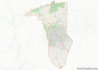
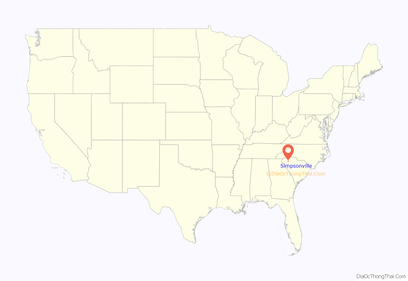
Simpsonville location map. Where is Simpsonville city?

History
The Burdette Building, Cureton-Huff House, Hopkins Farm, and Simpsonville Baptist Church are listed on the National Register of Historic Places.
The oldest brick building in town is a former pharmacy built in 1886 on East Curtis Street. The Woodside Mill, central to the local economy in the early 1900s, includes an antique water tower.
In October 2018, a winning lottery ticket for a $1.6 billion Mega Millions jackpot was sold at the #7 KC Mart in Simpsonville.
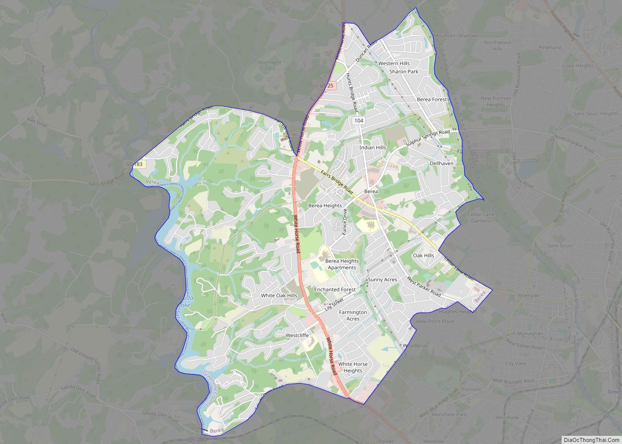
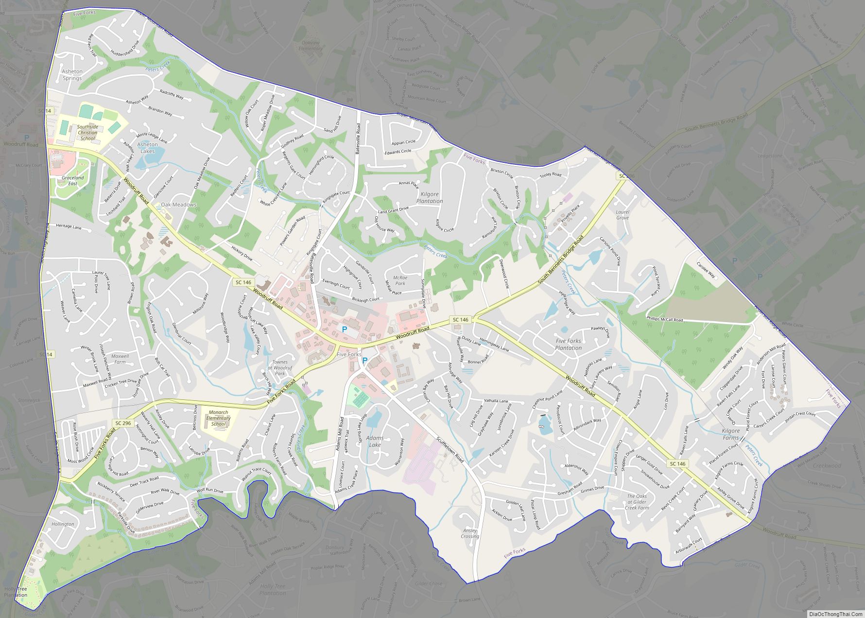
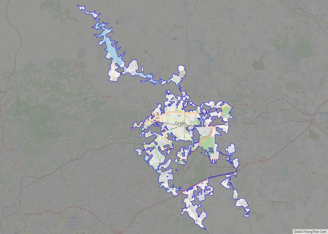
Simpsonville Road Map

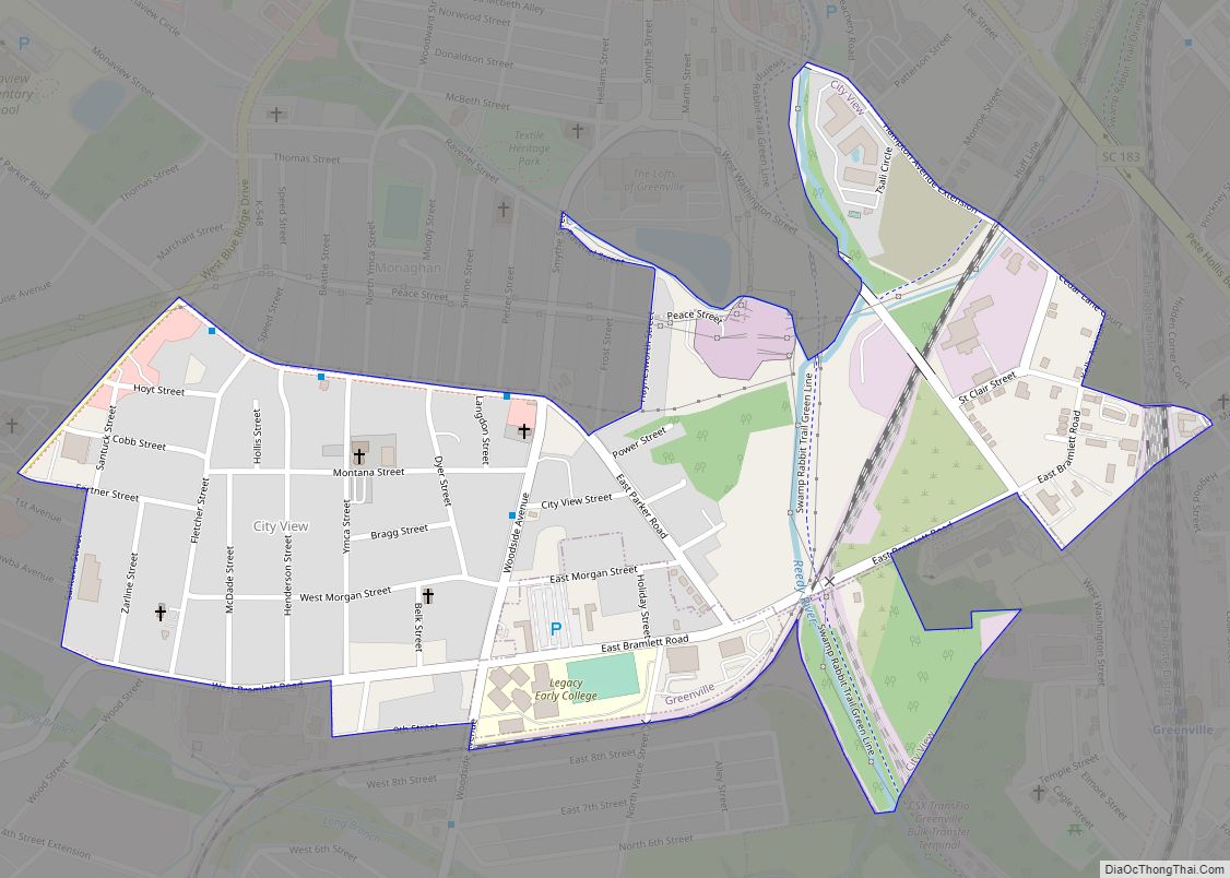
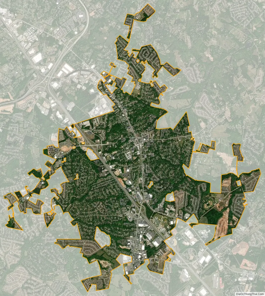
Simpsonville city Satellite Map
Geography
Simpsonville is located in southeastern Greenville County at 34°44′0″N 82°15′36″W / 34.73333°N 82.26000°W / 34.73333; -82.26000 (34.733375, -82.260001), between Mauldin to the northwest and Fountain Inn to the southeast. The center of town has an elevation of 866 feet (264 m) above sea level.
South Carolina Highway 14 runs through the center of Simpsonville as Main Street, leading north 16 miles (26 km) to Greer and southeast 5 miles (8 km) to the center of Fountain Inn. The center of Mauldin is 4.5 miles (7.2 km) to the northwest via South Carolina Highway 417. Interstate 385 passes through Simpsonville west of the city center, with access from exits 26 through 29. I-385 leads northwest 14 miles (23 km) to the center of Greenville and southeast 28 miles (45 km) to Interstate 26 near Clinton. Columbia, the state capital, is 89 miles (143 km) southeast of Simpsonville.
According to the United States Census Bureau, Simpsonville has a total area of 8.90 square miles (23.05 km), of which 8.70 square miles (22.53 km) are land and 0.02 square miles (0.052 km), or 0.22%, are water.
See also
Map of South Carolina State and its subdivision:- Abbeville
- Aiken
- Allendale
- Anderson
- Bamberg
- Barnwell
- Beaufort
- Berkeley
- Calhoun
- Charleston
- Cherokee
- Chester
- Chesterfield
- Clarendon
- Colleton
- Darlington
- Dillon
- Dorchester
- Edgefield
- Fairfield
- Florence
- Georgetown
- Greenville
- Greenwood
- Hampton
- Horry
- Jasper
- Kershaw
- Lancaster
- Laurens
- Lee
- Lexington
- Marion
- Marlboro
- McCormick
- Newberry
- Oconee
- Orangeburg
- Pickens
- Richland
- Saluda
- Spartanburg
- Sumter
- Union
- Williamsburg
- York
- Alabama
- Alaska
- Arizona
- Arkansas
- California
- Colorado
- Connecticut
- Delaware
- District of Columbia
- Florida
- Georgia
- Hawaii
- Idaho
- Illinois
- Indiana
- Iowa
- Kansas
- Kentucky
- Louisiana
- Maine
- Maryland
- Massachusetts
- Michigan
- Minnesota
- Mississippi
- Missouri
- Montana
- Nebraska
- Nevada
- New Hampshire
- New Jersey
- New Mexico
- New York
- North Carolina
- North Dakota
- Ohio
- Oklahoma
- Oregon
- Pennsylvania
- Rhode Island
- South Carolina
- South Dakota
- Tennessee
- Texas
- Utah
- Vermont
- Virginia
- Washington
- West Virginia
- Wisconsin
- Wyoming