McClellanville is a small fishing town in rural Charleston County, South Carolina, United States. The population was 1,040 at the 2010 census. It is situated on the Atlantic coast, on land surrounded by Francis Marion National Forest, and has traditionally derived its livelihood from the Atlantic Ocean and coastal marshes by fishing, shrimping and oystering. McClellanville is part of the Charleston-North Charleston-Summerville metropolitan area and the Charleston-North Charleston Urbanized Area.
| Name: | McClellanville town |
|---|---|
| LSAD Code: | 43 |
| LSAD Description: | town (suffix) |
| State: | South Carolina |
| County: | Charleston County |
| Elevation: | 8 ft (2 m) |
| Total Area: | 2.34 sq mi (6.07 km²) |
| Land Area: | 2.23 sq mi (5.77 km²) |
| Water Area: | 0.12 sq mi (0.31 km²) |
| Total Population: | 605 |
| Population Density: | 271.67/sq mi (104.87/km²) |
| ZIP code: | 29458 |
| Area code: | 843, 854 |
| FIPS code: | 4543585 |
| GNISfeature ID: | 1252622 |
| Website: | www.mcclellanvillesc.org |
Online Interactive Map
Click on ![]() to view map in "full screen" mode.
to view map in "full screen" mode.
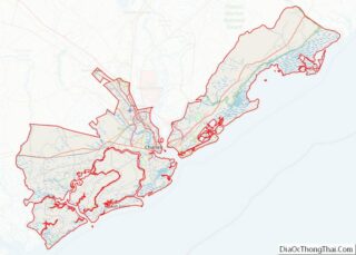
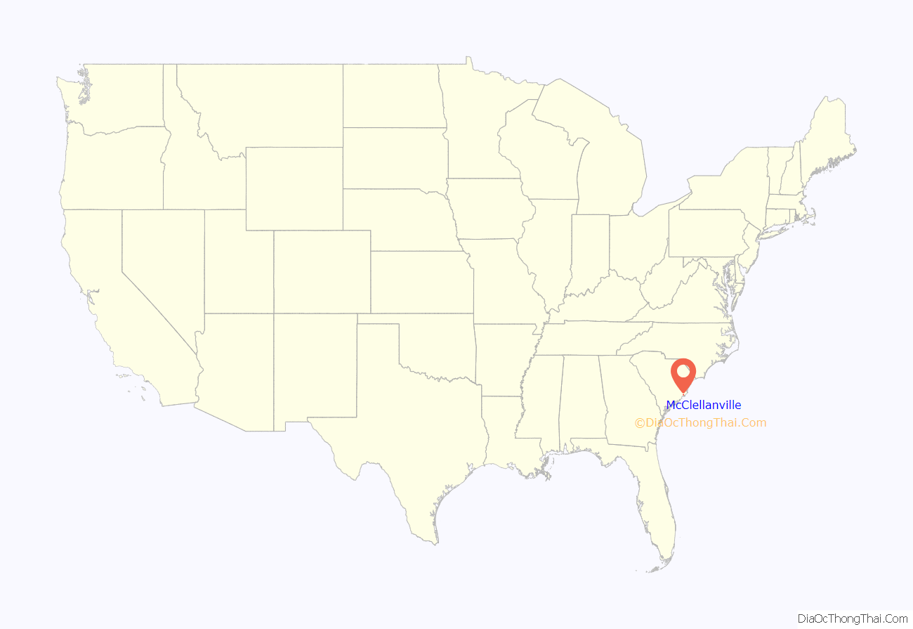
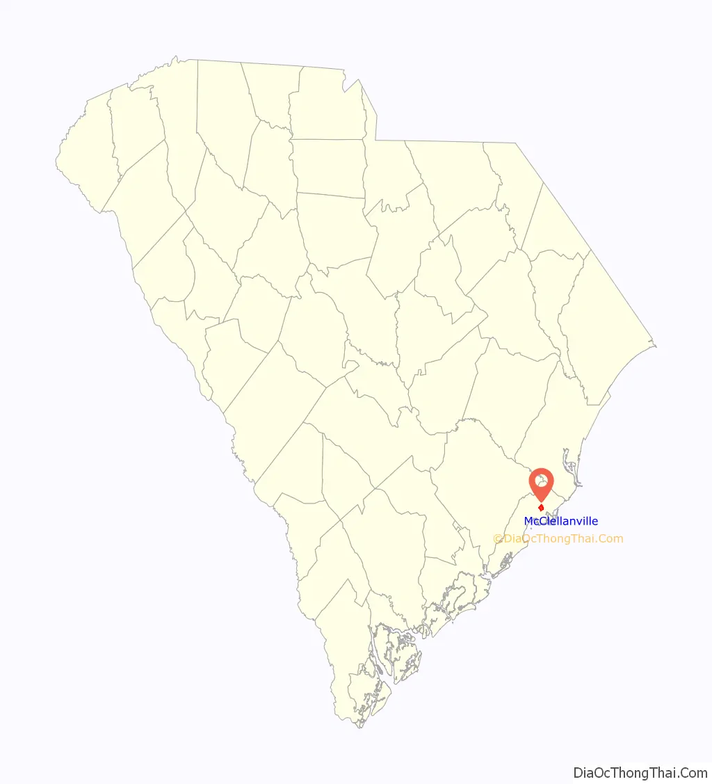
McClellanville location map. Where is McClellanville town?
History
McClellanville village began in the late 1860s when local plantation owners A.J. McClellan and R.T. Morrison sold lots in the vicinity of Jeremy Creek to planters of the Santee Delta, who sought relief from summer fevers. The first store opened soon after the Civil War, and the village became the social and economic center for a wide area that produced timber, rice, cotton, naval stores, and seafoods. Incorporated in 1926, McClellanville became, and remains, best known for its shrimping fleet and seafood industries.
In 1989 the town was devastated by the full brunt of Hurricane Hugo which destroyed homes, downed century-old oaks, deposited shrimp boats in front yards, and otherwise altered much of the picturesque character of this historic fishing village. The stronger north side of the eyewall passed directly over the village while a Category 4 hurricane. Residents taking refuge in the local high school, a designated storm shelter, were surprised by a storm surge which threatened to drown the refugees. Helping one another in complete darkness, they managed to crawl into a space above the false ceilings of the building and none were lost.
The Bethel African Methodist Episcopal Church, Cape Romain Lighthouses, Fairfield Plantation, Hampton Plantation, Harrietta Plantation, McClellanville Historic District, Wedge Plantation, and Old Georgetown Road are listed on the National Register of Historic Places.
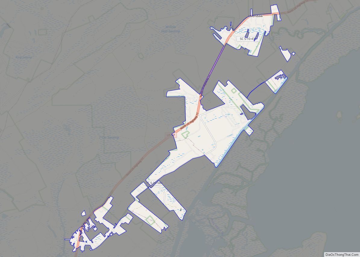
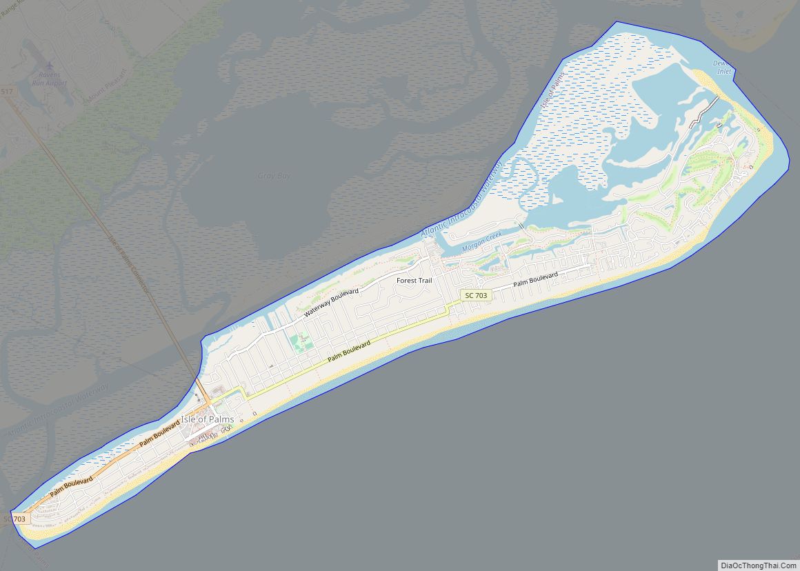
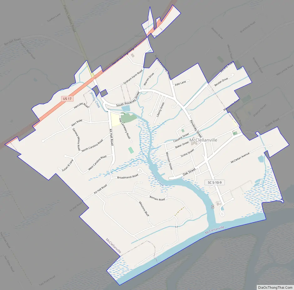
McClellanville Road Map
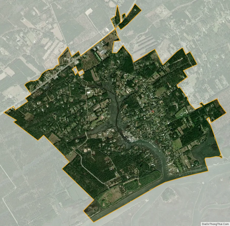
McClellanville city Satellite Map
Geography
McClellanville is located in northeastern Charleston County at 33°5′20.23″N 79°28′2.23″W / 33.0889528°N 79.4672861°W / 33.0889528; -79.4672861 (33.088953,-79.467287). U.S. Route 17 passes along the northwestern edge of the town, leading northeast 23 miles (37 km) to Georgetown and southwest 38 miles (61 km) to Charleston.
According to the United States Census Bureau, McClellanville has a total area of 2.4 square miles (6.1 km), of which 2.2 square miles (5.8 km) is land and 0.1 square miles (0.3 km), or 5.02%, is water. Jeremy Creek, a tidal inlet, runs through the center of the town, and the town limits extend south to the Intracoastal Waterway, adjacent to Cape Romain National Wildlife Refuge.
See also
Map of South Carolina State and its subdivision:- Abbeville
- Aiken
- Allendale
- Anderson
- Bamberg
- Barnwell
- Beaufort
- Berkeley
- Calhoun
- Charleston
- Cherokee
- Chester
- Chesterfield
- Clarendon
- Colleton
- Darlington
- Dillon
- Dorchester
- Edgefield
- Fairfield
- Florence
- Georgetown
- Greenville
- Greenwood
- Hampton
- Horry
- Jasper
- Kershaw
- Lancaster
- Laurens
- Lee
- Lexington
- Marion
- Marlboro
- McCormick
- Newberry
- Oconee
- Orangeburg
- Pickens
- Richland
- Saluda
- Spartanburg
- Sumter
- Union
- Williamsburg
- York
- Alabama
- Alaska
- Arizona
- Arkansas
- California
- Colorado
- Connecticut
- Delaware
- District of Columbia
- Florida
- Georgia
- Hawaii
- Idaho
- Illinois
- Indiana
- Iowa
- Kansas
- Kentucky
- Louisiana
- Maine
- Maryland
- Massachusetts
- Michigan
- Minnesota
- Mississippi
- Missouri
- Montana
- Nebraska
- Nevada
- New Hampshire
- New Jersey
- New Mexico
- New York
- North Carolina
- North Dakota
- Ohio
- Oklahoma
- Oregon
- Pennsylvania
- Rhode Island
- South Carolina
- South Dakota
- Tennessee
- Texas
- Utah
- Vermont
- Virginia
- Washington
- West Virginia
- Wisconsin
- Wyoming