Princeton is an unincorporated community and census-designated place (CDP) in Laurens County, South Carolina, United States. The population was 62 at the 2010 census. It is part of the Greenville–Mauldin–Easley Metropolitan Statistical Area.
| Name: | Princeton CDP |
|---|---|
| LSAD Code: | 57 |
| LSAD Description: | CDP (suffix) |
| State: | South Carolina |
| County: | Laurens County |
| Elevation: | 761 ft (232 m) |
| Total Area: | 0.78 sq mi (2.02 km²) |
| Land Area: | 0.78 sq mi (2.02 km²) |
| Water Area: | 0.00 sq mi (0.00 km²) |
| Total Population: | 49 |
| Population Density: | 62.90/sq mi (24.27/km²) |
| ZIP code: | 29654 |
| Area code: | 864 |
| FIPS code: | 4558435 |
| GNISfeature ID: | 1231691 |
Online Interactive Map
Click on ![]() to view map in "full screen" mode.
to view map in "full screen" mode.
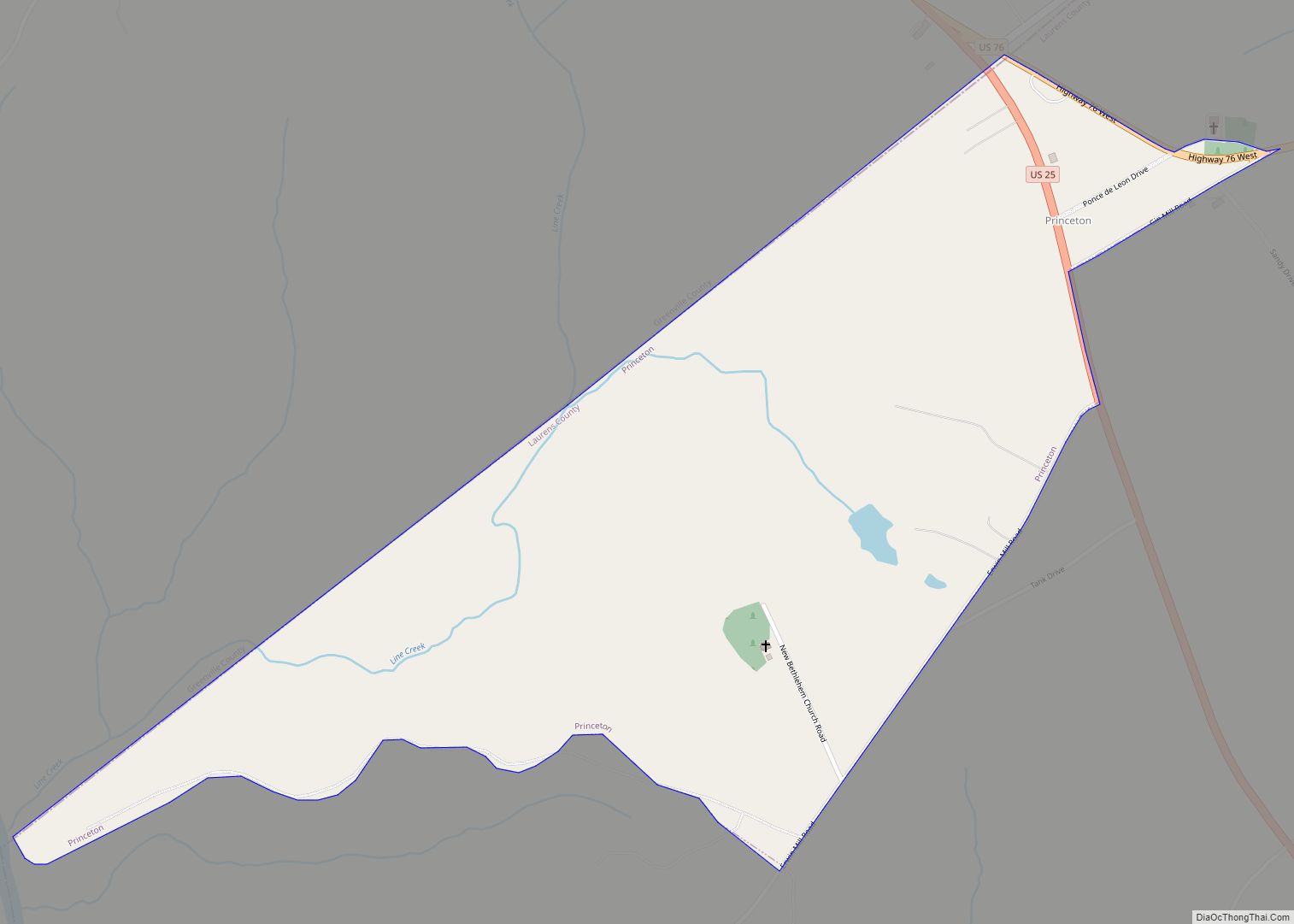
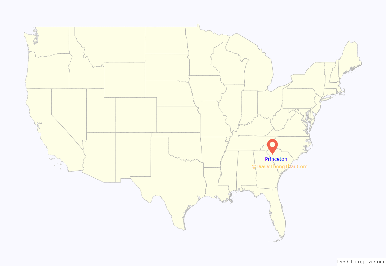
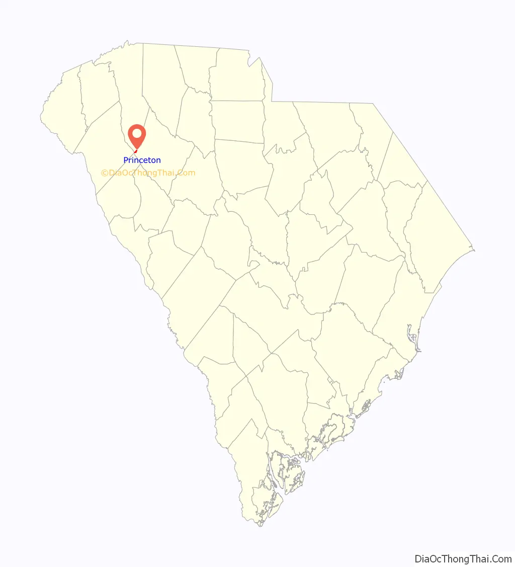
Princeton location map. Where is Princeton CDP?
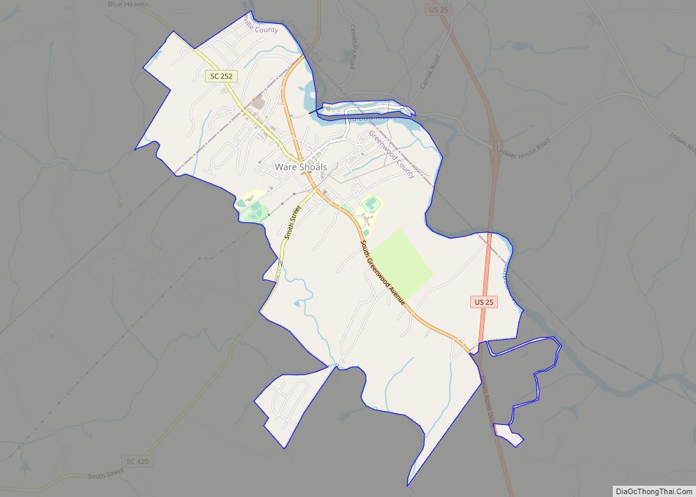
Princeton Road Map

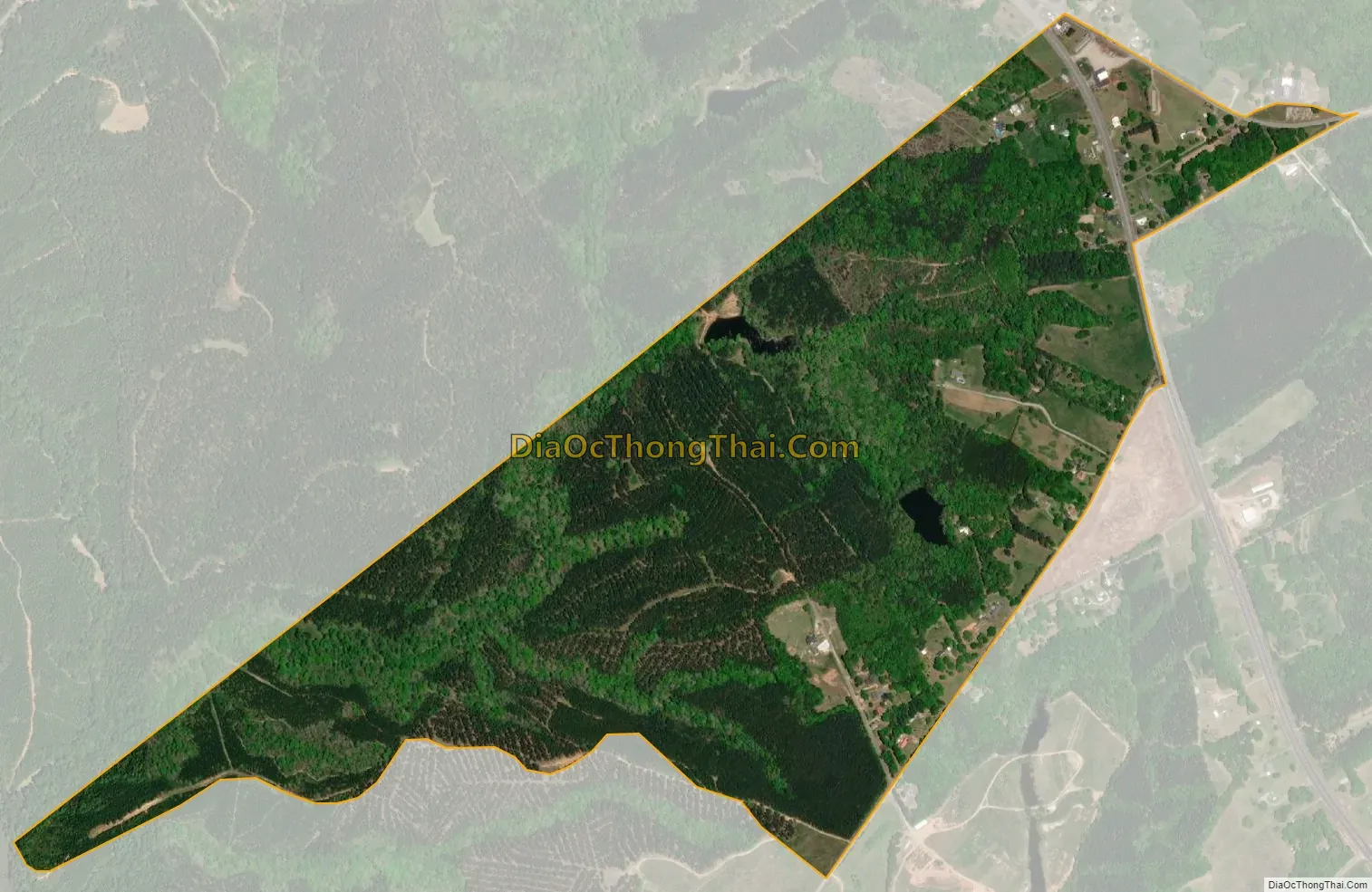
Princeton city Satellite Map
Geography
Princeton is located in western Laurens County at 34°29′50″N 82°17′8″W / 34.49722°N 82.28556°W / 34.49722; -82.28556 (34.497348, -82.285457), along the border with Greenville County. U.S. Routes 25 and 76 join 300 feet (90 m) west of the CDP, with US 25 leading south 23 miles (37 km) to Greenwood and US 76 leading east 17 miles (27 km) to Laurens. The two highways run northwest together for one mile, with US 25 continuing north 28 miles (45 km) to Greenville and US 76 leading west 28 miles to Anderson.
According to the United States Census Bureau, the Princeton CDP has a total area of 0.73 square miles (1.9 km), all land.
See also
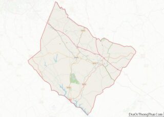
Map of South Carolina State and its subdivision:- Abbeville
- Aiken
- Allendale
- Anderson
- Bamberg
- Barnwell
- Beaufort
- Berkeley
- Calhoun
- Charleston
- Cherokee
- Chester
- Chesterfield
- Clarendon
- Colleton
- Darlington
- Dillon
- Dorchester
- Edgefield
- Fairfield
- Florence
- Georgetown
- Greenville
- Greenwood
- Hampton
- Horry
- Jasper
- Kershaw
- Lancaster
- Laurens
- Lee
- Lexington
- Marion
- Marlboro
- McCormick
- Newberry
- Oconee
- Orangeburg
- Pickens
- Richland
- Saluda
- Spartanburg
- Sumter
- Union
- Williamsburg
- York
- Alabama
- Alaska
- Arizona
- Arkansas
- California
- Colorado
- Connecticut
- Delaware
- District of Columbia
- Florida
- Georgia
- Hawaii
- Idaho
- Illinois
- Indiana
- Iowa
- Kansas
- Kentucky
- Louisiana
- Maine
- Maryland
- Massachusetts
- Michigan
- Minnesota
- Mississippi
- Missouri
- Montana
- Nebraska
- Nevada
- New Hampshire
- New Jersey
- New Mexico
- New York
- North Carolina
- North Dakota
- Ohio
- Oklahoma
- Oregon
- Pennsylvania
- Rhode Island
- South Carolina
- South Dakota
- Tennessee
- Texas
- Utah
- Vermont
- Virginia
- Washington
- West Virginia
- Wisconsin
- Wyoming