Red Bank is an unincorporated community and census-designated place (CDP) in Lexington County, South Carolina, United States. The population was 9,617 at the 2010 census, up from 8,811 at the 2000 census. It is part of the Columbia, South Carolina Metropolitan Statistical Area.
| Name: | Red Bank CDP |
|---|---|
| LSAD Code: | 57 |
| LSAD Description: | CDP (suffix) |
| State: | South Carolina |
| County: | Lexington County |
| Elevation: | 341 ft (104 m) |
| Total Area: | 12.76 sq mi (33.05 km²) |
| Land Area: | 12.54 sq mi (32.47 km²) |
| Water Area: | 0.22 sq mi (0.58 km²) |
| Total Population: | 10,924 |
| Population Density: | 871.34/sq mi (336.44/km²) |
| ZIP code: | 29073 |
| Area code: | 803, 839 |
| FIPS code: | 4559110 |
| GNISfeature ID: | 1250298 |
Online Interactive Map
Click on ![]() to view map in "full screen" mode.
to view map in "full screen" mode.
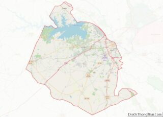
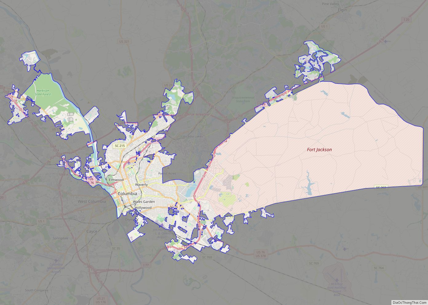
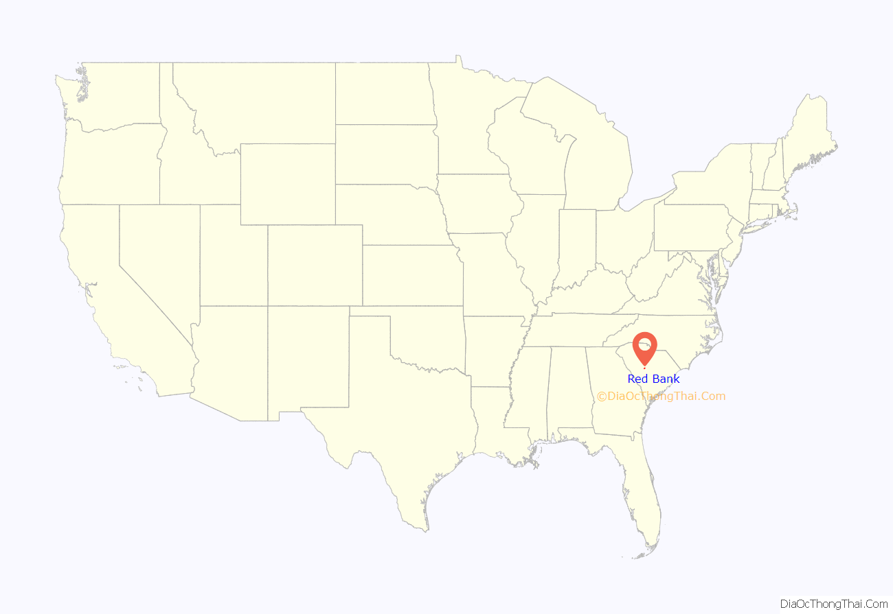
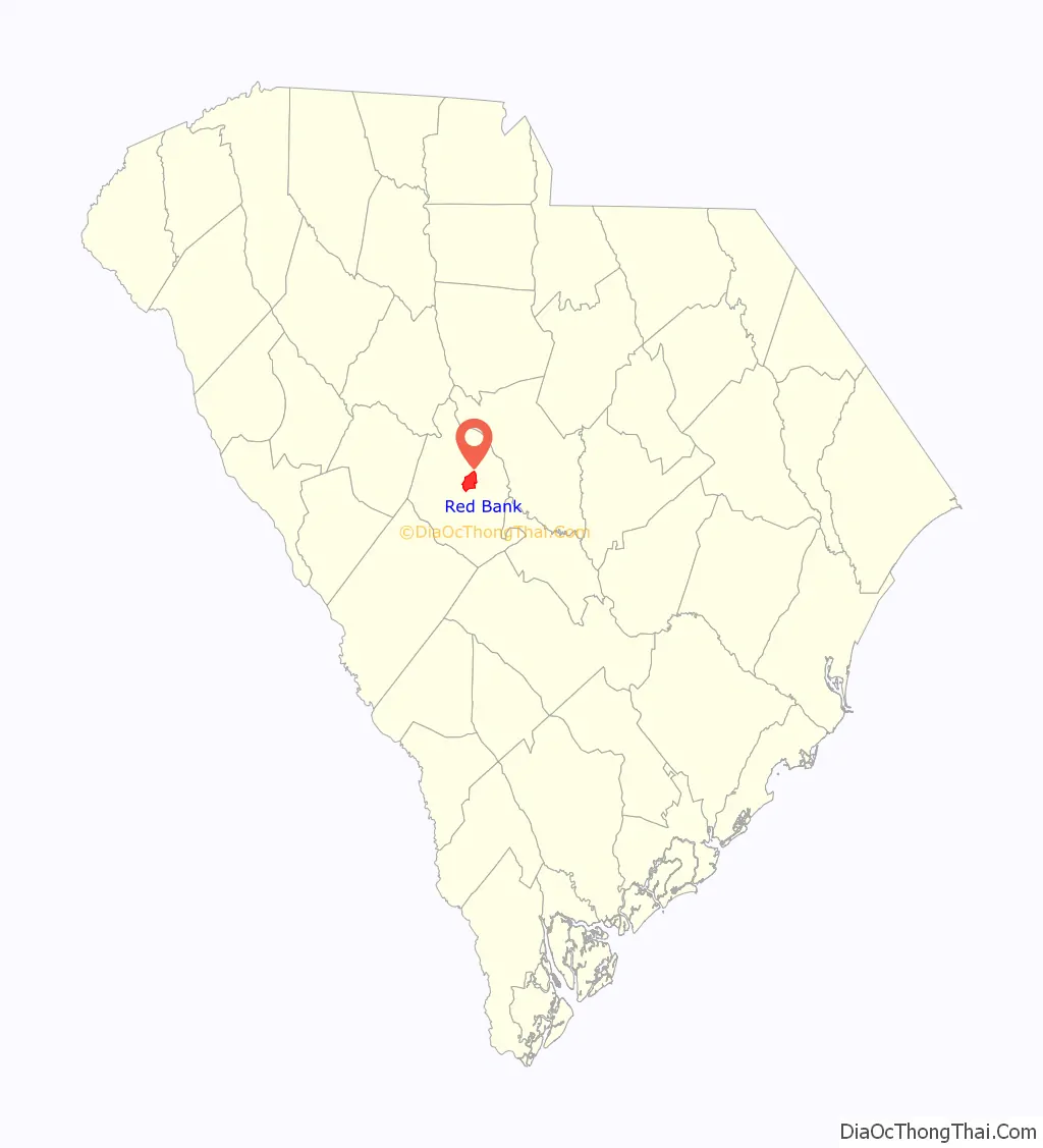
Red Bank location map. Where is Red Bank CDP?
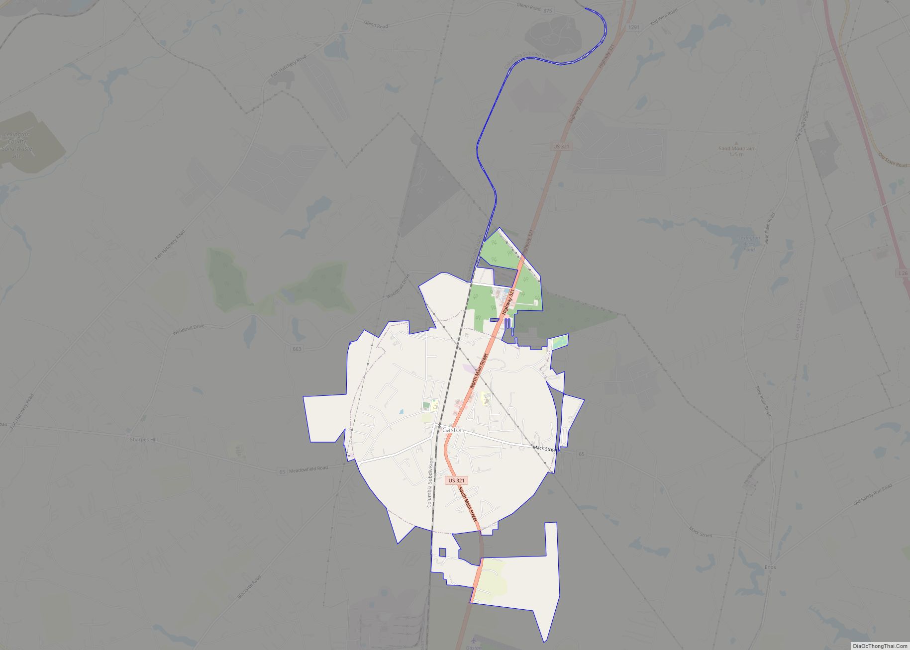
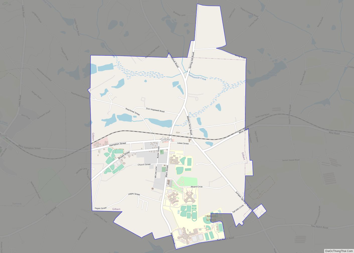
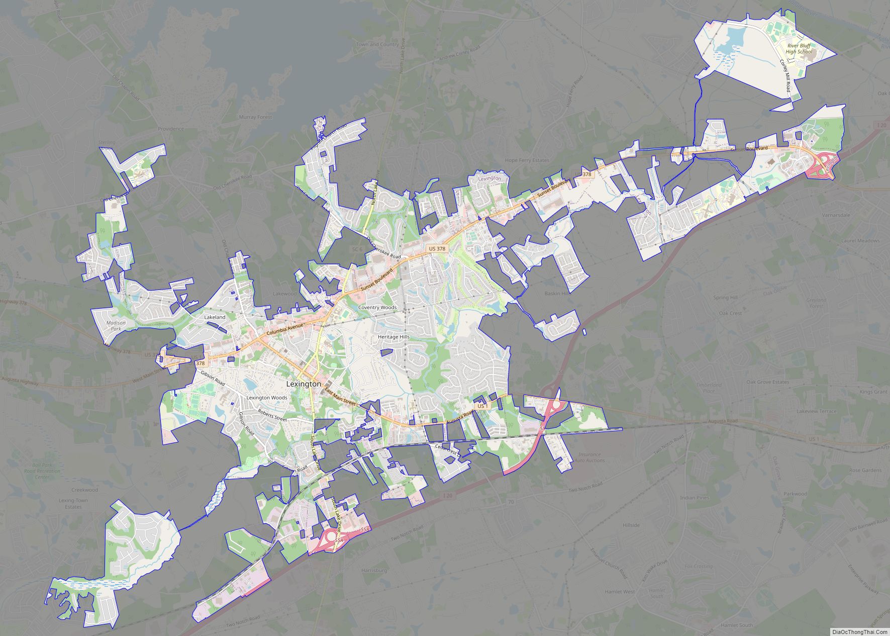
Red Bank Road Map

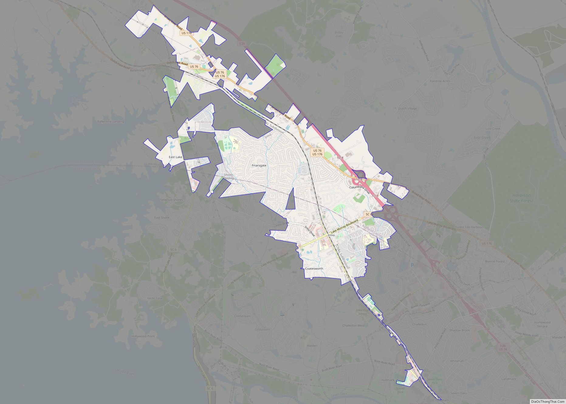
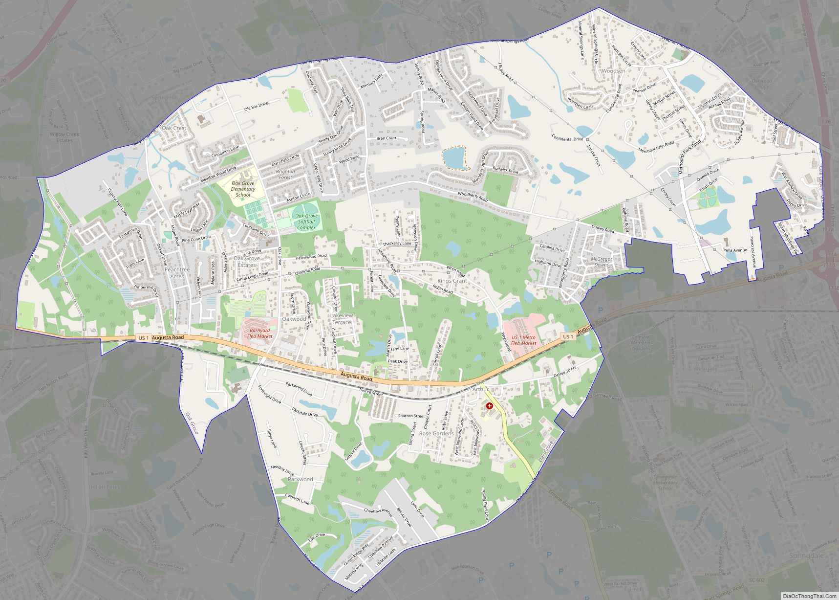
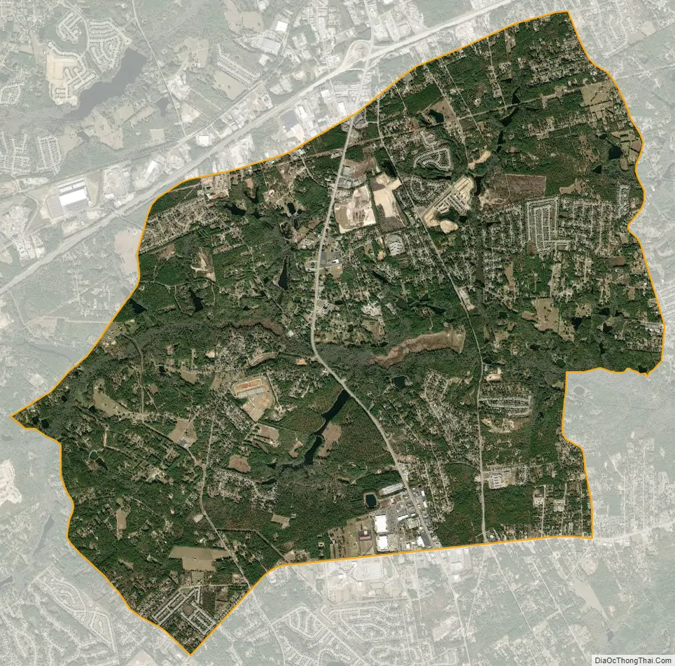
Red Bank city Satellite Map
Geography
Red Bank is located just east of the center of Lexington County at 33°55′55″N 81°13′49″W / 33.93194°N 81.23028°W / 33.93194; -81.23028 (33.932005, -81.230211). It is bordered to the north by Lexington, the county seat, and to the south by the White Knoll CDP. South Carolina Highway 6 (S. Lake Drive) is the main road through town, leading north 3.5 miles (5.6 km) to the center of Lexington and south 5.5 miles (8.9 km) to Edmund. Platt Springs Road (South Carolina Highway 602 east of SC-6) forms the border between Red Bank and White Knoll. Highway 602 leads northeast 11 miles (18 km) to West Columbia.
According to the United States Census Bureau, the Red Bank CDP has a total area of 12.0 square miles (31.2 km), of which 11.8 square miles (30.6 km) are land and 0.2 square miles (0.6 km), or 1.85%, are water. Red Bank Creek, an east-flowing tributary of Congaree Creek and part of the Congaree River watershed, passes just south of the original town center. Crystal Lake and Saxe-Gotha Millpond are two small reservoirs impounding the creek.
See also
Map of South Carolina State and its subdivision:- Abbeville
- Aiken
- Allendale
- Anderson
- Bamberg
- Barnwell
- Beaufort
- Berkeley
- Calhoun
- Charleston
- Cherokee
- Chester
- Chesterfield
- Clarendon
- Colleton
- Darlington
- Dillon
- Dorchester
- Edgefield
- Fairfield
- Florence
- Georgetown
- Greenville
- Greenwood
- Hampton
- Horry
- Jasper
- Kershaw
- Lancaster
- Laurens
- Lee
- Lexington
- Marion
- Marlboro
- McCormick
- Newberry
- Oconee
- Orangeburg
- Pickens
- Richland
- Saluda
- Spartanburg
- Sumter
- Union
- Williamsburg
- York
- Alabama
- Alaska
- Arizona
- Arkansas
- California
- Colorado
- Connecticut
- Delaware
- District of Columbia
- Florida
- Georgia
- Hawaii
- Idaho
- Illinois
- Indiana
- Iowa
- Kansas
- Kentucky
- Louisiana
- Maine
- Maryland
- Massachusetts
- Michigan
- Minnesota
- Mississippi
- Missouri
- Montana
- Nebraska
- Nevada
- New Hampshire
- New Jersey
- New Mexico
- New York
- North Carolina
- North Dakota
- Ohio
- Oklahoma
- Oregon
- Pennsylvania
- Rhode Island
- South Carolina
- South Dakota
- Tennessee
- Texas
- Utah
- Vermont
- Virginia
- Washington
- West Virginia
- Wisconsin
- Wyoming