Seven Oaks is a census-designated place (CDP) in Lexington County, South Carolina, United States, 8 miles (13 km) northwest of downtown Columbia, the state capital. The population of the CDP was 15,144 at the 2010 census. It is part of the Columbia Metropolitan Statistical Area.
| Name: | Seven Oaks CDP |
|---|---|
| LSAD Code: | 57 |
| LSAD Description: | CDP (suffix) |
| State: | South Carolina |
| County: | Lexington County |
| Elevation: | 217 ft (66 m) |
| Total Area: | 7.77 sq mi (20.11 km²) |
| Land Area: | 7.65 sq mi (19.82 km²) |
| Water Area: | 0.11 sq mi (0.30 km²) |
| Total Population: | 14,652 |
| Population Density: | 1,914.79/sq mi (739.32/km²) |
| FIPS code: | 4565207 |
| GNISfeature ID: | 1867530 |
Online Interactive Map
Click on ![]() to view map in "full screen" mode.
to view map in "full screen" mode.
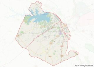
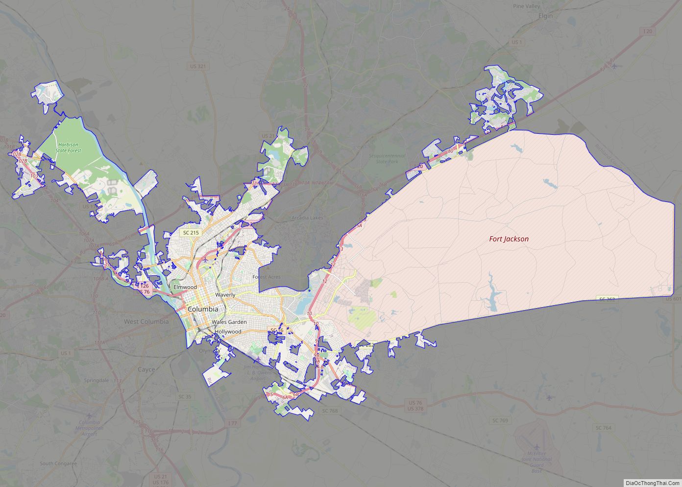
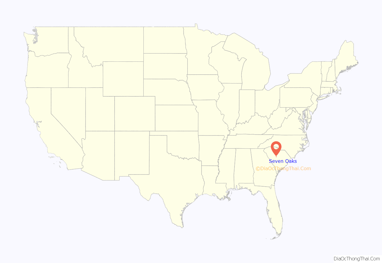
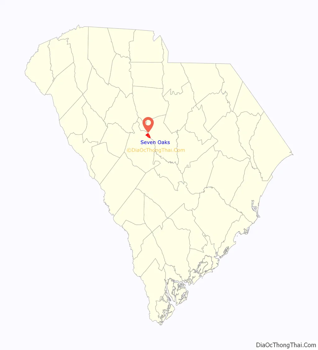
Seven Oaks location map. Where is Seven Oaks CDP?
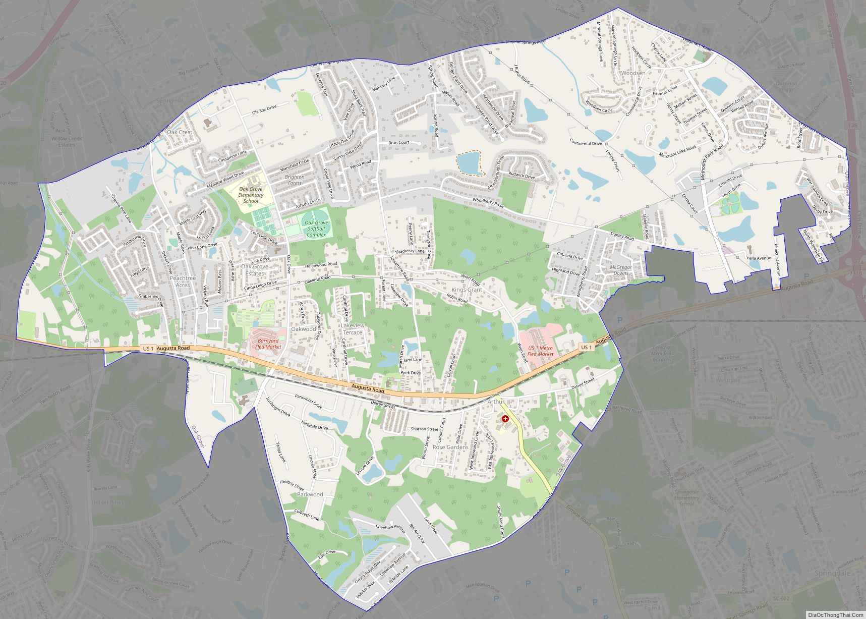
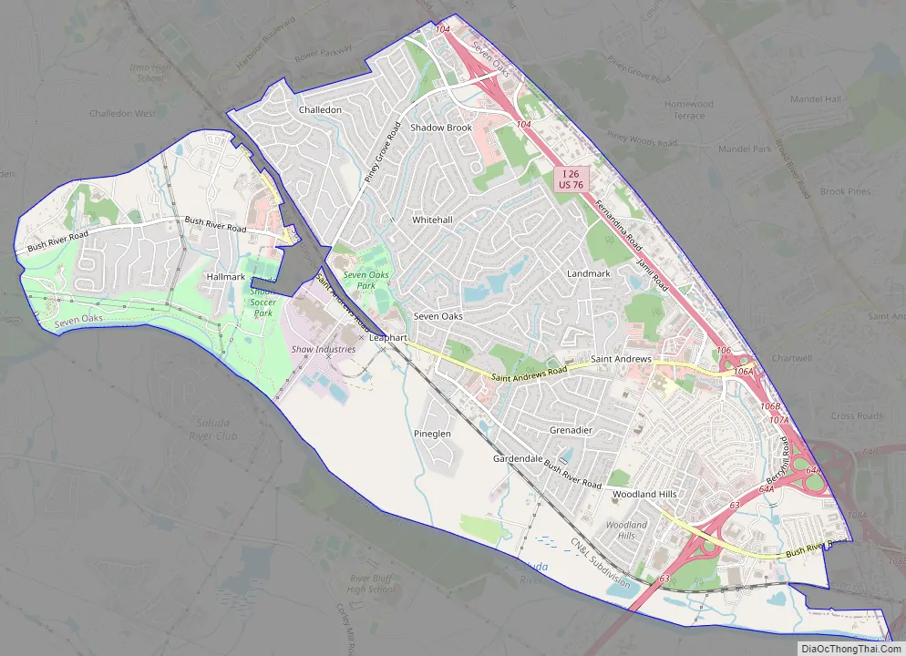
Seven Oaks Road Map
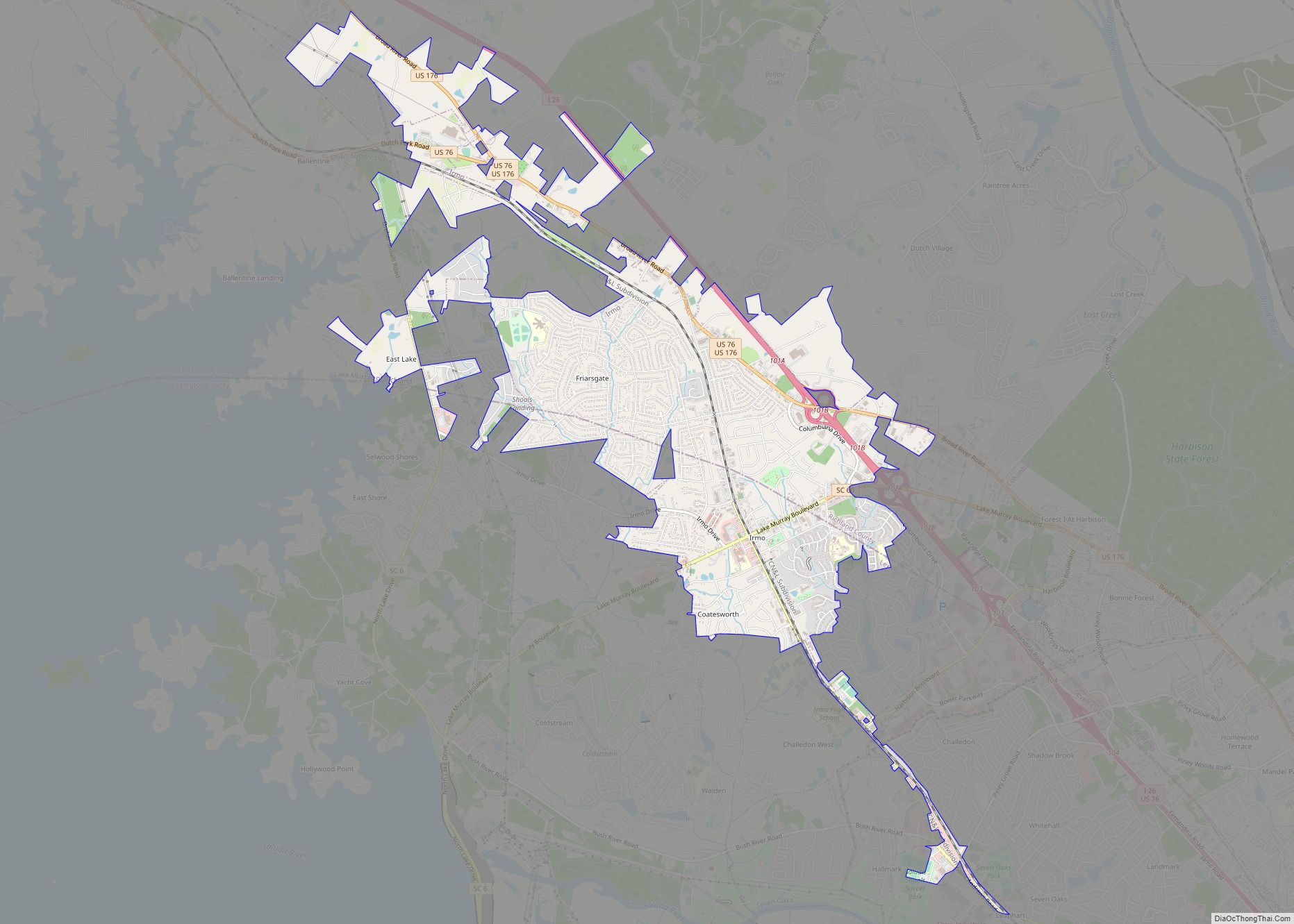
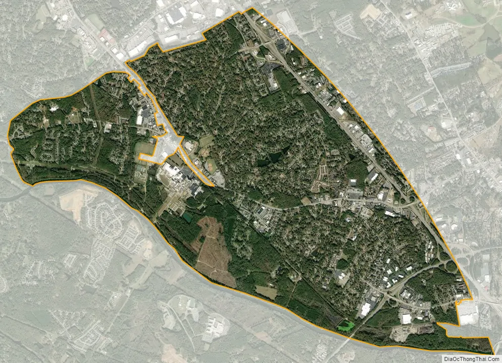
Seven Oaks city Satellite Map
Geography
Seven Oaks is located in northeastern Lexington County at 34°2′57″N 81°8′31″W / 34.04917°N 81.14194°W / 34.04917; -81.14194 (34.049200, -81.141948). It is bordered to the northwest by the city of Irmo, to the southeast by Columbia and West Columbia, and to the northeast by unincorporated St. Andrews in neighboring Richland County. The CDP contains the neighborhoods of Challedon, Whitehall, Grenadier, and Woodland Hills.
Interstate 26 runs through the northeast side of Seven Oaks, with access from Exit 104 (Piney Grove Road) and Exit 106 (Saint Andrews Road). Interstate 20 passes through the southern part of the community, with access from Exit 63 (Bush River Road). I-26 and I-20 intersect at an interchange on the eastern border of the community.
According to the United States Census Bureau, the Seven Oaks CDP has a total area of 7.7 square miles (20.0 km), of which 7.6 square miles (19.8 km) are land and 0.1 square miles (0.3 km), or 1.47%, are water. The Saluda River forms the southwest border of the CDP.
See also
Map of South Carolina State and its subdivision:- Abbeville
- Aiken
- Allendale
- Anderson
- Bamberg
- Barnwell
- Beaufort
- Berkeley
- Calhoun
- Charleston
- Cherokee
- Chester
- Chesterfield
- Clarendon
- Colleton
- Darlington
- Dillon
- Dorchester
- Edgefield
- Fairfield
- Florence
- Georgetown
- Greenville
- Greenwood
- Hampton
- Horry
- Jasper
- Kershaw
- Lancaster
- Laurens
- Lee
- Lexington
- Marion
- Marlboro
- McCormick
- Newberry
- Oconee
- Orangeburg
- Pickens
- Richland
- Saluda
- Spartanburg
- Sumter
- Union
- Williamsburg
- York
- Alabama
- Alaska
- Arizona
- Arkansas
- California
- Colorado
- Connecticut
- Delaware
- District of Columbia
- Florida
- Georgia
- Hawaii
- Idaho
- Illinois
- Indiana
- Iowa
- Kansas
- Kentucky
- Louisiana
- Maine
- Maryland
- Massachusetts
- Michigan
- Minnesota
- Mississippi
- Missouri
- Montana
- Nebraska
- Nevada
- New Hampshire
- New Jersey
- New Mexico
- New York
- North Carolina
- North Dakota
- Ohio
- Oklahoma
- Oregon
- Pennsylvania
- Rhode Island
- South Carolina
- South Dakota
- Tennessee
- Texas
- Utah
- Vermont
- Virginia
- Washington
- West Virginia
- Wisconsin
- Wyoming