Travelers Rest is a city in Greenville County, South Carolina, United States. The population was 4,576 at the 2010 census, a small increase from 4,099 in 2000. By 2018 the population had jumped to 5,253. It is part of the Greenville–Mauldin–Easley Metropolitan Statistical Area. Travelers Rest, the northernmost city in Greenville County, is located 10 miles north of Greenville and around 20 miles south of the North Carolina border. Furman University, a private liberal-arts university, was annexed into the city limits of Travelers Rest in April of 2018 and North Greenville University, a private Christian institution, is located in nearby Tigerville, SC.
| Name: | Travelers Rest city |
|---|---|
| LSAD Code: | 25 |
| LSAD Description: | city (suffix) |
| State: | South Carolina |
| County: | Greenville County |
| Elevation: | 1,099 ft (335 m) |
| Total Area: | 6.33 sq mi (16.40 km²) |
| Land Area: | 6.24 sq mi (16.16 km²) |
| Water Area: | 0.09 sq mi (0.24 km²) |
| Total Population: | 7,788 |
| Population Density: | 1,247.88/sq mi (481.82/km²) |
| ZIP code: | 29690 |
| Area code: | 864 |
| FIPS code: | 4572430 |
| GNISfeature ID: | 1251197 |
| Website: | travelersrestsc.com |
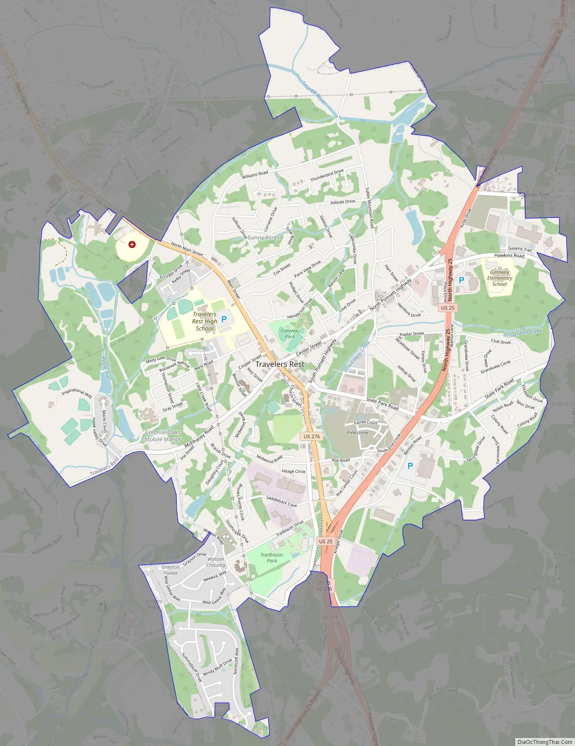
Online Interactive Map
Click on ![]() to view map in "full screen" mode.
to view map in "full screen" mode.
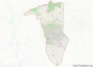
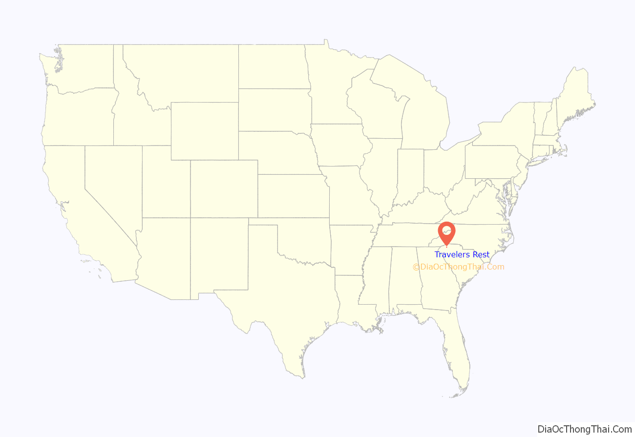
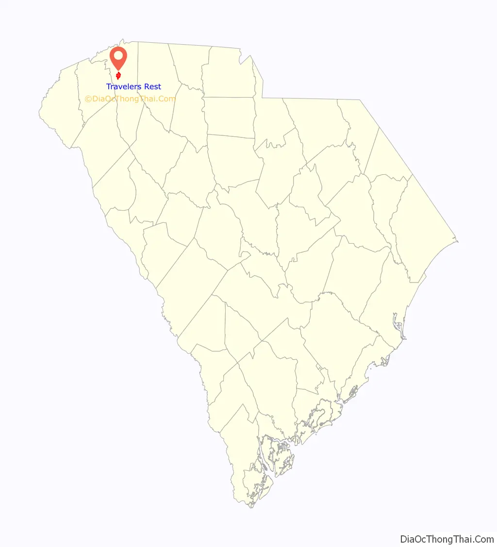
Travelers Rest location map. Where is Travelers Rest city?
History
In 1794, the South Carolina General Assembly appropriated $2,000 to construct a wagon road from Greenville, SC, north into the Blue Ridge Mountains, through Asheville, North Carolina, ending in East Tennessee. This road, once fully completed in the mid-1850’s, was full of wagon traffic. For those going north into the mountains from the coast through Greenville, Travelers Rest was the first well equipped stop to prepare for the several thousand foot climb ahead of them. Travelers Rest was most recently incorporated as a city in 1959, although there was an 1891 incorporation that expired. While unincorporated, most of the area was known as Bates Township during the 19th and early 20th centuries.
The John H. Goodwin House and George Salmon House are listed on the National Register of Historic Places. American Revolutionary heroine Dicey Langston’s home, now site of a historical marker, is located just north of the city proper.
Transportation
U.S. Route 276-N enters connects Downtown Greenville with the city and becomes Travelers Rest’s Main Street before heading northwest past Caesar’s Head State Park, and into North Carolina to Brevard, NC. U.S. Route 25-N, enters the city from West Greenville, then turns north into the Blue Ridge Mountains, connecting to Asheville, NC, 54 miles away.
As of the 2010 census, the city had a total area of 4.6 square miles (11.8 km), of which 0.02 square miles (0.06 km), or 0.54%, were water.
Climate
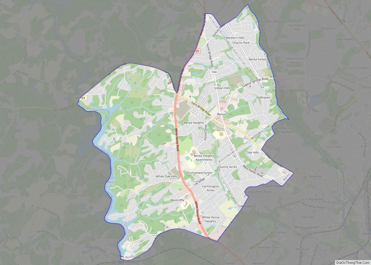
Travelers Rest Road Map
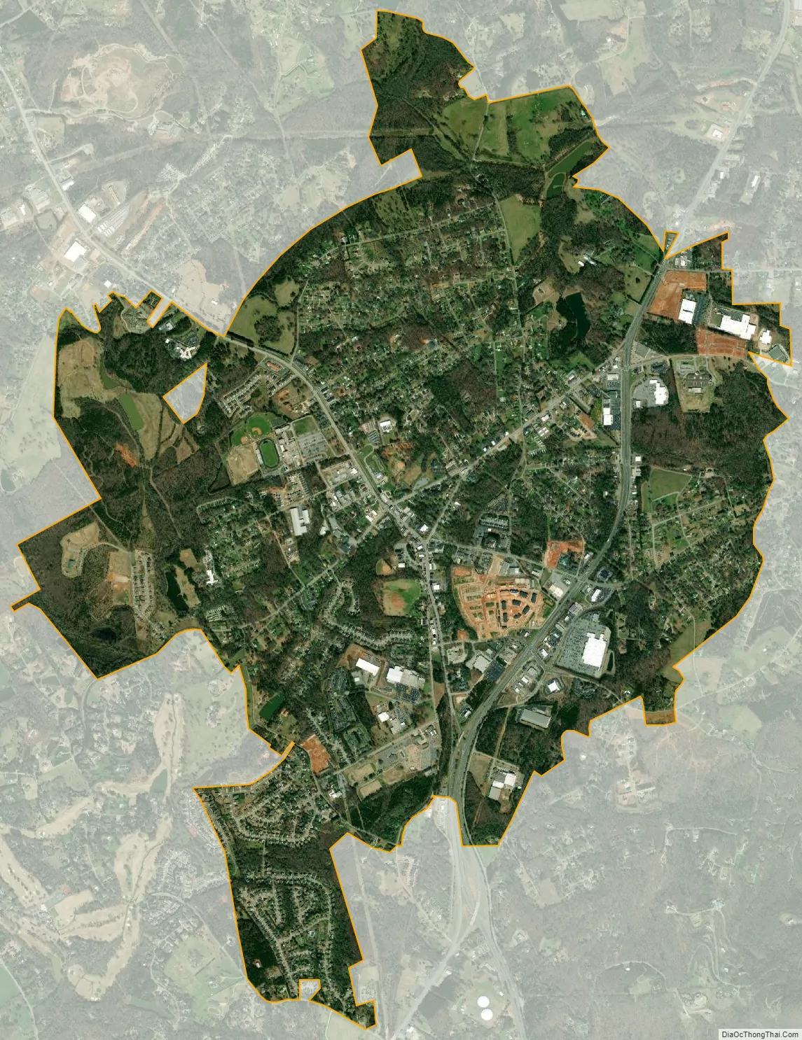
Travelers Rest city Satellite Map
See also
Map of South Carolina State and its subdivision:- Abbeville
- Aiken
- Allendale
- Anderson
- Bamberg
- Barnwell
- Beaufort
- Berkeley
- Calhoun
- Charleston
- Cherokee
- Chester
- Chesterfield
- Clarendon
- Colleton
- Darlington
- Dillon
- Dorchester
- Edgefield
- Fairfield
- Florence
- Georgetown
- Greenville
- Greenwood
- Hampton
- Horry
- Jasper
- Kershaw
- Lancaster
- Laurens
- Lee
- Lexington
- Marion
- Marlboro
- McCormick
- Newberry
- Oconee
- Orangeburg
- Pickens
- Richland
- Saluda
- Spartanburg
- Sumter
- Union
- Williamsburg
- York
- Alabama
- Alaska
- Arizona
- Arkansas
- California
- Colorado
- Connecticut
- Delaware
- District of Columbia
- Florida
- Georgia
- Hawaii
- Idaho
- Illinois
- Indiana
- Iowa
- Kansas
- Kentucky
- Louisiana
- Maine
- Maryland
- Massachusetts
- Michigan
- Minnesota
- Mississippi
- Missouri
- Montana
- Nebraska
- Nevada
- New Hampshire
- New Jersey
- New Mexico
- New York
- North Carolina
- North Dakota
- Ohio
- Oklahoma
- Oregon
- Pennsylvania
- Rhode Island
- South Carolina
- South Dakota
- Tennessee
- Texas
- Utah
- Vermont
- Virginia
- Washington
- West Virginia
- Wisconsin
- Wyoming