Brevard is a city and the county seat of Transylvania County, North Carolina, United States, with a population of 7,609 as of the 2010 Census.
Brevard is located at the entrance to Pisgah National Forest and has become a noted tourism, retirement and cultural center in western North Carolina. A moderate climate, environmental beauty and cultural activities attracts retirees to the area.
Brevard is also known for its white squirrels. There are several theories of how they came to live there, including an overturned carnival truck and an escaped pet breeding with native squirrels.
Along with nearby Asheville and Hendersonville, Brevard forms the Asheville-Brevard, NC CSA combined statistical area.
| Name: | Brevard city |
|---|---|
| LSAD Code: | 25 |
| LSAD Description: | city (suffix) |
| State: | North Carolina |
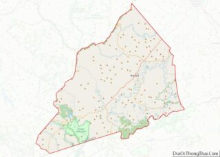
| County: | Transylvania County |
| Founded: | 1861 |
| Incorporated: | 1889 |
| Elevation: | 2,225 ft (678 m) |
| Total Area: | 5.36 sq mi (13.88 km²) |
| Land Area: | 5.36 sq mi (13.87 km²) |
| Water Area: | 0.00 sq mi (0.01 km²) |
| Total Population: | 7,744 |
| Population Density: | 1,445.59/sq mi (558.15/km²) |
| ZIP code: | 28712 |
| Area code: | 828 |
| FIPS code: | 3707720 |
| GNISfeature ID: | 1009587 |
| Website: | www.cityofbrevard.com |
Online Interactive Map
Click on ![]() to view map in "full screen" mode.
to view map in "full screen" mode.
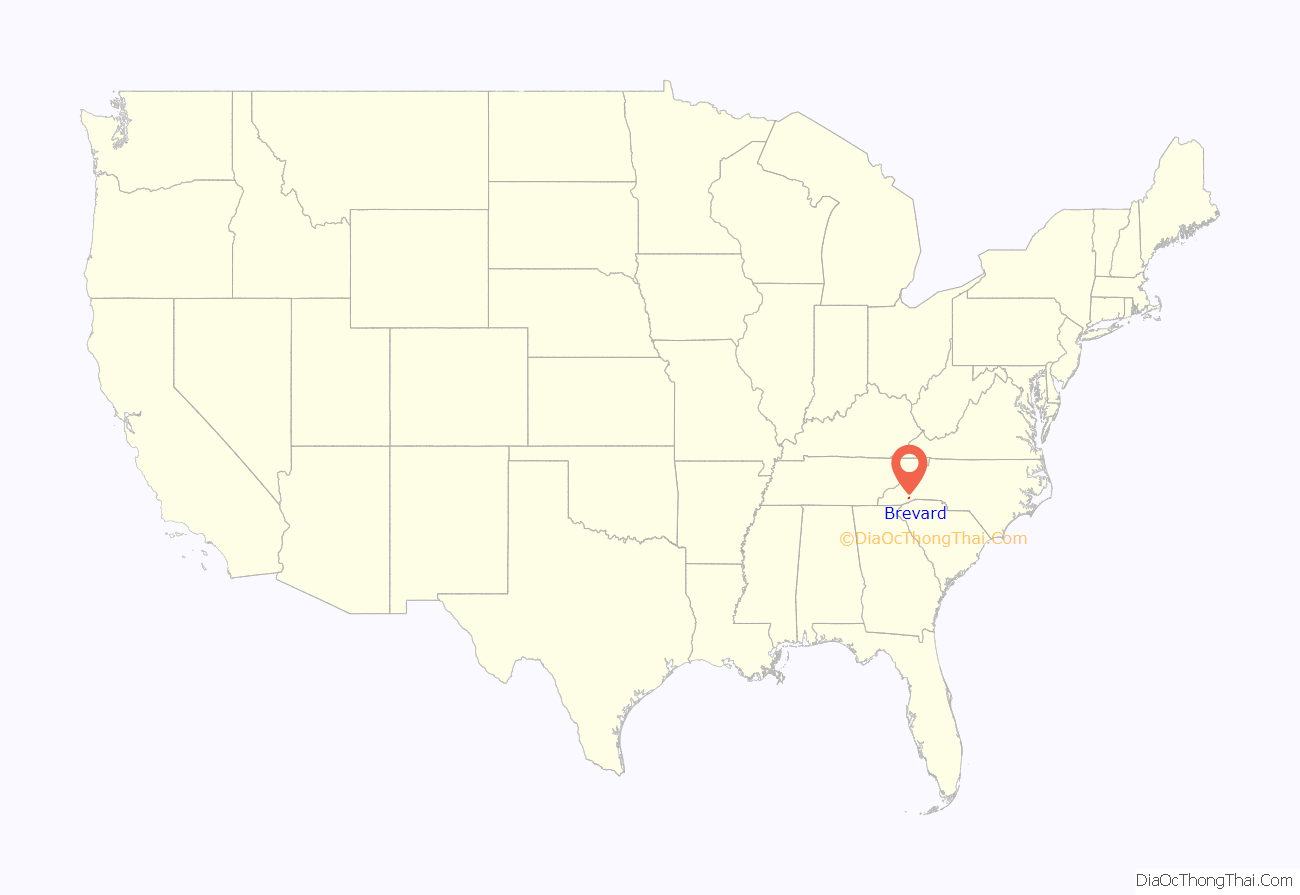
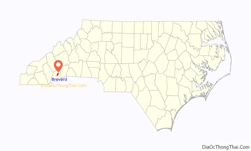
Brevard location map. Where is Brevard city?
History
According to the Transylvania Heritage Museum, the North Carolina General Assembly apportioned Transylvania County on February 15, 1861, from lands previously attributed to neighboring Jackson and Henderson counties. In the county’s creation, a county seat was required to be conveniently accessible to most of the county’s citizens. Its namesake was to honor Colonel Ephraim Brevard, M.D., a reputed Revolutionary War veteran.
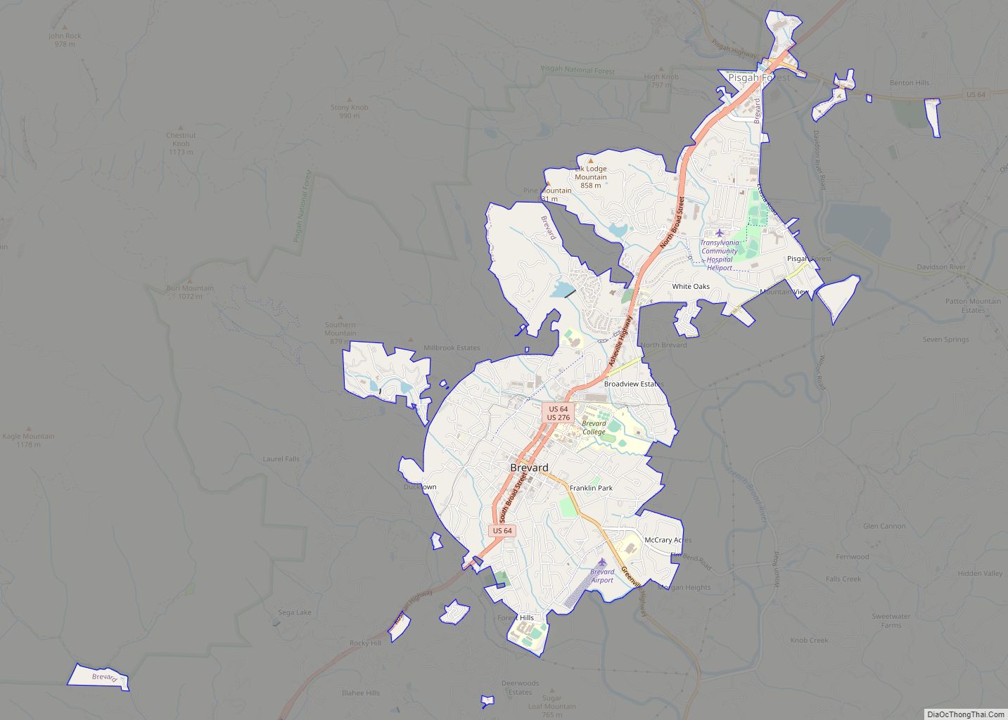
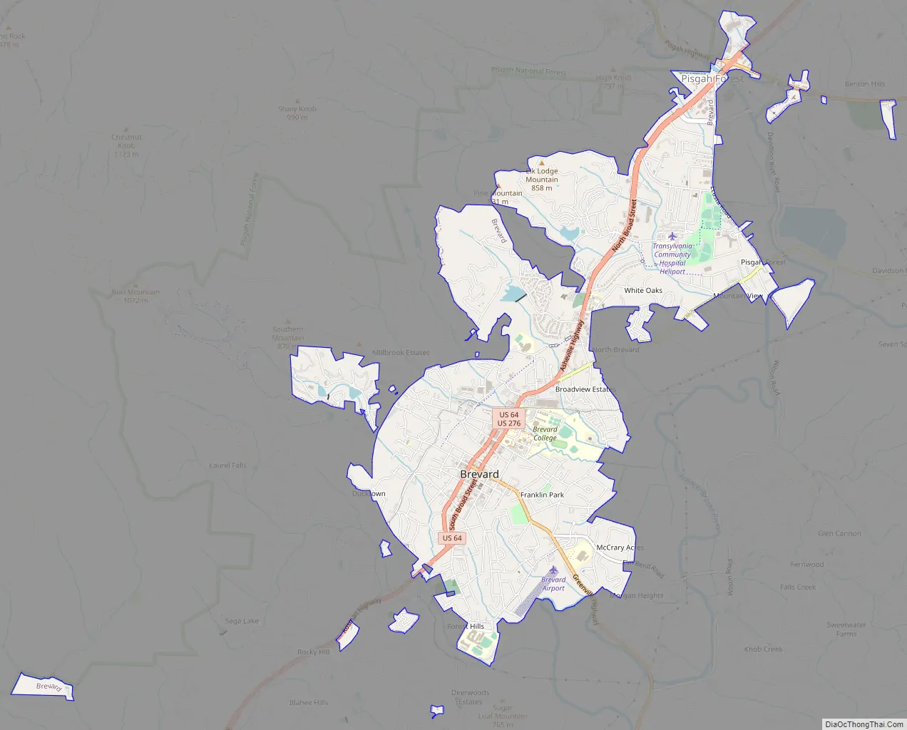
Brevard Road Map
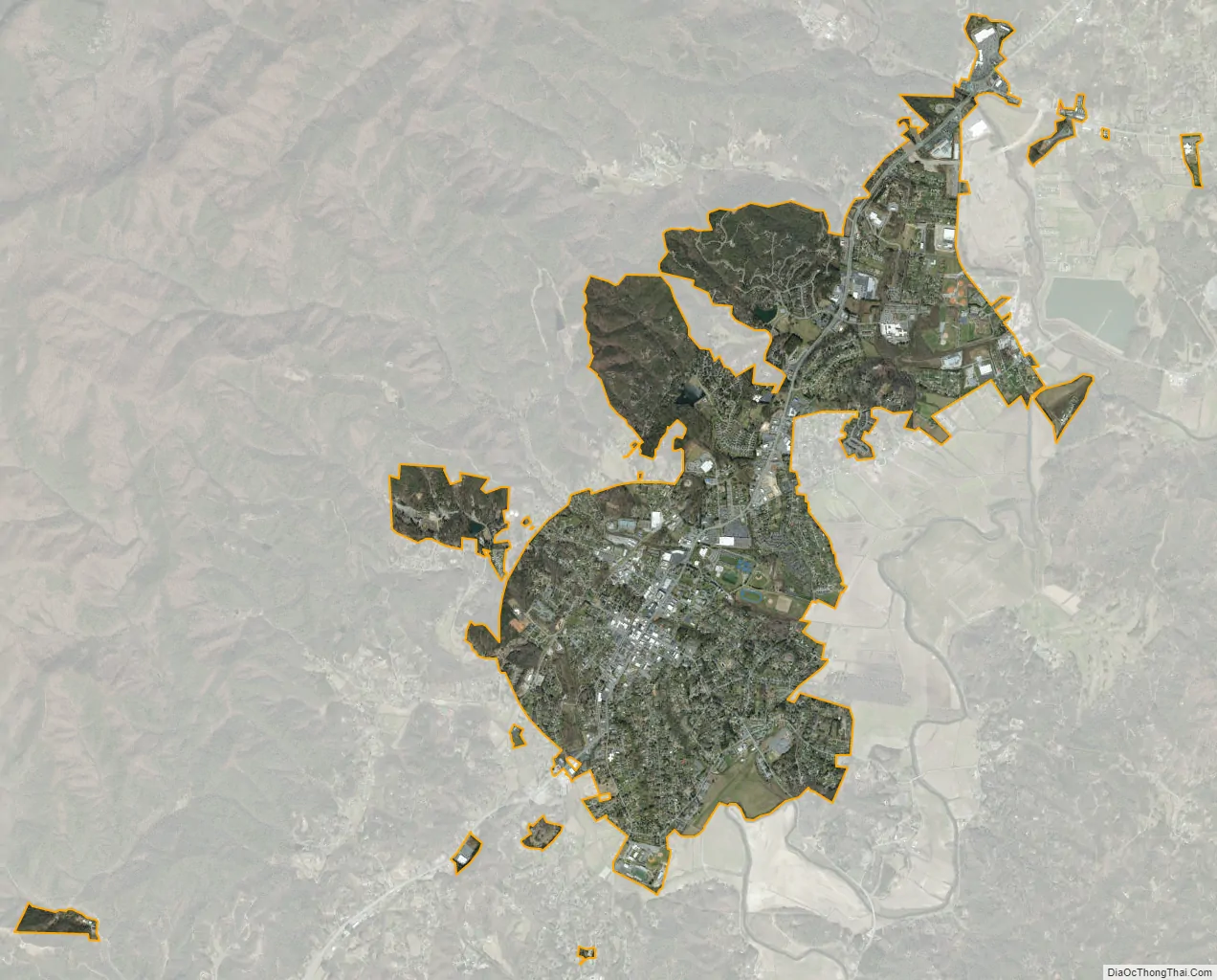
Brevard city Satellite Map
Geography
According to the United States Census Bureau, the city has a total area of 5.12 square miles, of which 0.21% is water.
Climate
Brevard is located in a temperate rainforest and has a climate that borders between a humid subtropical and oceanic climate and receives abundant rainfall year round due to orographic lift due to its location in the Blue Ridge Mountains and the nearby Great Balsam Mountains. It is one of the wettest towns in the US outside of the Pacific Northwest. It is also common for the town to get small amounts of snow in the winter. The town does not have any dry season, but fall gets the least amount of rain of all the seasons.
See also
Map of North Carolina State and its subdivision:- Alamance
- Alexander
- Alleghany
- Anson
- Ashe
- Avery
- Beaufort
- Bertie
- Bladen
- Brunswick
- Buncombe
- Burke
- Cabarrus
- Caldwell
- Camden
- Carteret
- Caswell
- Catawba
- Chatham
- Cherokee
- Chowan
- Clay
- Cleveland
- Columbus
- Craven
- Cumberland
- Currituck
- Dare
- Davidson
- Davie
- Duplin
- Durham
- Edgecombe
- Forsyth
- Franklin
- Gaston
- Gates
- Graham
- Granville
- Greene
- Guilford
- Halifax
- Harnett
- Haywood
- Henderson
- Hertford
- Hoke
- Hyde
- Iredell
- Jackson
- Johnston
- Jones
- Lee
- Lenoir
- Lincoln
- Macon
- Madison
- Martin
- McDowell
- Mecklenburg
- Mitchell
- Montgomery
- Moore
- Nash
- New Hanover
- Northampton
- Onslow
- Orange
- Pamlico
- Pasquotank
- Pender
- Perquimans
- Person
- Pitt
- Polk
- Randolph
- Richmond
- Robeson
- Rockingham
- Rowan
- Rutherford
- Sampson
- Scotland
- Stanly
- Stokes
- Surry
- Swain
- Transylvania
- Tyrrell
- Union
- Vance
- Wake
- Warren
- Washington
- Watauga
- Wayne
- Wilkes
- Wilson
- Yadkin
- Yancey
- Alabama
- Alaska
- Arizona
- Arkansas
- California
- Colorado
- Connecticut
- Delaware
- District of Columbia
- Florida
- Georgia
- Hawaii
- Idaho
- Illinois
- Indiana
- Iowa
- Kansas
- Kentucky
- Louisiana
- Maine
- Maryland
- Massachusetts
- Michigan
- Minnesota
- Mississippi
- Missouri
- Montana
- Nebraska
- Nevada
- New Hampshire
- New Jersey
- New Mexico
- New York
- North Carolina
- North Dakota
- Ohio
- Oklahoma
- Oregon
- Pennsylvania
- Rhode Island
- South Carolina
- South Dakota
- Tennessee
- Texas
- Utah
- Vermont
- Virginia
- Washington
- West Virginia
- Wisconsin
- Wyoming