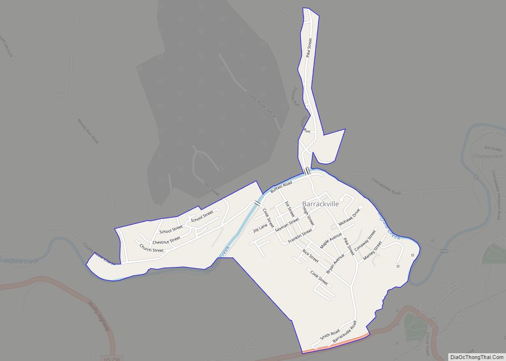
Barrackville is a town in Marion County, West Virginia, United States. The population was 1,211 at the 2020 census.
Barrackville was settled beginning in 1767 by William Galloway “Indian Billy” Ice. The town was named in honor of John Barrack, an early settler. It was incorporated January 25, 1968.
| Name: | Barrackville town |
|---|---|
| LSAD Code: | 43 |
| LSAD Description: | town (suffix) |
| State: | West Virginia |
| County: | Marion County |
| Elevation: | 945 ft (288 m) |
| Total Area: | 0.71 sq mi (1.83 km²) |
| Land Area: | 0.69 sq mi (1.79 km²) |
| Water Area: | 0.02 sq mi (0.05 km²) |
| Total Population: | 1,211 |
| Population Density: | 1,856.31/sq mi (716.25/km²) |
| ZIP code: | 26559 |
| Area code: | 304 |
| FIPS code: | 5404612 |
| GNISfeature ID: | 1553805 |
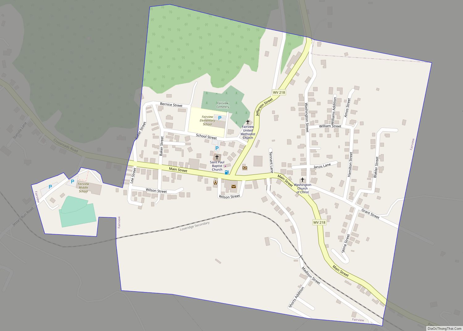
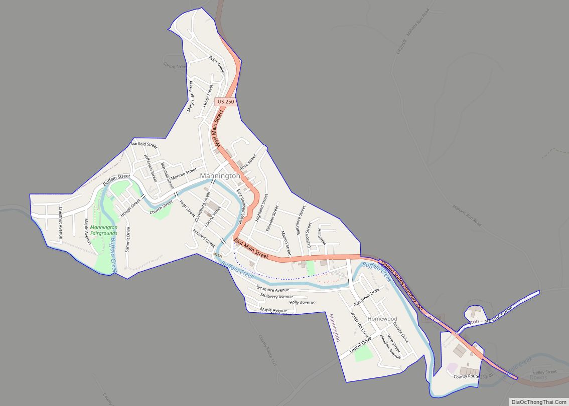
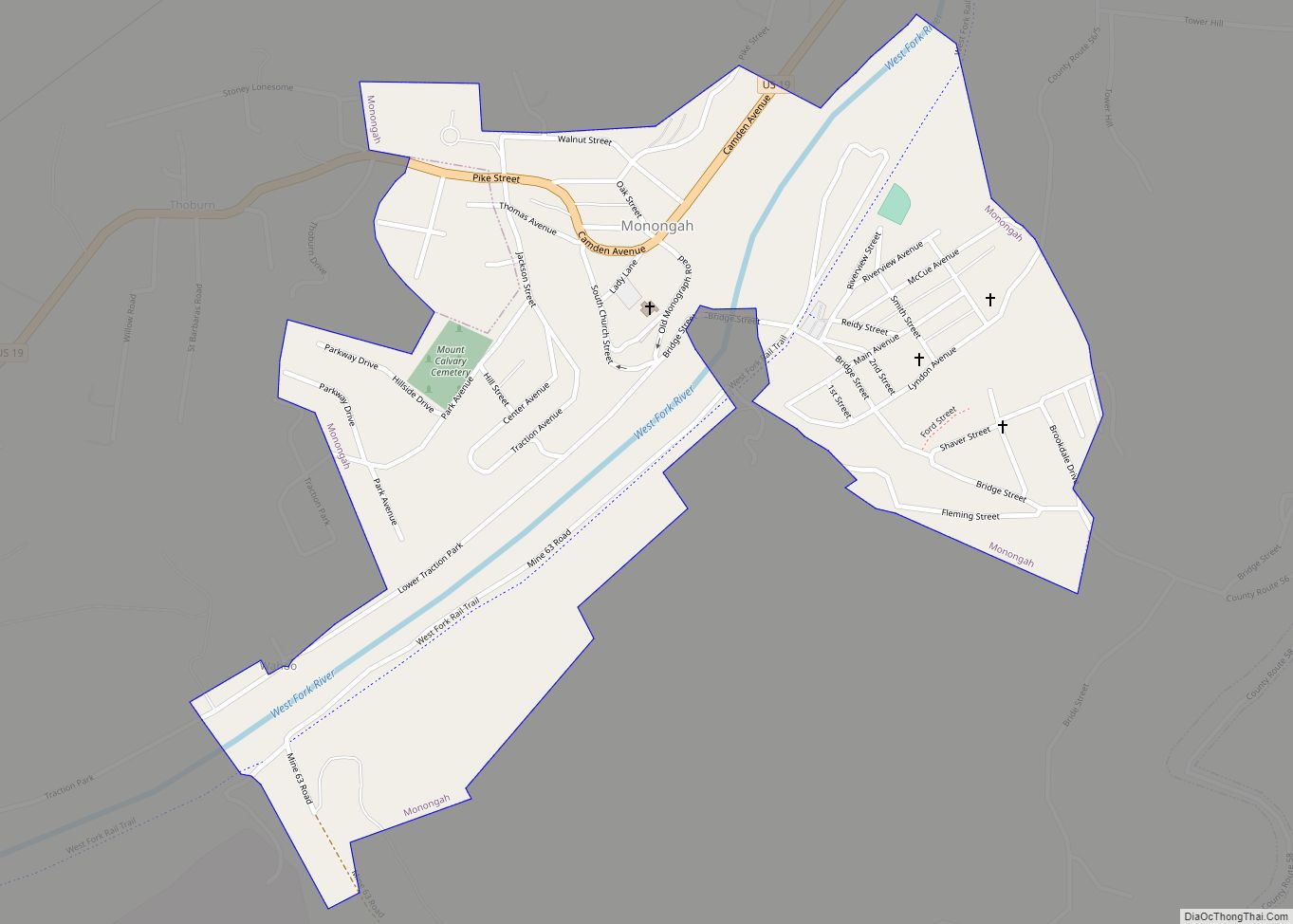
Online Interactive Map
Click on ![]() to view map in "full screen" mode.
to view map in "full screen" mode.
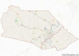
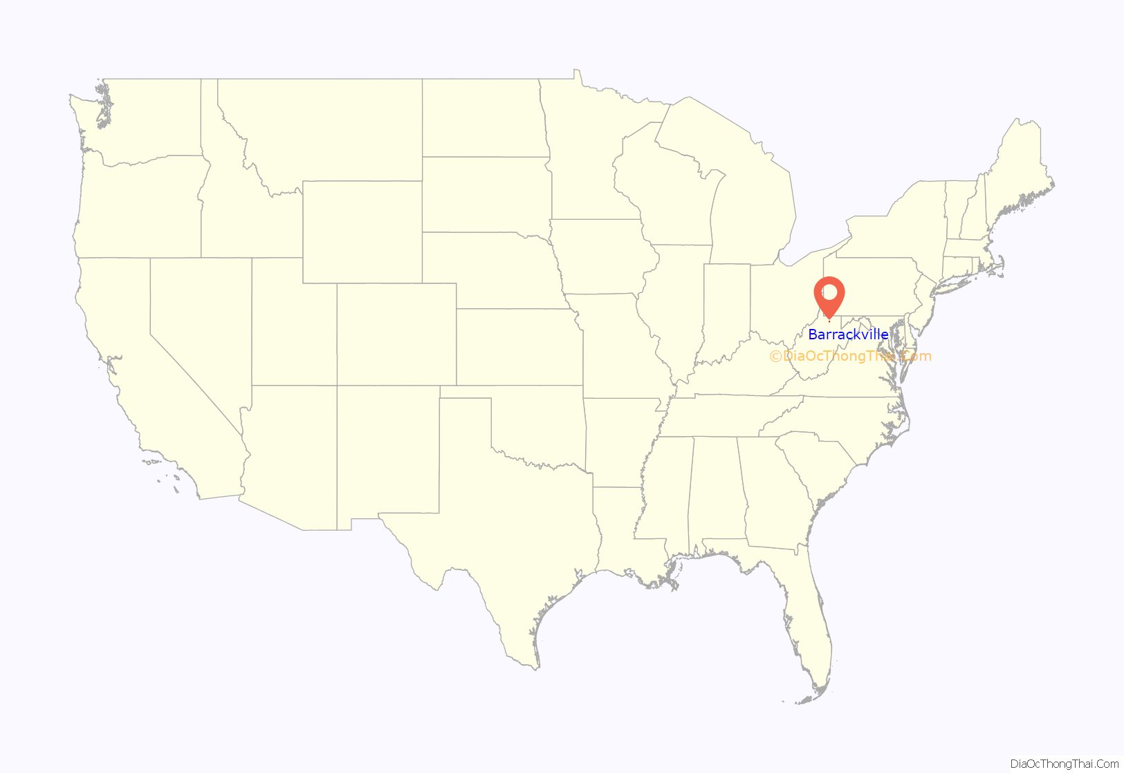
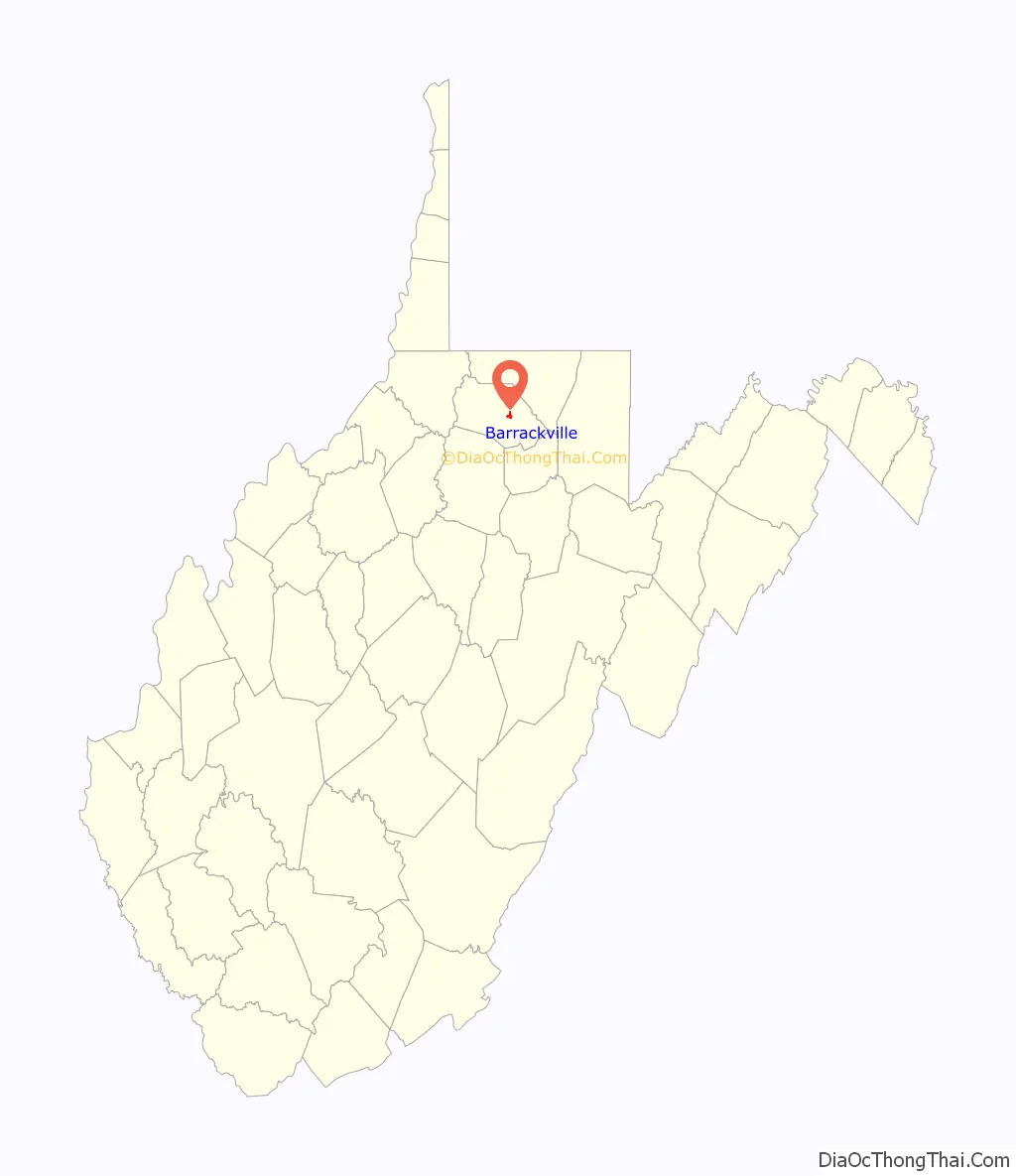
Barrackville location map. Where is Barrackville town?
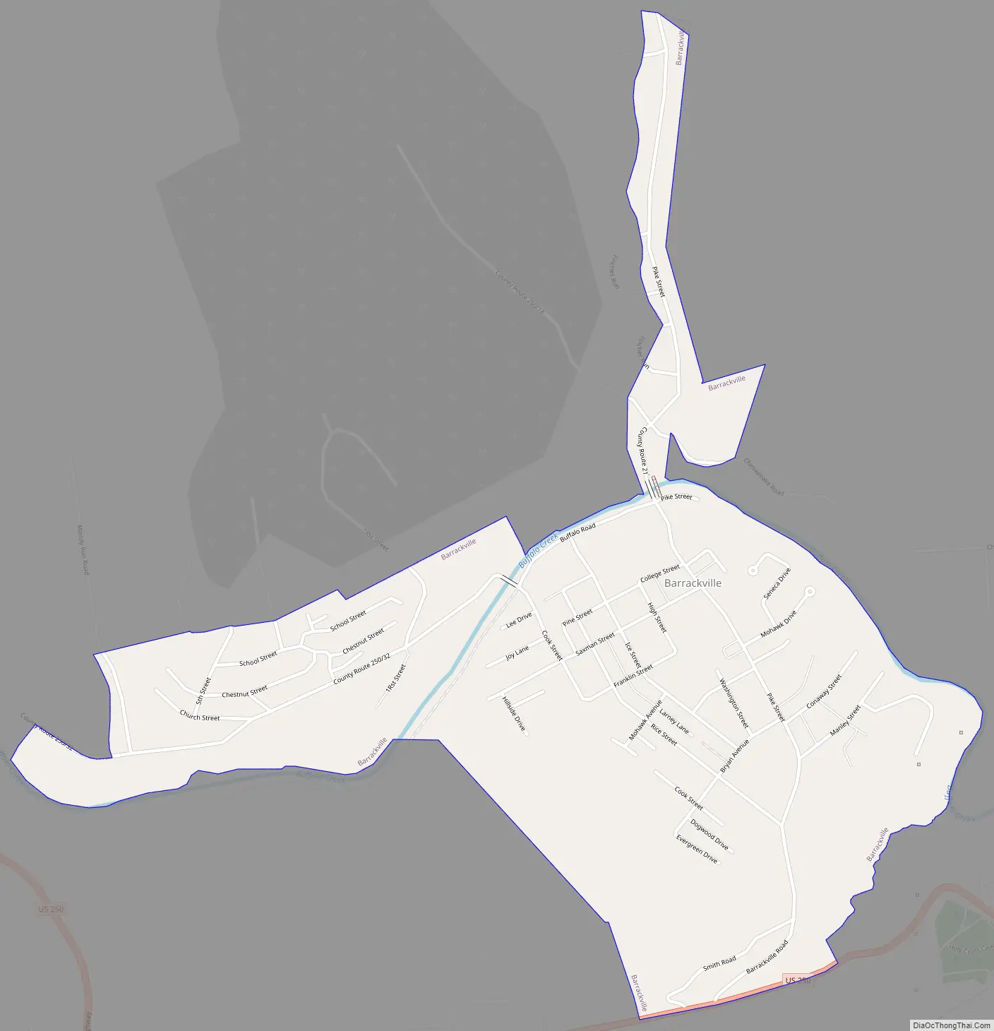
Barrackville Road Map
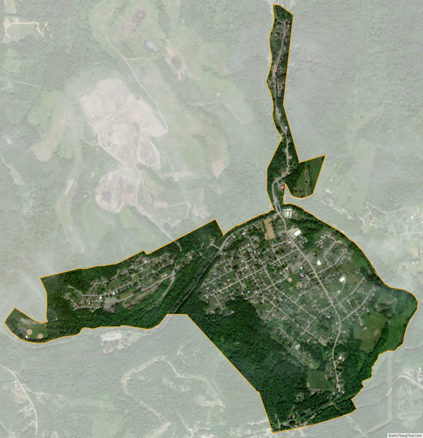
Barrackville city Satellite Map
Geography
Barrackville is located at 39°30′10″N 80°10′11″W / 39.50278°N 80.16972°W / 39.50278; -80.16972 (39.502741, -80.169713), along Buffalo Creek.
According to the United States Census Bureau, the town has a total area of 0.71 square miles (1.84 km), of which 0.69 square miles (1.79 km) is land and 0.02 square miles (0.05 km) is water.
See also
Map of West Virginia State and its subdivision:- Barbour
- Berkeley
- Boone
- Braxton
- Brooke
- Cabell
- Calhoun
- Clay
- Doddridge
- Fayette
- Gilmer
- Grant
- Greenbrier
- Hampshire
- Hancock
- Hardy
- Harrison
- Jackson
- Jefferson
- Kanawha
- Lewis
- Lincoln
- Logan
- Marion
- Marshall
- Mason
- McDowell
- Mercer
- Mineral
- Mingo
- Monongalia
- Monroe
- Morgan
- Nicholas
- Ohio
- Pendleton
- Pleasants
- Pocahontas
- Preston
- Putnam
- Raleigh
- Randolph
- Ritchie
- Roane
- Summers
- Taylor
- Tucker
- Tyler
- Upshur
- Wayne
- Webster
- Wetzel
- Wirt
- Wood
- Wyoming
- Alabama
- Alaska
- Arizona
- Arkansas
- California
- Colorado
- Connecticut
- Delaware
- District of Columbia
- Florida
- Georgia
- Hawaii
- Idaho
- Illinois
- Indiana
- Iowa
- Kansas
- Kentucky
- Louisiana
- Maine
- Maryland
- Massachusetts
- Michigan
- Minnesota
- Mississippi
- Missouri
- Montana
- Nebraska
- Nevada
- New Hampshire
- New Jersey
- New Mexico
- New York
- North Carolina
- North Dakota
- Ohio
- Oklahoma
- Oregon
- Pennsylvania
- Rhode Island
- South Carolina
- South Dakota
- Tennessee
- Texas
- Utah
- Vermont
- Virginia
- Washington
- West Virginia
- Wisconsin
- Wyoming