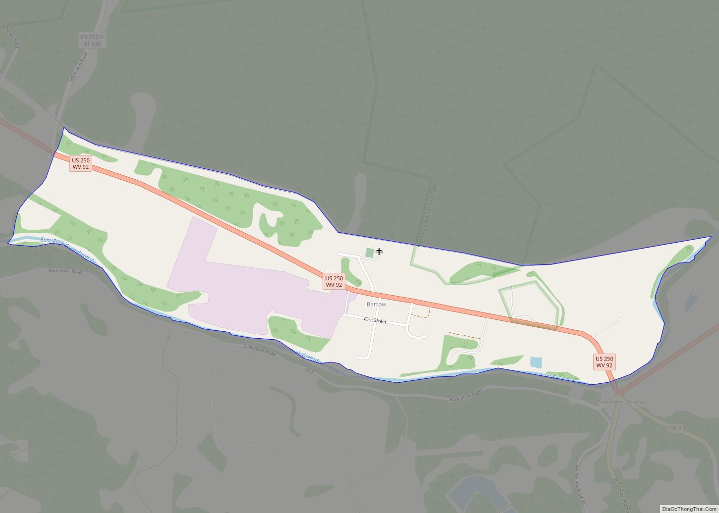
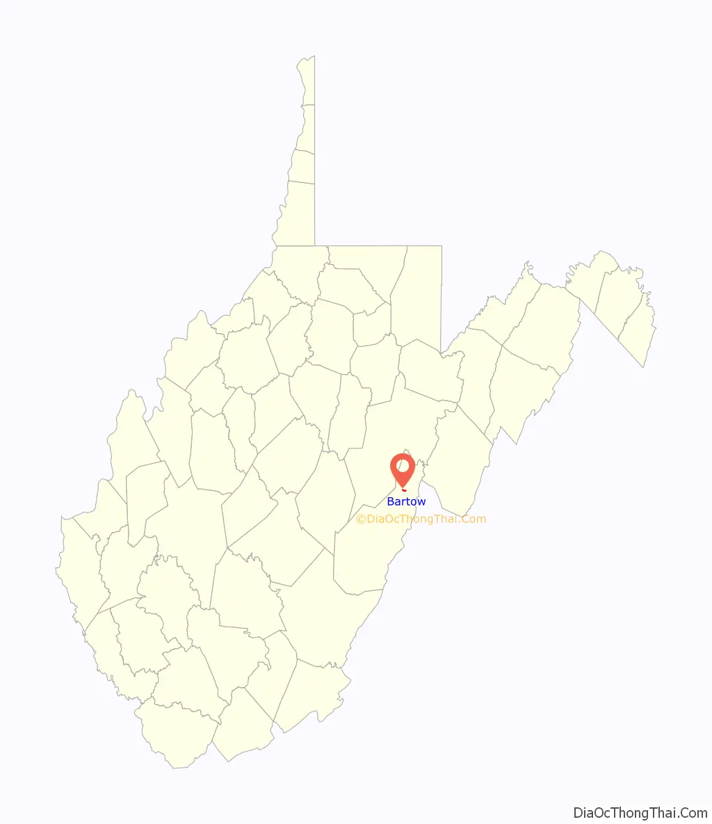
Bartow is a census-designated place (CDP) in Pocahontas County, West Virginia, United States. The population was 111 at the 2010 census.
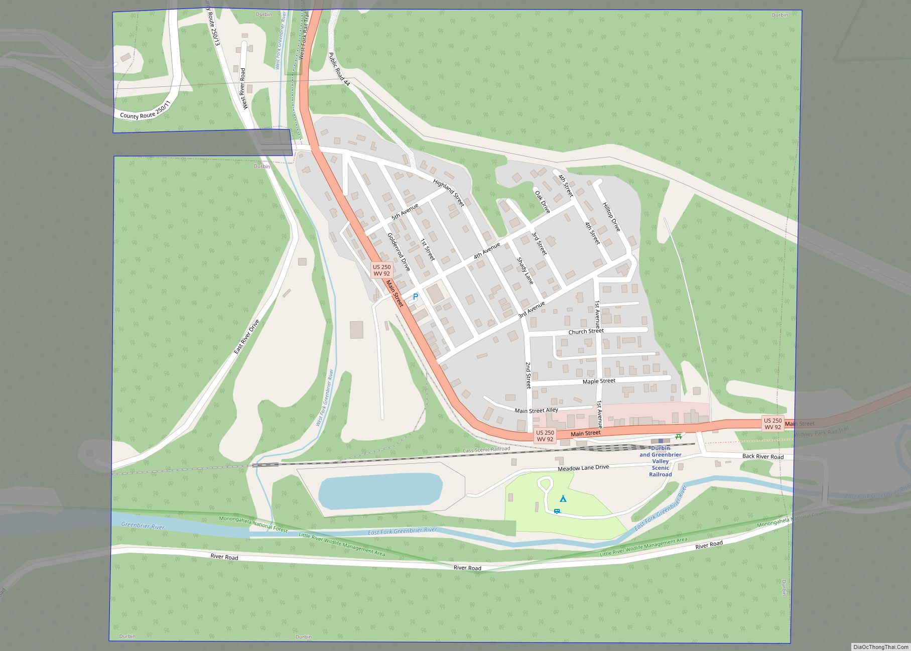
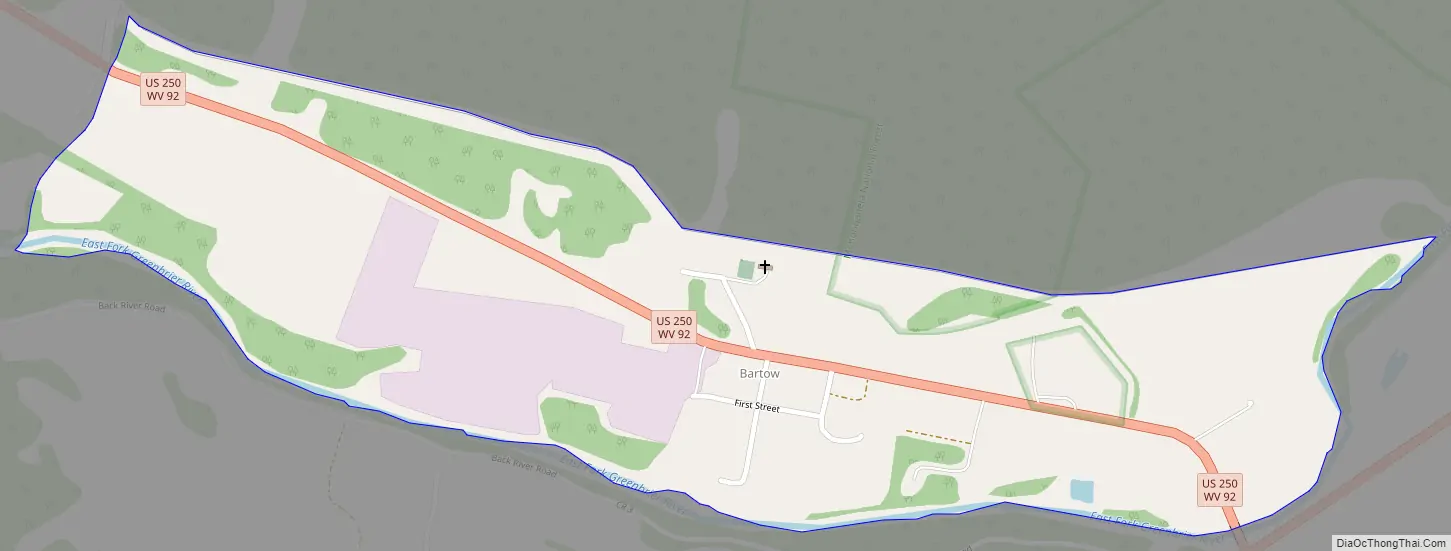
Bartow is situated along U.S. Route 250 and West Virginia Route 92 and on the East Fork Greenbrier River, approximately 2 miles (3.2 km) east of Durbin. It has a post office with ZIP code 24920.
Bartow is named for Col. Francis S. Bartow, a Confederate commander who died at the Battle of First Manassas on July 21, 1861. The Battle of Greenbrier River, also known as the Battle of Camp Bartow, took place on October 3, 1861 about one mile (1.6 km) southeast of the present town.
The Camp Bartow Historic District was listed on the National Register of Historic Places in 1995. Located near Bartow is the Camp Allegheny Historic District, listed in 1990.
| Name: | Bartow CDP |
|---|---|
| LSAD Code: | 57 |
| LSAD Description: | CDP (suffix) |
| State: | West Virginia |
| County: | Pocahontas County |
| Elevation: | 2,769 ft (844 m) |
| Total Area: | 0.464 sq mi (1.20 km²) |
| Land Area: | 0.464 sq mi (1.20 km²) |
| Water Area: | 0 sq mi (0 km²) |
| Total Population: | 111 |
| Population Density: | 240/sq mi (92/km²) |
| ZIP code: | 24920 |
| FIPS code: | 5404780 |
| GNISfeature ID: | 1550176 |
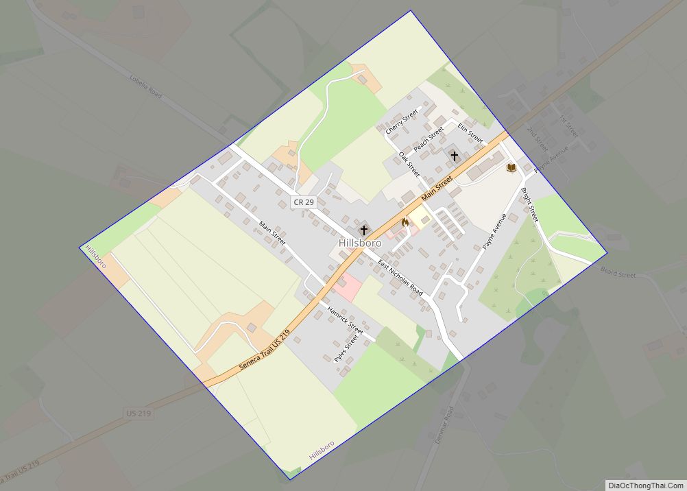
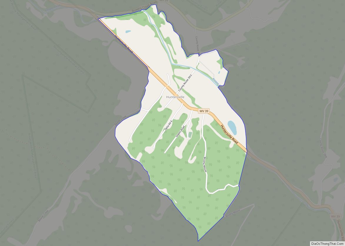
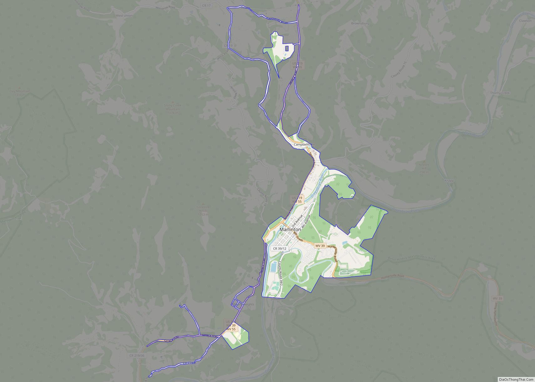
Online Interactive Map
Click on ![]() to view map in "full screen" mode.
to view map in "full screen" mode.
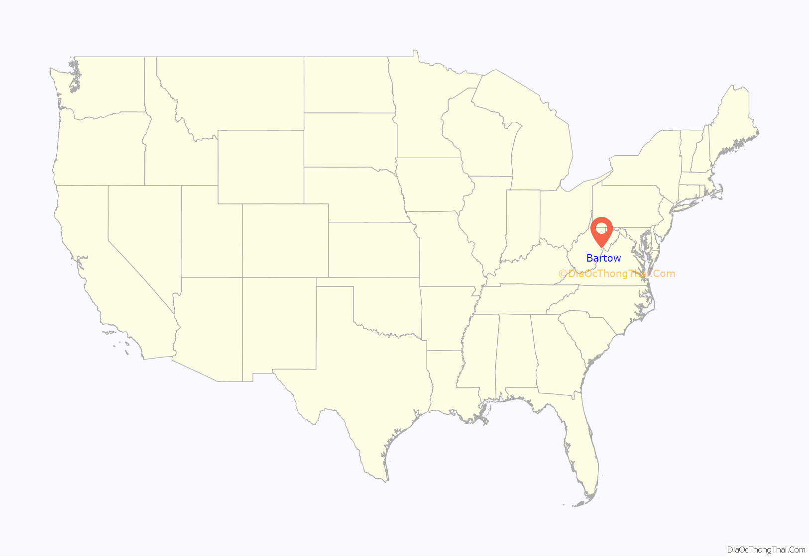
Bartow location map. Where is Bartow CDP?
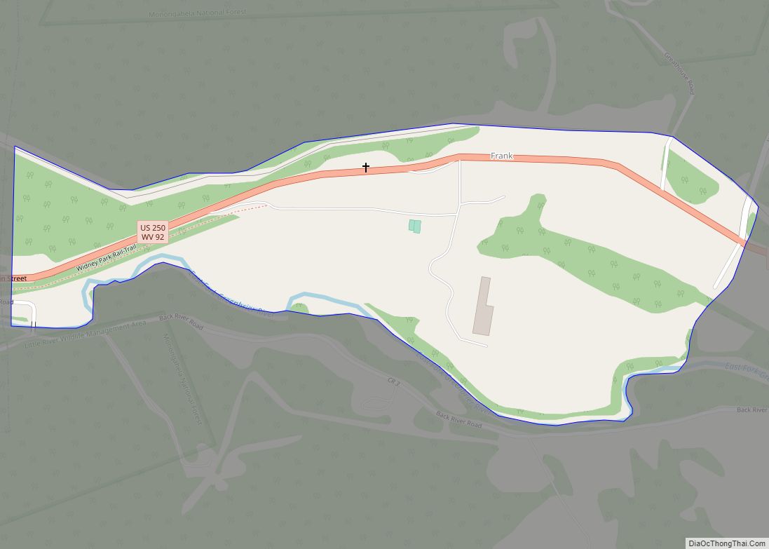
Bartow Road Map
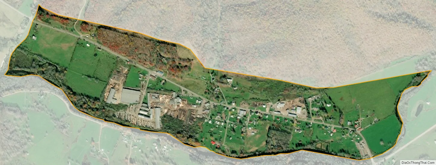
Bartow city Satellite Map
See also
Map of West Virginia State and its subdivision:- Barbour
- Berkeley
- Boone
- Braxton
- Brooke
- Cabell
- Calhoun
- Clay
- Doddridge
- Fayette
- Gilmer
- Grant
- Greenbrier
- Hampshire
- Hancock
- Hardy
- Harrison
- Jackson
- Jefferson
- Kanawha
- Lewis
- Lincoln
- Logan
- Marion
- Marshall
- Mason
- McDowell
- Mercer
- Mineral
- Mingo
- Monongalia
- Monroe
- Morgan
- Nicholas
- Ohio
- Pendleton
- Pleasants
- Pocahontas
- Preston
- Putnam
- Raleigh
- Randolph
- Ritchie
- Roane
- Summers
- Taylor
- Tucker
- Tyler
- Upshur
- Wayne
- Webster
- Wetzel
- Wirt
- Wood
- Wyoming
- Alabama
- Alaska
- Arizona
- Arkansas
- California
- Colorado
- Connecticut
- Delaware
- District of Columbia
- Florida
- Georgia
- Hawaii
- Idaho
- Illinois
- Indiana
- Iowa
- Kansas
- Kentucky
- Louisiana
- Maine
- Maryland
- Massachusetts
- Michigan
- Minnesota
- Mississippi
- Missouri
- Montana
- Nebraska
- Nevada
- New Hampshire
- New Jersey
- New Mexico
- New York
- North Carolina
- North Dakota
- Ohio
- Oklahoma
- Oregon
- Pennsylvania
- Rhode Island
- South Carolina
- South Dakota
- Tennessee
- Texas
- Utah
- Vermont
- Virginia
- Washington
- West Virginia
- Wisconsin
- Wyoming