Beards Fork is a census-designated place (CDP) and coal town in Fayette County, West Virginia, United States that was founded as a coal town. As of the 2010 census, its population was 199.
| Name: | Beards Fork CDP |
|---|---|
| LSAD Code: | 57 |
| LSAD Description: | CDP (suffix) |
| State: | West Virginia |
| County: | Fayette County |
| Elevation: | 1,253 ft (382 m) |
| Total Area: | 1.684 sq mi (4.36 km²) |
| Land Area: | 1.682 sq mi (4.36 km²) |
| Water Area: | 0.002 sq mi (0.005 km²) |
| Total Population: | 199 |
| Population Density: | 120/sq mi (46/km²) |
| ZIP code: | 25014 |
| Area code: | 304 |
| FIPS code: | 5405068 |
| GNISfeature ID: | 1553820 |
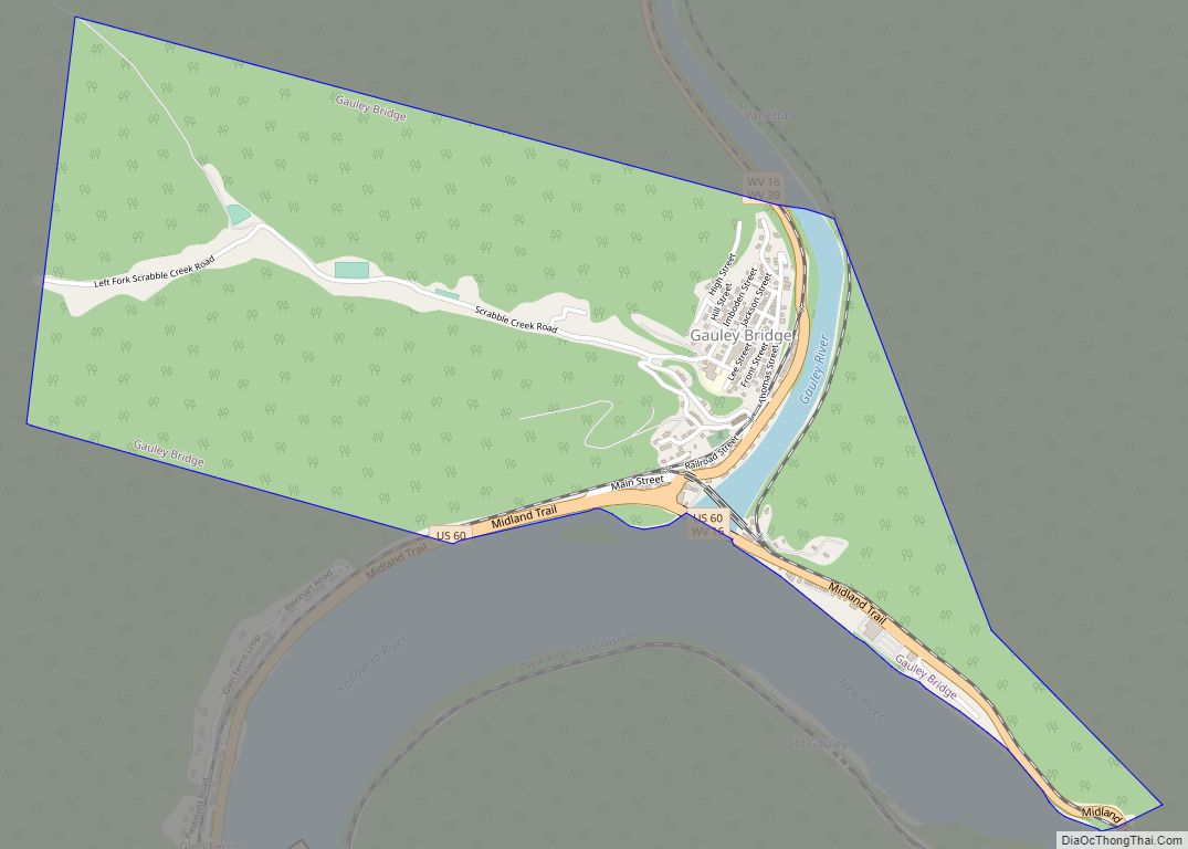
Online Interactive Map
Click on ![]() to view map in "full screen" mode.
to view map in "full screen" mode.
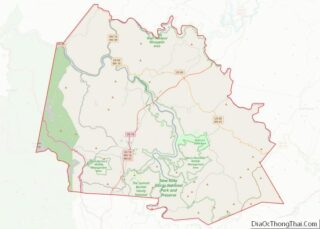
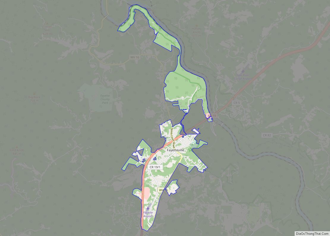
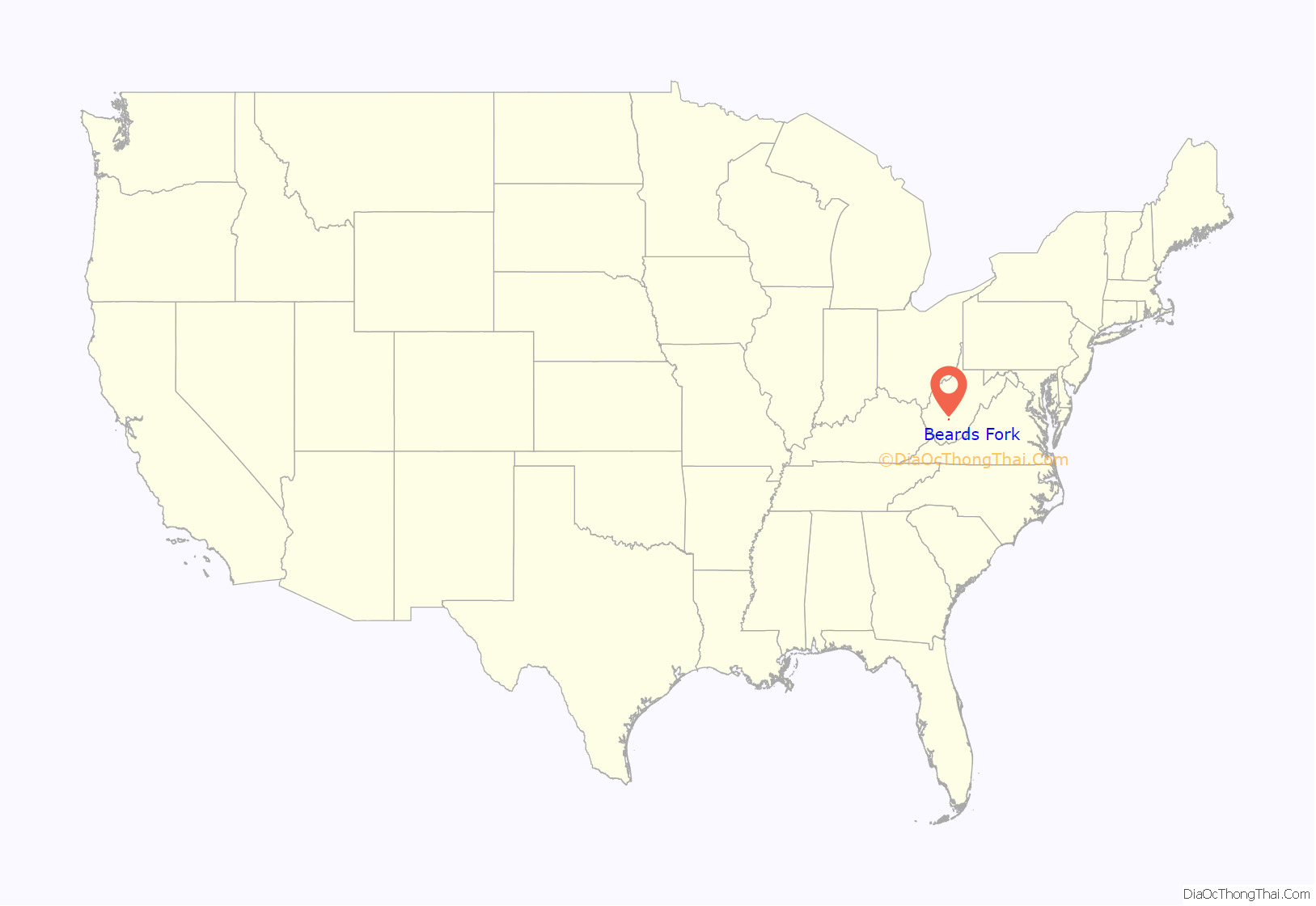
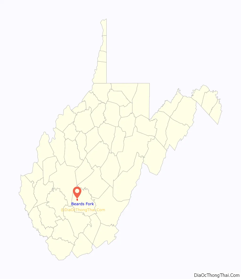
Beards Fork location map. Where is Beards Fork CDP?
History
The community takes its name from nearby Beards Fork creek.
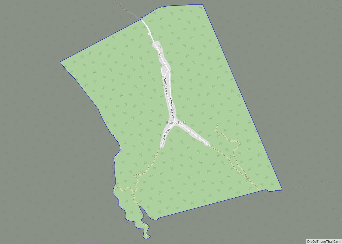
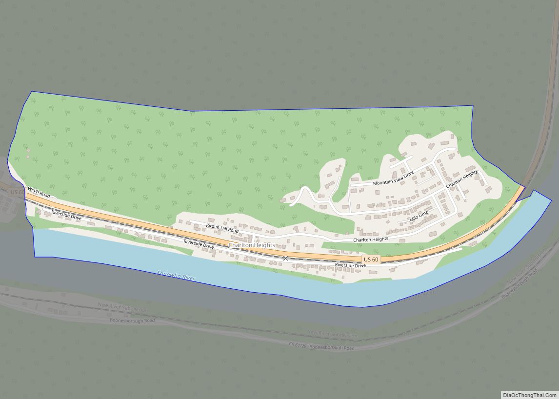
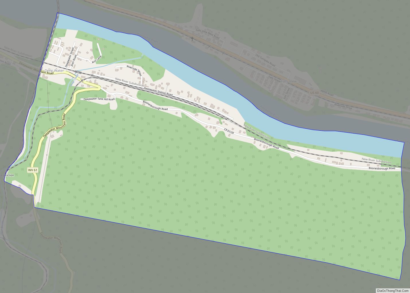
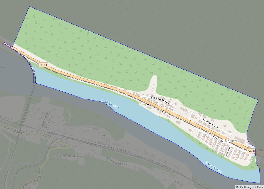
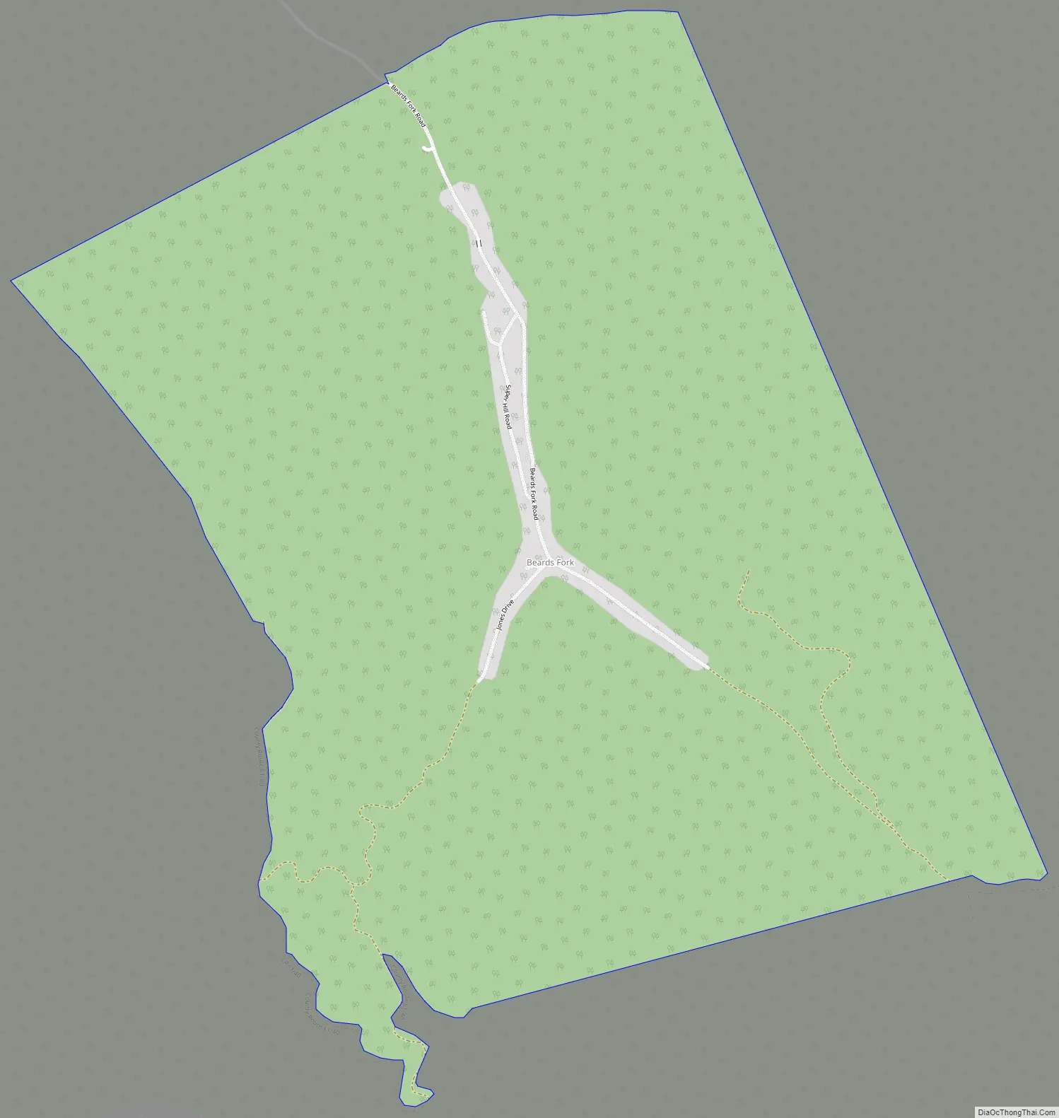
Beards Fork Road Map
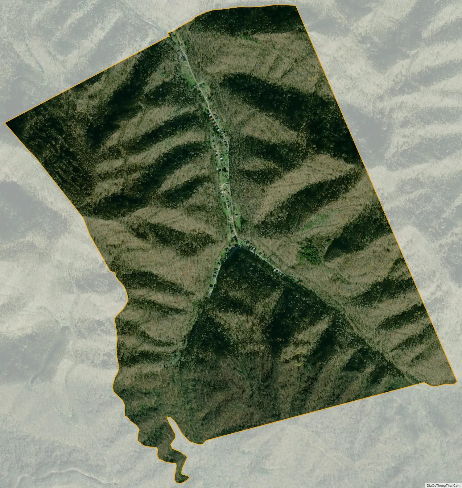
Beards Fork city Satellite Map
Geography
Beards Fork is located at 38°03′49″N 81°13′38″W / 38.063720°N 81.227329°W / 38.063720; -81.227329 (38.063720, -81.227329). Its elevation is 1,253 feet (382 m).
Beards Fork is situated between two mountain ridges in central Fayette County, and is closest to the unincorporated town of Robson. The Post Office in Robson handles the mail for Beards Fork.
See also
Map of West Virginia State and its subdivision:- Barbour
- Berkeley
- Boone
- Braxton
- Brooke
- Cabell
- Calhoun
- Clay
- Doddridge
- Fayette
- Gilmer
- Grant
- Greenbrier
- Hampshire
- Hancock
- Hardy
- Harrison
- Jackson
- Jefferson
- Kanawha
- Lewis
- Lincoln
- Logan
- Marion
- Marshall
- Mason
- McDowell
- Mercer
- Mineral
- Mingo
- Monongalia
- Monroe
- Morgan
- Nicholas
- Ohio
- Pendleton
- Pleasants
- Pocahontas
- Preston
- Putnam
- Raleigh
- Randolph
- Ritchie
- Roane
- Summers
- Taylor
- Tucker
- Tyler
- Upshur
- Wayne
- Webster
- Wetzel
- Wirt
- Wood
- Wyoming
- Alabama
- Alaska
- Arizona
- Arkansas
- California
- Colorado
- Connecticut
- Delaware
- District of Columbia
- Florida
- Georgia
- Hawaii
- Idaho
- Illinois
- Indiana
- Iowa
- Kansas
- Kentucky
- Louisiana
- Maine
- Maryland
- Massachusetts
- Michigan
- Minnesota
- Mississippi
- Missouri
- Montana
- Nebraska
- Nevada
- New Hampshire
- New Jersey
- New Mexico
- New York
- North Carolina
- North Dakota
- Ohio
- Oklahoma
- Oregon
- Pennsylvania
- Rhode Island
- South Carolina
- South Dakota
- Tennessee
- Texas
- Utah
- Vermont
- Virginia
- Washington
- West Virginia
- Wisconsin
- Wyoming