Blacksville is a Incorporated Town in Monongalia County, West Virginia, United States. The population was 118 at the 2020 census. It is included in the Morgantown, West Virginia Metropolitan Statistical Area.
The Town of Blacksville has a C1 Census Class Code which indicates an active incorporated place that does not serve as a county subdivision equivalent. It also has a Functional Status Code of “A” which identifies an active government providing primary general-purpose functions.
| Name: | Blacksville town |
|---|---|
| LSAD Code: | 43 |
| LSAD Description: | town (suffix) |
| State: | West Virginia |
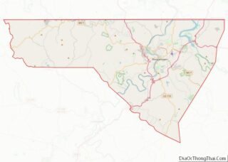
| County: | Monongalia County |
| Elevation: | 984 ft (300 m) |
| Total Area: | 0.31 sq mi (0.80 km²) |
| Land Area: | 0.30 sq mi (0.78 km²) |
| Water Area: | 0.01 sq mi (0.02 km²) |
| Total Population: | 118 |
| Population Density: | 602.01/sq mi (232.11/km²) |
| ZIP code: | 26521 |
| Area code: | 304 |
| FIPS code: | 5408092 |
| GNISfeature ID: | 1553918 |
Online Interactive Map
Click on ![]() to view map in "full screen" mode.
to view map in "full screen" mode.
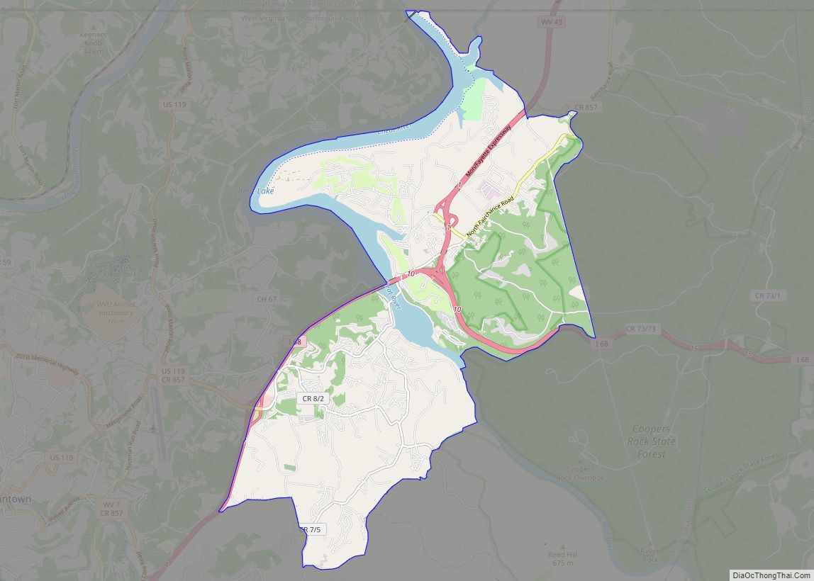
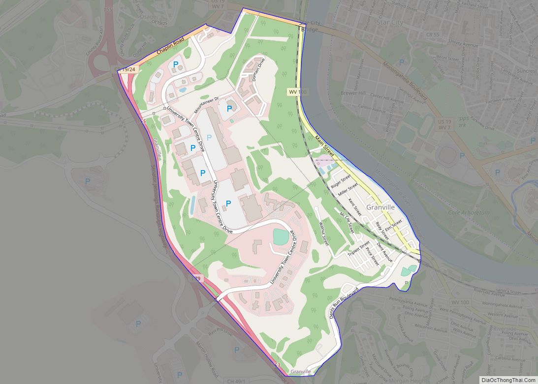
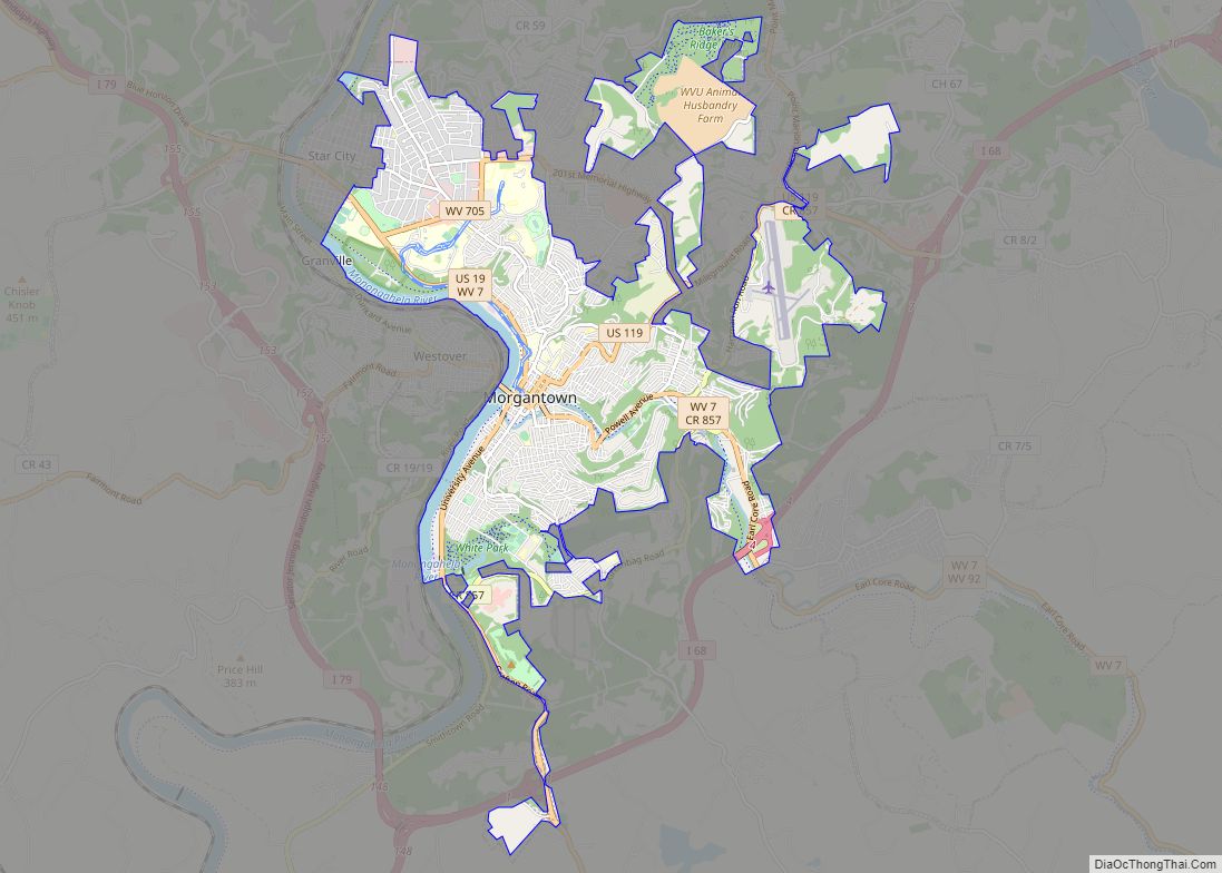
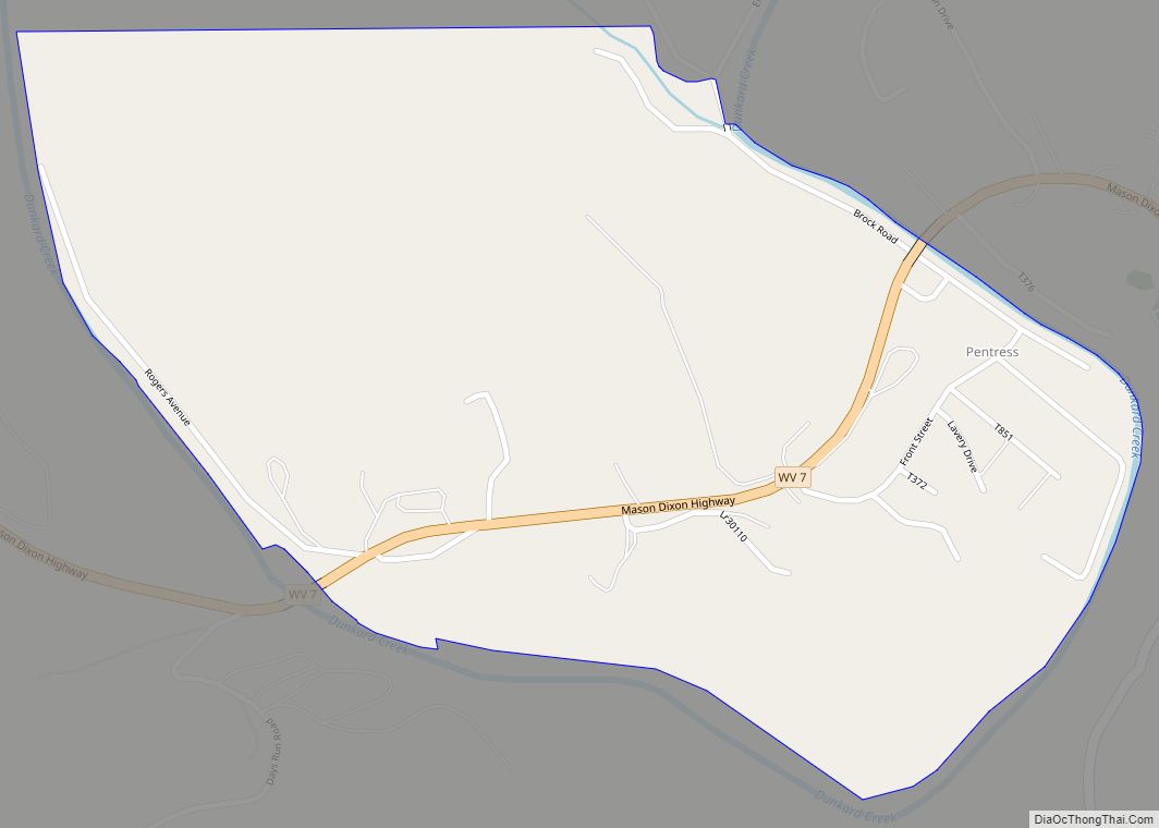
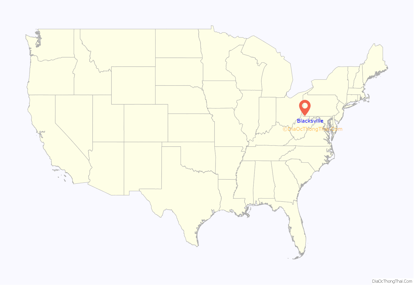
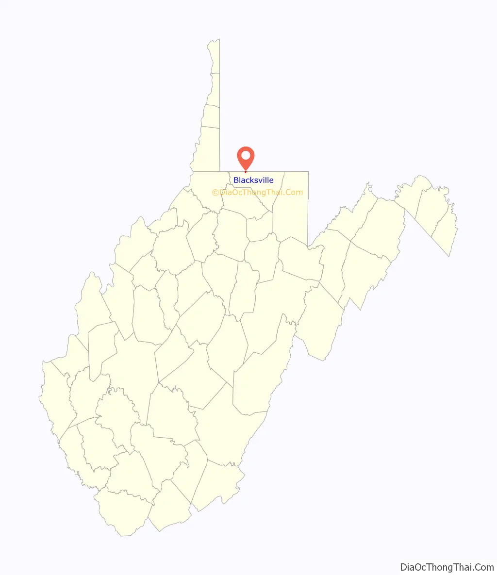
Blacksville location map. Where is Blacksville town?
History
The Town is named after David Black. A civil engineer from Virginia who came to the area in 1800. Black was eventually was able to secure 100 acres of land from Brice Worley for $50. Black then requested a patent in the summer of 1829, to lay out 160 acres of his land and sell plots in a move similar to creating a subdivision today. On February 3, 1830 the General Assembly of Virginia passed an act, establishing the town as a Municipal Corporation and naming it Blacksville. During the American Civil War, Blacksville became an unincorporated community on June 20, 1863. With the creation of the U.S. State of West Virginia. The West Virginia Legislature then re-incorporated the town in October 1897.
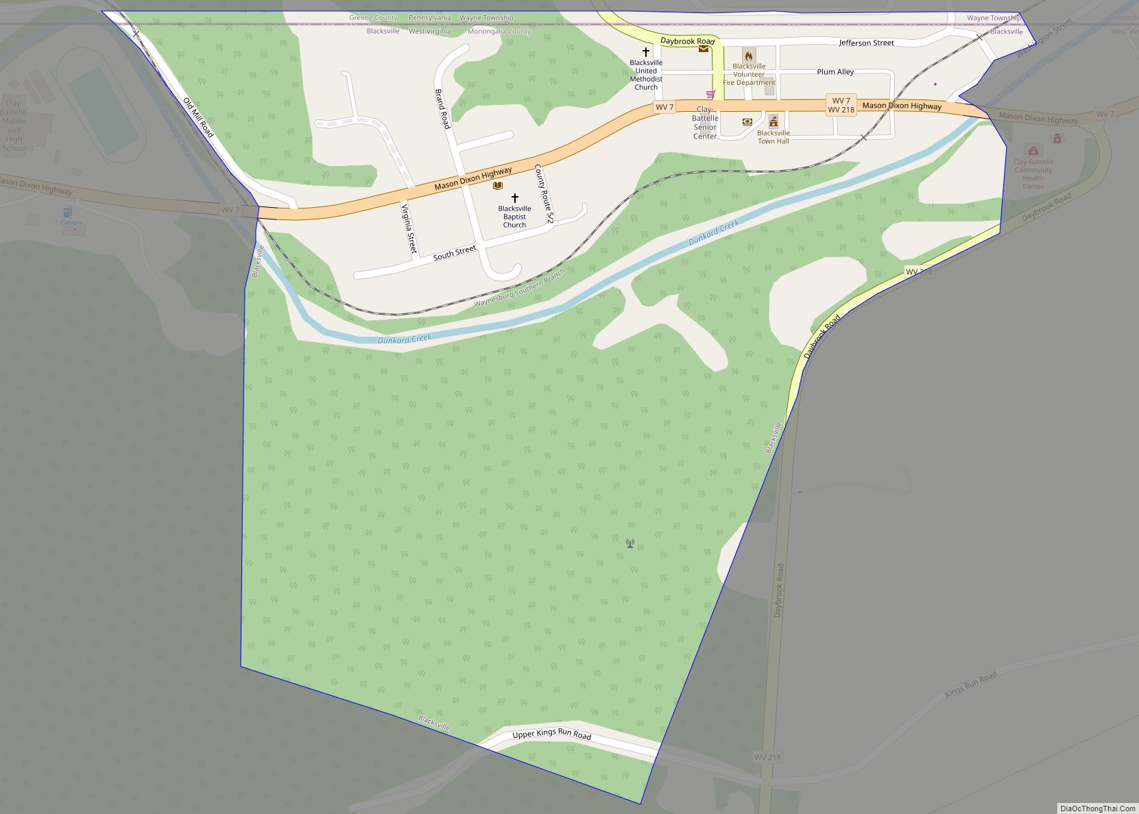
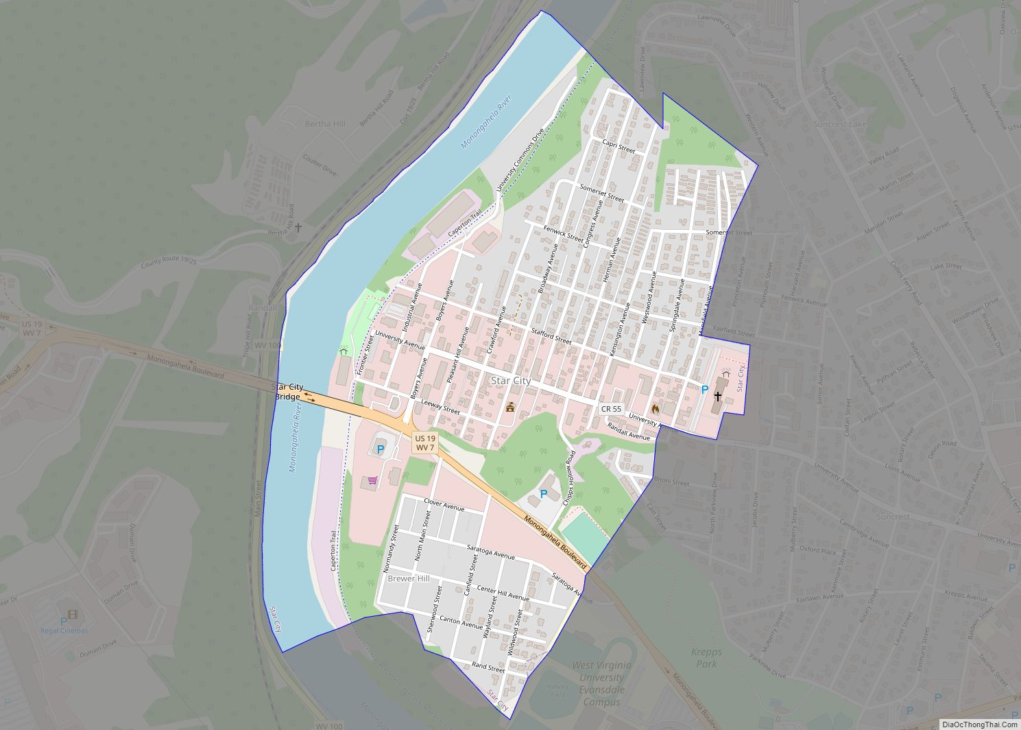
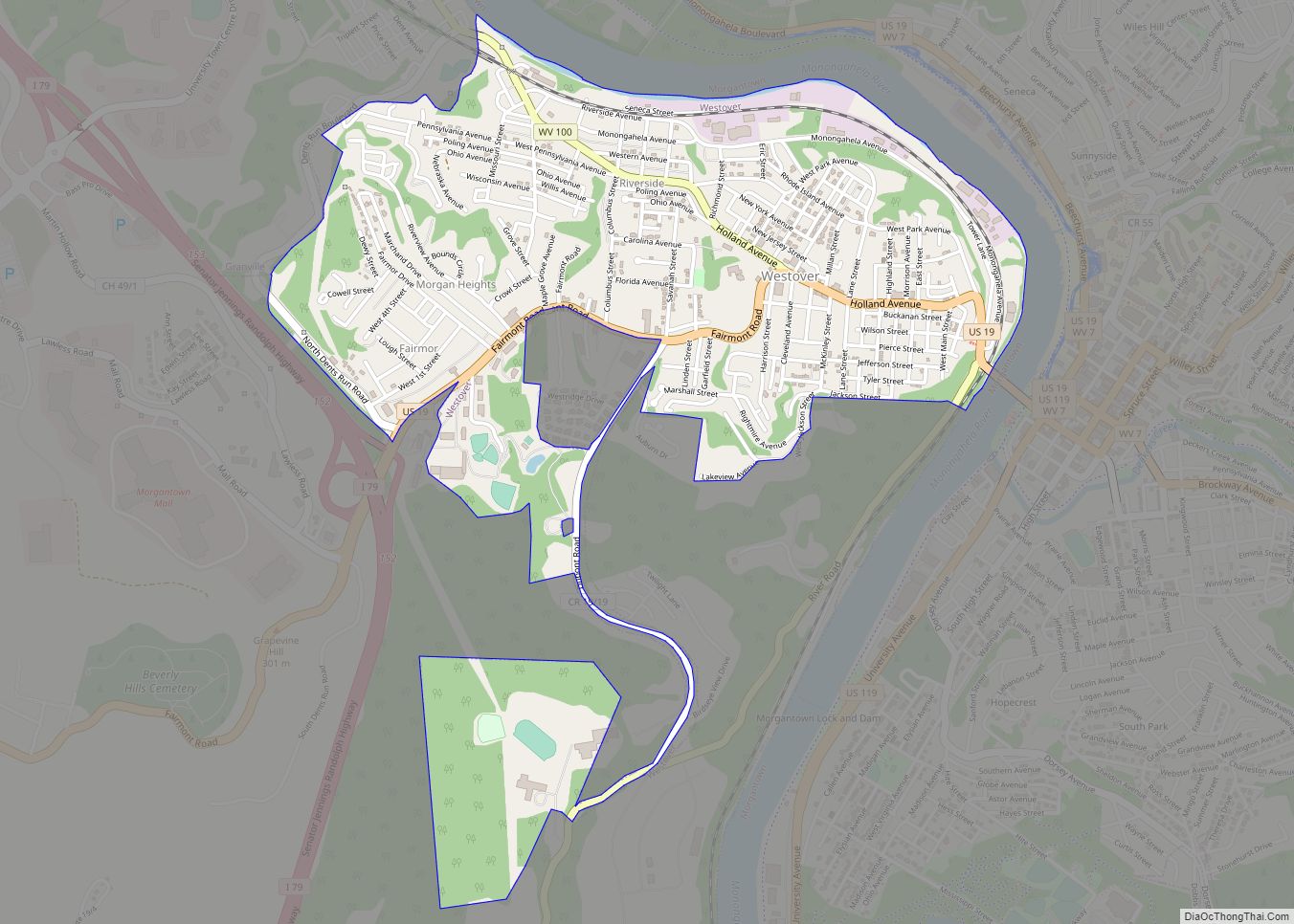
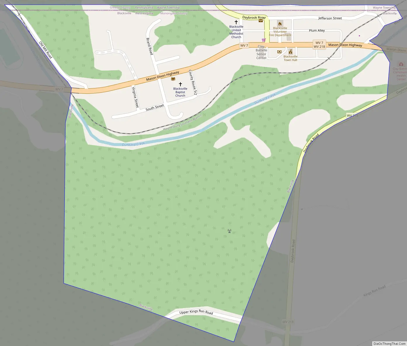
Blacksville Road Map
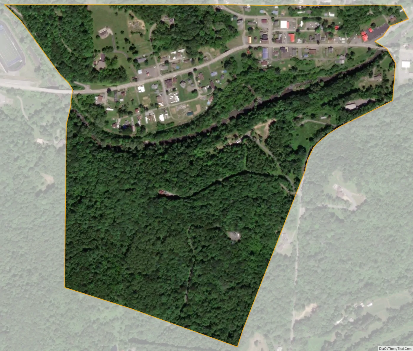
Blacksville city Satellite Map
Geography
Blacksville is located at 39°43′12″N 80°12′45″W / 39.72000°N 80.21250°W / 39.72000; -80.21250 (39.720036, -80.212562).
According to the United States Census Bureau, the town has a total area of 0.31 square miles (0.80 km), of which 0.30 square miles (0.78 km) is land and 0.01 square miles (0.03 km) is water.
See also
Map of West Virginia State and its subdivision:- Barbour
- Berkeley
- Boone
- Braxton
- Brooke
- Cabell
- Calhoun
- Clay
- Doddridge
- Fayette
- Gilmer
- Grant
- Greenbrier
- Hampshire
- Hancock
- Hardy
- Harrison
- Jackson
- Jefferson
- Kanawha
- Lewis
- Lincoln
- Logan
- Marion
- Marshall
- Mason
- McDowell
- Mercer
- Mineral
- Mingo
- Monongalia
- Monroe
- Morgan
- Nicholas
- Ohio
- Pendleton
- Pleasants
- Pocahontas
- Preston
- Putnam
- Raleigh
- Randolph
- Ritchie
- Roane
- Summers
- Taylor
- Tucker
- Tyler
- Upshur
- Wayne
- Webster
- Wetzel
- Wirt
- Wood
- Wyoming
- Alabama
- Alaska
- Arizona
- Arkansas
- California
- Colorado
- Connecticut
- Delaware
- District of Columbia
- Florida
- Georgia
- Hawaii
- Idaho
- Illinois
- Indiana
- Iowa
- Kansas
- Kentucky
- Louisiana
- Maine
- Maryland
- Massachusetts
- Michigan
- Minnesota
- Mississippi
- Missouri
- Montana
- Nebraska
- Nevada
- New Hampshire
- New Jersey
- New Mexico
- New York
- North Carolina
- North Dakota
- Ohio
- Oklahoma
- Oregon
- Pennsylvania
- Rhode Island
- South Carolina
- South Dakota
- Tennessee
- Texas
- Utah
- Vermont
- Virginia
- Washington
- West Virginia
- Wisconsin
- Wyoming