Bradshaw is a town in McDowell County, West Virginia, United States. The population was 337 at the 2010 census. Bradshaw was incorporated in December 1979 and named for a pioneer settler.
| Name: | Bradshaw town |
|---|---|
| LSAD Code: | 43 |
| LSAD Description: | town (suffix) |
| State: | West Virginia |
| County: | McDowell County |
| Total Area: | 0.80 sq mi (2.07 km²) |
| Land Area: | 0.77 sq mi (2.00 km²) |
| Water Area: | 0.03 sq mi (0.07 km²) |
| Total Population: | 337 |
| Population Density: | 350.13/sq mi (135.22/km²) |
| ZIP code: | 24817 |
| FIPS code: | 5409700 |
| GNISfeature ID: | 2390746 |
Online Interactive Map
Click on ![]() to view map in "full screen" mode.
to view map in "full screen" mode.
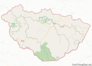
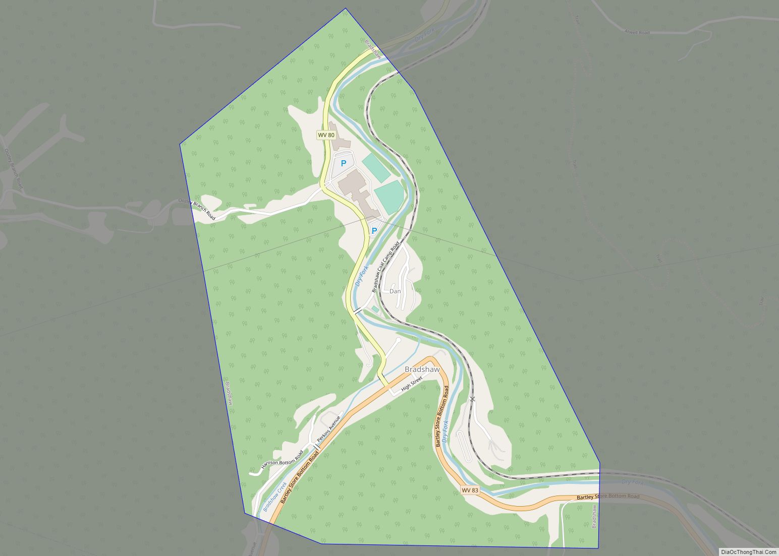
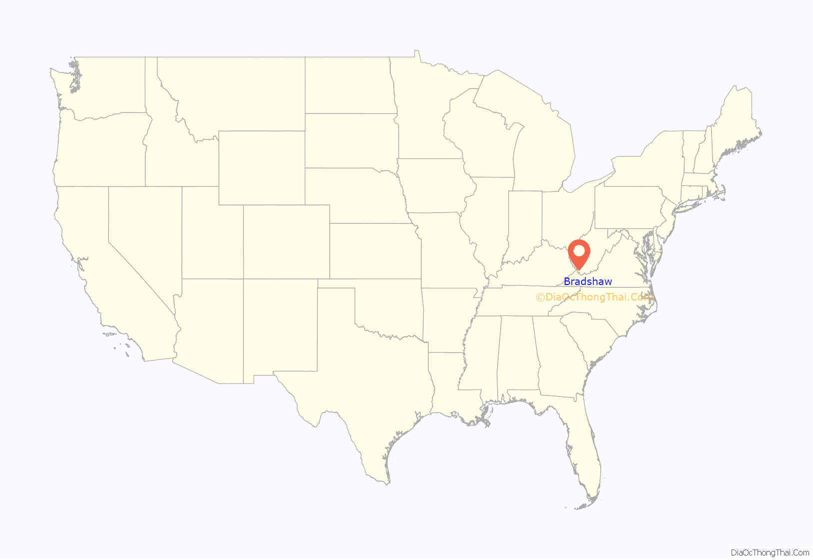
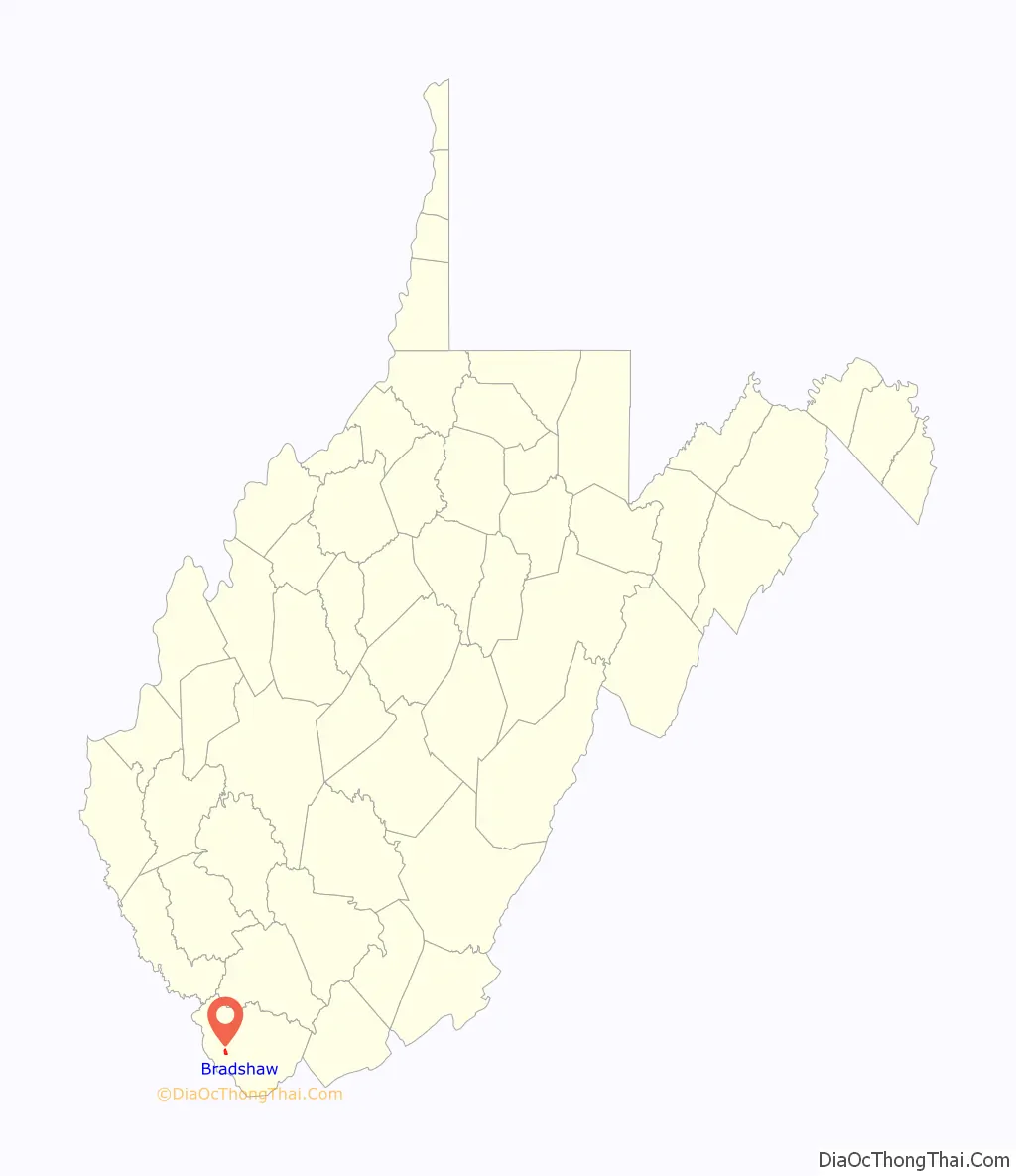
Bradshaw location map. Where is Bradshaw town?
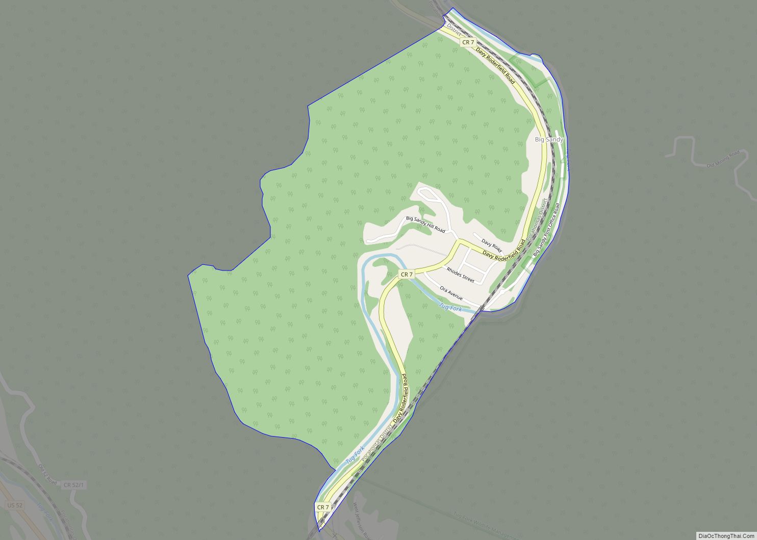
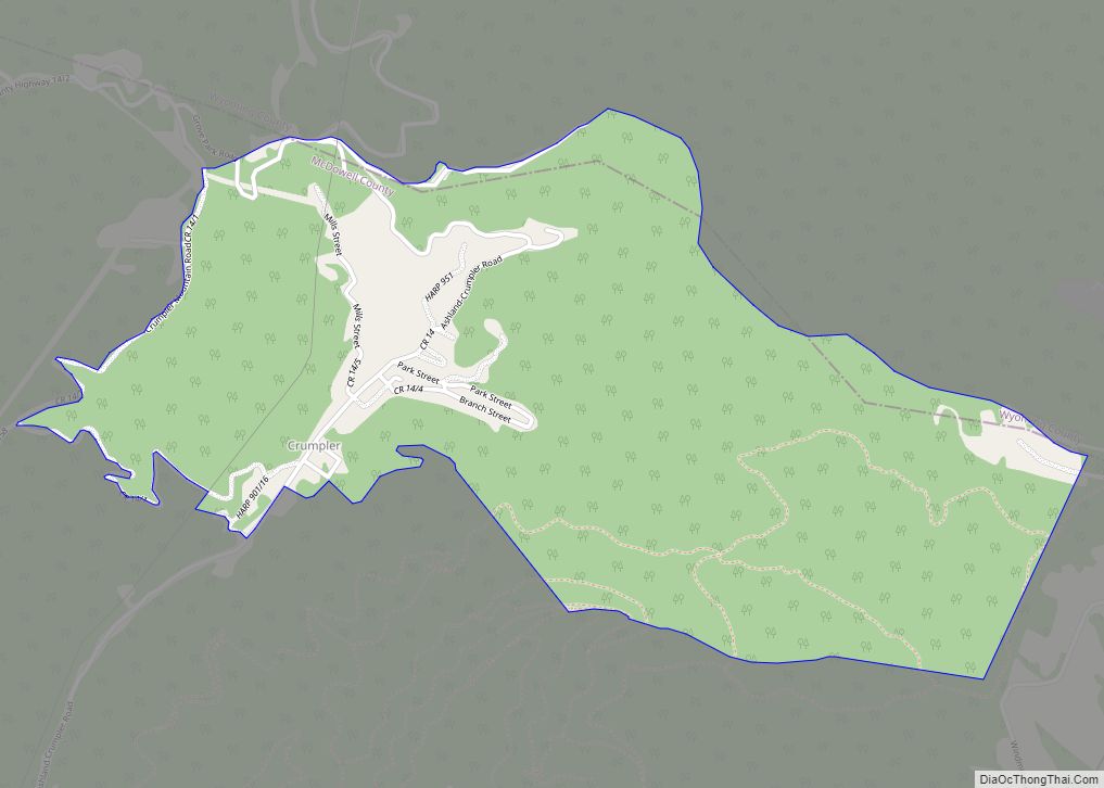
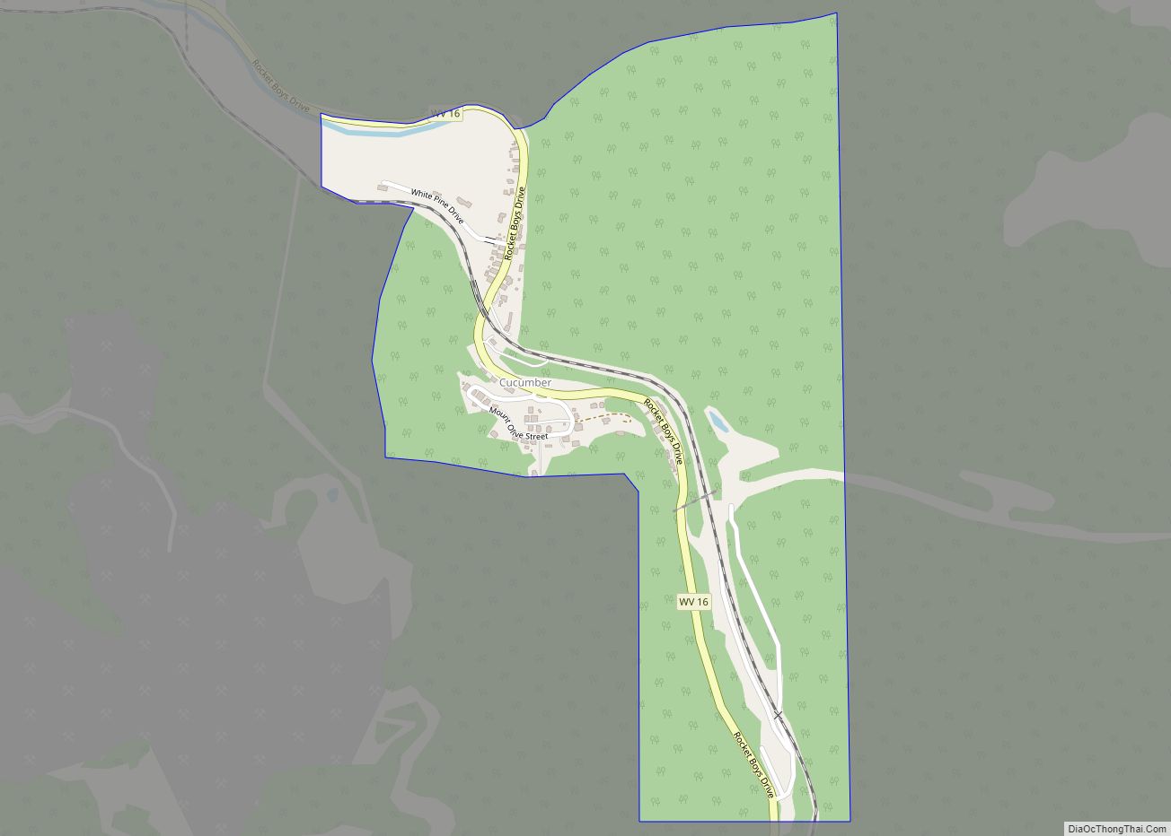
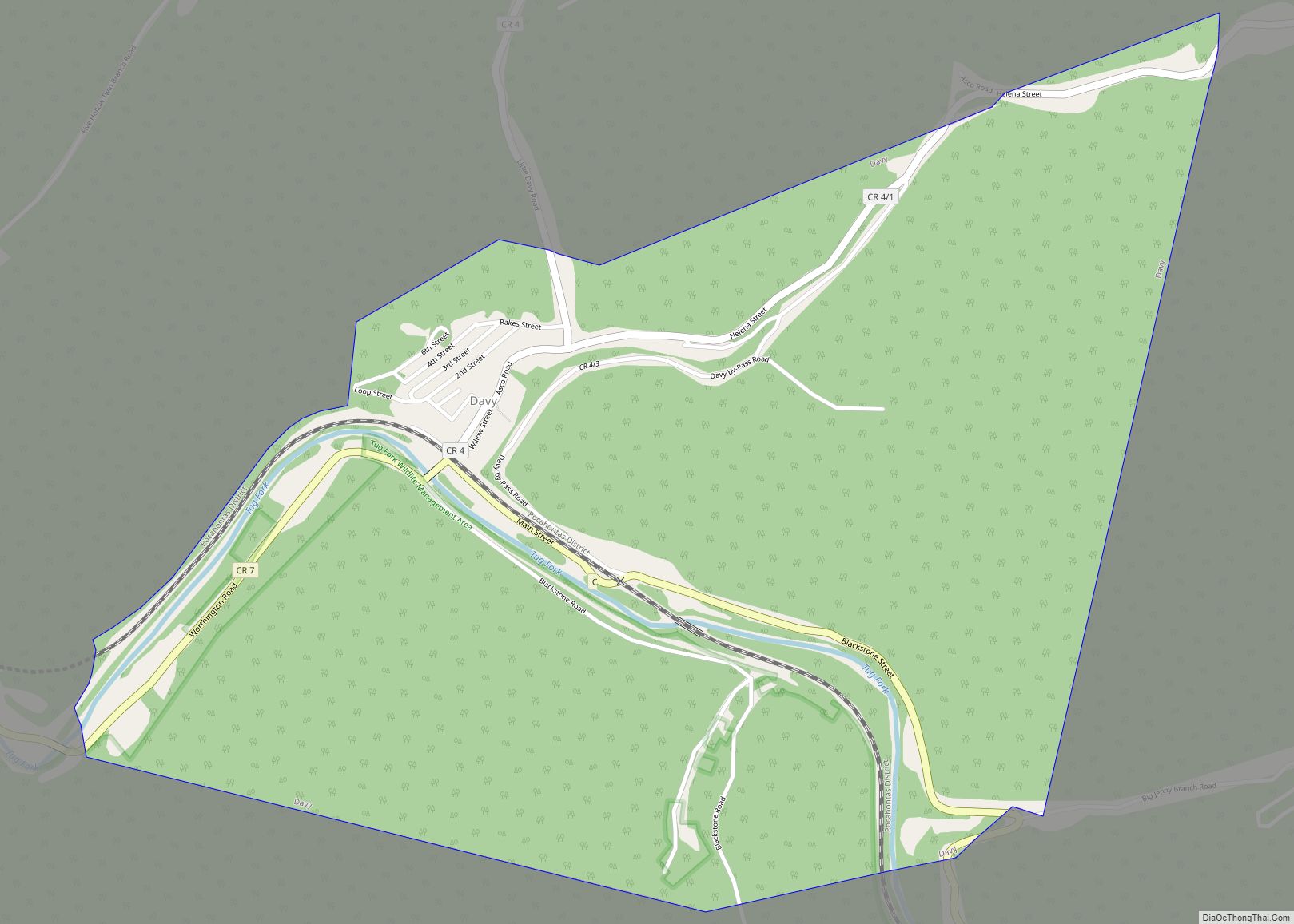
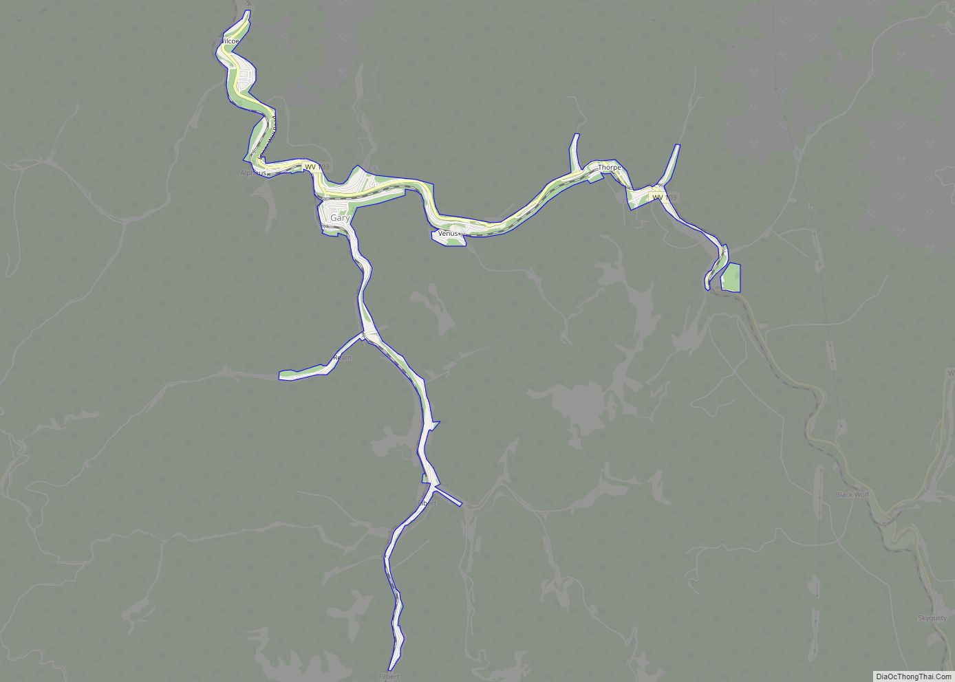
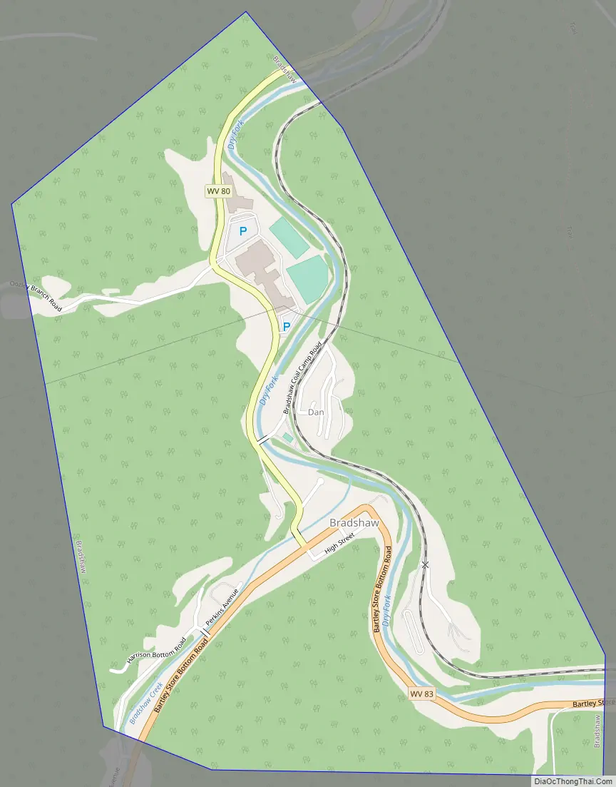
Bradshaw Road Map
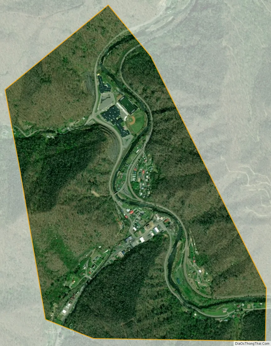
Bradshaw city Satellite Map
Geography
According to the United States Census Bureau, the town has a total area of 0.80 square miles (2.07 km), of which 0.77 square miles (1.99 km) is land and 0.03 square miles (0.08 km) is water.
Bradshaw is on the Sandy River and is serviced by the Norfolk Southern Railway(former Norfolk and Western) network. The town has River View High School (West Virginia) one of only two high schools in the County.
See also
Map of West Virginia State and its subdivision:- Barbour
- Berkeley
- Boone
- Braxton
- Brooke
- Cabell
- Calhoun
- Clay
- Doddridge
- Fayette
- Gilmer
- Grant
- Greenbrier
- Hampshire
- Hancock
- Hardy
- Harrison
- Jackson
- Jefferson
- Kanawha
- Lewis
- Lincoln
- Logan
- Marion
- Marshall
- Mason
- McDowell
- Mercer
- Mineral
- Mingo
- Monongalia
- Monroe
- Morgan
- Nicholas
- Ohio
- Pendleton
- Pleasants
- Pocahontas
- Preston
- Putnam
- Raleigh
- Randolph
- Ritchie
- Roane
- Summers
- Taylor
- Tucker
- Tyler
- Upshur
- Wayne
- Webster
- Wetzel
- Wirt
- Wood
- Wyoming
- Alabama
- Alaska
- Arizona
- Arkansas
- California
- Colorado
- Connecticut
- Delaware
- District of Columbia
- Florida
- Georgia
- Hawaii
- Idaho
- Illinois
- Indiana
- Iowa
- Kansas
- Kentucky
- Louisiana
- Maine
- Maryland
- Massachusetts
- Michigan
- Minnesota
- Mississippi
- Missouri
- Montana
- Nebraska
- Nevada
- New Hampshire
- New Jersey
- New Mexico
- New York
- North Carolina
- North Dakota
- Ohio
- Oklahoma
- Oregon
- Pennsylvania
- Rhode Island
- South Carolina
- South Dakota
- Tennessee
- Texas
- Utah
- Vermont
- Virginia
- Washington
- West Virginia
- Wisconsin
- Wyoming