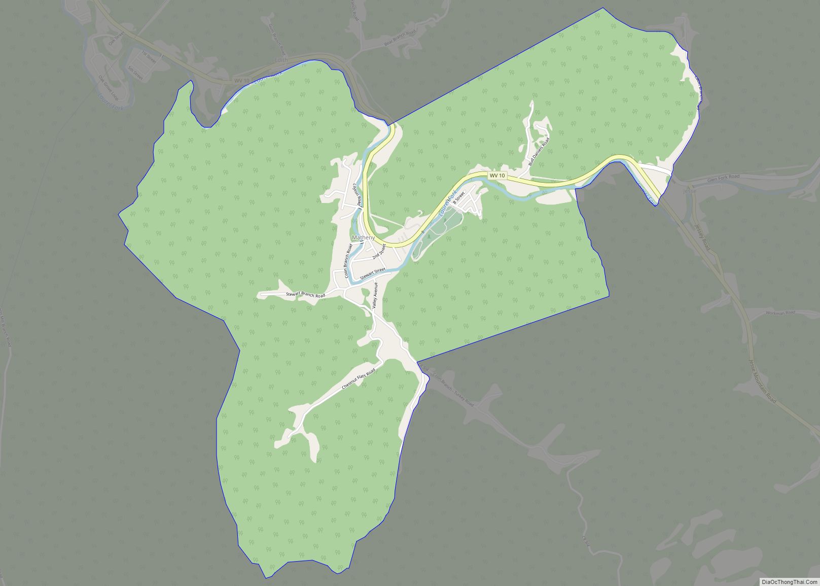
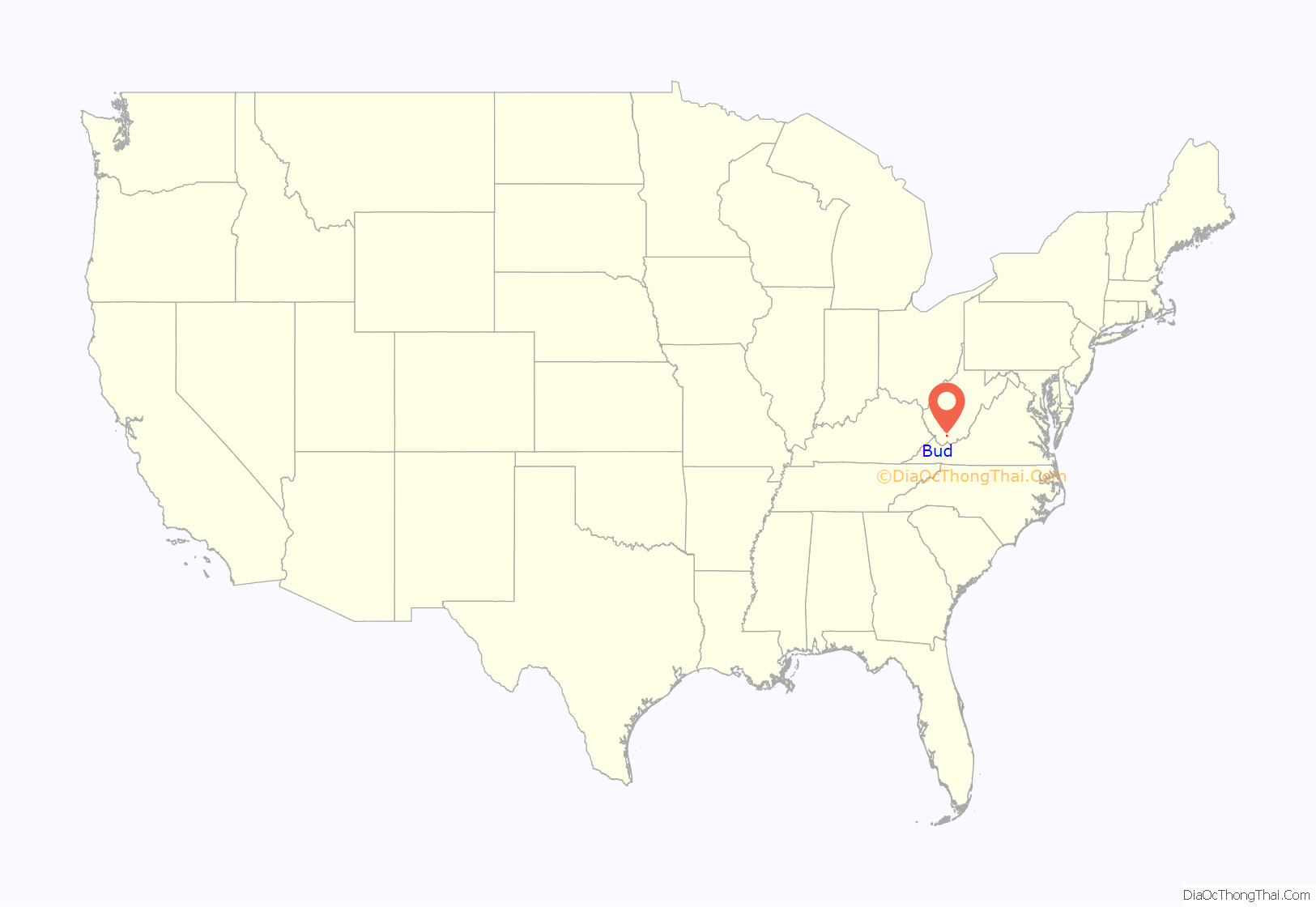
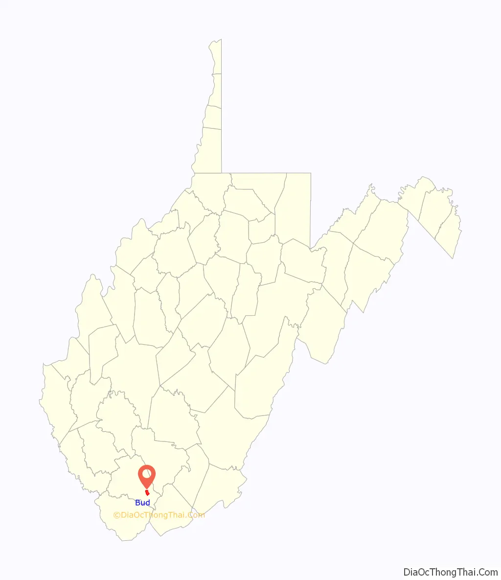
Bud is a census-designated place (CDP) in Wyoming County, West Virginia, United States, along Barkers Creek and West Virginia Route 10. As of the 2010 census, its population was 487.
The community has the name of Bud Adams, a businessperson in the local logging industry.
| Name: | Bud CDP |
|---|---|
| LSAD Code: | 57 |
| LSAD Description: | CDP (suffix) |
| State: | West Virginia |
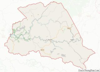
| County: | Wyoming County |
| Total Area: | 3.147 sq mi (8.15 km²) |
| Land Area: | 3.122 sq mi (8.09 km²) |
| Water Area: | 0.025 sq mi (0.06 km²) |
| Total Population: | 487 |
| Population Density: | 150/sq mi (60/km²) |
| ZIP code: | 24716 |
| FIPS code: | 5411212 |
Online Interactive Map
Click on ![]() to view map in "full screen" mode.
to view map in "full screen" mode.
Bud location map. Where is Bud CDP?
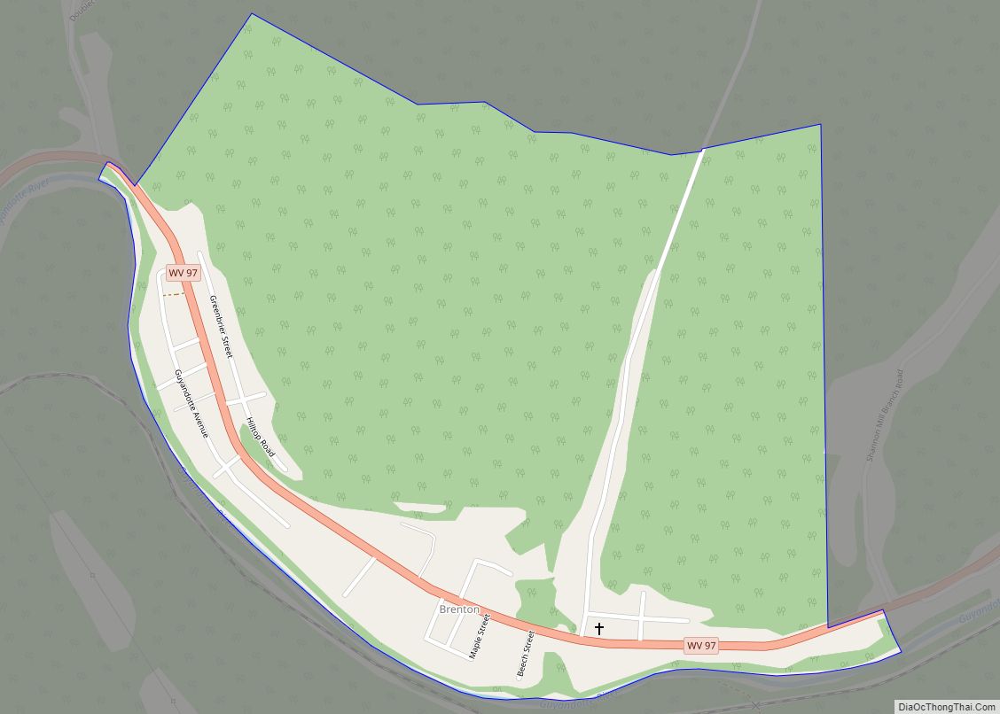
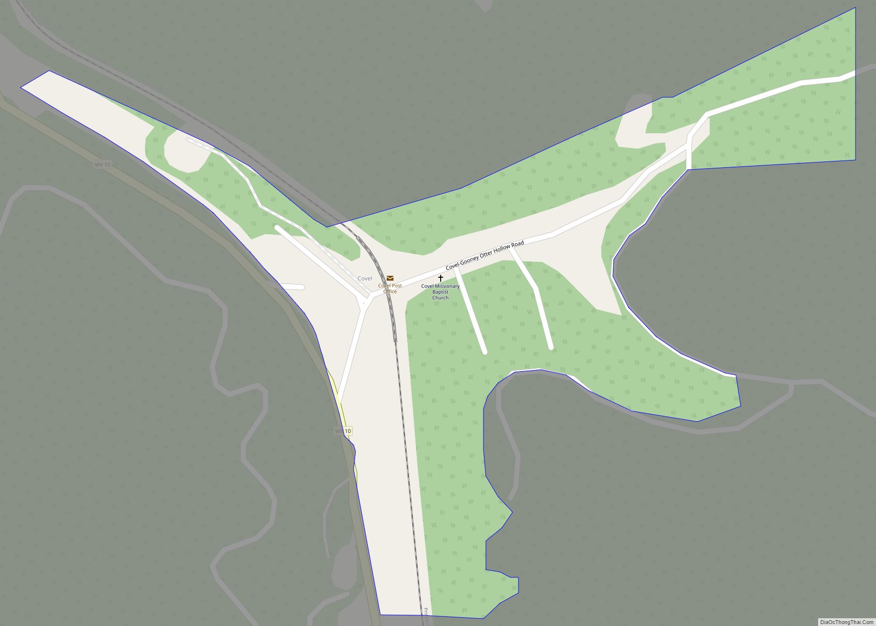
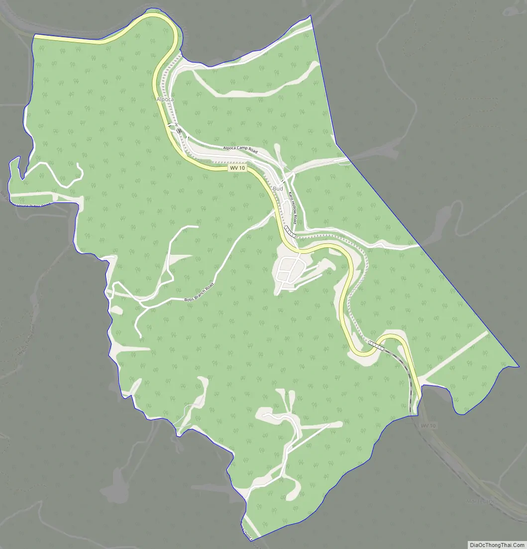
Bud Road Map
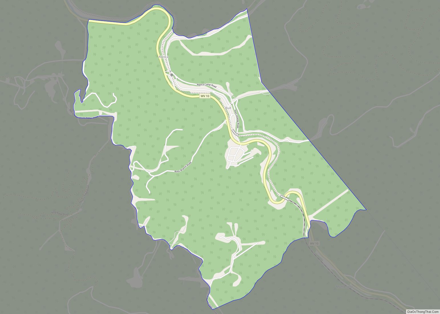
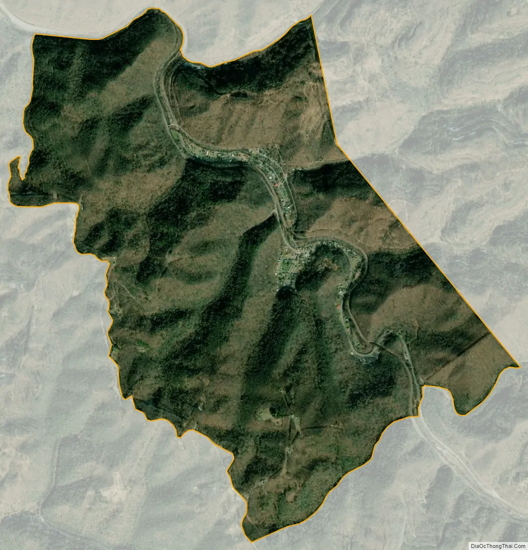
Bud city Satellite Map
See also
Map of West Virginia State and its subdivision:- Barbour
- Berkeley
- Boone
- Braxton
- Brooke
- Cabell
- Calhoun
- Clay
- Doddridge
- Fayette
- Gilmer
- Grant
- Greenbrier
- Hampshire
- Hancock
- Hardy
- Harrison
- Jackson
- Jefferson
- Kanawha
- Lewis
- Lincoln
- Logan
- Marion
- Marshall
- Mason
- McDowell
- Mercer
- Mineral
- Mingo
- Monongalia
- Monroe
- Morgan
- Nicholas
- Ohio
- Pendleton
- Pleasants
- Pocahontas
- Preston
- Putnam
- Raleigh
- Randolph
- Ritchie
- Roane
- Summers
- Taylor
- Tucker
- Tyler
- Upshur
- Wayne
- Webster
- Wetzel
- Wirt
- Wood
- Wyoming
- Alabama
- Alaska
- Arizona
- Arkansas
- California
- Colorado
- Connecticut
- Delaware
- District of Columbia
- Florida
- Georgia
- Hawaii
- Idaho
- Illinois
- Indiana
- Iowa
- Kansas
- Kentucky
- Louisiana
- Maine
- Maryland
- Massachusetts
- Michigan
- Minnesota
- Mississippi
- Missouri
- Montana
- Nebraska
- Nevada
- New Hampshire
- New Jersey
- New Mexico
- New York
- North Carolina
- North Dakota
- Ohio
- Oklahoma
- Oregon
- Pennsylvania
- Rhode Island
- South Carolina
- South Dakota
- Tennessee
- Texas
- Utah
- Vermont
- Virginia
- Washington
- West Virginia
- Wisconsin
- Wyoming