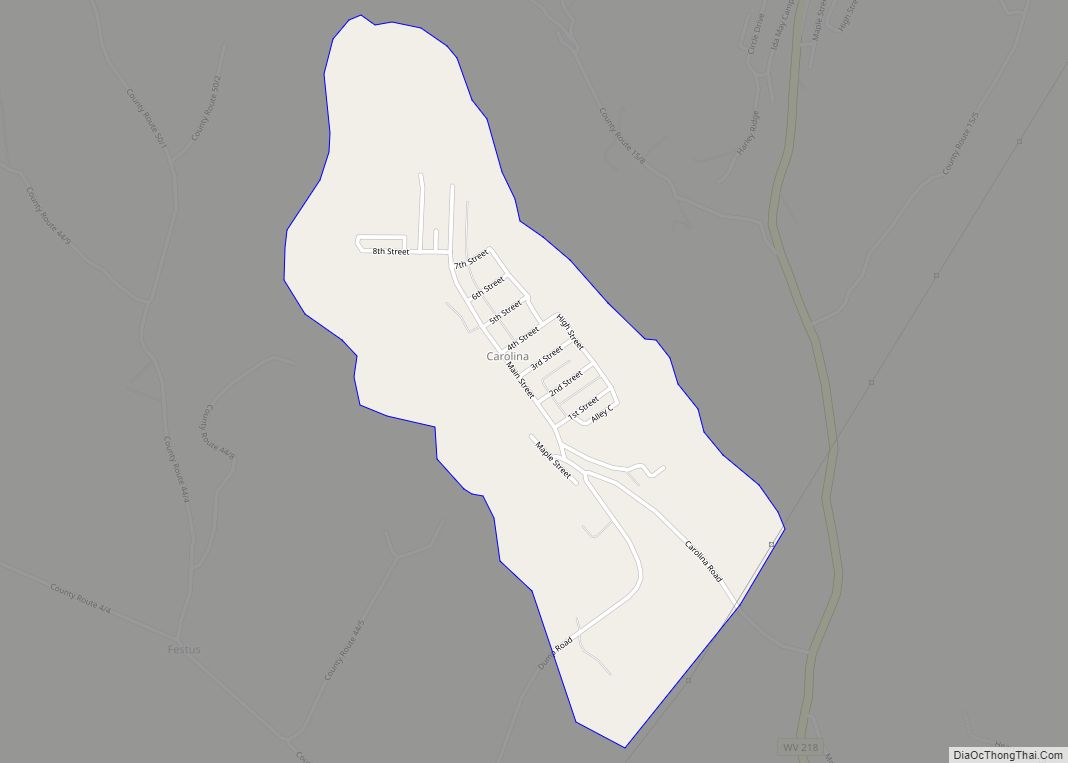
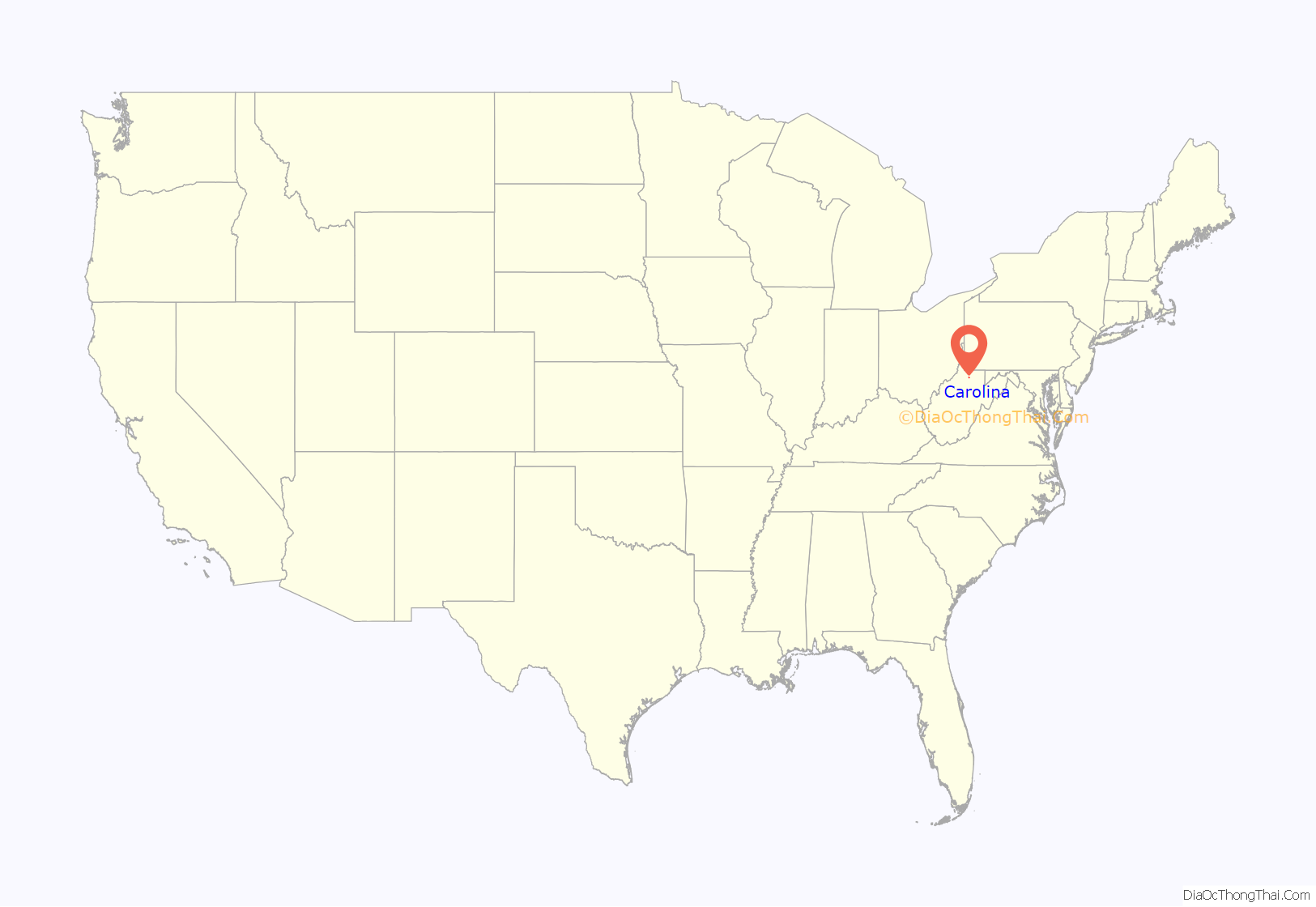
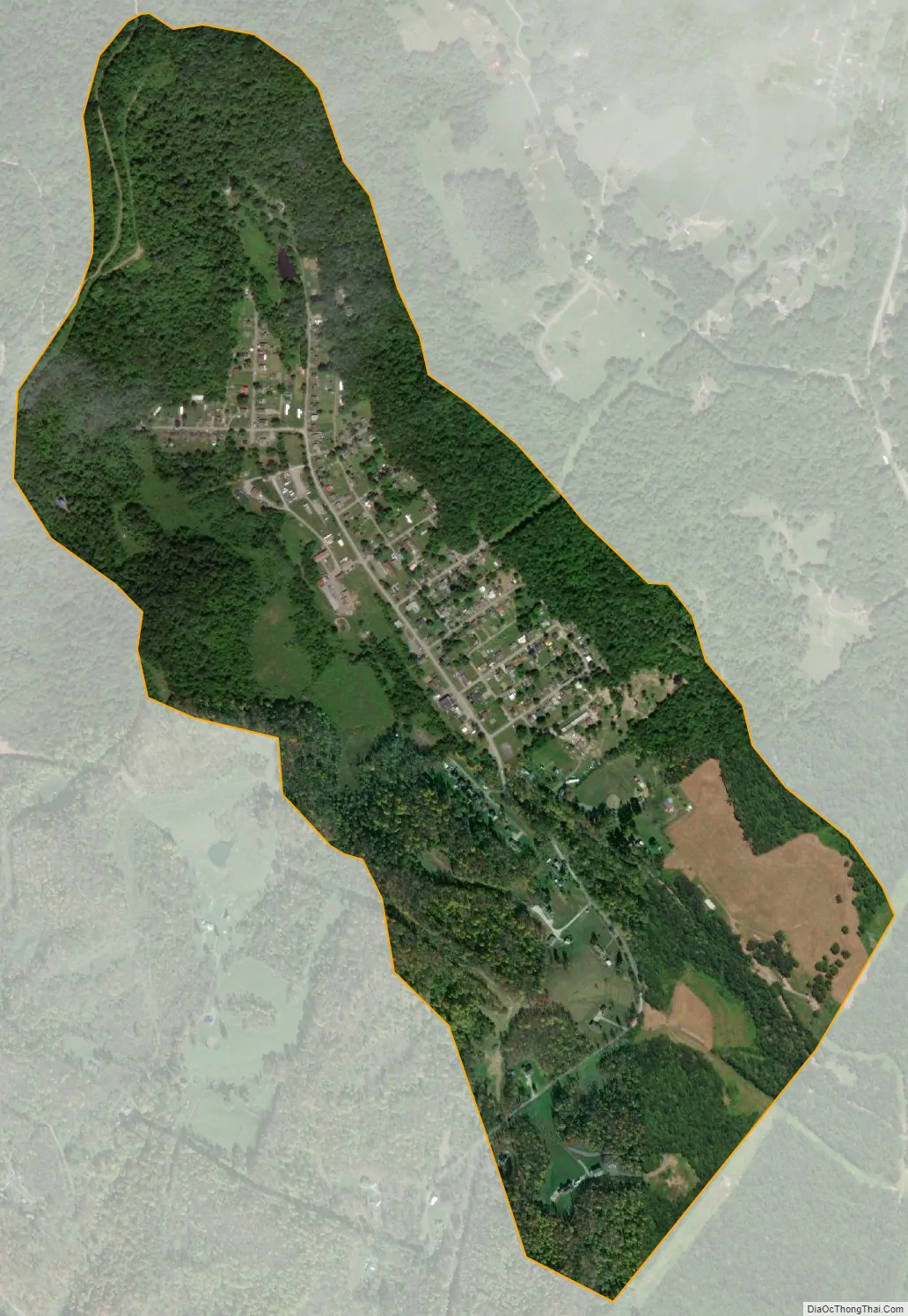
Carolina is a census-designated place (CDP) in Marion County, West Virginia, United States. Carolina is 2 miles (3.2 km) north-northwest of Worthington. Carolina has a post office with ZIP code 26563. As of the 2010 census, its population was 411.
The community was named after Caroline Watson, a daughter of mining executive James Watson.
| Name: | Carolina CDP |
|---|---|
| LSAD Code: | 57 |
| LSAD Description: | CDP (suffix) |
| State: | West Virginia |
| County: | Marion County |
| Elevation: | 1,184 ft (361 m) |
| Total Area: | 0.831 sq mi (2.15 km²) |
| Land Area: | 0.830 sq mi (2.15 km²) |
| Water Area: | 0.001 sq mi (0.003 km²) |
| Total Population: | 411 |
| Population Density: | 490/sq mi (190/km²) |
| ZIP code: | 26563 |
| Area code: | 304 & 681 |
| FIPS code: | 5413468 |
| GNISfeature ID: | 1554077 |
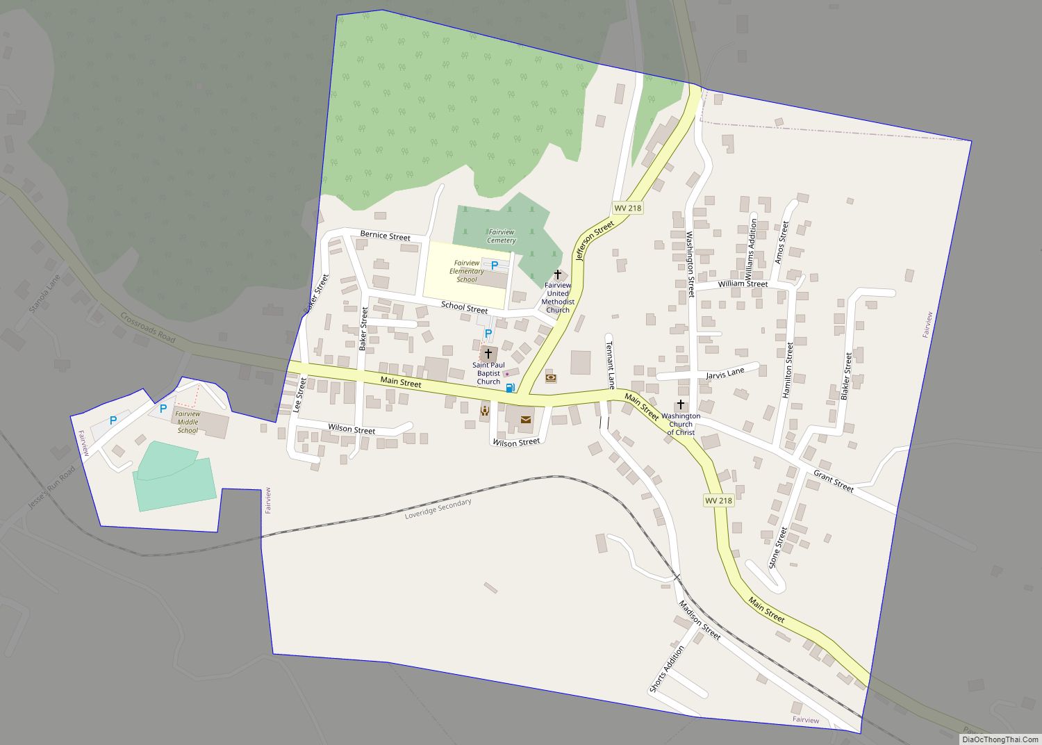
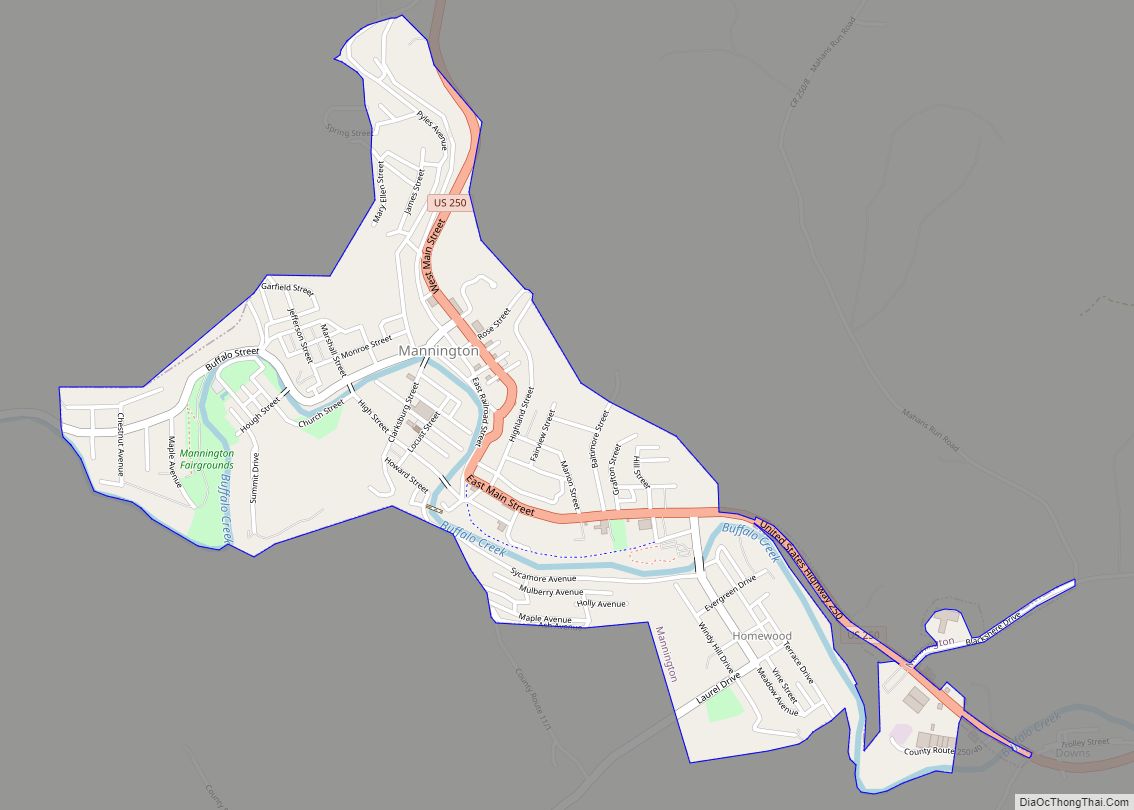
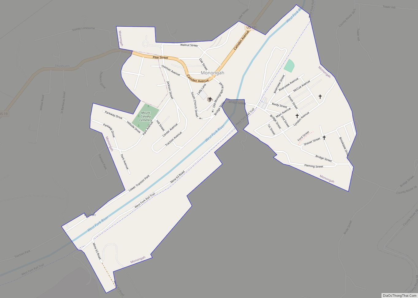
Online Interactive Map
Click on ![]() to view map in "full screen" mode.
to view map in "full screen" mode.
Carolina location map. Where is Carolina CDP?

Carolina Road Map

Carolina city Satellite Map
See also
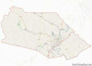
Map of West Virginia State and its subdivision:- Barbour
- Berkeley
- Boone
- Braxton
- Brooke
- Cabell
- Calhoun
- Clay
- Doddridge
- Fayette
- Gilmer
- Grant
- Greenbrier
- Hampshire
- Hancock
- Hardy
- Harrison
- Jackson
- Jefferson
- Kanawha
- Lewis
- Lincoln
- Logan
- Marion
- Marshall
- Mason
- McDowell
- Mercer
- Mineral
- Mingo
- Monongalia
- Monroe
- Morgan
- Nicholas
- Ohio
- Pendleton
- Pleasants
- Pocahontas
- Preston
- Putnam
- Raleigh
- Randolph
- Ritchie
- Roane
- Summers
- Taylor
- Tucker
- Tyler
- Upshur
- Wayne
- Webster
- Wetzel
- Wirt
- Wood
- Wyoming
- Alabama
- Alaska
- Arizona
- Arkansas
- California
- Colorado
- Connecticut
- Delaware
- District of Columbia
- Florida
- Georgia
- Hawaii
- Idaho
- Illinois
- Indiana
- Iowa
- Kansas
- Kentucky
- Louisiana
- Maine
- Maryland
- Massachusetts
- Michigan
- Minnesota
- Mississippi
- Missouri
- Montana
- Nebraska
- Nevada
- New Hampshire
- New Jersey
- New Mexico
- New York
- North Carolina
- North Dakota
- Ohio
- Oklahoma
- Oregon
- Pennsylvania
- Rhode Island
- South Carolina
- South Dakota
- Tennessee
- Texas
- Utah
- Vermont
- Virginia
- Washington
- West Virginia
- Wisconsin
- Wyoming